TagAirport(197)
-
 2024-08-13
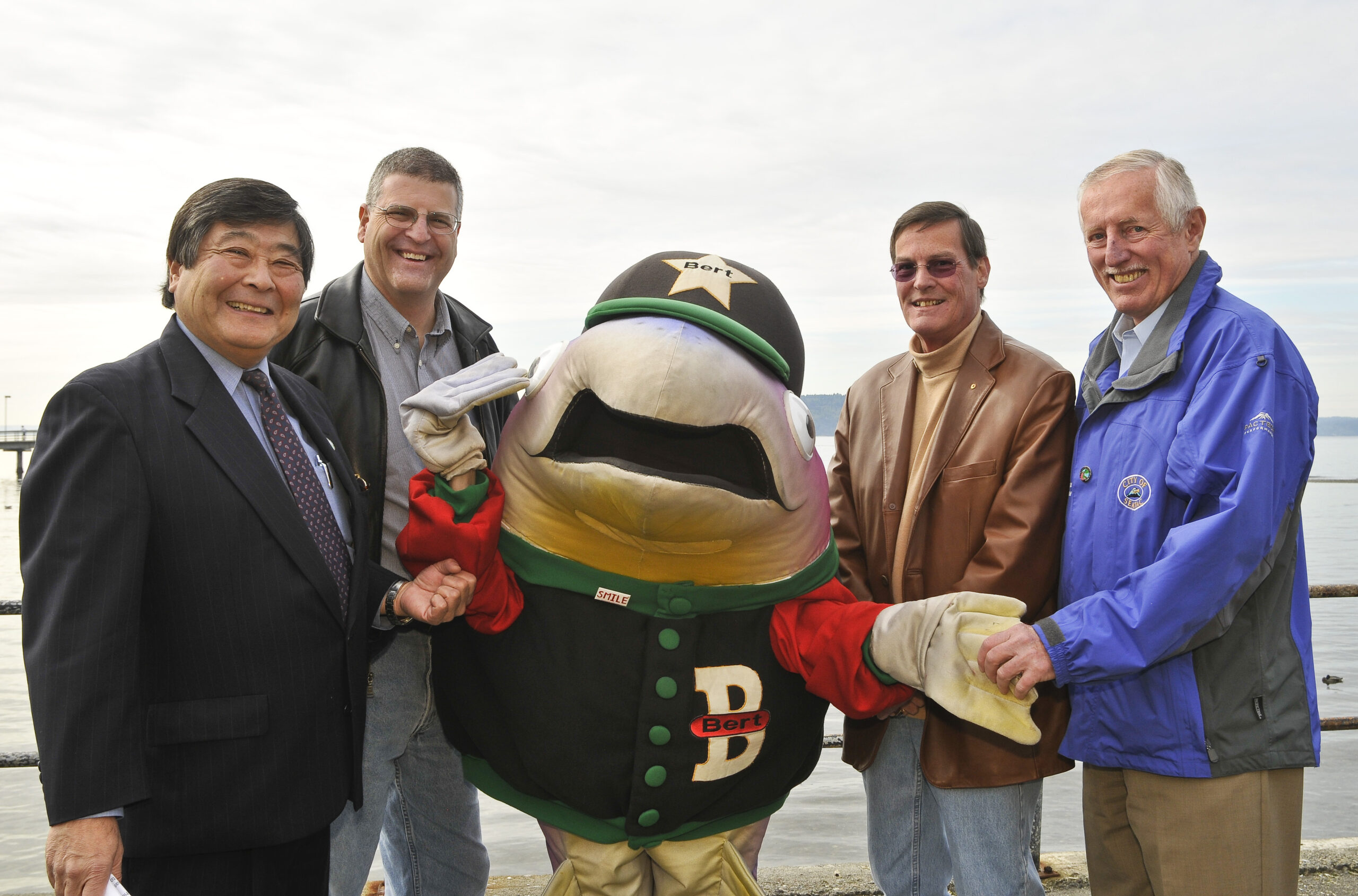
Port of Seattle Officials and Mascot Photo
Four men pose with a costumed mascot character named 'Bert' (visible on hat star and jersey letter 'B') near a waterfront location. The man at far right wears a blue jacket bearing what appears to be a 'City of' logo/patch; the mascot's jacket also reads 'SMILE' on a button. -
 2024-08-13
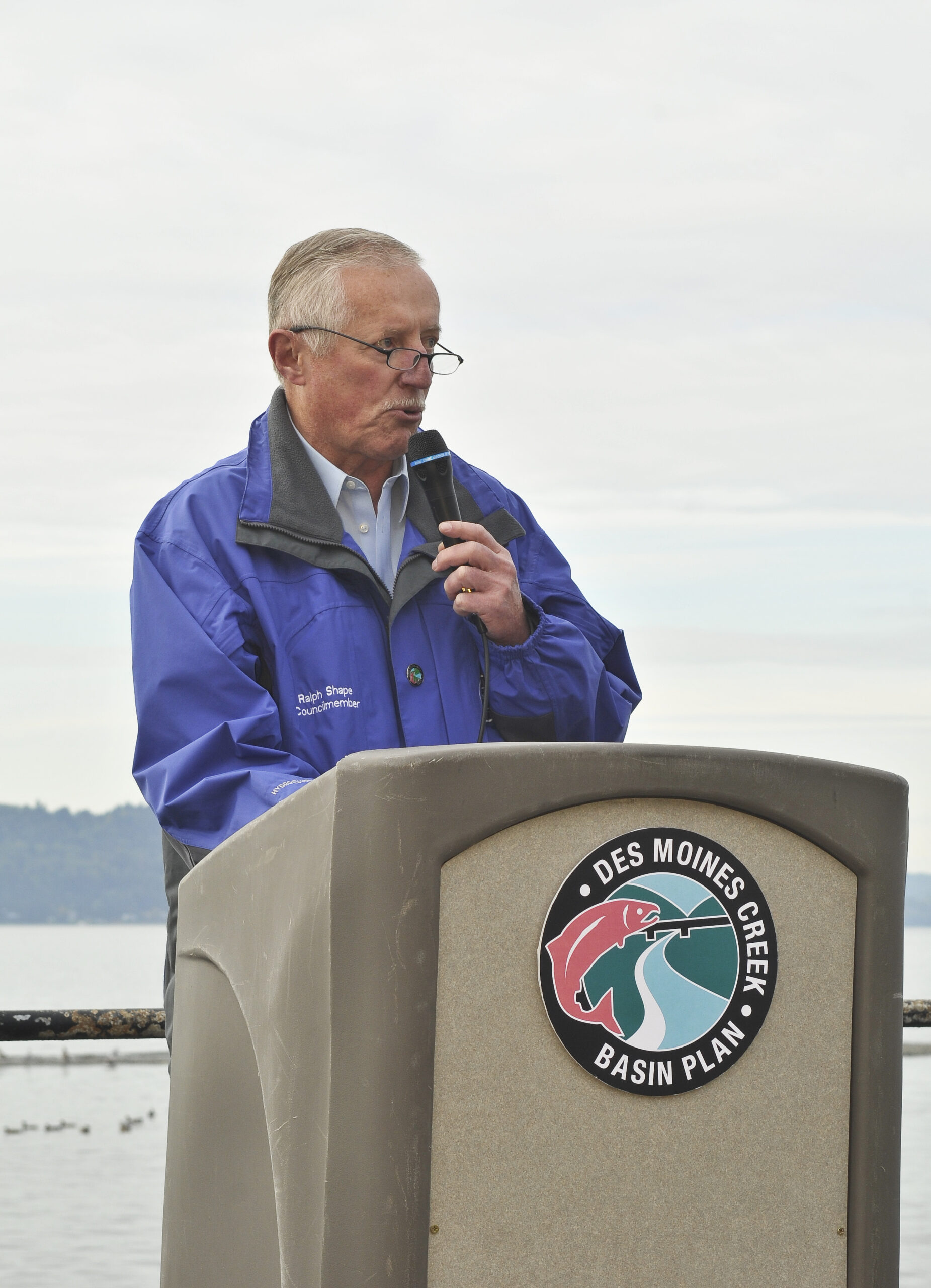
Des Moines Creek Basin Plan Event
Ralph Shape, Councilmember, speaks at a podium bearing the Des Moines Creek Basin Plan logo. The outdoor setting appears to be near a waterway, consistent with a watershed or environmental planning announcement. -
 2024-08-13
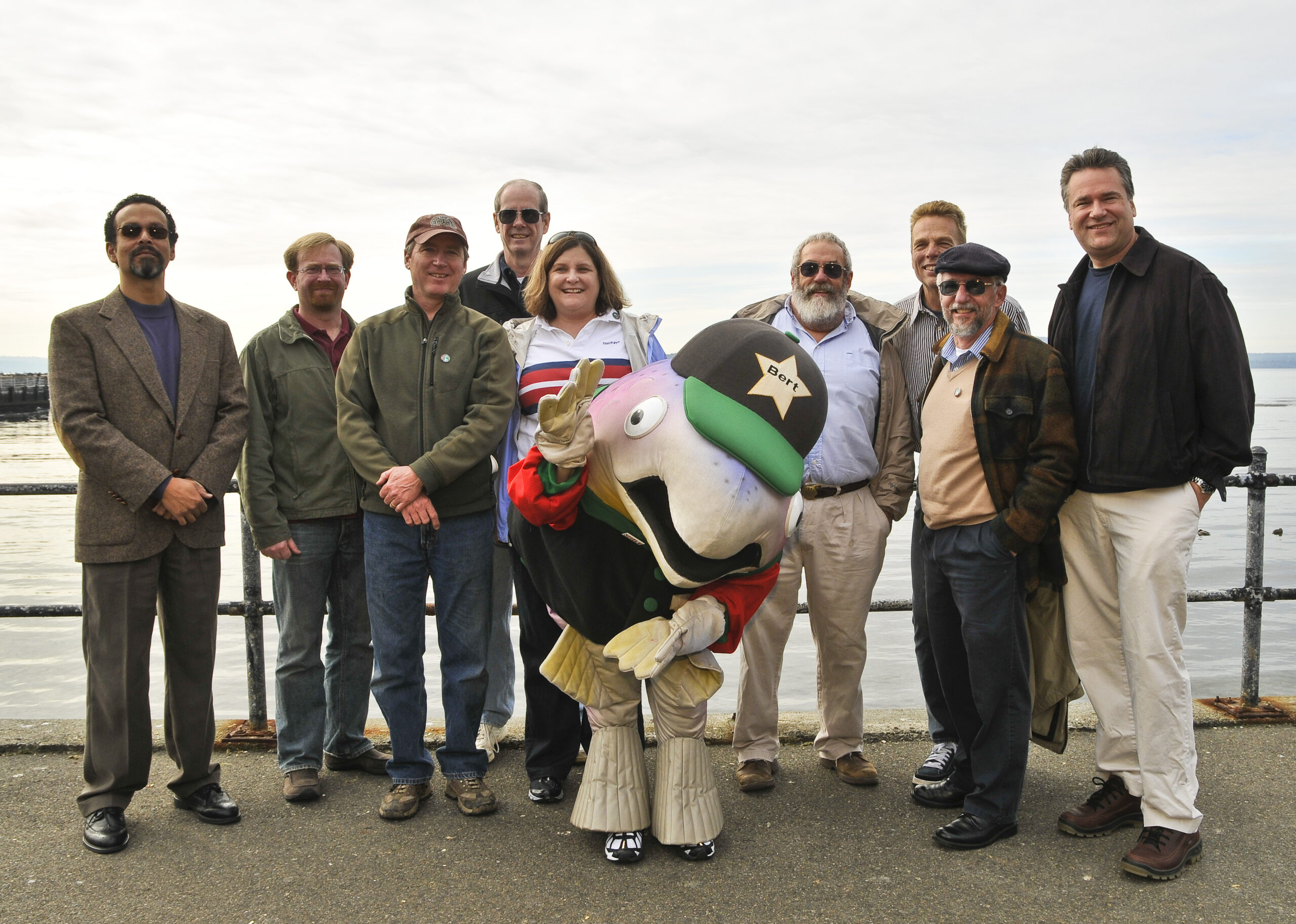
Group photo with SeaTac Airport mascot Bert
A group of approximately nine adults poses outdoors near a waterfront railing with a large decorative fish sculpture or costume character named 'Bert' (visible star badge with the name). The overcast sky and water in the background suggest a Pacific Northwest coastal or waterfront location. -
 2024-08-13
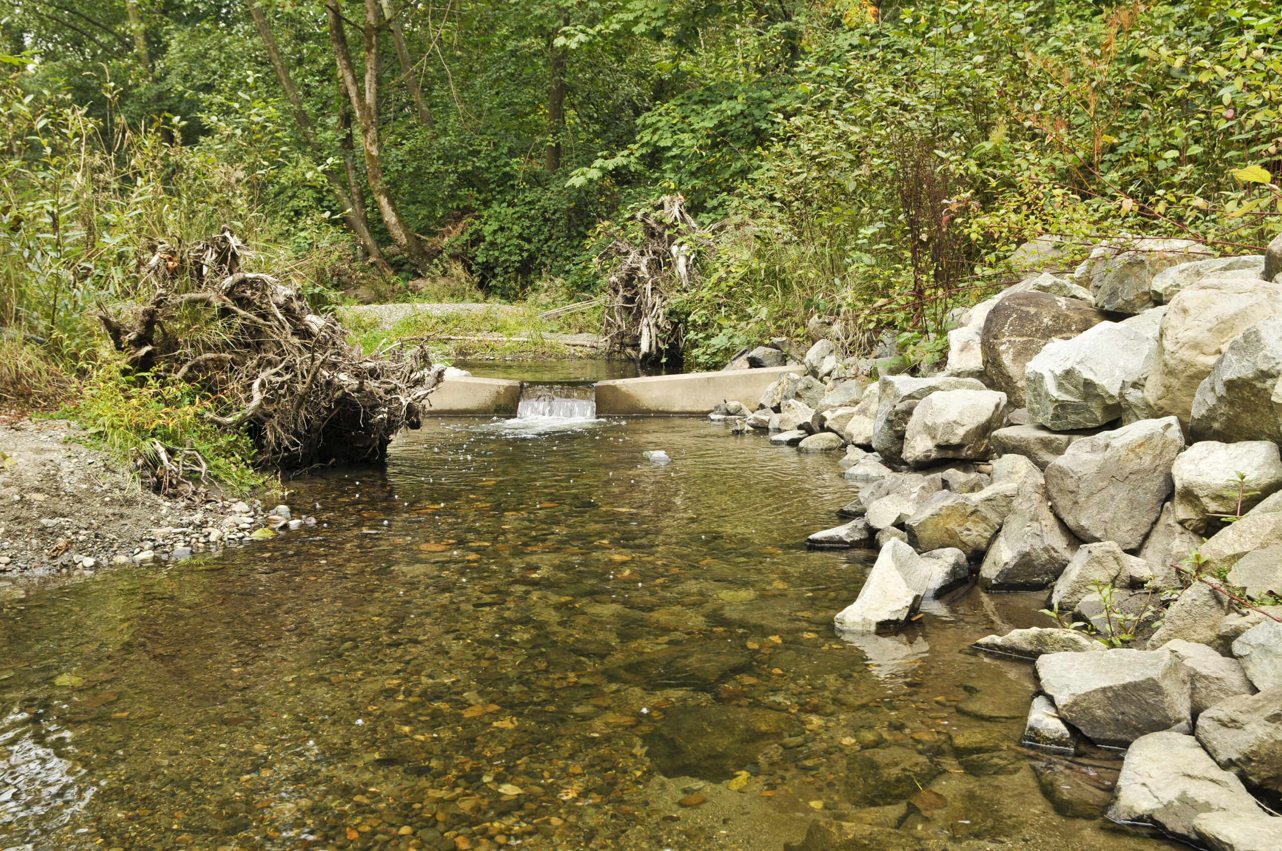
Stream or Creek with Water Control Structure
Image shows a natural stream or creek flowing through a wooded area with a concrete water control structure or small dam. Large rocks line the banks and fallen logs are visible along the edges. The clear water flows over the concrete structure creating a small waterfall effect. -
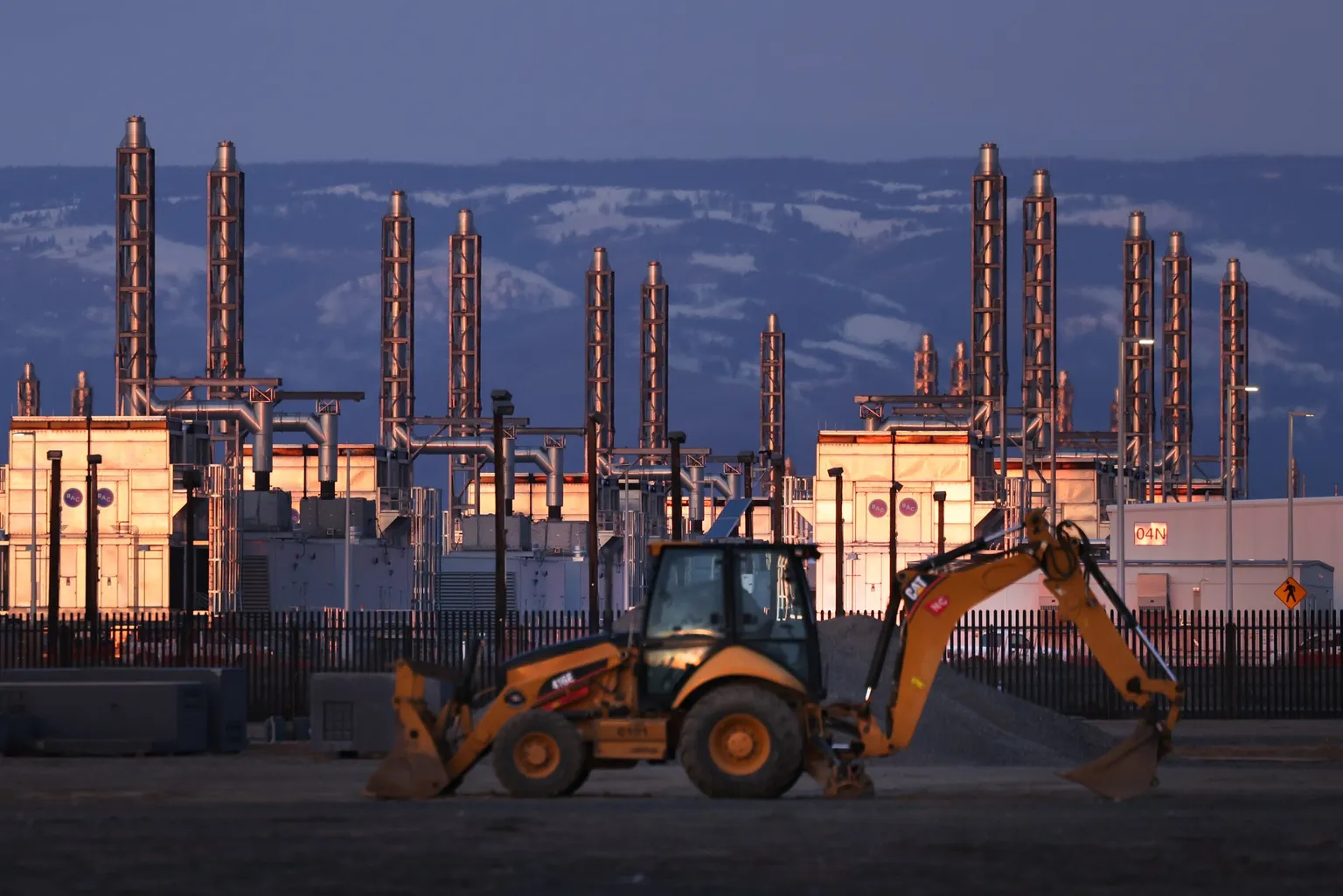 2024-08-01
Industrial facility with construction equipment
A Caterpillar backhoe loader operates in front of a large industrial facility featuring numerous exhaust stacks or vent pipes, illuminated by warm light at dusk. Snow-capped mountains are visible in the background; a building labeled '04N' is visible on the right side of the facility. -
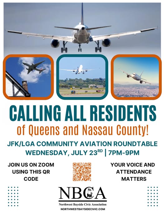 2024-07-23
JFK/LGA Community Aviation Roundtable – July 23rd Meeting
Flyer from the Northwest Bayside Civic Association (NBCA) calling residents of Queens and Nassau County to a JFK/LGA Community Aviation Roundtable on Wednesday, July 23rd, 7–9 PM via Zoom. The flyer includes a QR code for joining and the organization's website, northwestbaysidecivic.com. -
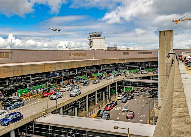 2024-07-15
Airport Terminal and Parking Structure
Aerial view of the Seattle-Tacoma International Airport (Sea-Tac) upper and lower departure roadways, showing vehicle traffic at the terminal curb. Visible signage references Air France and Korean Air check-in areas; the airport air traffic control tower is prominent in the background, and a departing aircraft is visible in the sky above. -
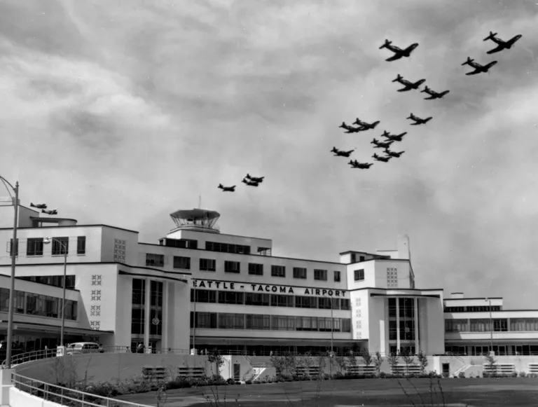 2024-07-15
Seattle-Tacoma Airport Historical Aviation Formation Flight
A formation of military aircraft flies over the newly constructed Seattle-Tacoma Airport terminal building, as seen in this black-and-white photograph. The Art Deco-style terminal with its control tower is clearly identified by the 'Seattle-Tacoma Airport' signage on the facade. -
 2024-06-25
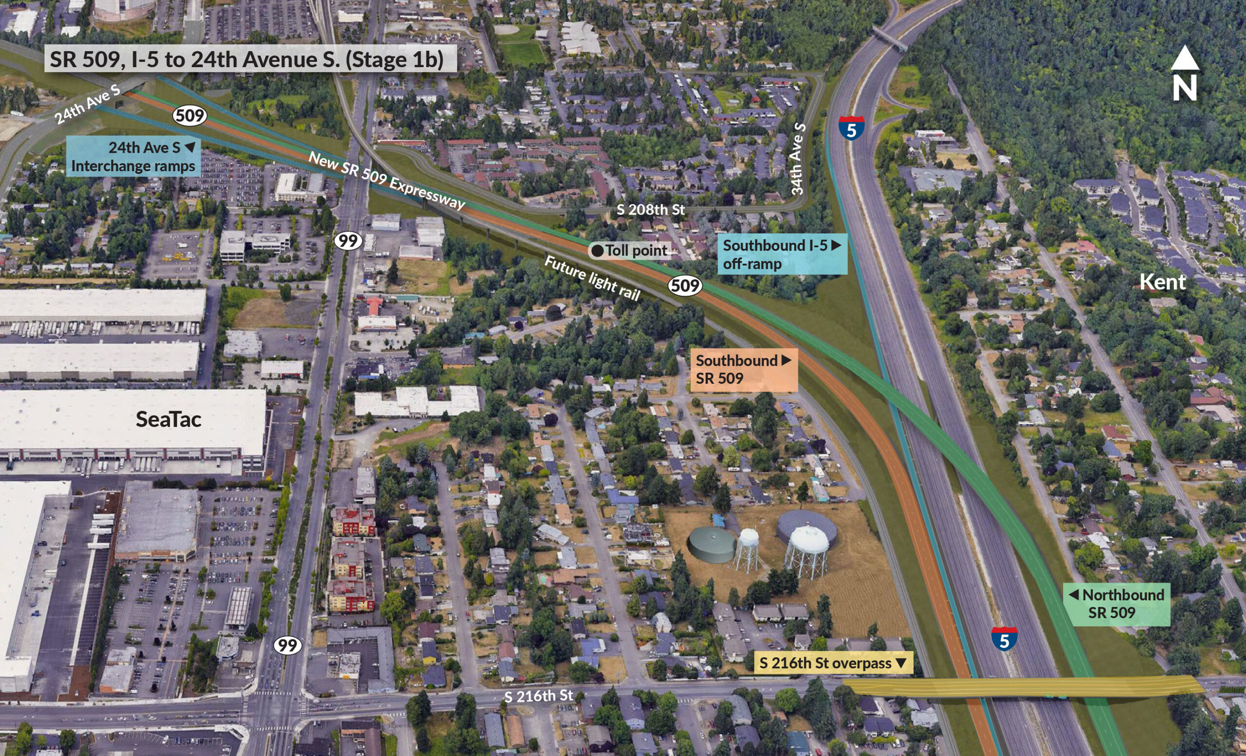
SR 509, I-5 to 24th Avenue S. (Stage 1b)
Aerial rendering showing the planned SR 509 Expressway extension (Stage 1b) connecting I-5 to 24th Avenue S. in the SeaTac/Kent area of Washington State. The image labels key project elements including the new SR 509 Expressway alignment, a toll point near S. 208th St, southbound and northbound SR 509 ramps, a southbound I-5 off-ramp, 24th Ave S. interchange ramps, a future light rail corridor, and the S. 216th St overpass. -
 2024-06-25
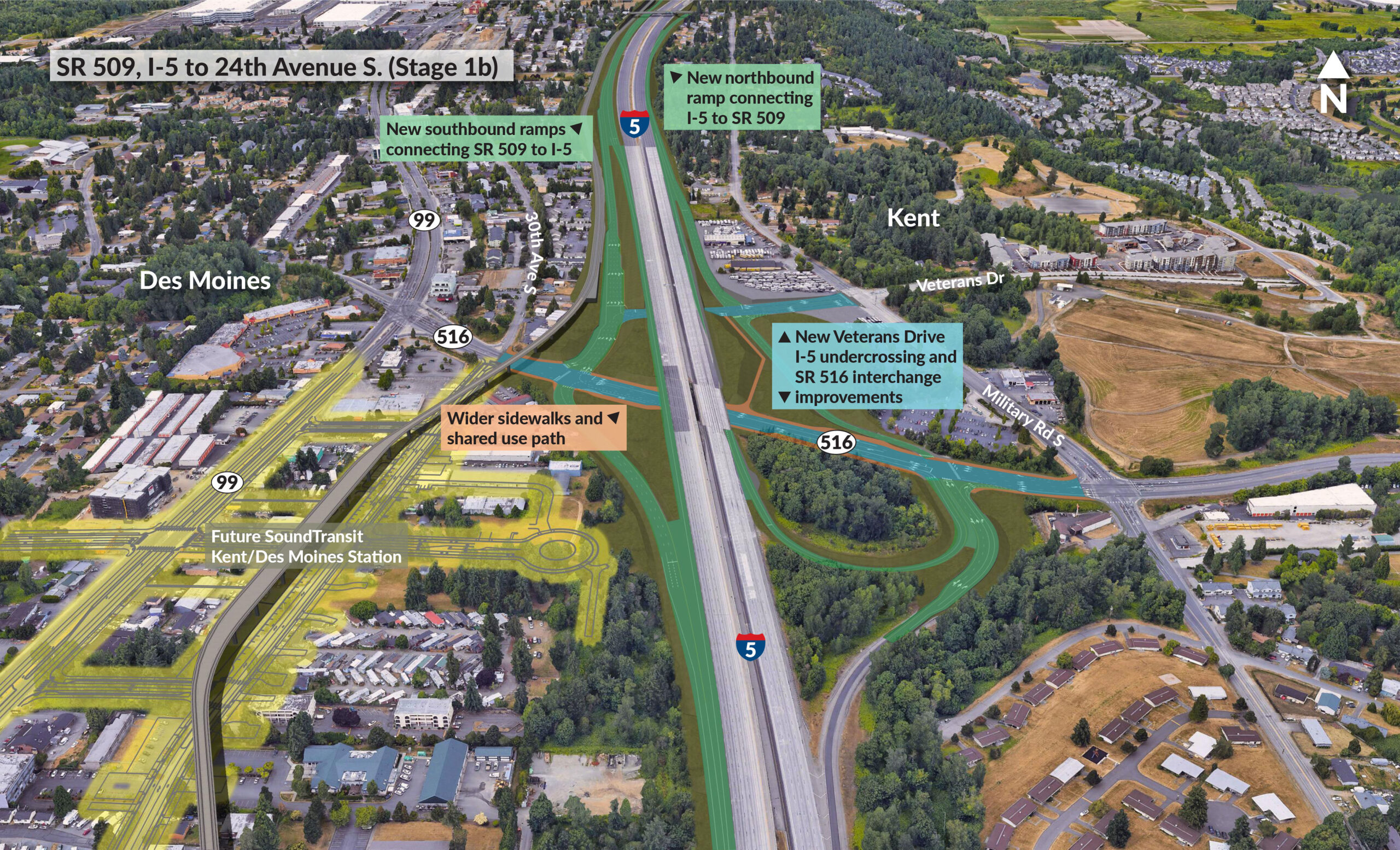
SR 509, I-5 to 24th Avenue S. (Stage 1b)
A planning rendering for SR 509, Stage 1b, showing proposed highway improvements between I-5 and 24th Avenue S. in the Kent/Des Moines area. Labeled features include new northbound and southbound I-5/SR 509 ramp connections, a new Veterans Drive I-5 undercrossing and SR 516 interchange improvements, wider sidewalks and shared use paths, and the future SoundTransit Kent/Des Moines Station along SR 99.