TagMap(401)
-
 1966-10-25
Official Voters Pamphlet, State of Washington, 1966
This is the 1966 Official Voters Pamphlet for the State of Washington, published by Secretary of State A. Ludlow Kramer, covering 14 state measures on the November 8, 1966 general election ballot. The pamphlet includes ballot titles, explanations, and arguments for and against three citizen initiatives, three legislative referendum bills, and eight proposed constitutional amendments. Topics addressed include tax sharing, Sunday blue laws, freight train crew requirements, school facility bonds, and various constitutional changes — but the document contains no content related to Sea-Tac Airport or aircraft noise policy. -
 1966-10-25
Official Voters Pamphlet, State of Washington, 1966
1966 Official Voters Pamphlet for the State of Washington November 8, 1966 general election, published by Secretary of State A. Ludlow Kramer. Contains official ballot titles, full explanations, statements for and against, and complete texts of 14 state measures: Initiatives 226 (cities sharing sales and use taxes), 229 (repealing Sunday Activities Blue Law), and 233 -
Seattle Times 1966 Airport Expansion Becomes Routine (map)
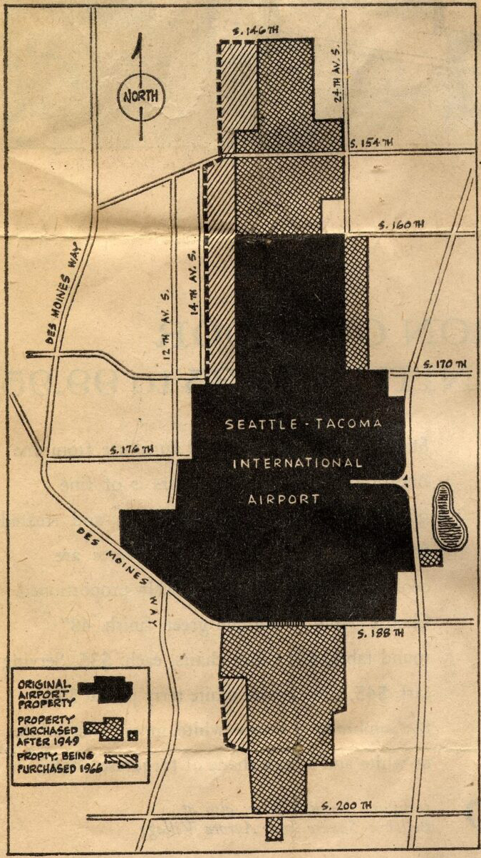
A map showing the land boundaries of Seattle-Tacoma International Airport, distinguishing between original airport property (solid black), property purchased after 1949 (crosshatch pattern), and property being purchased in 1966 (diagonal hatch pattern). The map shows surrounding streets including Des Moines Way, S. 146th through S. 200th Streets, and avenues including 12th, 14th, and 24th Ave S. -
 1966-04-17
Seattle Daily Times 1966-04-17 airport property purchases
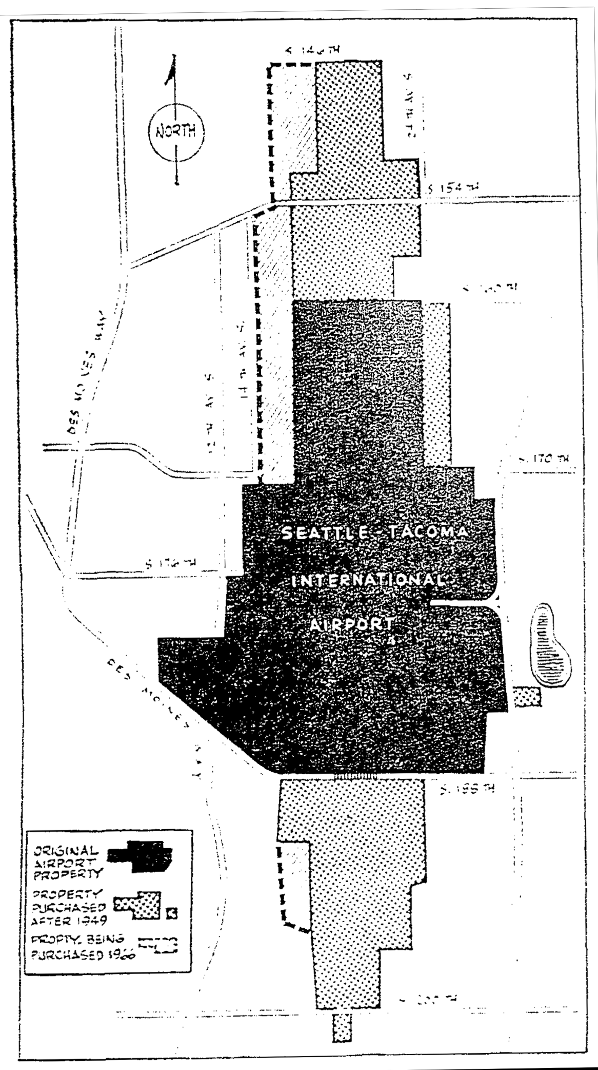
A map showing the land acquisition history of Seattle-Tacoma International Airport, distinguishing between the original airport property, property purchased after 1949, and property being purchased in 1960. The map shows surrounding streets including S. 146th, S. 154th, S. 170th, S. 176th, S. 188th, and S. 200th, as well as Des Moines Way and nearby avenues. -
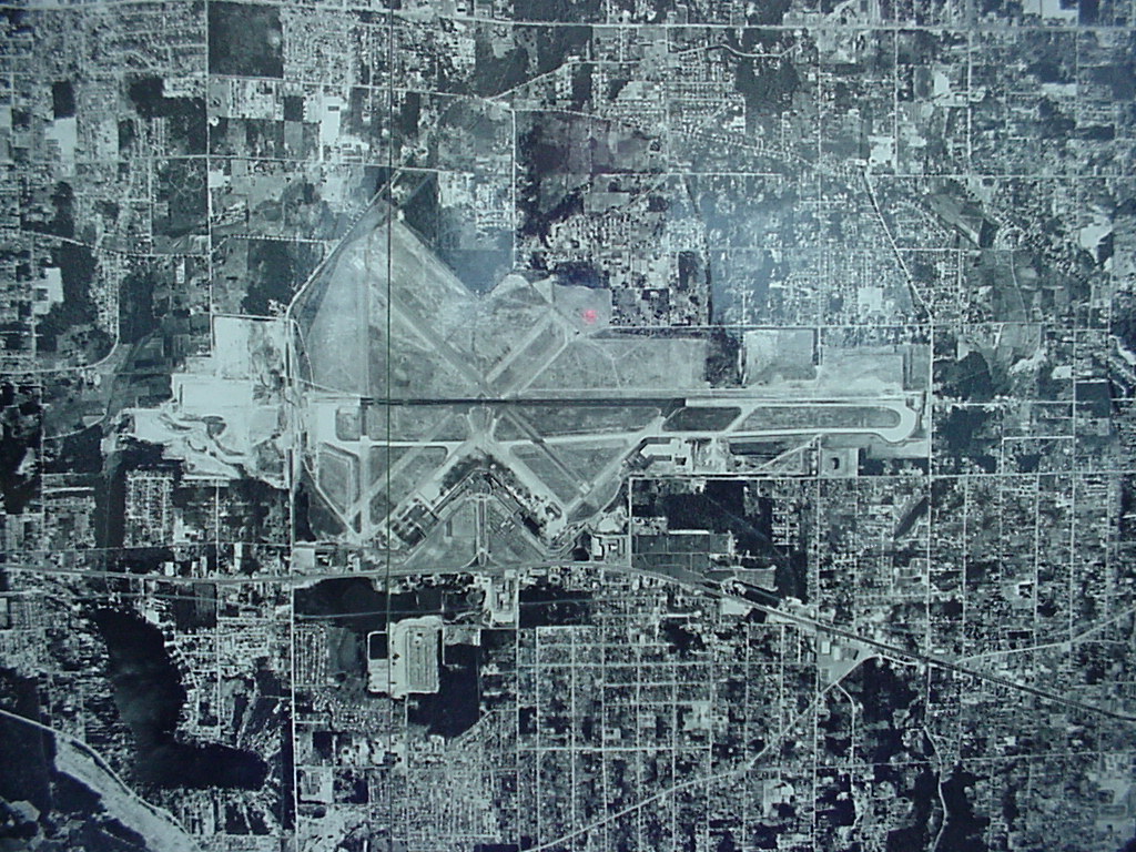 1961-01-01
Aerial Photograph of Airport Runways, 1961
Black-and-white aerial or satellite photograph showing a major airport with multiple runways arranged in an X/parallel configuration, surrounded by a dense urban grid. The image appears to be a planning or reference map with a faint grid overlay, but contains no visible text, labels, or date information to identify the specific airport or time period. -
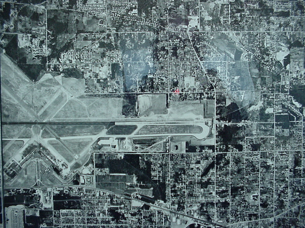 1961-01-01
Sea-Tac Airport Aerial Photograph circa 1961
Black-and-white aerial photograph showing a mid-20th century airport facility with multiple intersecting runways and taxiways, surrounded by a residential and commercial street grid. The image appears to be a planning or survey document, possibly a composite of multiple aerial tiles given visible seam lines. -
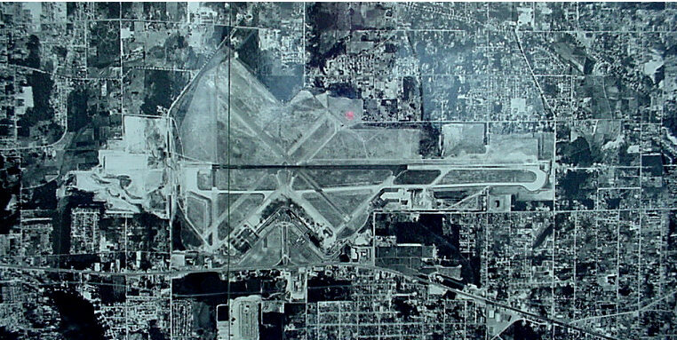 1961-01-01
Sea-Tac Airport Aerial Photograph, 1961
Black-and-white aerial satellite or survey photograph showing a large commercial airport with multiple runways in an X/V configuration, surrounded by dense urban development. No visible text, labels, or watermarks are present to confirm the specific airport identity or date. -
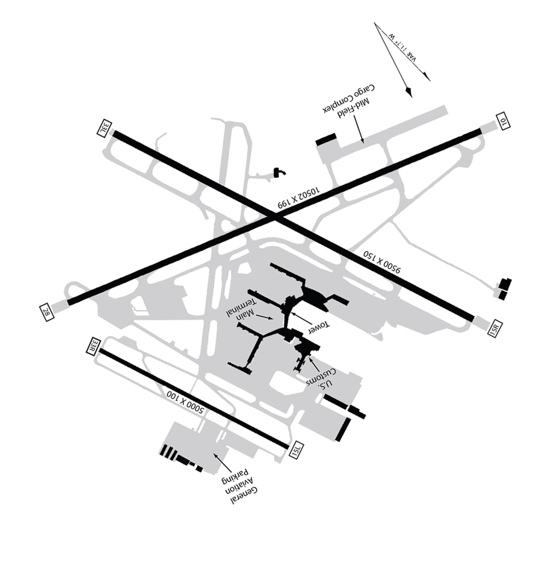 1948-01-01
Seatac Airport Map 1948 rotated
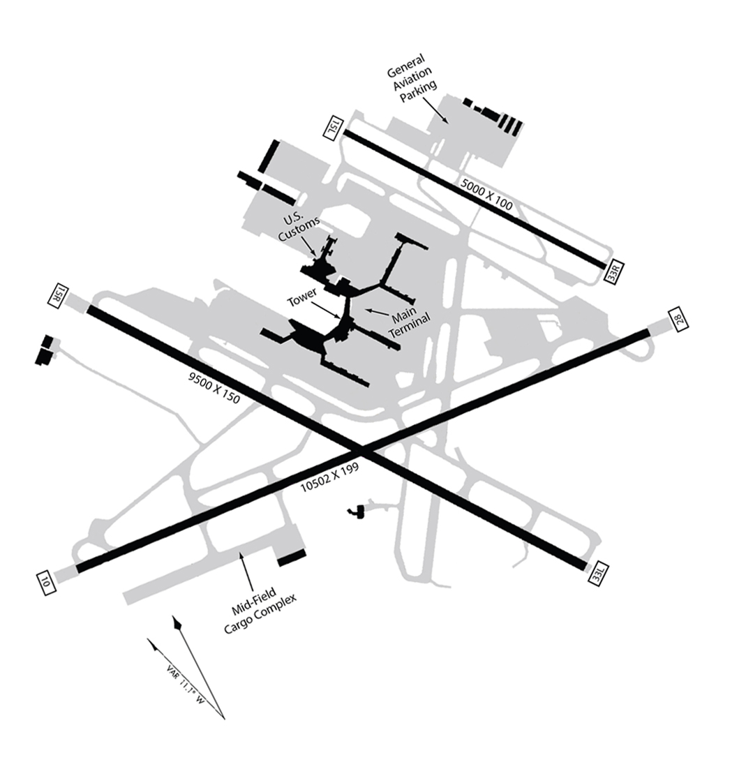
An airport diagram showing multiple runways including dimensions 10502x199 and 9500x150 and 5000x100, with labeled facilities including Main Terminal, Tower, U.S. Customs, Mid-Field Cargo Complex, and General Aviation Parking. Runway end identifiers visible include 33L, 15L, 15R, 28, and 10, suggesting a multi-runway facility, though the specific airport is not explicitly named in visible text. -
 1948-01-01
Sea-Tac Airport Layout Map with Three Runways (1948)
Airport layout diagram of Seattle-Tacoma International Airport showing three runways (9500x150, 10502x199, and 5000x100 ft), with labeled facilities including the Main Terminal, Tower, U.S. Customs, General Aviation Parking, and Mid-Field Cargo Complex. Runway end identifiers visible include 15L, 33R, 33L, 15R, and others, with a magnetic variation note of VAR 11.1° W. -
 1948-01-01
1948 Aerial Photograph of Airport Runways
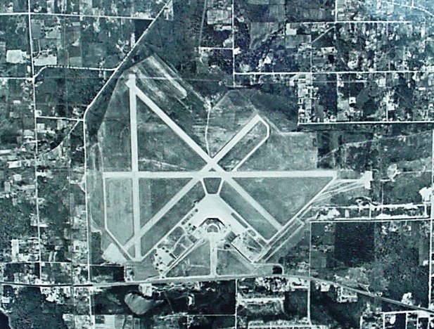
Black-and-white aerial photograph showing a general aviation or regional airport with multiple intersecting runways in an X/triangle configuration, surrounded by a grid of rural and suburban parcels. No visible text, captions, or identifying markings are present in the image.