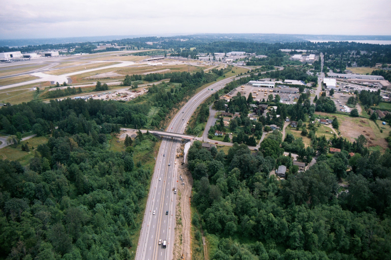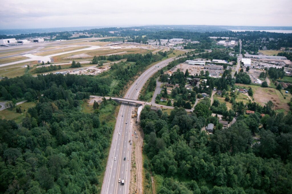
Aerial photograph showing a multi-lane highway (likely SR-509 or I-5) running through a forested corridor alongside Seattle-Tacoma International Airport, visible at upper left with runways and large aircraft hangars. Construction activity and equipment are visible along the highway median and near an overpass, suggesting road expansion or infrastructure work underway.Open full document
Notes
Aerial photograph showing a multi-lane highway (likely SR-509 or I-5) running through a forested corridor alongside Seattle-Tacoma International Airport, visible at upper left with runways and large aircraft hangars. Construction activity and equipment are visible along the highway median and near an overpass, suggesting road expansion or infrastructure work underway.