TagAirport Expansion(165)
-
 2001-06-22
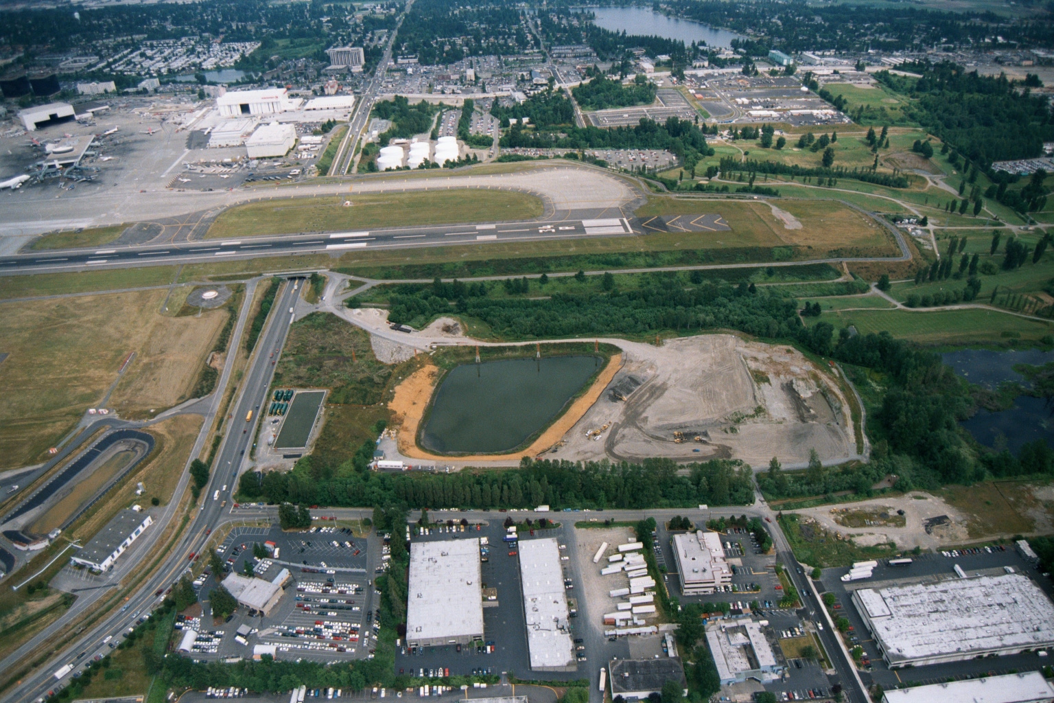
Sea-Tac Airport Aerial View With Adjacent Construction Site and Retention Pond
Aerial photograph showing a runway and taxiway system consistent with Seattle-Tacoma International Airport, with terminal buildings and aircraft visible in the upper left. The foreground shows an active construction or grading site with a retention pond, adjacent to light industrial warehouses and parking lots. -
 2001-06-22
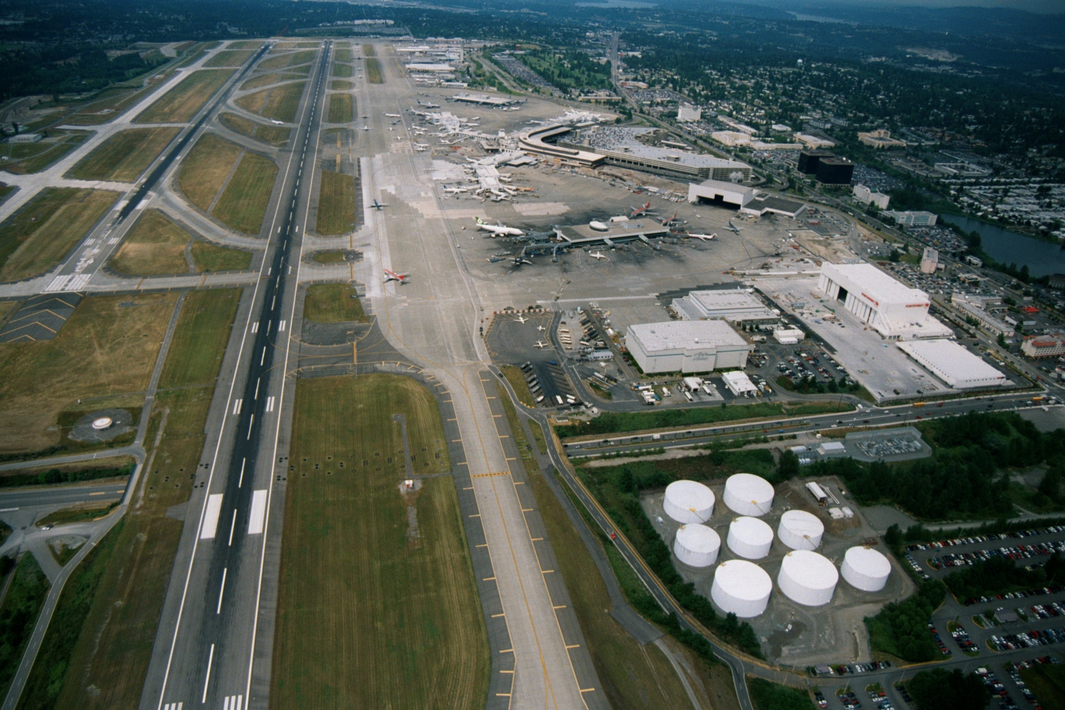
Sea-Tac Airport Aerial Photograph
Aerial photograph showing a large commercial airport with multiple parallel runways, a terminal with aircraft at gates, maintenance hangars, fuel storage tanks, and surrounding urban development. The layout, scale, and regional geography are consistent with Seattle-Tacoma International Airport, though no visible text or signage confirms this identification. -
 2001-06-22
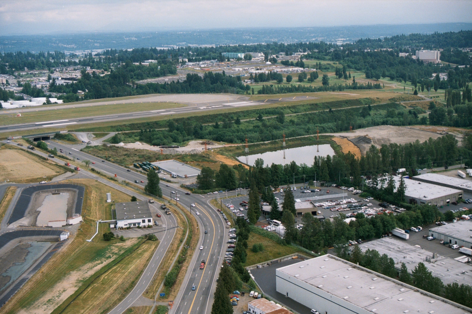
Aerial View of Sea-Tac Airport Runway Strip, Retention Ponds Under Construction, and Adjacent Industrial Facilities
Aerial photograph showing a runway strip, retention ponds under construction, and adjacent industrial/warehouse facilities. A multi-lane road curves through the foreground, with residential and commercial development visible in the background. -
 2001-06-22
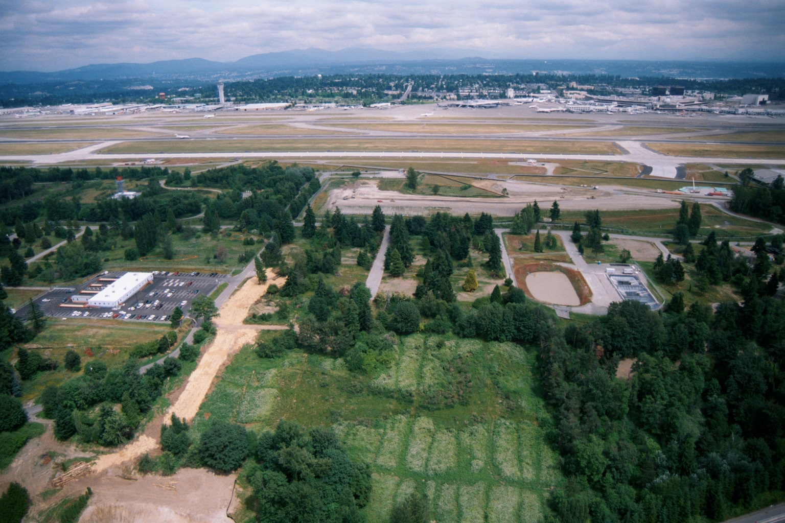
Aerial View Looking North Over Sea-Tac Airport Runway System and Adjacent Land
An aerial photograph looking northward over Sea-Tac Airport, showing the airport's runway system, taxiways, control tower, and terminal area in the background. The foreground shows undeveloped and partially developed land adjacent to the airport, including a small commercial or administrative building with a parking lot, cleared gravel paths, and vegetated buffers, consistent with airport noise-mitigation or land-use planning activities. -
 2001-06-22
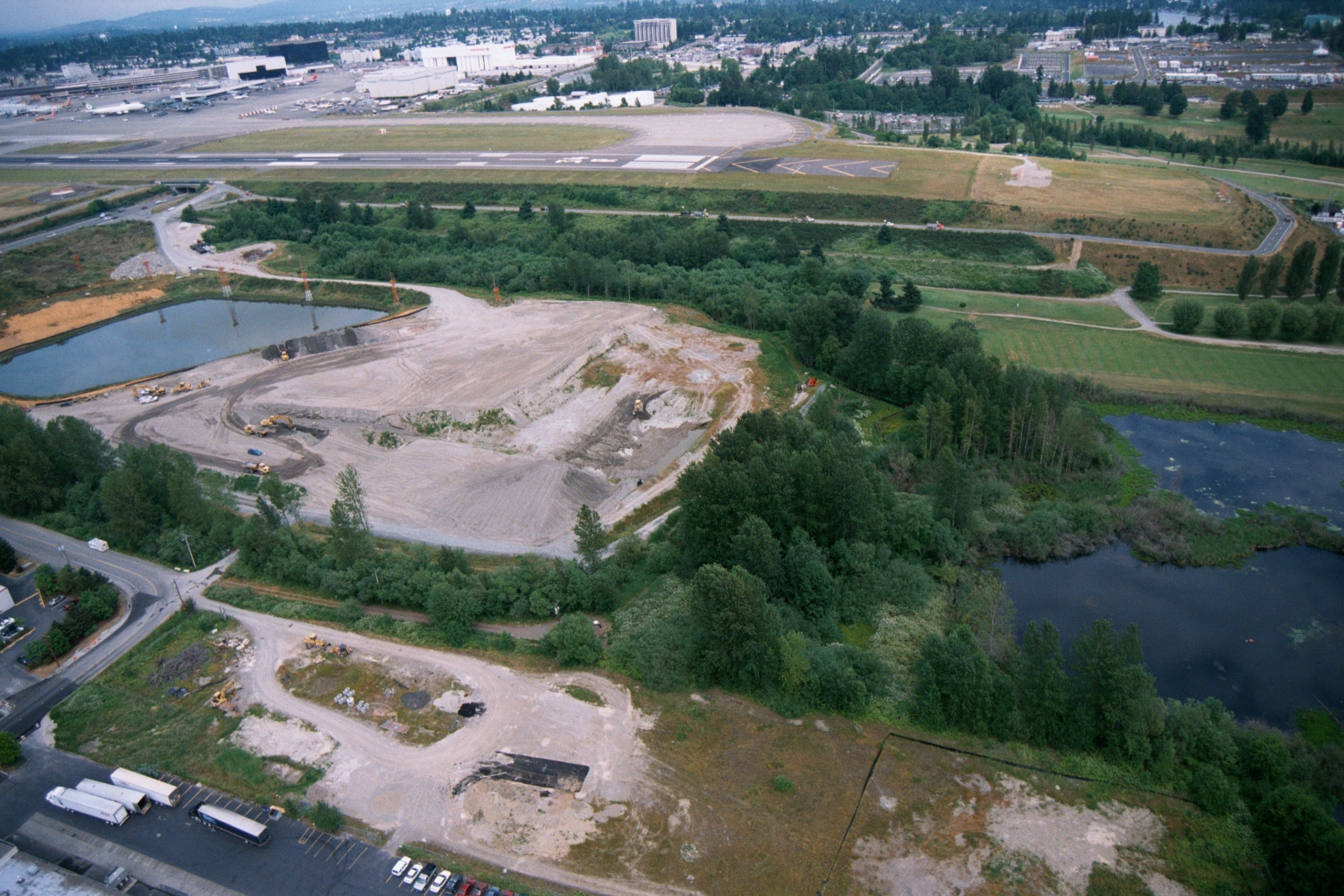
Aerial View of Grading and Earthwork Construction Site Near Sea-Tac Airport
Aerial photograph showing an active grading and earthwork construction site near what appears to be Seattle-Tacoma International Airport, identifiable by the runway infrastructure and terminal buildings visible in the background. The foreground shows heavy equipment, retention ponds, cleared land, and nearby wetlands or river habitat, consistent with airport-adjacent development or mitigation work. -
 2001-06-22
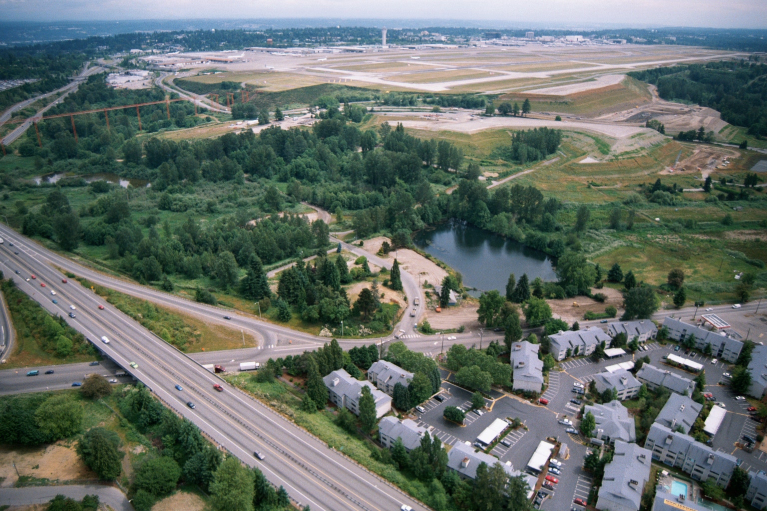
Aerial View of Sea-Tac Airport Expansion, Highway, and Adjacent Residential Development
Aerial photograph showing a large airport with runways under construction or expansion in the background, a multi-lane highway running diagonally through the frame, a small pond surrounded by green space, and a residential apartment complex in the foreground. The proximity of the residential development, green buffer zone, and airport infrastructure suggests this image relates to land use and noise-impact planning near a major airport, consistent with Sea-Tac Airport environs. -
 2001-06-22
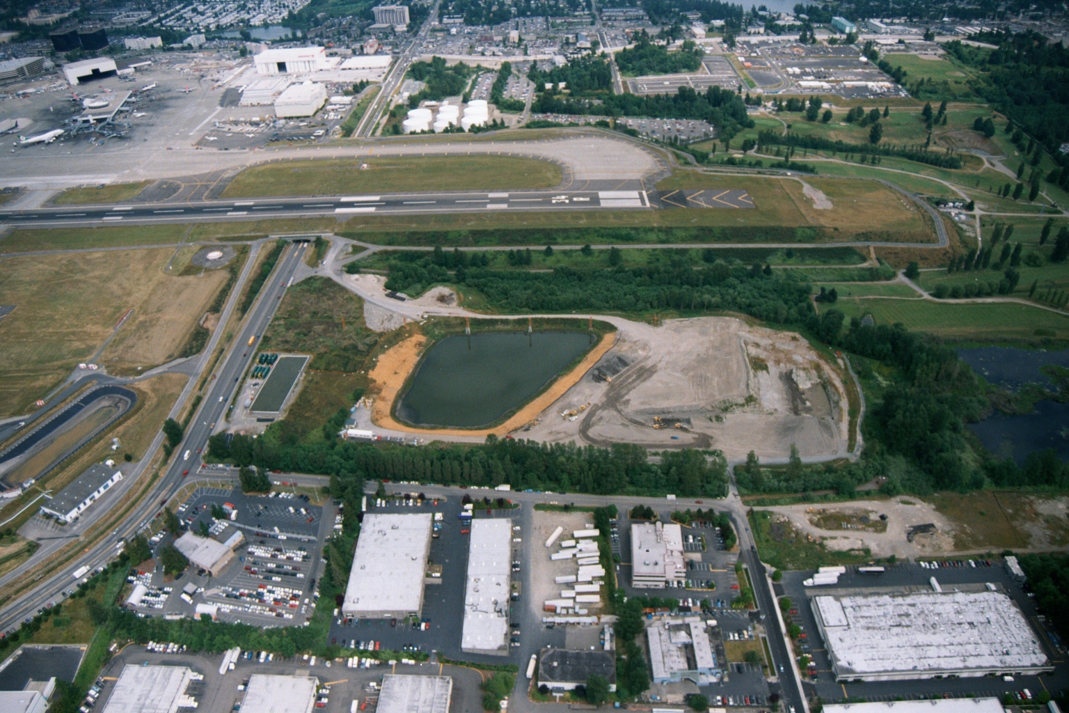
Sea-Tac Airport Runways with Retention Pond Under Construction and Adjacent Warehouse Buildings
Aerial photograph showing Sea-Tac Airport runways and taxiways in the upper portion of the frame, with a retention/detention pond under construction in the middle ground and commercial/industrial warehouse buildings in the foreground. The image appears to document airport-adjacent land use and stormwater infrastructure, likely relevant to airport expansion or environmental compliance activities. -
 2001-06-22
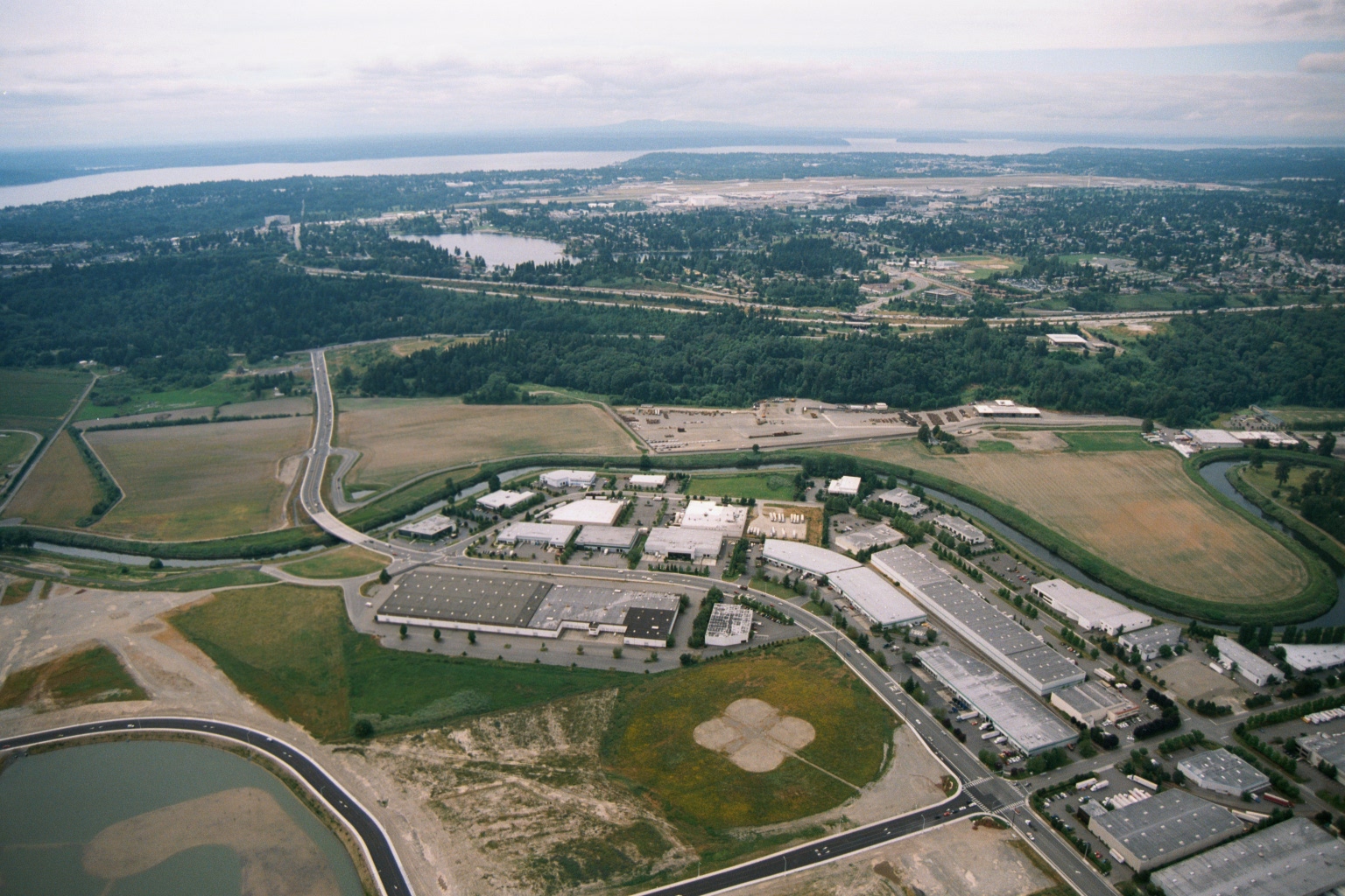
Aerial View of Industrial Development Near Sea-Tac Airport and Puget Sound
Aerial photograph showing a developing industrial or business park complex with warehouse-style buildings, surrounded by open fields and wetland buffers. In the background, a large airport facility consistent with Seattle-Tacoma International Airport is visible, along with Puget Sound and surrounding suburban development. -
 2001-06-22
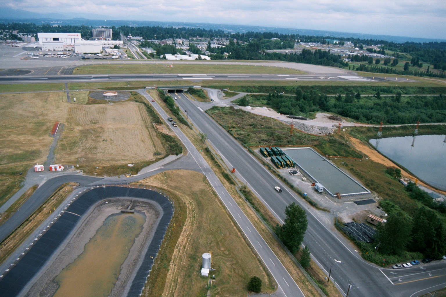
Aerial View of Road Tunnel Beneath Sea-Tac Airport Runway With Boeing Facility in Background
Aerial photograph showing a multi-lane road passing through a tunnel beneath an airport runway, with what appears to be a large aircraft manufacturing or maintenance facility visible in the upper left background bearing a partially visible logo consistent with Boeing. Construction activity, retention ponds, and utility infrastructure are visible in the surrounding undeveloped land. -
 2001-06-22
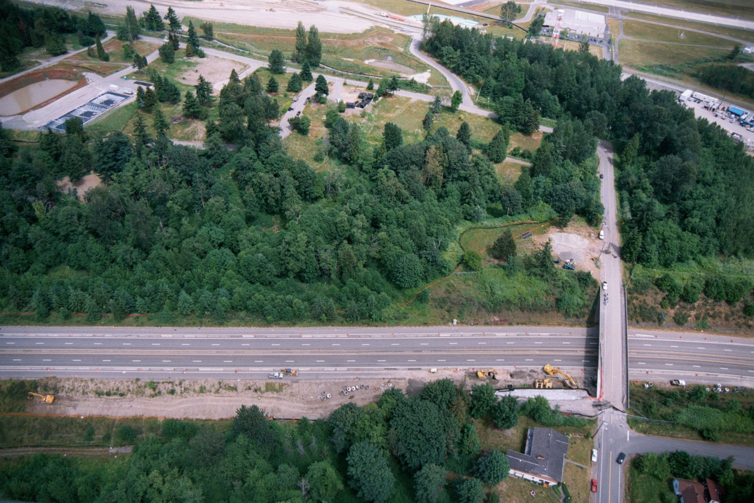
Aerial View of Highway Interchange Construction Near Airport Infrastructure
Aerial photograph showing a multi-lane divided highway with an overpass/interchange under active construction, with heavy equipment visible along the roadway. A large forested parcel and what appears to be airport-related infrastructure, including what may be a retention or treatment pond, are visible in the upper portion of the image.