TagAirport Expansion(165)
-
 2001-06-22
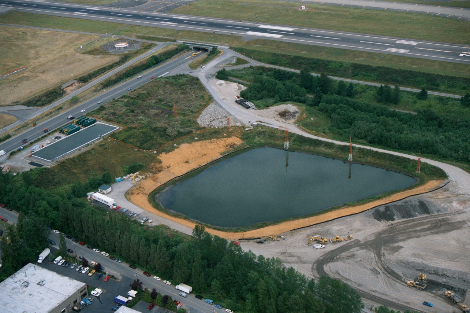
Aerial View of Retention Pond Construction at Sea-Tac Airport
Aerial photograph showing a large retention or detention pond under active construction adjacent to what appears to be an airport runway and taxiway. Heavy equipment, graded earth, and what appear to be water treatment or stormwater management facilities are visible, consistent with airport infrastructure development or environmental mitigation work. -
 2001-06-22
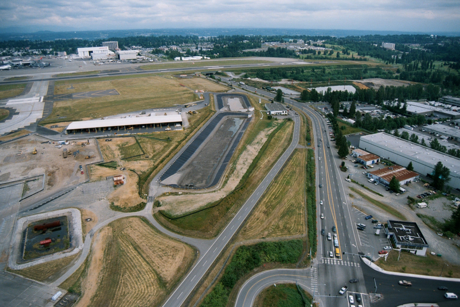
Aerial View of Sea-Tac Airport Southern Edge Showing Construction and Cargo Facilities
Aerial photograph showing the southern or eastern edge of Seattle-Tacoma International Airport, with active construction, a cargo or maintenance facility, a retention/detention pond, and a multi-lane arterial road bordering the airport property. Large aircraft hangars and runways are visible in the background, consistent with Sea-Tac Airport's layout. -
 2001-06-22
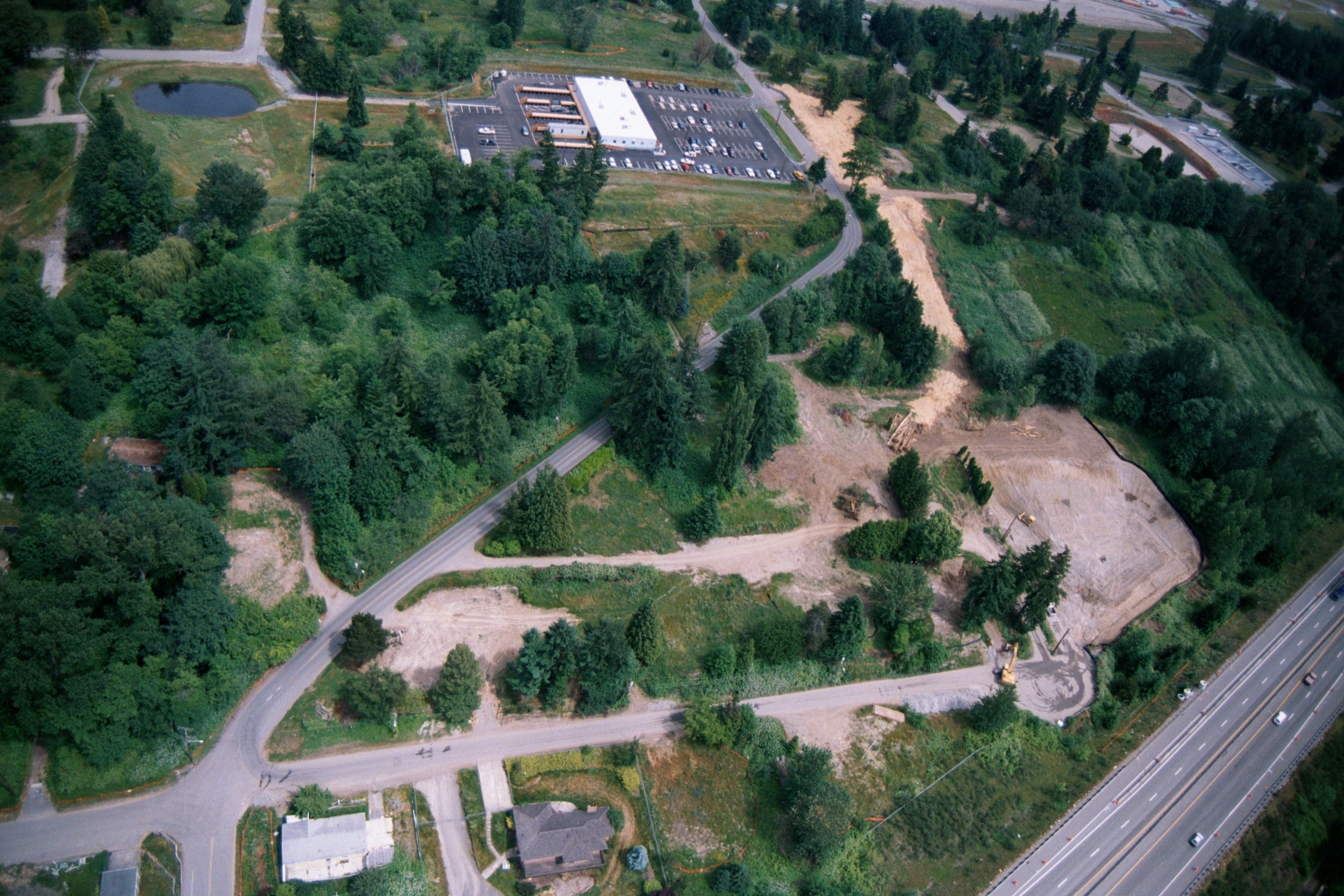
Aerial View of Land Clearing and Grading Operations Near Highway
Aerial photograph showing active land clearing and grading operations adjacent to a multi-lane highway (visible at right), with a commercial building and parking lot visible in the upper center. The site shows exposed soil, construction equipment, dirt access roads, and surrounding forested areas consistent with pre-development site preparation, potentially related to airport noise buffer land acquisition or compatible land use development. -
 2001-06-22
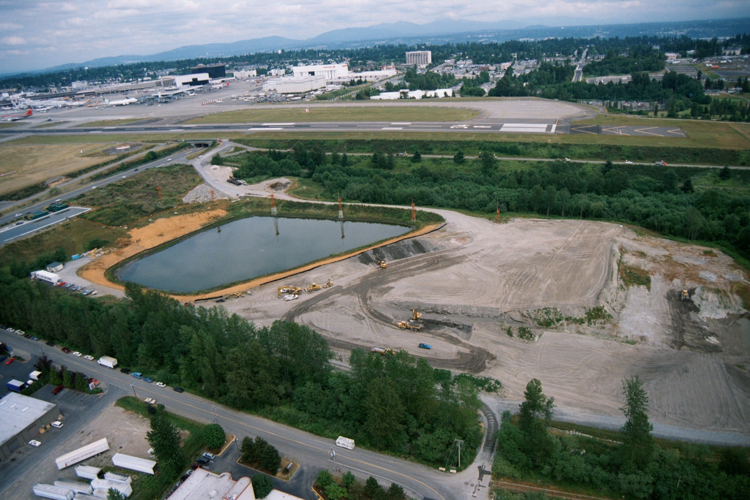
Aerial View of Grading, Earthwork, and Retention Pond South of Sea-Tac Airport Runway
Aerial photograph showing active grading and earthwork operations with a newly constructed retention/detention pond in the foreground, situated immediately south of a Sea-Tac Airport runway. Heavy equipment is visible on the graded site, with the airport terminal complex and taxiways visible in the background. -
 2001-06-22
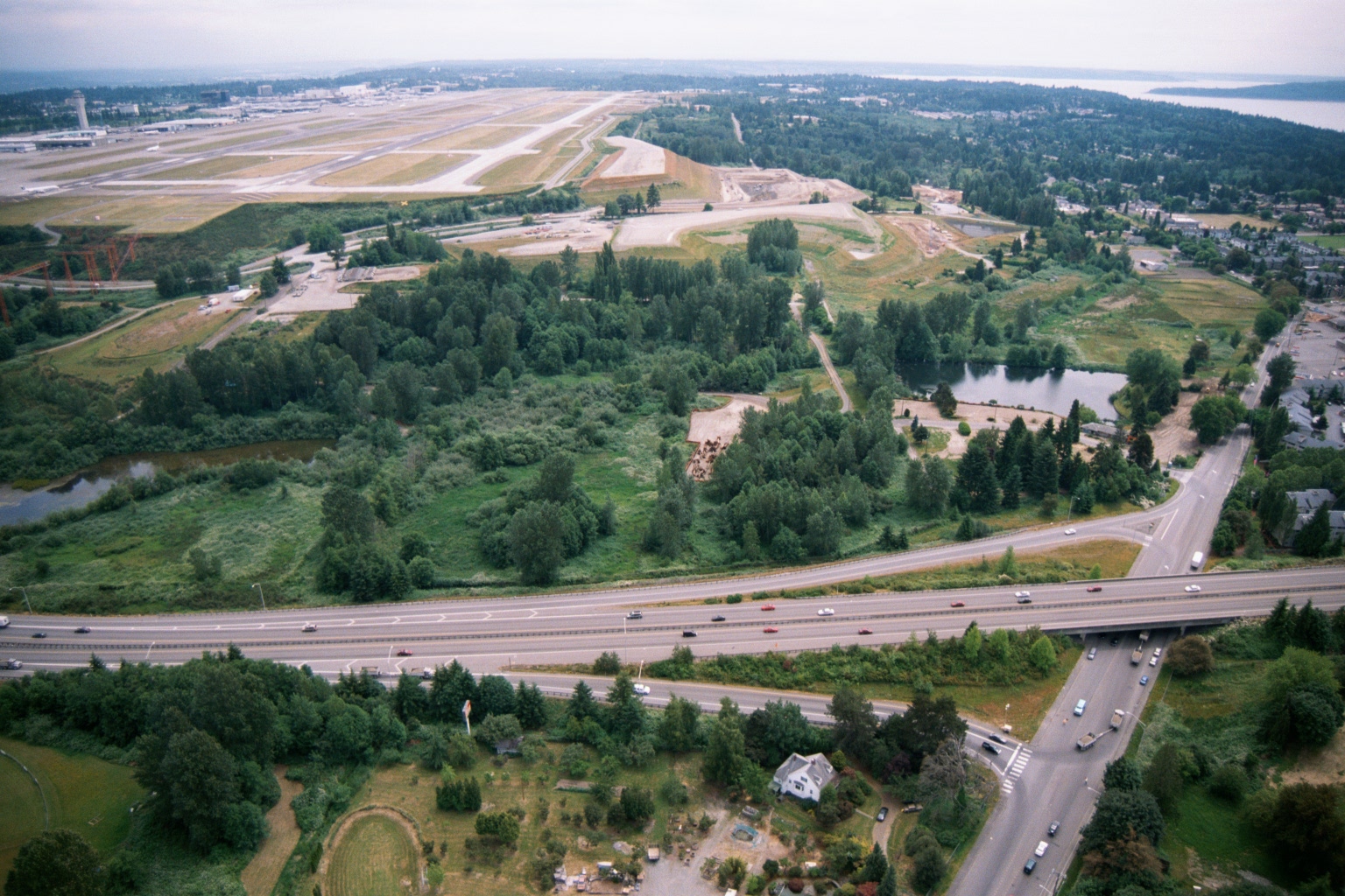
Aerial View of Sea-Tac Airport Runways, Terminal, and Surrounding Environs
Aerial photograph showing Seattle-Tacoma International Airport runways and terminal in the upper left, with a highway interchange (likely SR-509 or I-5 corridor) in the foreground and Puget Sound visible in the upper right. The image appears to document the airport's environs, including undeveloped green buffer areas and adjacent residential neighborhoods relevant to noise impact studies. -
 2001-06-22
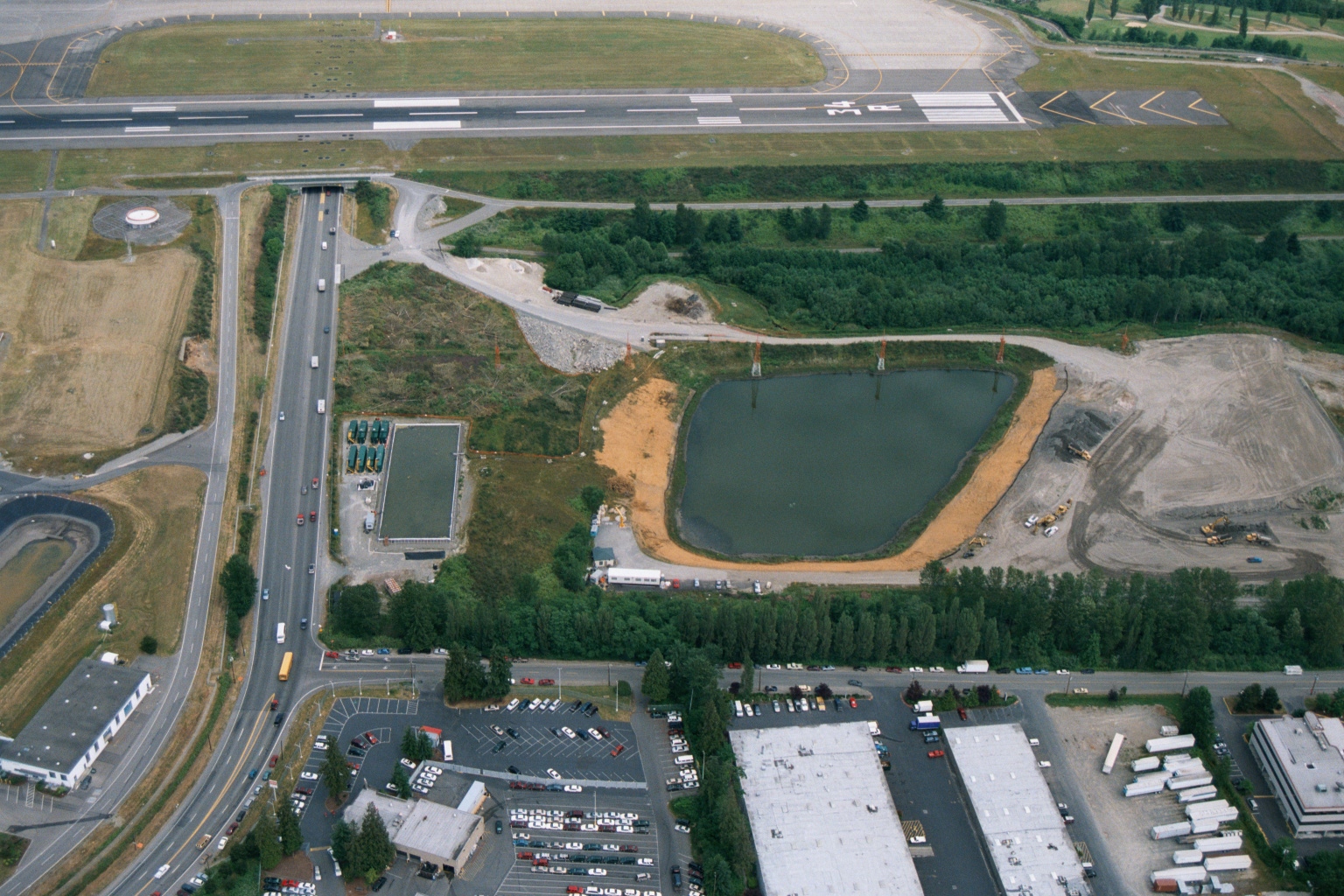
Aerial View of Retention Pond Construction Adjacent to Sea-Tac Airport Runway
Aerial photograph showing a large retention/sedimentation pond under construction adjacent to an airport runway and taxiway, with active earthmoving equipment visible. A major road intersection, commercial warehouses, and parking areas are visible in the foreground, consistent with the industrial corridor south of a major commercial airport. -
 2001-06-22
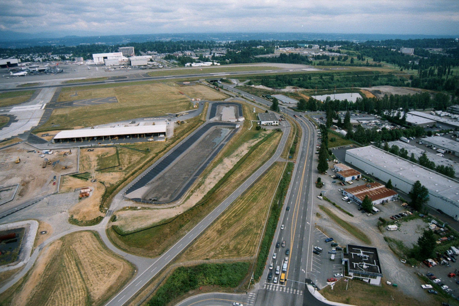
Aerial View of Sea-Tac Airport Construction and East Airfield Development
Aerial photograph looking north over Sea-Tac Airport showing active construction, including what appears to be a new terminal or cargo facility under development on the airfield's east side, a retention pond, and the main runway complex. The Boeing facility and hangars are visible in the upper left, consistent with the airport's proximity to Boeing Field/King County International Airport area. -
 2001-06-22
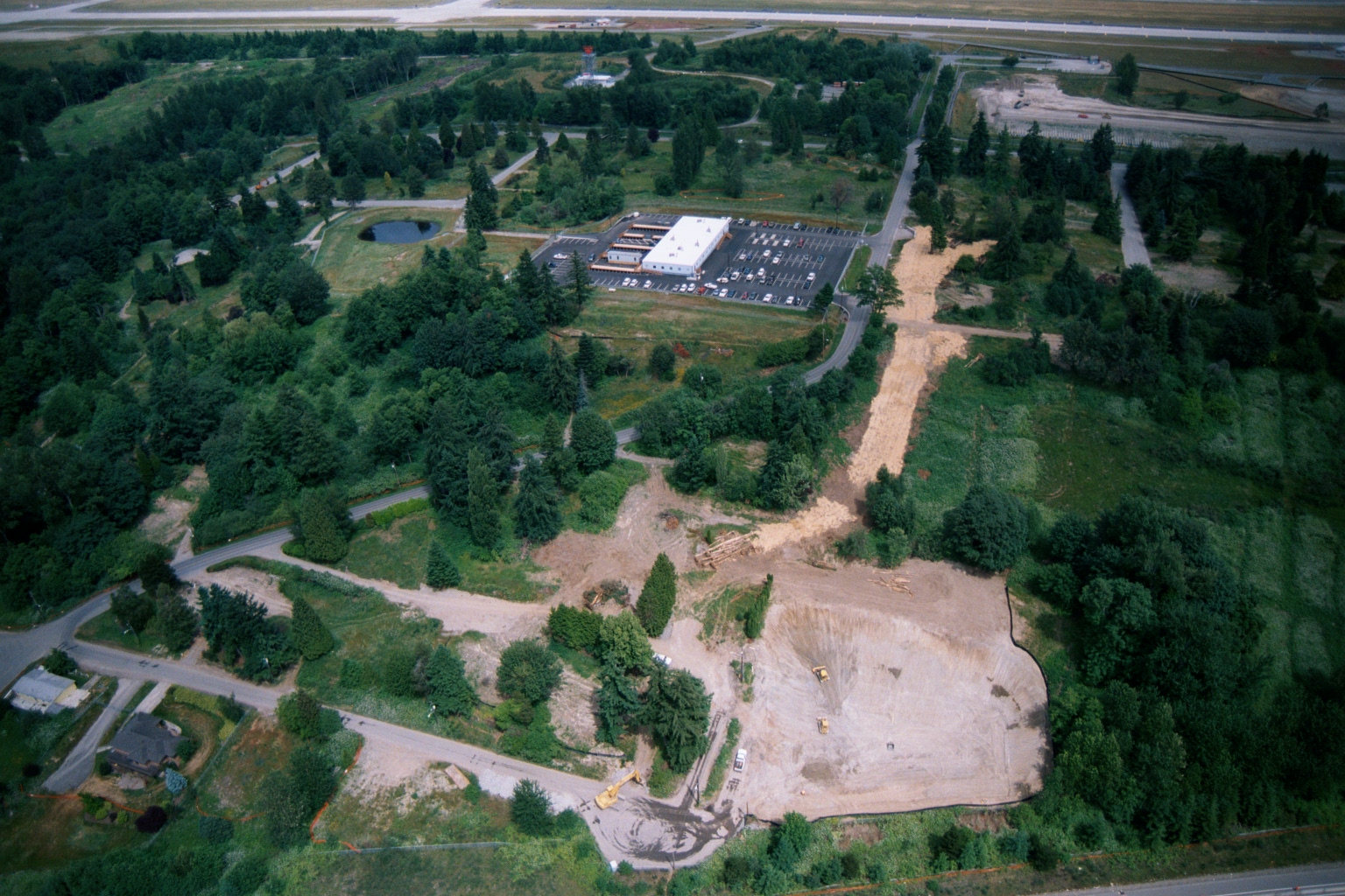
Aerial View of Ground Clearing and Grading Operations Near Sea-Tac Airport
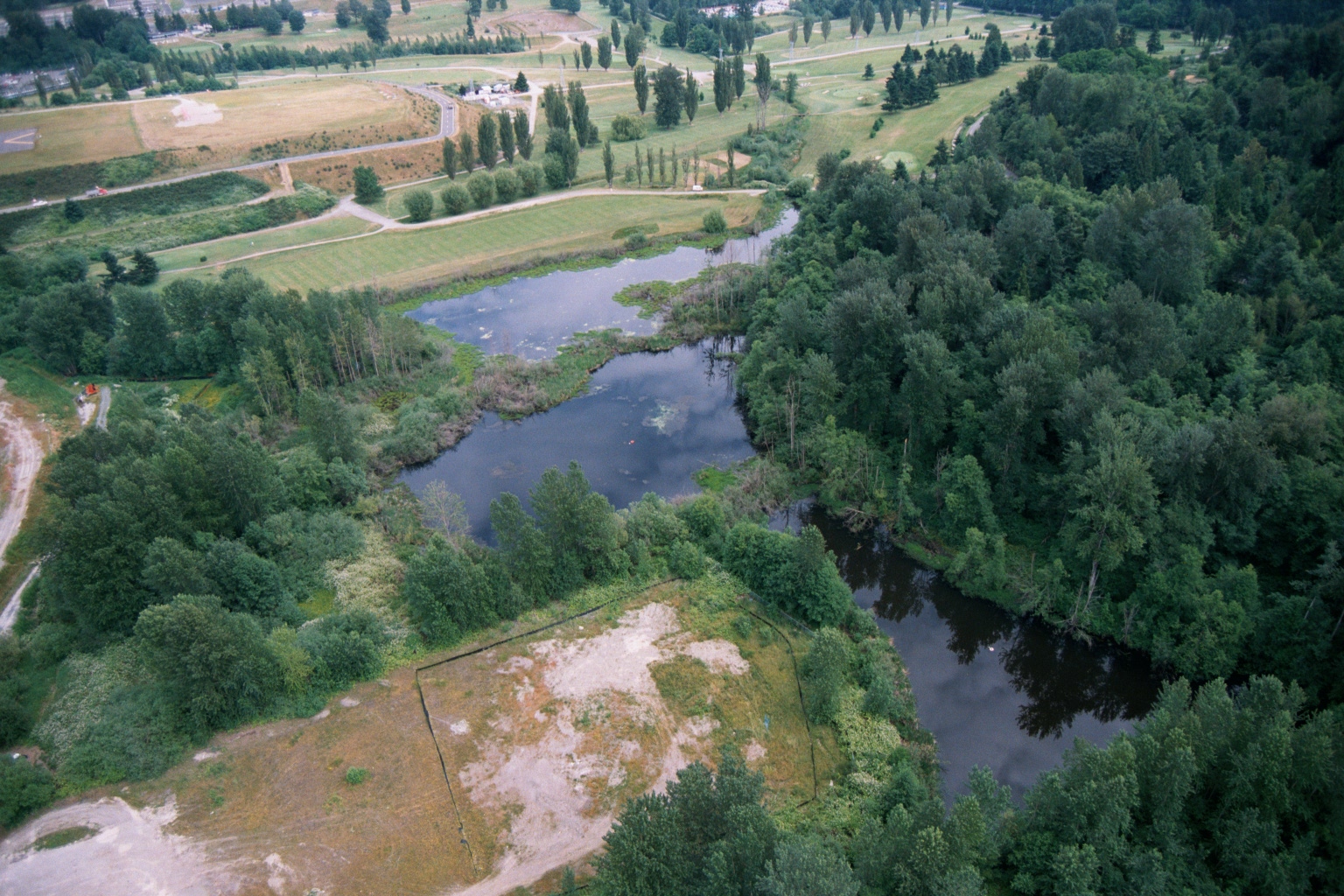
Aerial photograph showing active ground clearing and grading operations on a large parcel of land near what appears to be Sea-Tac Airport, visible in the upper background. Construction equipment and disturbed earth are visible alongside existing commercial development with a parking lot, surrounded by dense Pacific Northwest vegetation and residential streets. -
-
 2001-06-22
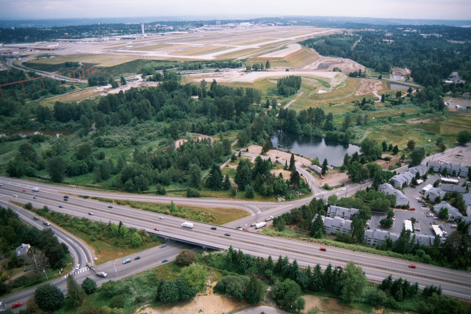
Aerial View of Sea-Tac Airport Runways with Adjacent Residential Development and Highway Interchange
Aerial photograph showing Sea-Tac Airport runways and taxiways in the background, with a forested noise buffer area, a retention pond, and a multi-lane highway interchange in the foreground. Residential apartment buildings are visible to the right, illustrating the proximity of the airport to surrounding communities relevant to noise-policy planning.