TagAirport Expansion(165)
-
 2001-06-22
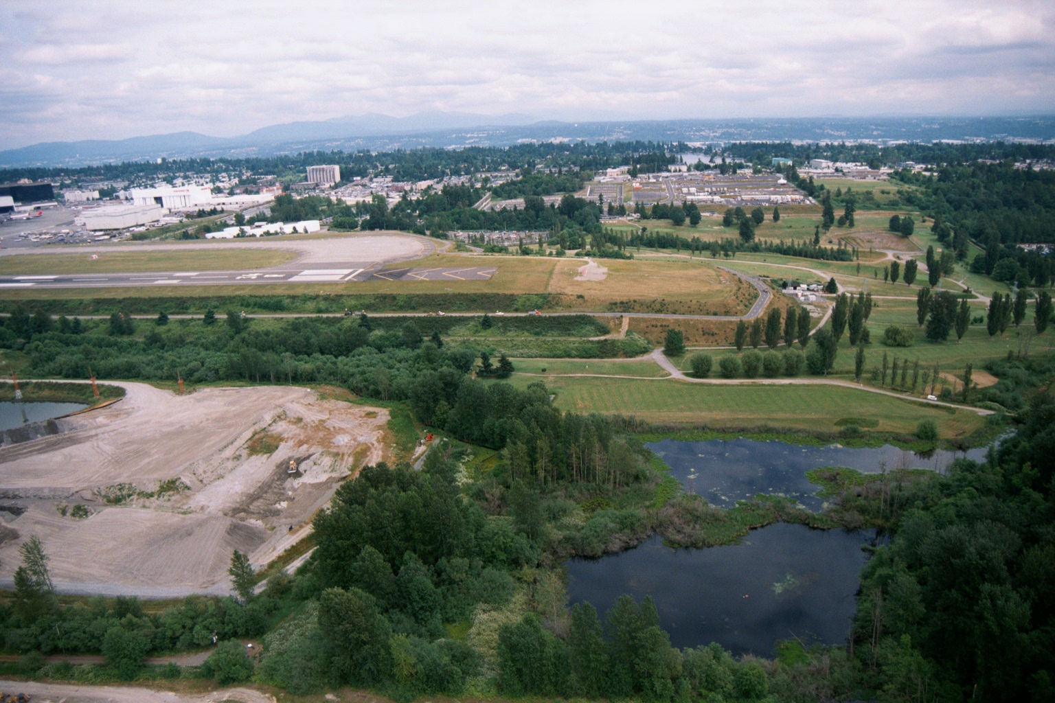
Aerial View of Sea-Tac Airport Runway, Construction Site, and Wetland Pond
Aerial photograph showing an airport runway and apron area in the upper left, with a large active grading/construction site in the lower left and a wetland pond in the lower right. The surrounding landscape includes green parkland, tree lines, and suburban development in the background, consistent with the Sea-Tac Airport vicinity in the Pacific Northwest. -
 2001-06-22
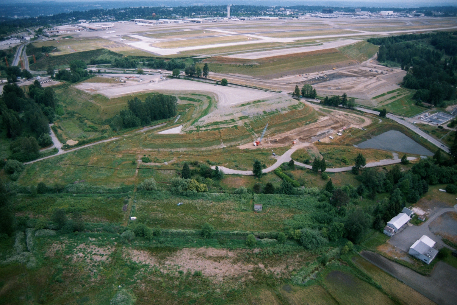
Aerial View of Construction and Grading Work Adjacent to Sea-Tac Airport Runways
Aerial photograph showing active grading and construction work adjacent to Seattle-Tacoma International Airport runways, with a crane visible at a construction site in the foreground. The image shows the airport's runway system in the background alongside undeveloped green space, wetlands, and scattered structures to the south or west of the airfield. -
 2001-06-22
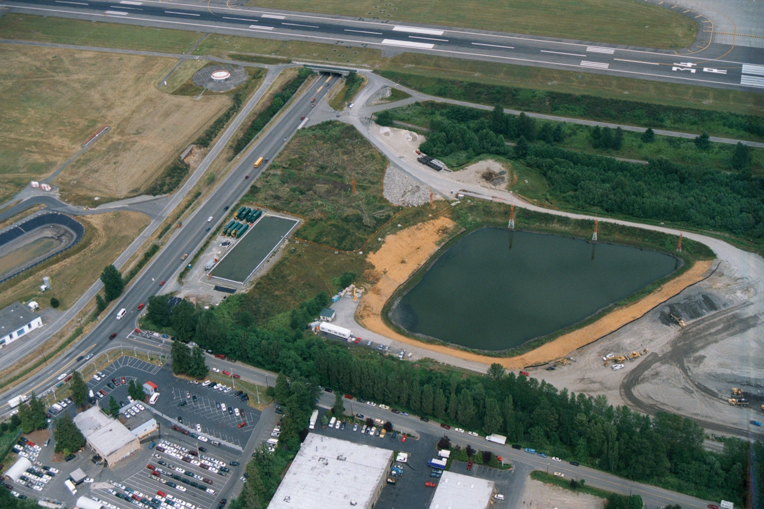
Aerial View of Construction and Retention Pond Adjacent to Sea-Tac Airport Runway
Aerial photograph showing an active construction site adjacent to what appears to be an airport runway (visible at top with threshold markings and taxiway signage). The site features a large retention/detention pond under construction, a roadway with active traffic, and commercial development in the foreground, consistent with infrastructure work near Sea-Tac Airport. -
 2001-06-22
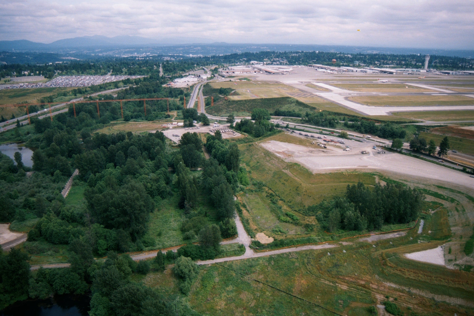
Sea-Tac Airport Aerial View Looking North Showing Runway Complex, Terminal, and Highway Interchange
Aerial photograph looking north/northeast showing Seattle-Tacoma International Airport's runway complex and terminal area in the upper right, with undeveloped green space, wetlands, and a major highway interchange visible in the foreground. Construction activity and a large parking lot are visible in the mid-ground, suggesting this may date from an airport expansion period. -
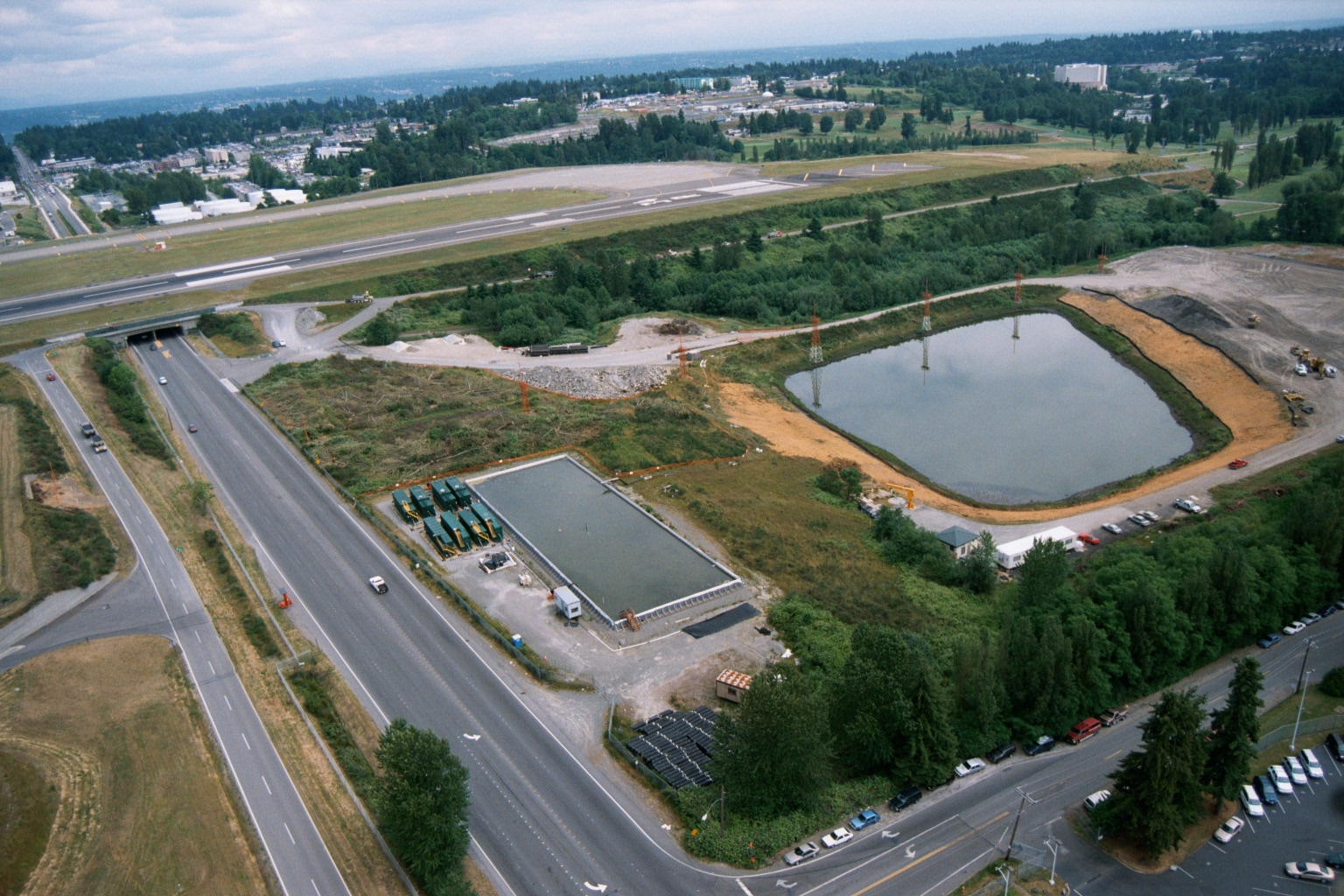 2001-06-22
Aerial View of Construction Site With Retention Ponds and Highway Tunnel Portal Near Sea-Tac Airport Runway
Aerial photograph showing a construction or industrial site featuring retention/settling ponds, equipment staging areas, and what appears to be a water treatment or filtration facility alongside a multi-lane highway with a tunnel portal. An airport runway is visible in the background, consistent with the Sea-Tac Airport vicinity. -
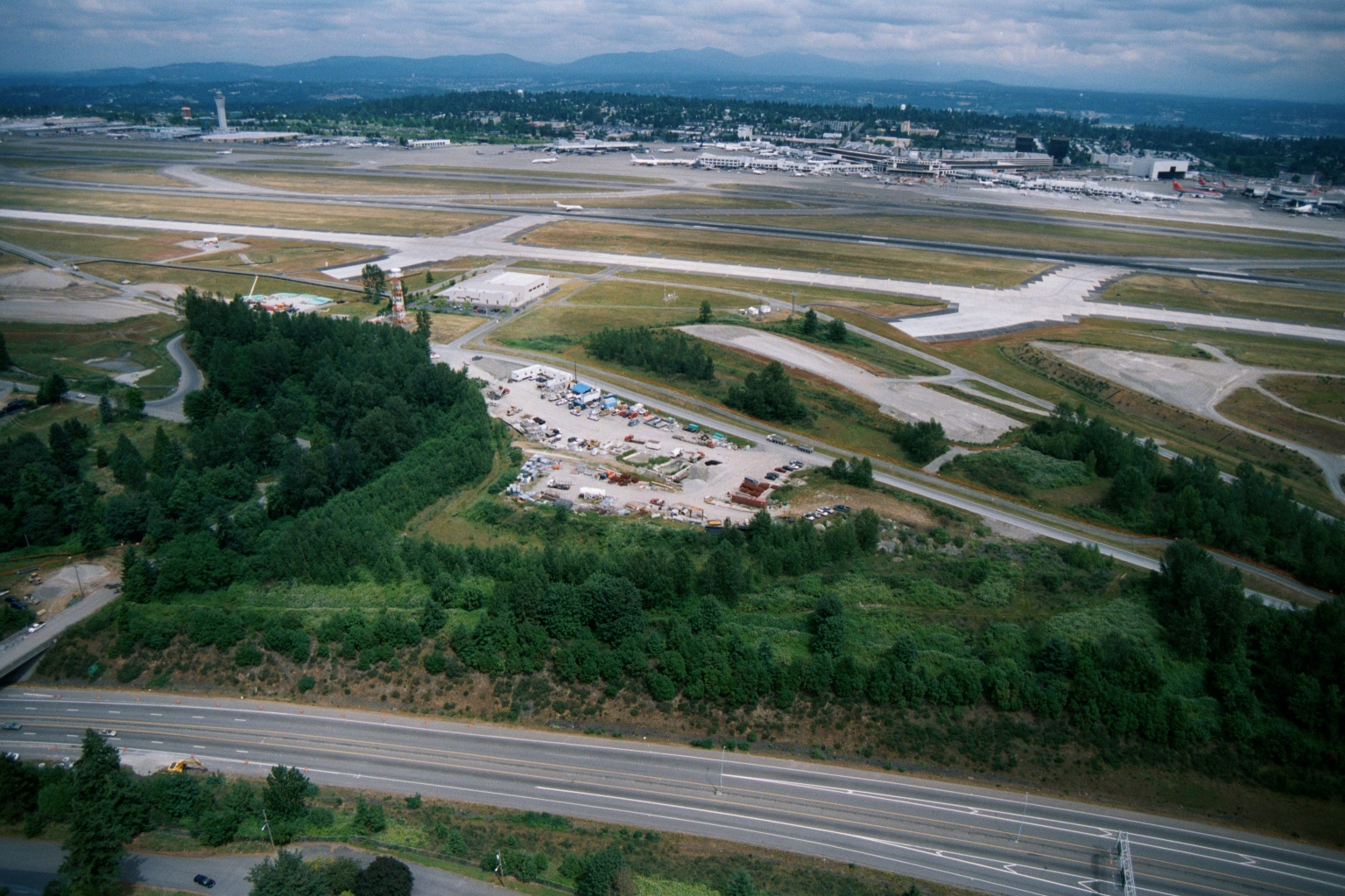 2001-06-22
Sea-Tac Airport Aerial View Showing Runways, Taxiways, and Terminal Area
Aerial photograph showing Seattle-Tacoma International Airport's runway complex, taxiways, and terminal area in the background, with a highway (likely SR-99 or I-5) and a wooded buffer zone with a construction/staging yard visible in the foreground. A red-and-white striped navigation tower is visible near the tree line adjacent to the airfield. -
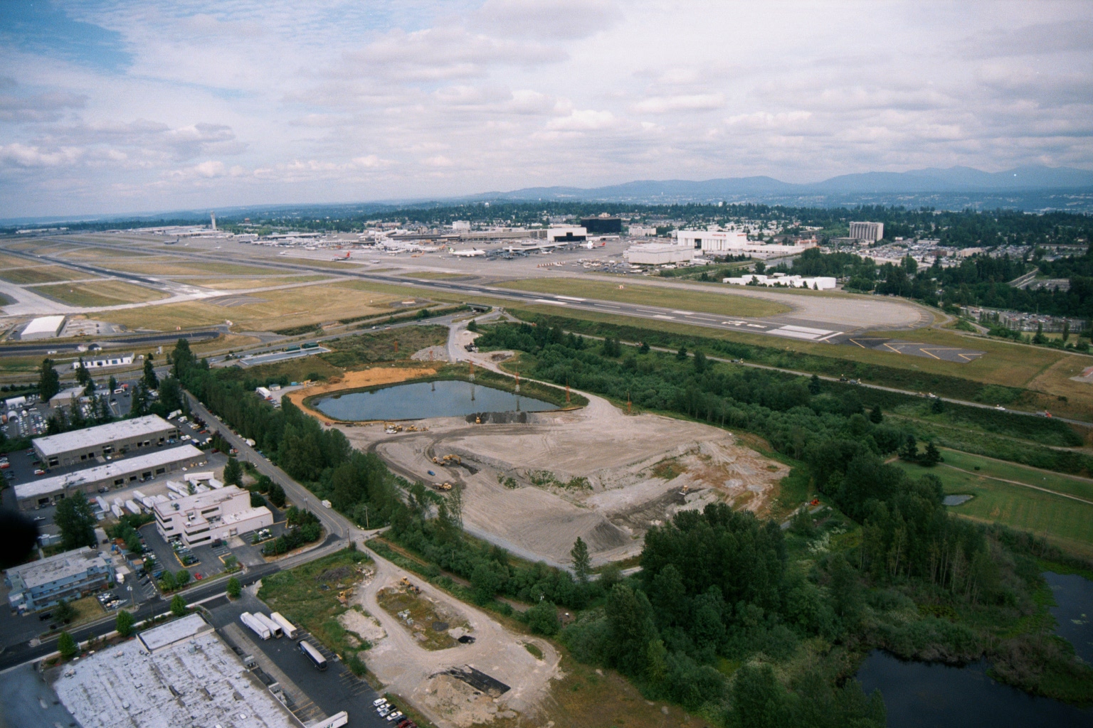 2001-06-22
Aerial View of Sea-Tac Airport with Southern Perimeter Construction Site and Retention Pond
Aerial photograph looking north toward Seattle-Tacoma International Airport showing runways, terminal area, and aircraft on the ramp. In the foreground, a large graded construction site with a retention pond is visible adjacent to industrial/commercial buildings, suggesting significant ground development activity near the airport's southern perimeter. -
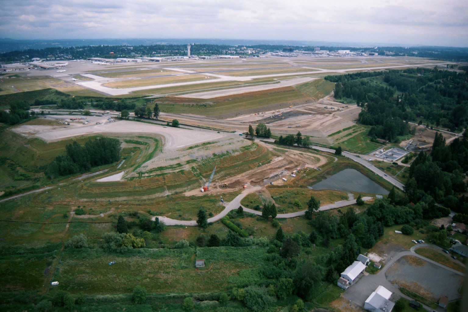 2001-06-22
Aerial View of Third Runway Construction at Sea-Tac Airport
Aerial photograph looking north toward Seattle-Tacoma International Airport, showing active runway construction and grading work on what appears to be the third runway project area. The main terminal, control tower, and existing parallel runways are visible in the background, with construction equipment and disturbed earth in the foreground adjacent to residential and forested areas to the south. -
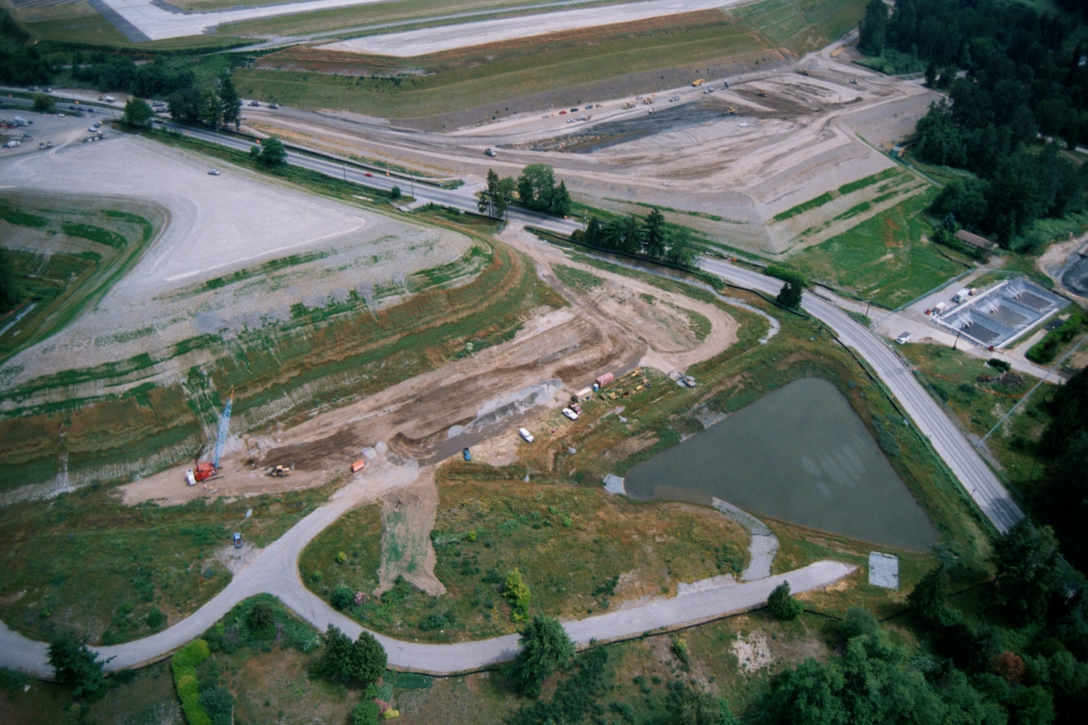 2001-06-22
Aerial View of Construction and Earthwork Adjacent to Sea-Tac Airport Runway
Aerial photograph showing active earthwork and construction operations on a large graded site adjacent to what appears to be an airport runway edge (visible at top). A retention pond, construction crane, heavy equipment, and a roadway interchange are visible, consistent with airport-area infrastructure development or noise mitigation land acquisition activity. -
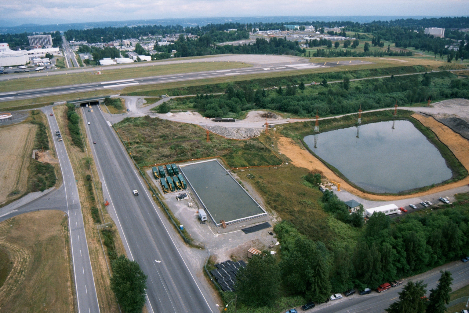 2001-06-22
Aerial View of Highway and Airport Runway Adjacent to Active Construction Site
Aerial photograph showing a multi-lane highway (likely Interstate 5 or SR-99) adjacent to an airport runway, with active construction including a retention/detention pond, crane towers, and a partially completed building. The scene suggests infrastructure or noise-mitigation related development near the airport perimeter.