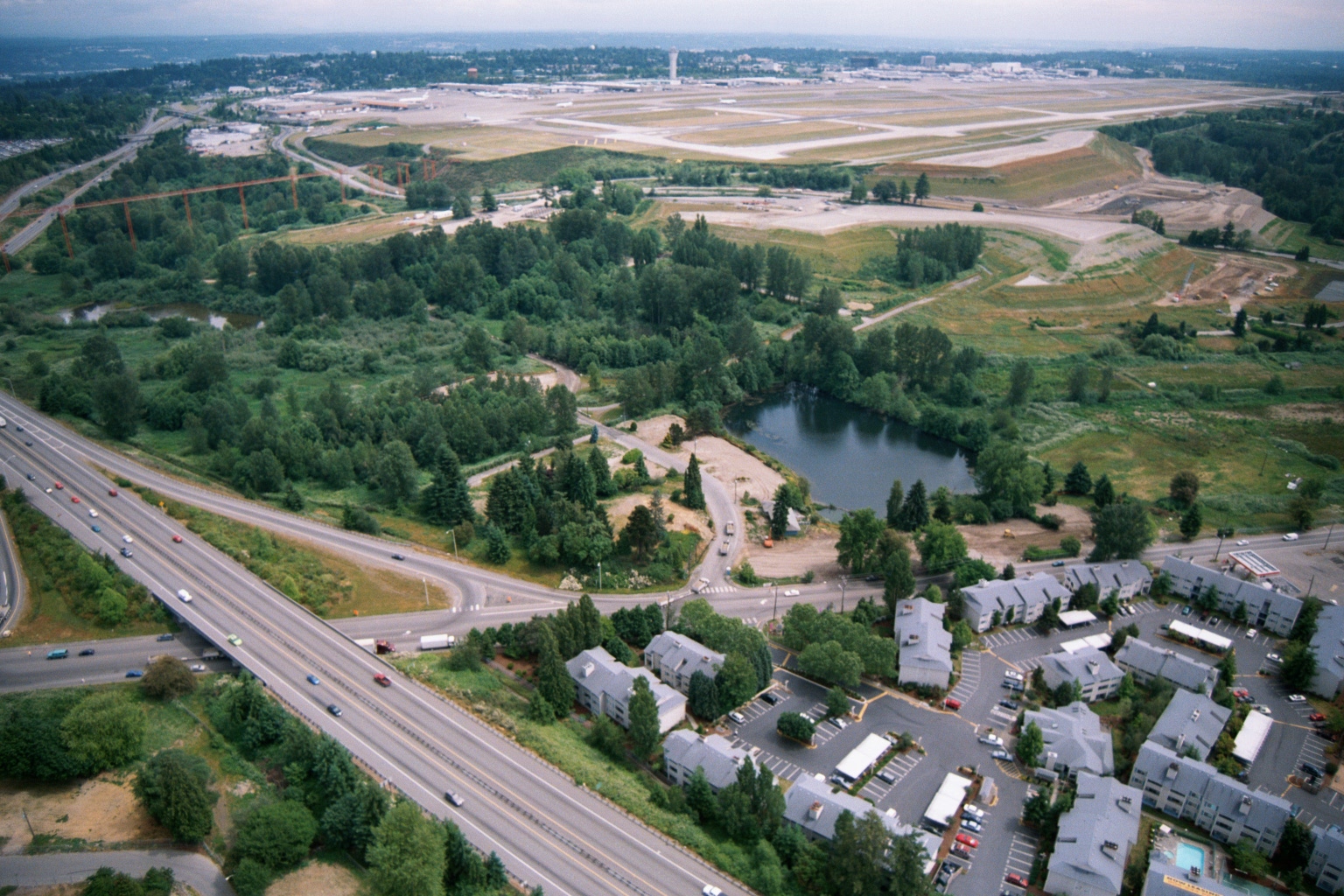
Aerial photograph showing a large airport with runways under construction or expansion in the background, a multi-lane highway running diagonally through the frame, a small pond surrounded by green space, and a residential apartment complex in the foreground. The proximity of the residential development, green buffer zone, and airport infrastructure suggests this image relates to land use and noise-impact planning near a major airport, consistent with Sea-Tac Airport environs.Open full document
Notes
Aerial photograph showing a large airport with runways under construction or expansion in the background, a multi-lane highway running diagonally through the frame, a small pond surrounded by green space, and a residential apartment complex in the foreground. The proximity of the residential development, green buffer zone, and airport infrastructure suggests this image relates to land use and noise-impact planning near a major airport, consistent with Sea-Tac Airport environs.