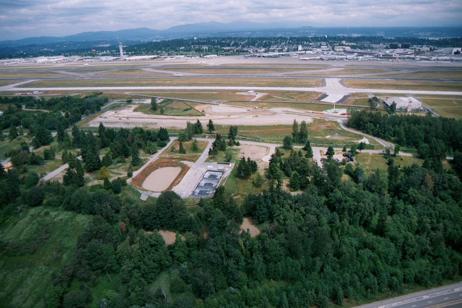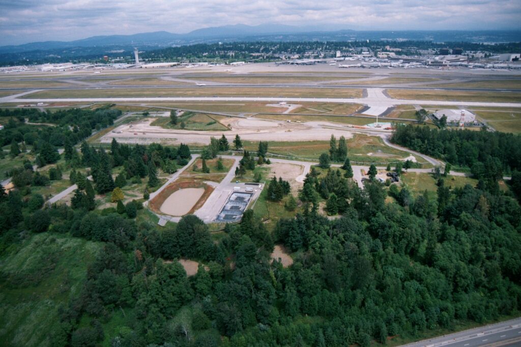
Aerial photograph showing a large airport's runway and taxiway system in the background, with a forested buffer zone and what appear to be stormwater retention or water treatment ponds in the foreground. The layout, scale, and Pacific Northwest landscape context (evergreen trees, mountain range, urban development) are consistent with a major regional airport facility.Open full document
Notes
Aerial photograph showing a large airport’s runway and taxiway system in the background, with a forested buffer zone and what appear to be stormwater retention or water treatment ponds in the foreground. The layout, scale, and Pacific Northwest landscape context (evergreen trees, mountain range, urban development) are consistent with a major regional airport facility.