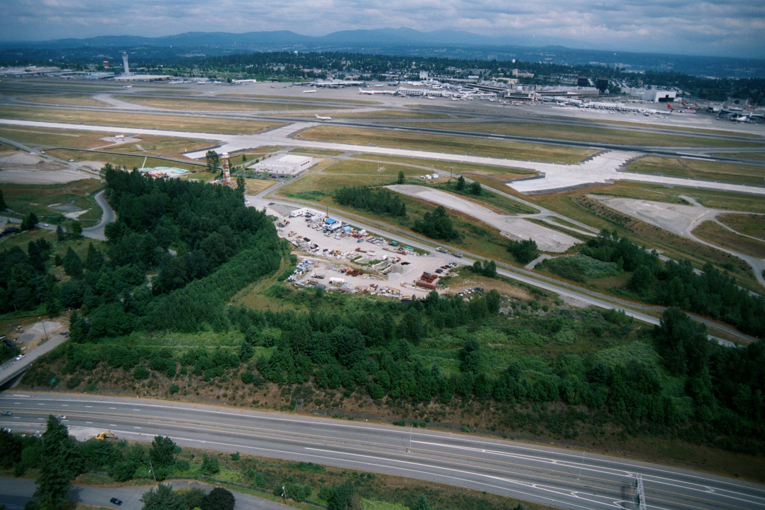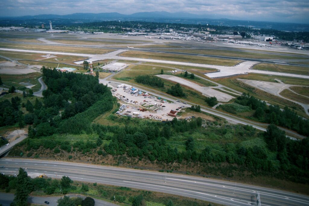
Aerial photograph showing Seattle-Tacoma International Airport's runway complex, taxiways, and terminal area in the background, with a highway (likely SR-99 or I-5) and a wooded buffer zone with a construction/staging yard visible in the foreground. A red-and-white striped navigation tower is visible near the tree line adjacent to the airfield.Open full document
Notes
Aerial photograph showing Seattle-Tacoma International Airport’s runway complex, taxiways, and terminal area in the background, with a highway (likely SR-99 or I-5) and a wooded buffer zone with a construction/staging yard visible in the foreground. A red-and-white striped navigation tower is visible near the tree line adjacent to the airfield.