TagRunways(144)
-
 1961-01-01
Sea-Tac Airport Runways 1961
-
 1960-01-01
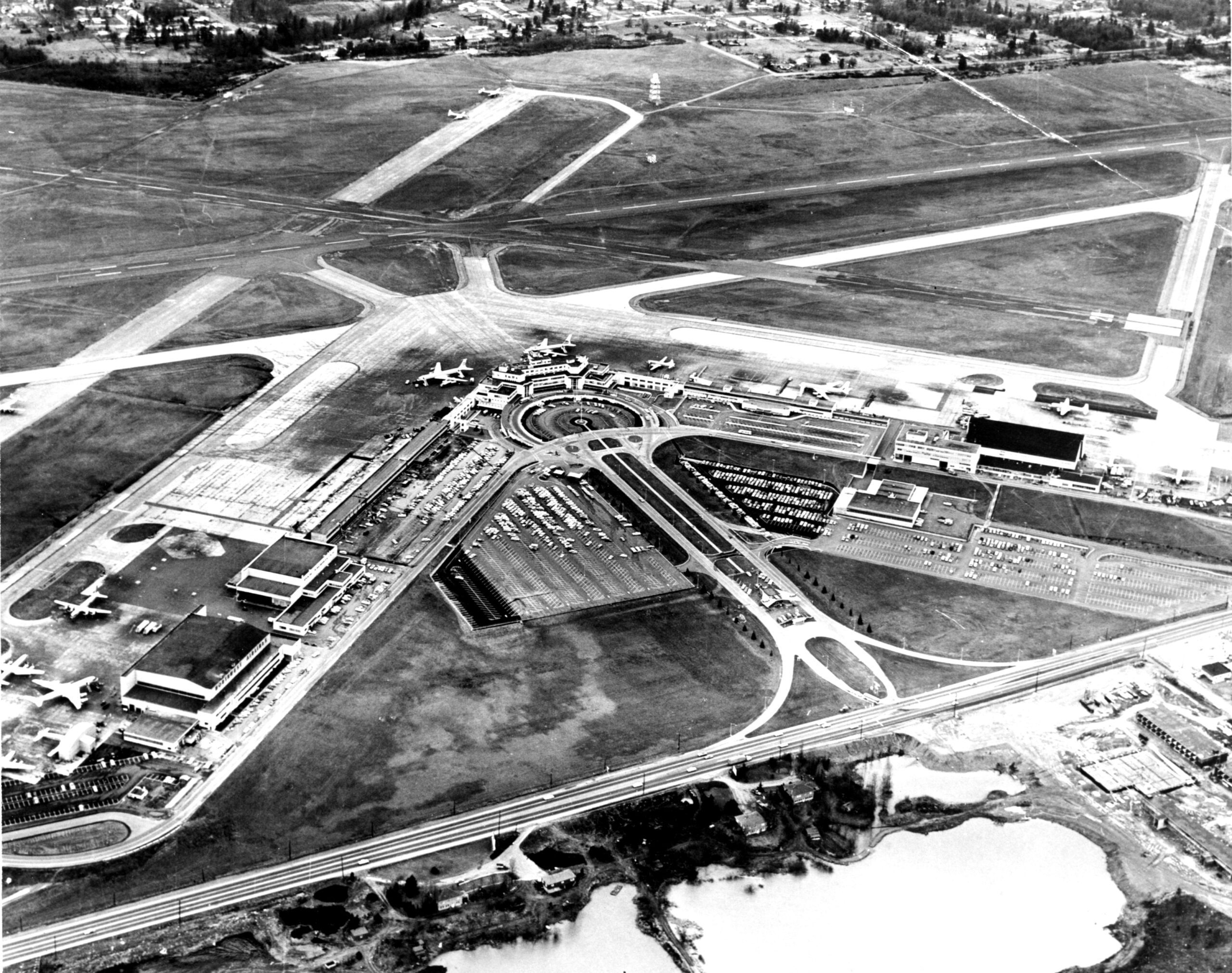
Sea-Tac Aerial circa 1960s
Black-and-white aerial photograph showing a commercial airport with a central terminal building, circular roadway approach, large surface parking areas, and multiple runway intersections. Several propeller and early jet-era aircraft are visible on the apron and taxiways, suggesting the image dates from the late 1950s to early 1960s based on aircraft types and terminal architecture. -
 1952-01-01
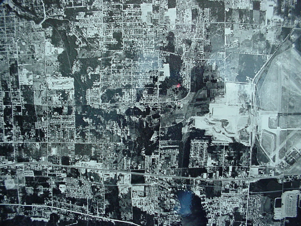
Aerial Runway Photo early 1950’s
Before southern extensions of 16L/34R (now the eastern runway) over 188th and before parking lot in front of terminal. The outline of the original 'plateau' is somewhat visible. Depicts surrounding neighborhoods and tree cover. -
 1948-01-01
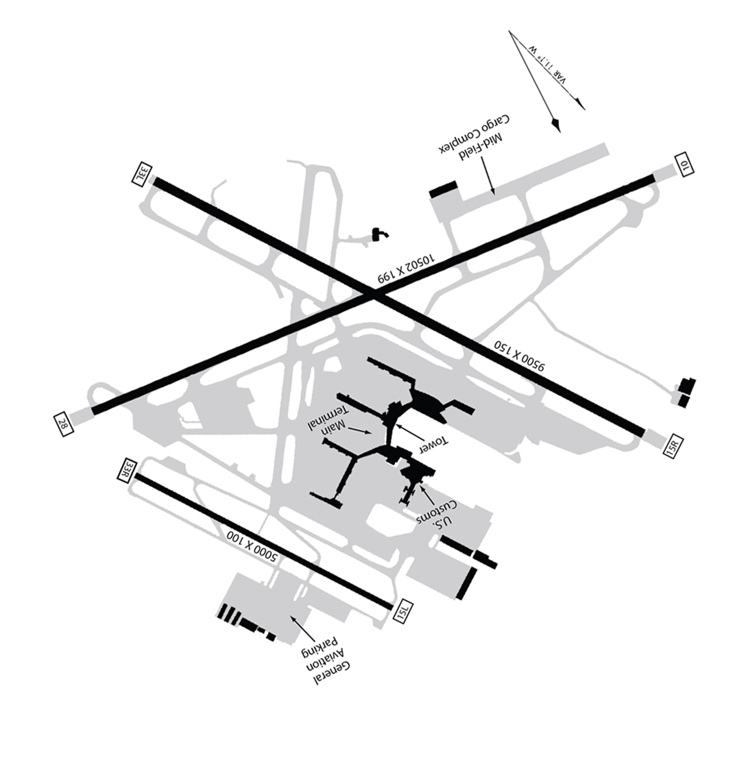
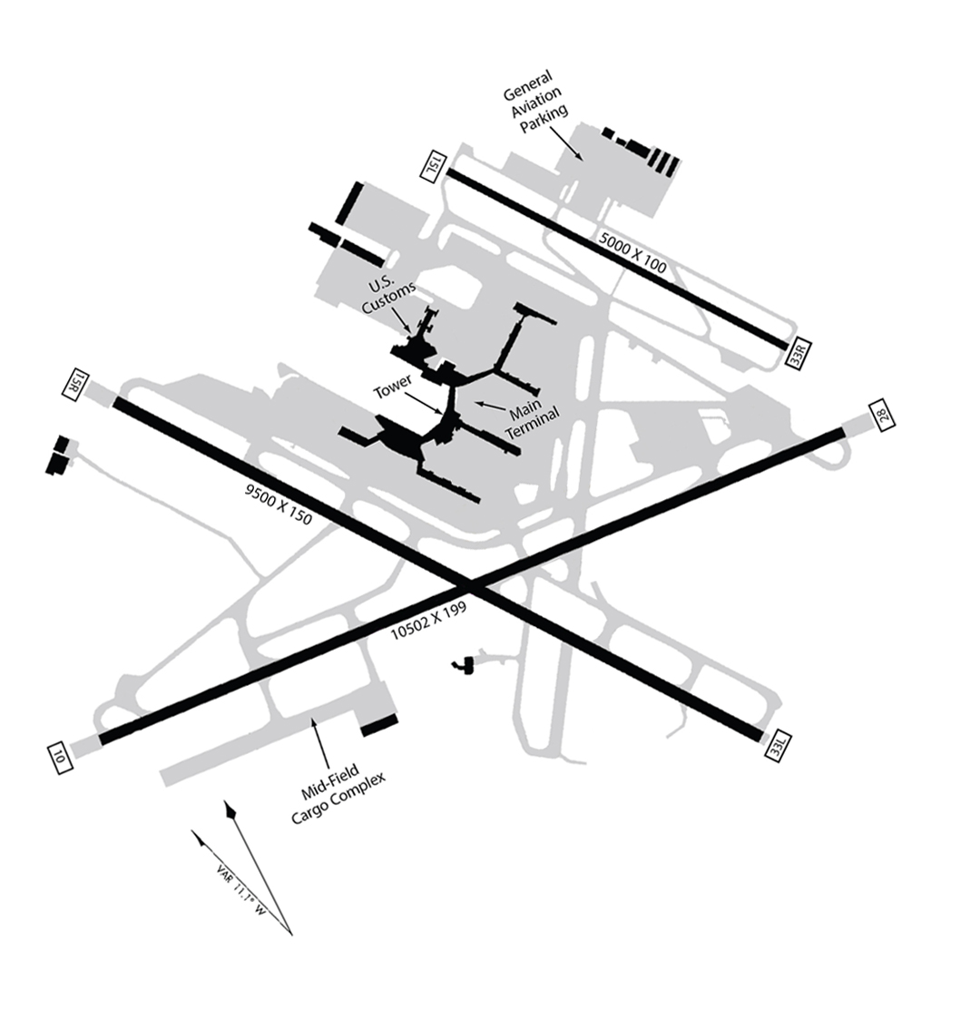
Seatac Airport Map 1948 rotated
An airport diagram showing multiple runways including dimensions 10502x199 and 9500x150 and 5000x100, with labeled facilities including Main Terminal, Tower, U.S. Customs, Mid-Field Cargo Complex, and General Aviation Parking. Runway end identifiers visible include 33L, 15L, 15R, 28, and 10, suggesting a multi-runway facility, though the specific airport is not explicitly named in visible text. -
 1948-01-01
Sea-Tac Airport Layout Map with Three Runways (1948)
Airport layout diagram of Seattle-Tacoma International Airport showing three runways (9500x150, 10502x199, and 5000x100 ft), with labeled facilities including the Main Terminal, Tower, U.S. Customs, General Aviation Parking, and Mid-Field Cargo Complex. Runway end identifiers visible include 15L, 33R, 33L, 15R, and others, with a magnetic variation note of VAR 11.1° W. -
 1948-01-01
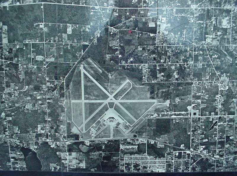
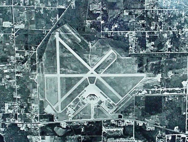
1948 Aerial Photograph of Airport Runways
Black-and-white aerial photograph showing a general aviation or regional airport with multiple intersecting runways in an X/triangle configuration, surrounded by a grid of rural and suburban parcels. No visible text, captions, or identifying markings are present in the image. -
 1948-01-01
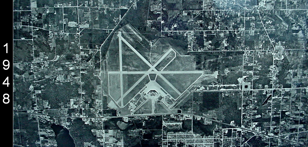
Sea-Tac Airport Aerial Photograph, 1948
A 1948 aerial photograph showing a mid-20th century airport with a classic X-pattern multi-runway layout and a circular terminal apron area. The year '1948' is visible as a watermark on the left side of the image; the surrounding landscape shows a mix of agricultural plots and suburban development. -
 1948-01-01
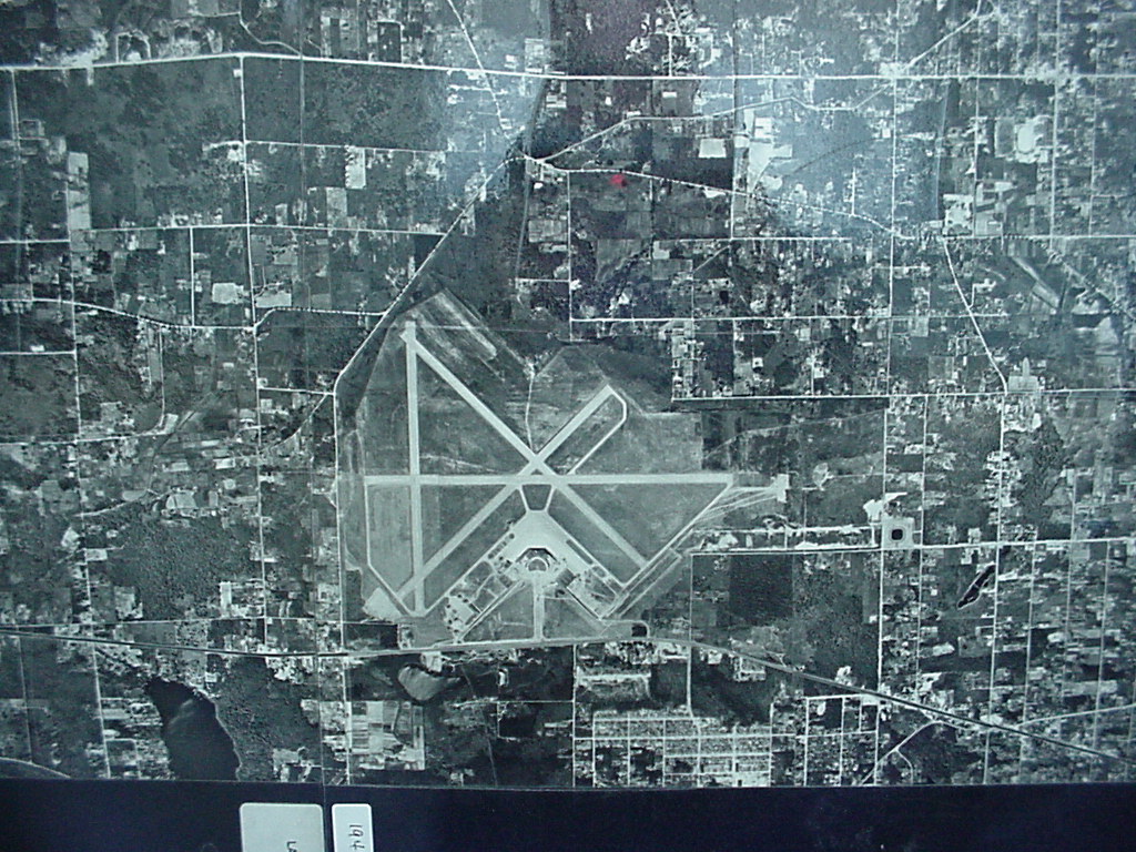
Sea-Tac Airport Aerial View Showing X-Pattern Runways, 1948
Black-and-white aerial/satellite photograph showing an airport with multiple crossing runways arranged in an X-pattern, surrounded by a mixed urban and rural landscape with a grid road network. Two small label tabs are visible at the bottom of the image but the text is not clearly legible. -
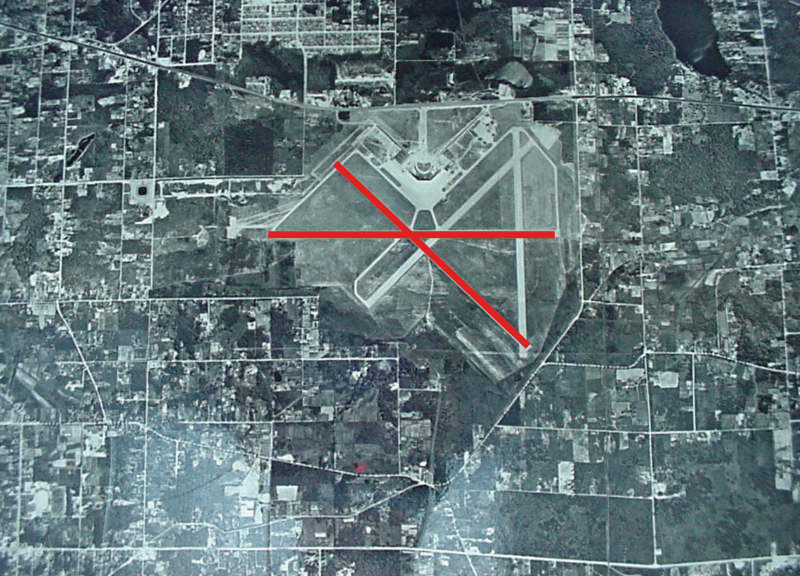 1948-01-01
Sea-Tac Airport 1948 Aerial Photograph With Closed Runway Markers
Black-and-white aerial photograph of an airport facility showing multiple runways in an X-pattern configuration. Two red lines have been overlaid on the image forming an X shape, a standard aeronautical symbol indicating closed or decommissioned runways. -
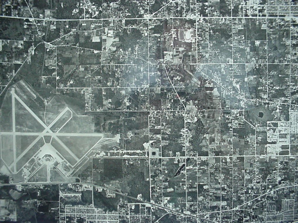 1948-01-01
Aerial Photograph of Airport with X-Pattern Runway Configuration, 1948
Black-and-white aerial photograph showing a multi-runway airport facility with an X-pattern runway configuration on the left side of the frame, surrounded by a gridded suburban or semi-rural landscape with roads, parcels, and scattered development. No visible text, date, or identifying labels are present in the image.