TagPart 150(269)
-
 2013-09-24
Port Of Seattle Part 150 Commission Presentation — Closing Slide (Page 16, September 24, 2013)
A 'Thank you' closing slide from a Port of Seattle presentation, featuring the Port of Seattle logo and tagline 'Where a sustainable world is headed.' The slide includes thumbnail images of fishing boats, an Alaska Airlines aircraft, shipping containers, and the Seattle skyline with the Space Needle visible. -
 2013-09-24
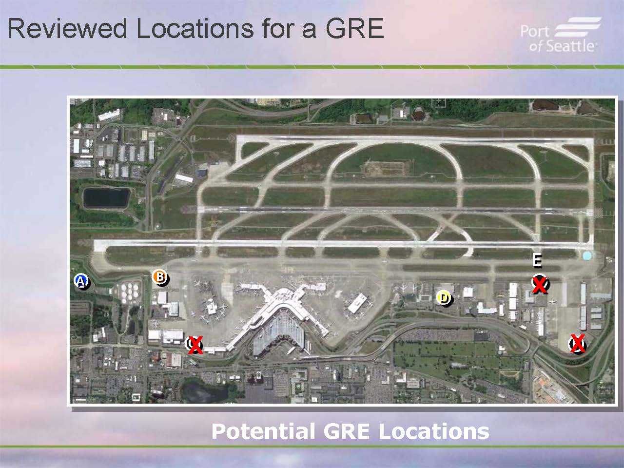
Part 150 GRE Candidate Site Review — Sea-Tac Airport Commission Presentation (Slide 11, September 24, 2013)
A Port of Seattle presentation slide titled 'Reviewed Locations for a GRE' shows an aerial satellite image of Seattle-Tacoma International Airport with five candidate sites (A, B, C, D, E) marked; locations C, E, and F are crossed out in red, indicating they were eliminated from consideration. The slide caption reads 'Potential GRE Locations.' -
 2013-09-24
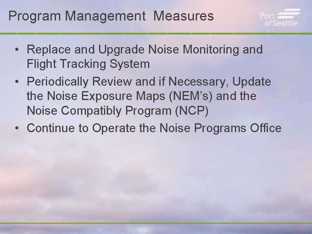
Port Of Seattle Commission Presentation: Part 150 Program Management Measures — Slide 12 (September 24, 2013)
A Port of Seattle presentation slide titled 'Program Management Measures' outlining three noise management actions at Sea-Tac Airport: replacing and upgrading the Noise Monitoring and Flight Tracking System, periodically reviewing and updating Noise Exposure Maps (NEMs) and the Noise Compatibility Program (NCP), and continuing to operate the Noise Programs Office. -
 2013-09-24
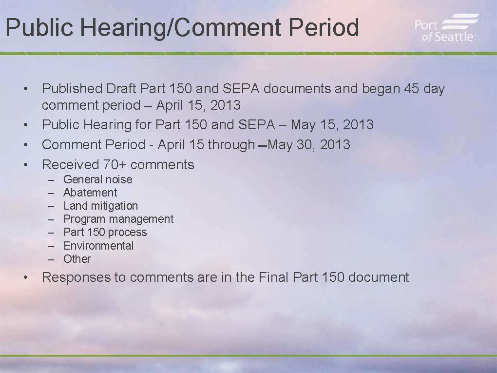
Part 150 Public Comment Process Summary — Commission Presentation, September 24, 2013 (Slide 13)
A Port of Seattle presentation slide summarizing the Part 150 and SEPA public comment process: Draft documents were published and a 45-day comment period began April 15, 2013; a public hearing was held May 15, 2013; the comment period ran April 15 through May 30, 2013; over 70 comments were received covering general noise, abatement, land mitigation, program management, Part 150 process, environmental issues, and other topics. Responses to all comments are contained in the Final Part 150 document. -
 2013-09-24
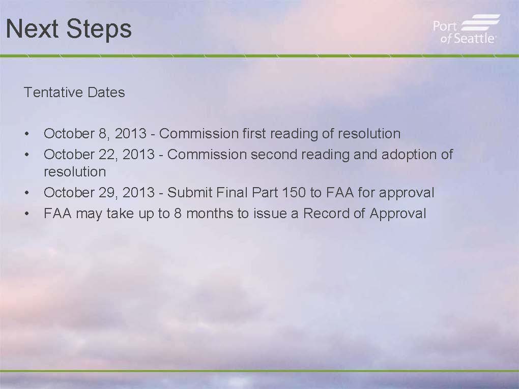
Part 150 Noise Study — Tentative Schedule and FAA Submission Timeline (Slide 14, September 24, 2013)
A Port of Seattle presentation slide outlining tentative dates for the Part 150 noise study process, including Commission first reading on October 8, 2013, second reading and adoption on October 22, 2013, submission of the Final Part 150 to the FAA on October 29, 2013, and a note that the FAA may take up to 8 months to issue a Record of Approval. -
 2013-09-24
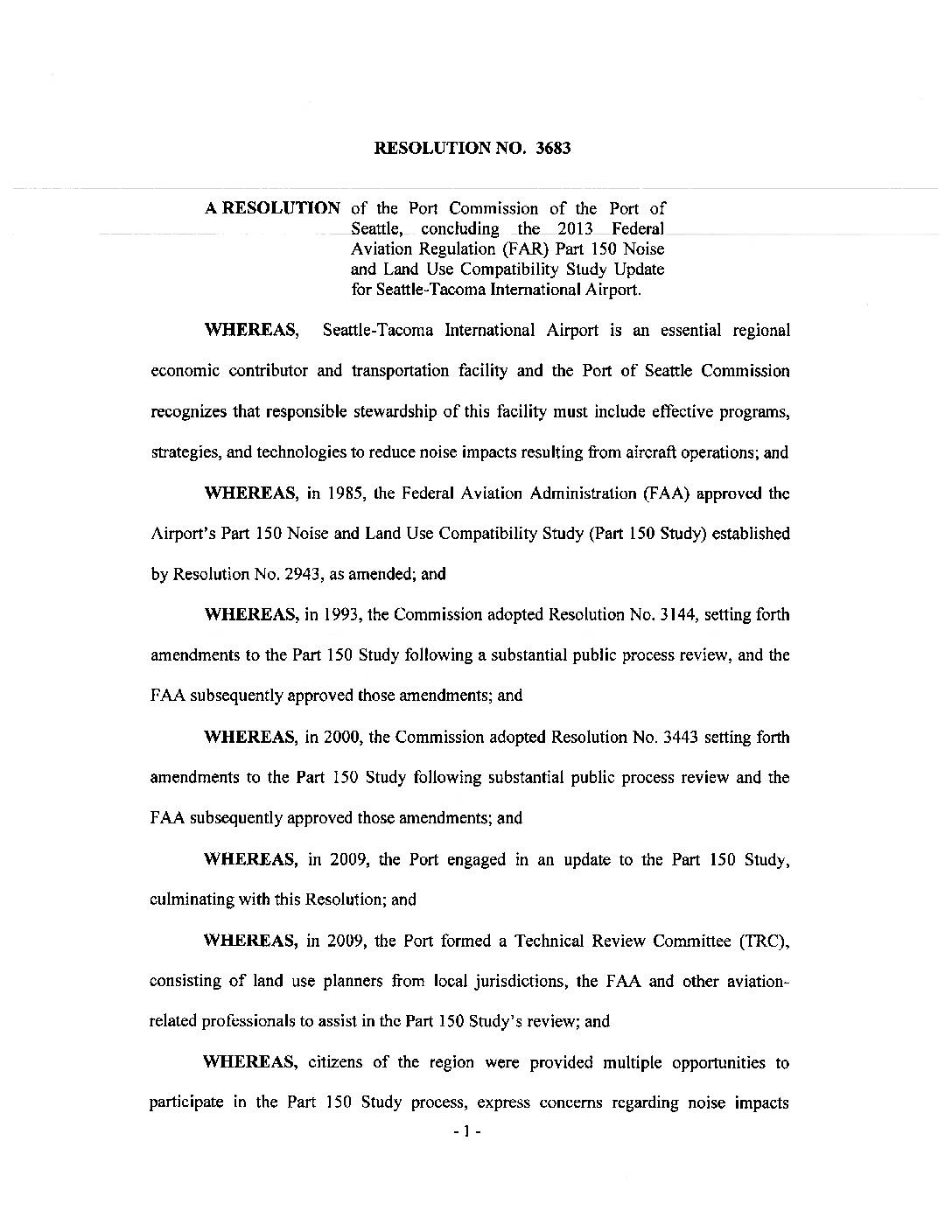
Port Of Seattle Resolution No. 3683
Resolution No. 3683 is a Port of Seattle Commission resolution concluding the 2013 update to the Federal Aviation Regulation (FAR) Part 150 Noise and Land Use Compatibility Study for Seattle-Tacoma International Airport. It directs Port staff to submit updated Noise Exposure Maps to the FAA and implements a range of noise-reduction measures, including school sound insulation, preferential runway use at night, and voluntary rescheduling of nighttime short-haul flights. The resolution builds on previous Part 150 Studies from 1985, 1993, and 2000, incorporating public input and a formal environmental review process. -
 2013-09-24
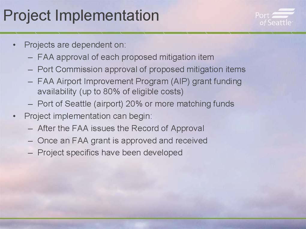
Port Of Seattle Part 150 Study — Project Implementation Conditions (Page 15, September 24, 2013 Commission Presentation)
A Port of Seattle presentation slide titled 'Project Implementation' outlines conditions for noise mitigation projects at Sea-Tac Airport, including required FAA approval of mitigation items, Port Commission approval, FAA Airport Improvement Program (AIP) grant funding covering up to 80% of eligible costs, and a Port of Seattle 20% match. Project implementation may begin after the FAA issues a Record of Approval, an FAA grant is approved and received, and project specifics are developed. -
 2013-09-24
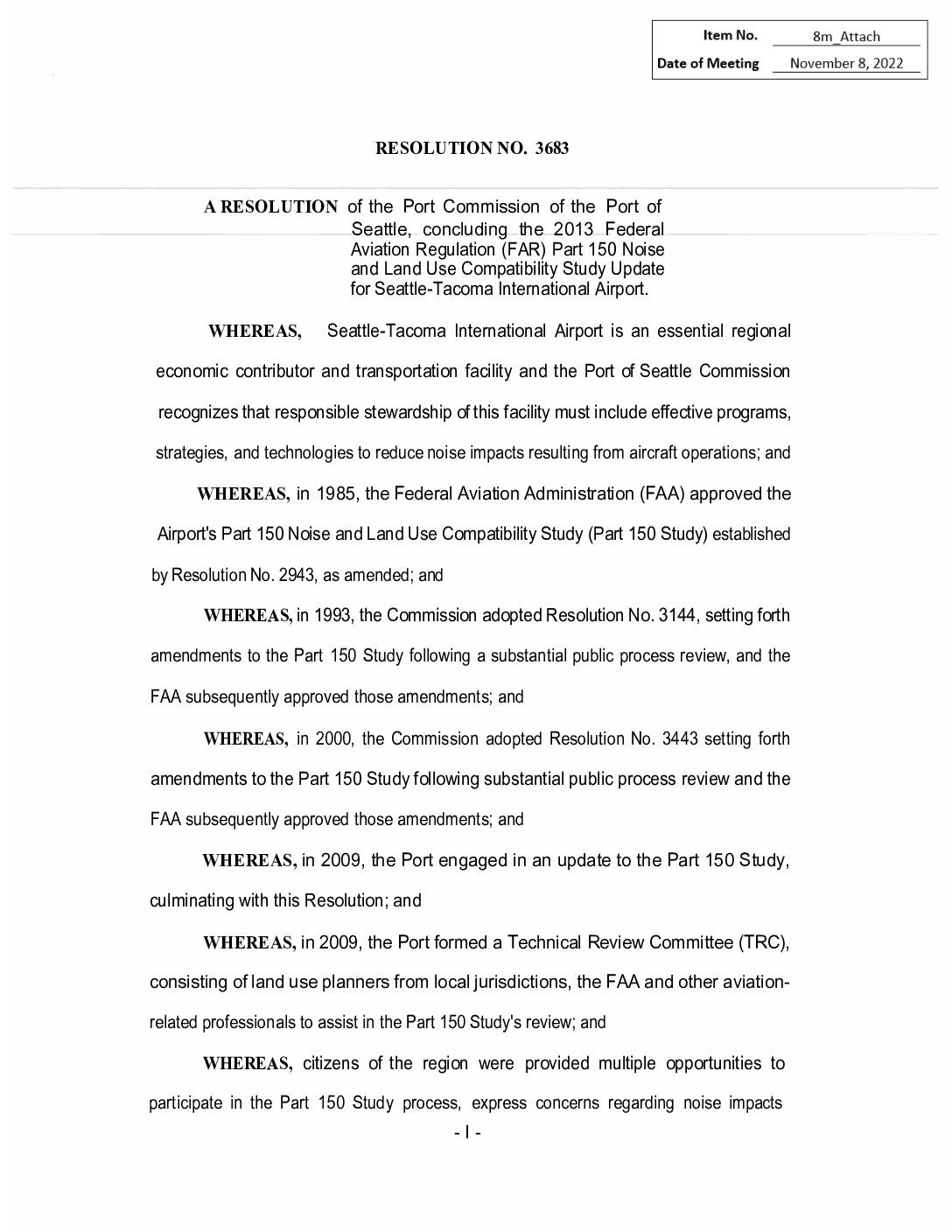
Resolution No. 3683: 2013 FAR Part 150 Noise and Land Use Compatibility Study Update for Seattle-Tacoma International Airport
Resolution No. 3683 is a Port of Seattle Commission decision concluding the 2013 update to the FAR Part 150 Noise and Land Use Compatibility Study for Seattle-Tacoma International Airport. The resolution directs Port staff to submit updated Noise Exposure Maps to the FAA and adopt a range of noise-reduction measures, including school sound insulation, preferential nighttime runway use, and voluntary rescheduling of short-haul flights. It builds on previous noise studies approved in 1985, 1993, and 2000, following a public comment period and environmental review conducted in 2013. -
 2013-09-24
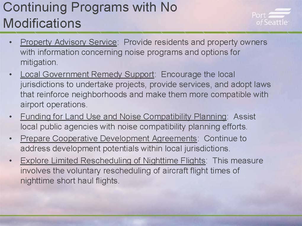
Port Of Seattle Part 150 Study — Continuing Noise-Mitigation Programs Requiring No Modification (Page 7, September 24, 2013)
A Port of Seattle presentation slide listing five continuing noise-mitigation programs requiring no modifications: Property Advisory Service, Local Government Remedy Support, Funding for Land Use and Noise Compatibility Planning, Prepare Cooperative Development Agreements, and Explore Limited Rescheduling of Nighttime Flights. The slide is branded with the Port of Seattle logo and relates to Sea-Tac Airport noise compatibility planning efforts. -
 2013-09-24
Seattle-Tacoma International Airport Part 150 Update: Commission Presentation
The Port of Seattle is updating its Part 150 noise management plan for Seattle-Tacoma International Airport, which includes revising the official noise remedy boundary based on 2018 future noise contour projections. The updated boundary is generally smaller than the current one, reshaping which properties qualify for noise mitigation assistance. Continuing programs under the new boundary include sound insulation for both single-family homes and owner-occupied multi-family residences located within the affected area.