TagHistory(127)
-
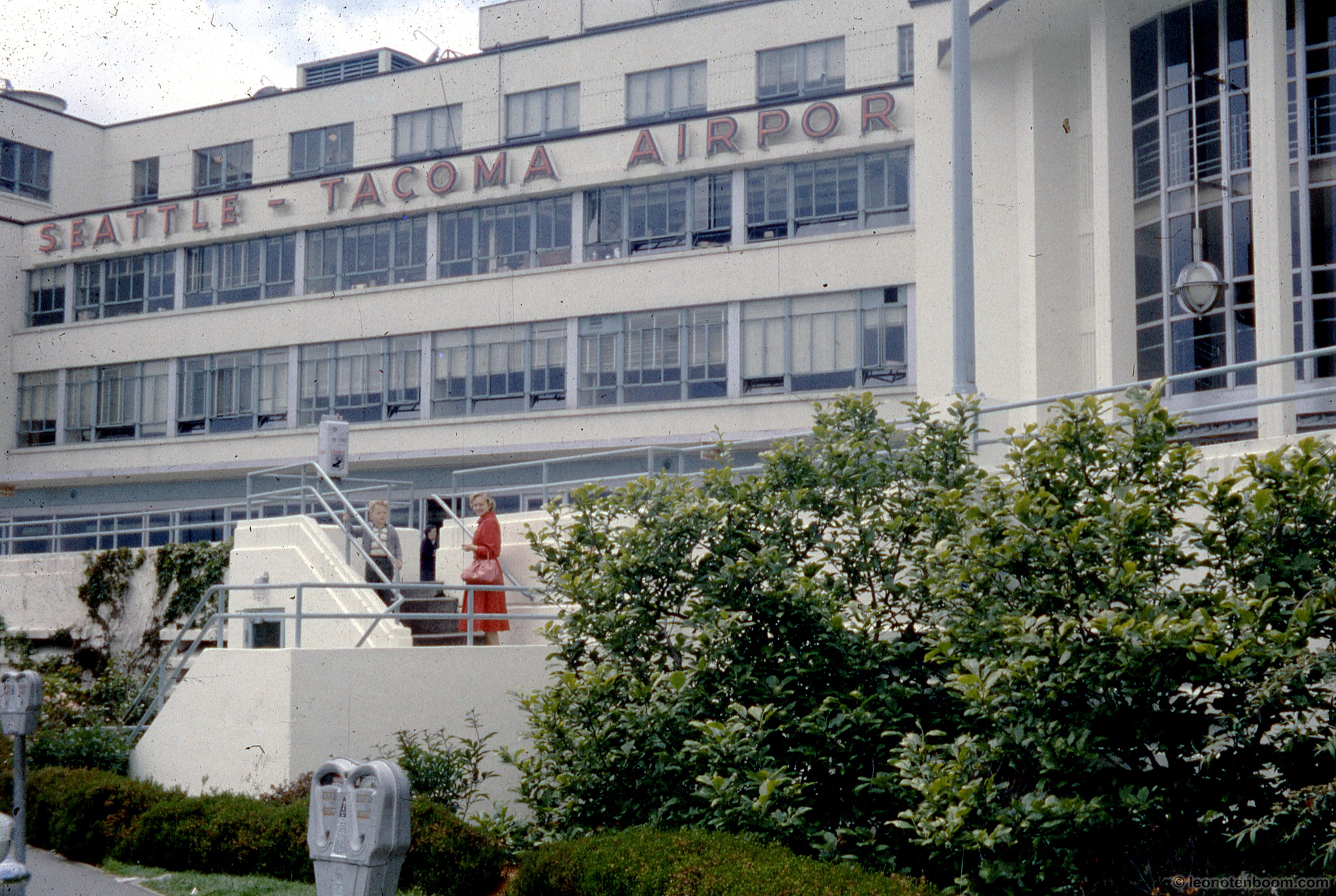 1962-01-01
Sea-Tac Airport Terminal 1962
Exterior view of the original Seattle-Tacoma Airport terminal building, showing the large red 'SEATTLE - TACOMA AIRPORT' signage on the white Art Moderne-style facade. Two women are visible on the front entrance stairs, with period parking meters in the foreground; watermark reads leonotenboom.com. -
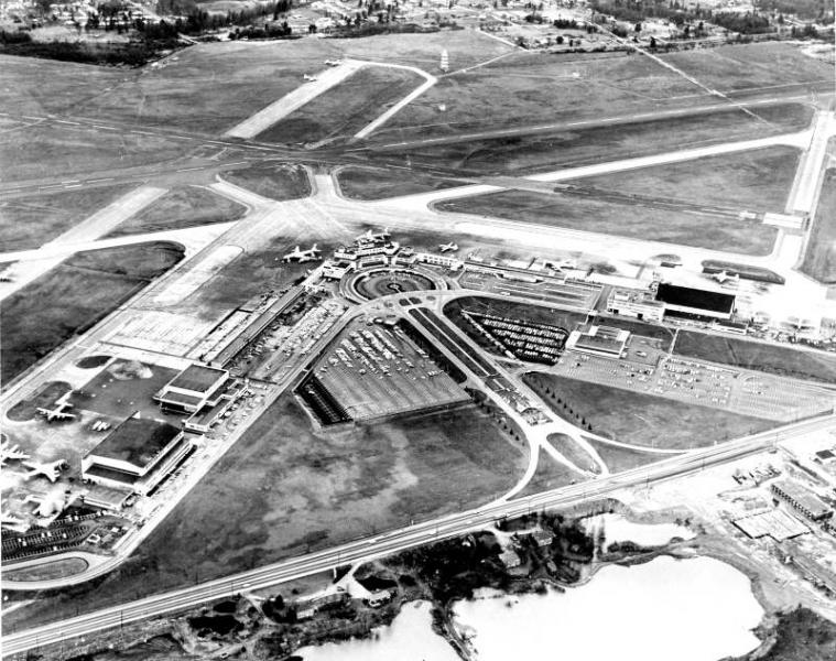 1961-01-01
Sea-Tac Airport Aerial View, 1961
Black-and-white aerial photograph showing a commercial airport with a central terminal building, circular access road, parking areas, multiple runways in an X/cross configuration, and what appear to be propeller-era aircraft on the apron. The layout and scale are consistent with a regional hub airport, likely dating from the 1950s or early 1960s based on aircraft types and terminal design visible, but no text, captions, or watermarks are present to confirm the specific facility or date. -
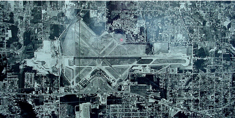 1961-01-01
Sea-Tac Airport Aerial Photograph, 1961
Black-and-white aerial satellite or survey photograph showing a large commercial airport with multiple runways in an X/V configuration, surrounded by dense urban development. No visible text, labels, or watermarks are present to confirm the specific airport identity or date. -
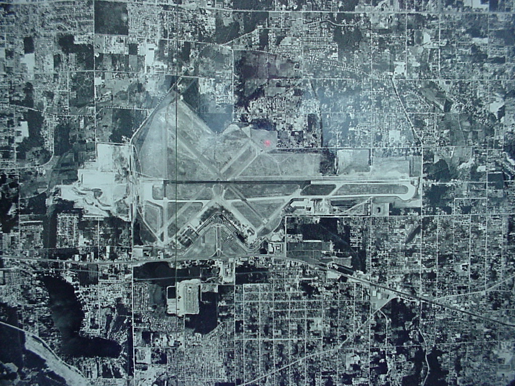 1961-01-01
Aerial Photograph of Airport Runways, 1961
Black-and-white aerial or satellite photograph showing a major airport with multiple runways arranged in an X/parallel configuration, surrounded by a dense urban grid. The image appears to be a planning or reference map with a faint grid overlay, but contains no visible text, labels, or date information to identify the specific airport or time period. -
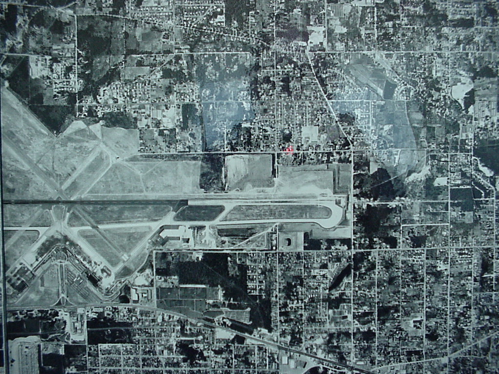 1961-01-01
Sea-Tac Airport Aerial Photograph circa 1961
Black-and-white aerial photograph showing a mid-20th century airport facility with multiple intersecting runways and taxiways, surrounded by a residential and commercial street grid. The image appears to be a planning or survey document, possibly a composite of multiple aerial tiles given visible seam lines. -
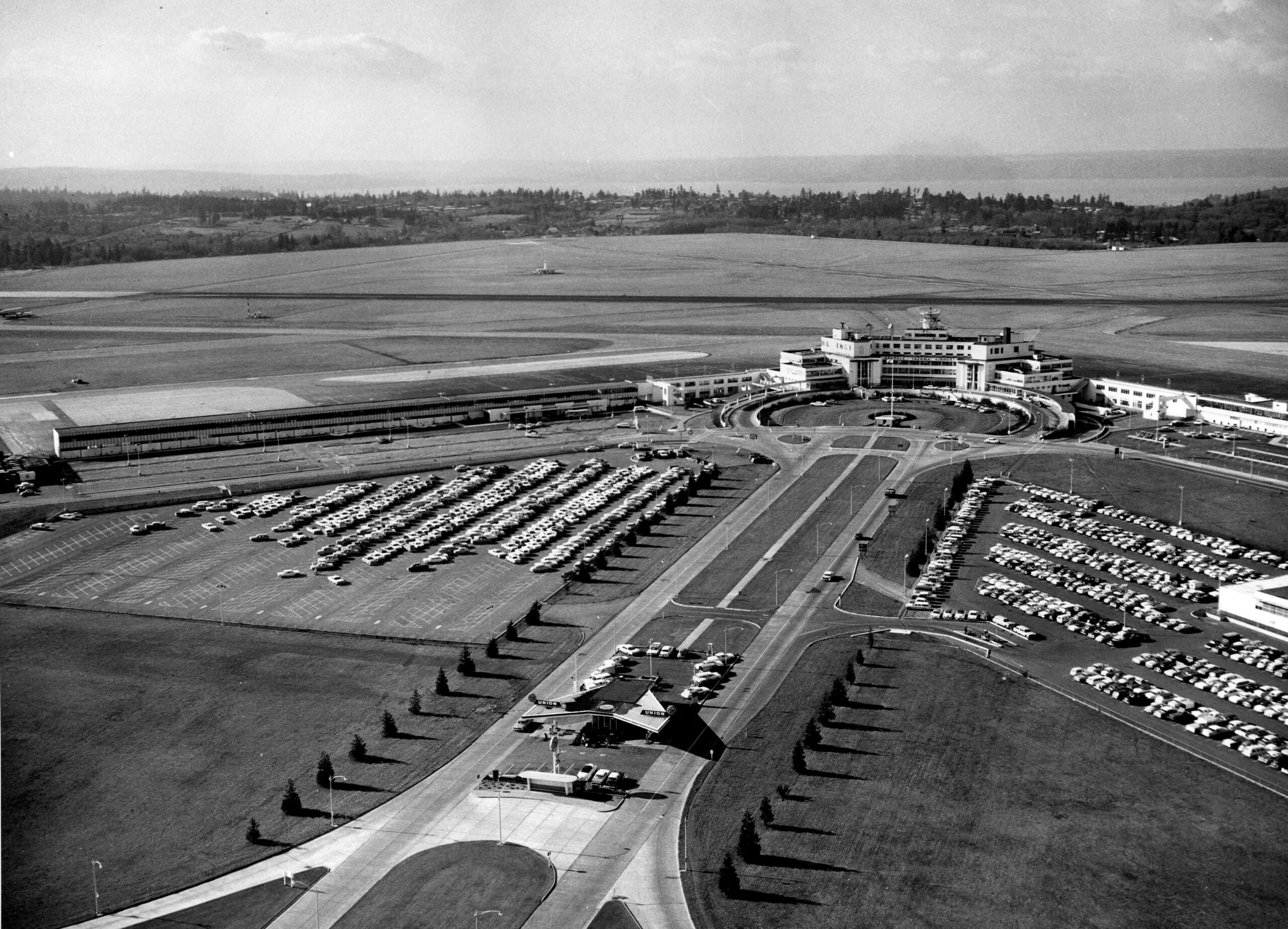 1961-01-01
Sea-Tac Aerial 1961
Aerial photograph showing an airport terminal building with a circular drive, large surface parking lots filled with period automobiles, and visible runways. A Union Oil (Union 76) service station is visible at the entrance road; the body of water and tree line in the background suggest a Puget Sound-area location consistent with Seattle-Tacoma Airport. -
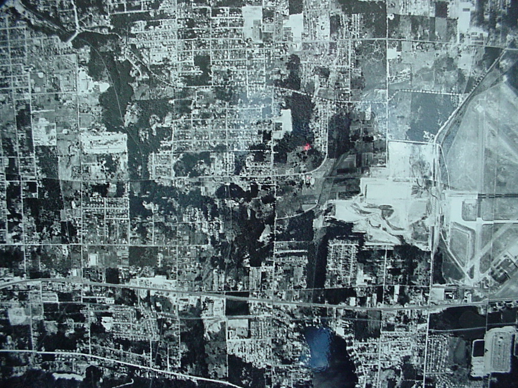 1961-01-01
Sea-Tac Airport Runways 1961
-
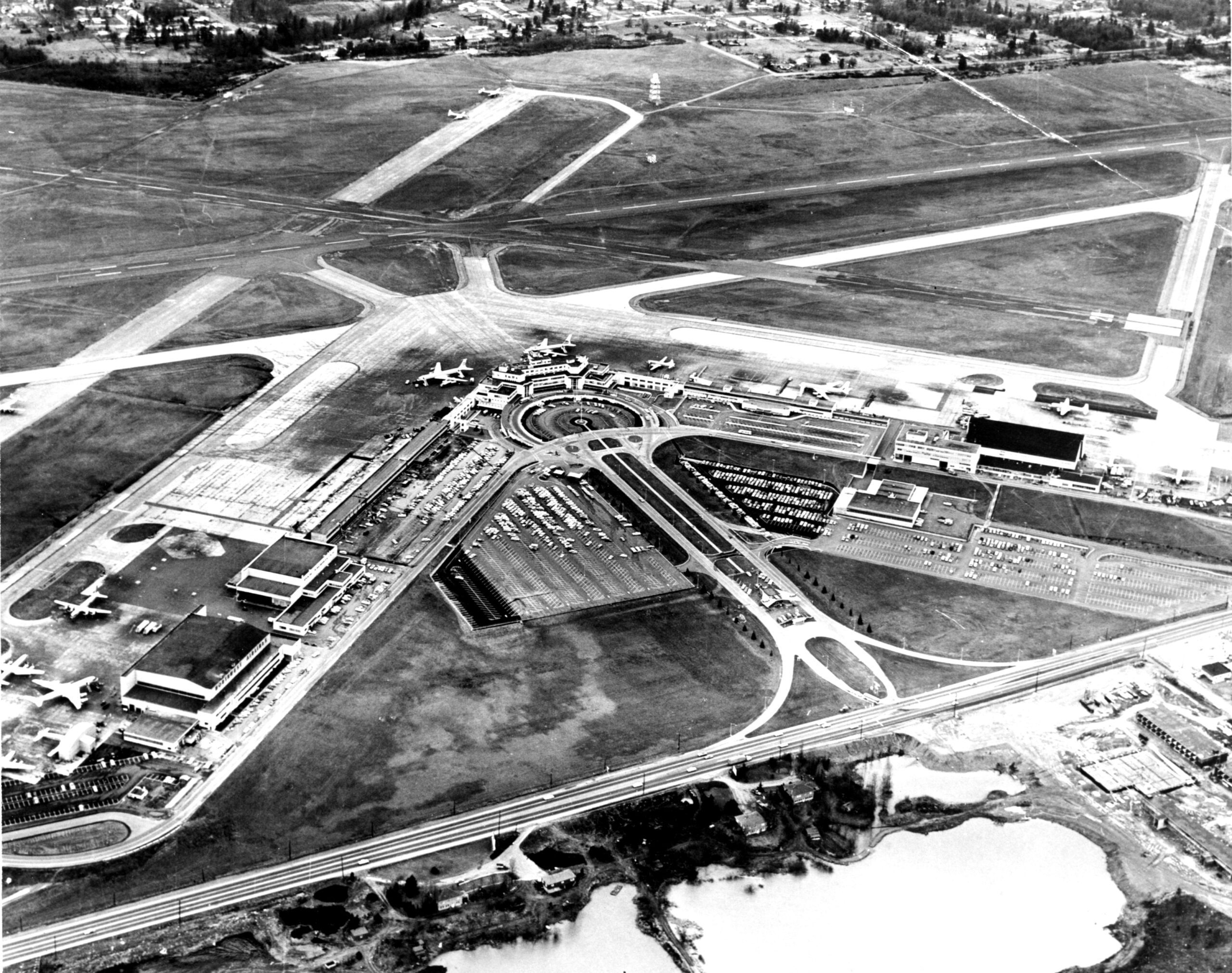 1960-01-01
Sea-Tac Aerial circa 1960s
Black-and-white aerial photograph showing a commercial airport with a central terminal building, circular roadway approach, large surface parking areas, and multiple runway intersections. Several propeller and early jet-era aircraft are visible on the apron and taxiways, suggesting the image dates from the late 1950s to early 1960s based on aircraft types and terminal architecture. -
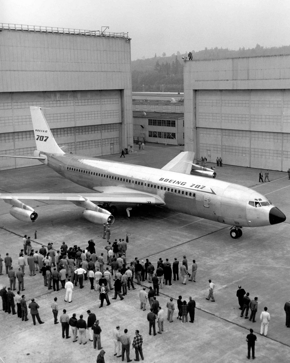
Boeing 707 #17586
The prototype Boeing 707 jet airliner is rolled out of the assembly hangar before a large crowd of Boeing workers and observers. The aircraft's fuselage prominently displays the 'BOEING 707' designation, marking a historic milestone in commercial jet aviation history, likely from the mid-to-late 1950s. -
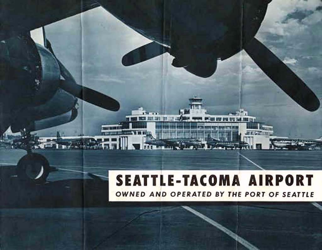 1956-01-01
Sea-Tac Airport Terminal Promotional Brochure Cover, 1956
Cover image of a promotional brochure for Seattle-Tacoma Airport, owned and operated by the Port of Seattle. The black-and-white photograph shows the original terminal building viewed from the tarmac, framed by propeller aircraft in the foreground, consistent with mid-20th century airport imagery from the era of SeaTac's early operations.