TagCity Of SeaTac(241)
-
2026-04-14
SeaTac City Council to vote to create new Port of Seattle ILA negotiation committee
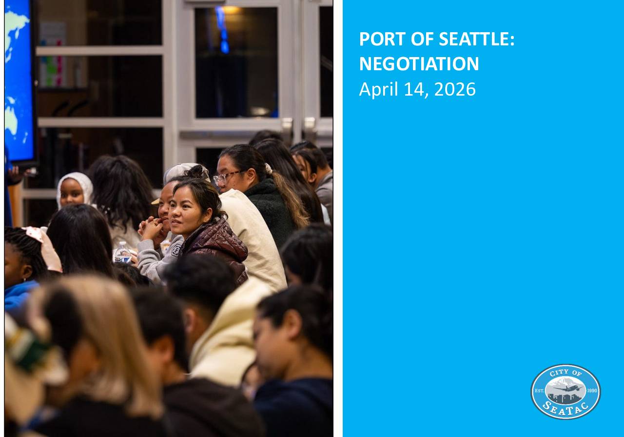
Resolution Creating Port of Seattle Negotiation Council Committee Presentation Background City Council adoption of Envision SeaTac 2044 community vision Port of Seattle operates Seattle-Tacoma International Airport within city boundaries Existing 2018 Interlocal Agreement expires February 2028 Need for comprehensive approach to Port negotiations Committee Establishment Creation of Ad Hoc City Council Committee – Port of -
 2026-04-14
Port Of Seattle: Negotiation
The City of SeaTac is moving to renegotiate its Interlocal Agreement with the Port of Seattle, which governs authority, collaboration, and dispute resolution between the two agencies regarding SEA Airport operations within SeaTac city limits. The current 2018 agreement expires in 2028, and on April 14, 2026, the City Council was asked to adopt a resolution creating a Port Negotiation Committee and authorizing the City Manager to begin formal negotiations. Staff recommended adopting the resolution with clarifications covering member absences and compliance with the Open Public Meetings Act. -
 2026-02-02
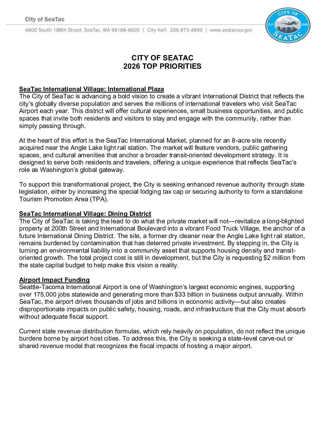
City of SeaTac 2026 Legislative Agenda
SeaTac’s 2026 legislative priorities including the International Village project with International Plaza and Dining District, airport impact funding requests, and policy issues covering fiscal sustainability, public safety, housing, and infrastructure needs. -
 2026-01-01
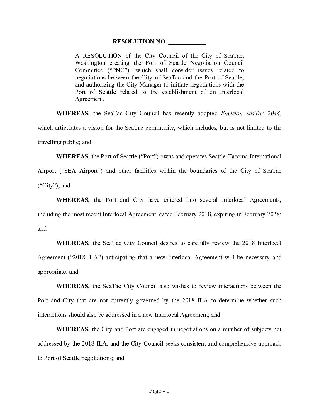
Resolution creating the Port Of Seattle Negotiation Council Committee (PNC) and authorizing interlocal agreement negotiations
The City of SeaTac passed a resolution creating the Port of Seattle Negotiation Committee (PNC), an ad hoc council committee tasked with guiding negotiations between the city and the Port of Seattle, which owns and operates Seattle-Tacoma International Airport. The committee, composed of Deputy Mayor Senayet Negusse, Councilmember Peter Kwon, and Councilmember Joe Vinson, will work toward developing a new Interlocal Agreement to replace the current 2018 agreement set to expire in February 2028. The resolution also authorizes the City Manager to formally initiate those negotiations with the Port of Seattle. -
 2026-01-01
Resolution creating the Port Of Seattle Negotiation Council Committee (PNC) and authorizing interlocal agreement negotiations
The City of SeaTac passed a resolution creating the Port of Seattle Negotiation Committee (PNC), an ad hoc council committee tasked with guiding negotiations between the city and the Port of Seattle, which owns and operates Seattle-Tacoma International Airport. The committee, composed of Deputy Mayor Senayet Negusse, Councilmember Peter Kwon, and Councilmember Joe Vinson, will work toward developing a new Interlocal Agreement to replace the current 2018 agreement set to expire in February 2028. The resolution also authorizes the City Manager to formally initiate those negotiations with the Port of Seattle. -
 2025-12-19
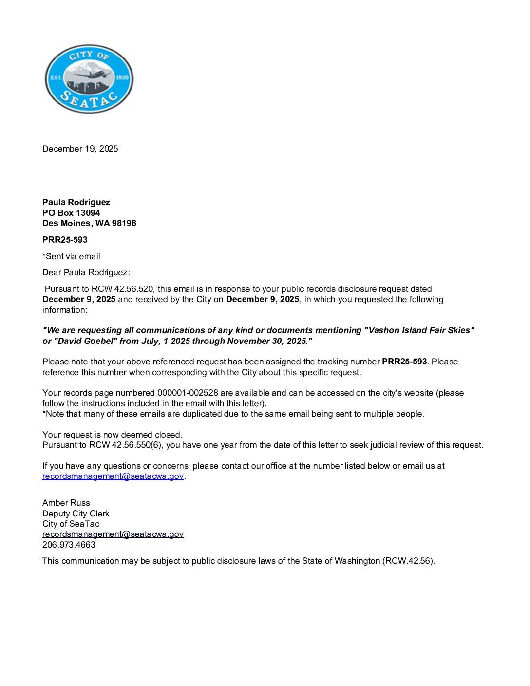
Public records request response letter PRR25-593 — City of SeaTac
The City of SeaTac responded to a public records request (PRR25-593) from Paula Rodriguez, fulfilling her December 9, 2025 request for all communications mentioning 'Vashon Island Fair Skies' or 'David Goebel' between July 1 and November 30, 2025. The city released 2,528 pages of records, noting that many documents are duplicated due to emails sent to multiple recipients. The request has been closed, with Rodriguez retaining the right to seek judicial review within one year under RCW 42.56.550(6). -
 2025-12-16
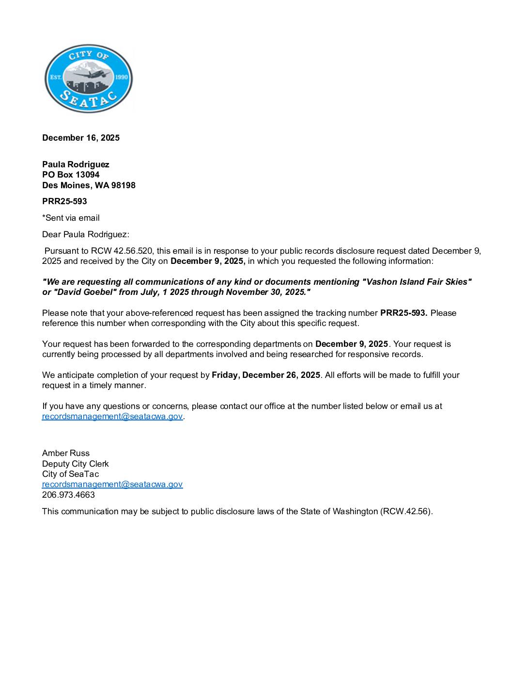
Public records request acknowledgment PRR25-593
The City of SeaTac acknowledged a public records request (PRR25-593) from Paula Rodriguez, filed December 9, 2025, seeking all communications and documents referencing 'Vashon Island Fair Skies' or 'David Goebel' between July 1 and November 30, 2025. The city confirmed the request was forwarded to relevant departments and anticipated fulfilling it by December 26, 2025. This request appears related to community advocacy efforts concerning aircraft noise and air quality around Sea-Tac Airport. -
 2025-12-09
Burien, Des Moines, and SeaTac File Joint Petition for Review of FAA Decision
Posted on 12/09/2025 On September 26, 2025, the Federal Aviation Administration (FAA) completed their National Environmental Policy Act review of the Port of Seattle’s Sustainable Airport Master Plan (SAMP) Near-Term Projects. Based on the review, the FAA approved a Final Environmental Assessment and a Finding of No Significant Impact/Record of Decision (FONSI/ROD) for 31 proposed -
 2025-12-08
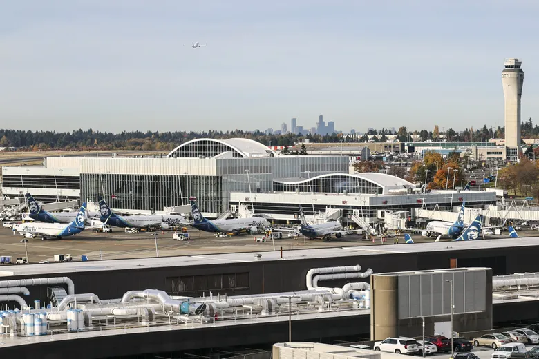
Cities appeal Sea-Tac airport expansion plans, including new terminal
Daily operations at Seattle-Tacoma International Airport in SeaTac. (Kevin Clark / The Seattle Times) By Lauren Rosenblatt Seattle Times business reporter The cities of Burien, Des Moines and SeaTac are challenging the Port of Seattle’s long-term vision for Seattle-Tacoma International Airport. The three cities filed a petition for judicial review of the Federal Aviation Administration’s -
 2025-12-03
Public records request response PRR25-568: SAMP legal services selection
The City of SeaTac responded to a public records request (PRR25-568) from Paula Rodriguez seeking all communications, proposals, and scoring related to the selection of legal services for the Sustainable Airport Master Plan (SAMP), covering both NEPA and SEPA processes from January 2024 through October 2025. The city provided 34 pages of responsive records, available on the city's website, and closed the request on December 3, 2025. Under RCW 42.56.550(6), the requester has one year from that date to seek judicial review.