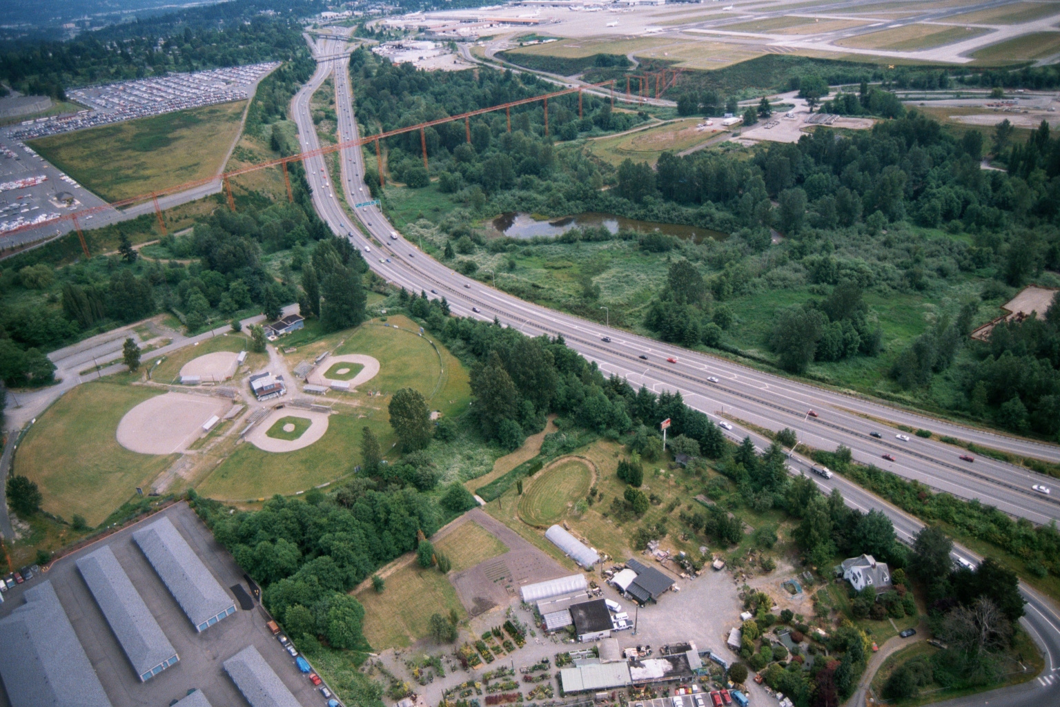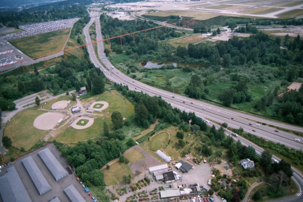
Aerial photograph showing a multi-lane highway (likely Interstate 5 or SR-99) running through a mixed landscape of ball fields, wetland ponds, and light industrial/nursery properties. Large orange high-voltage transmission tower structures are visible crossing the highway corridor, with what appears to be an airport runway environment in the upper right background.Open full document
Notes
Aerial photograph showing a multi-lane highway (likely Interstate 5 or SR-99) running through a mixed landscape of ball fields, wetland ponds, and light industrial/nursery properties. Large orange high-voltage transmission tower structures are visible crossing the highway corridor, with what appears to be an airport runway environment in the upper right background.