TagSound Transit(30)
-
SR509 Completion Project I-5 Connector Overview
A planning map showing Stage 1b and Stage 2 alignments of the Lake to Sound Trail in the Des Moines and SeaTac, Washington area. Key landmarks labeled include Des Moines Creek Park, Sound Transit Angle Lake Station, the Future Sound Transit Kent/Des Moines Station, SR-509, SR-516, SR-99, and I-5, with trail segments distinguished by color-coded legend lines including Sea-Tac Airport access routes. -
2018-09-18
City of Federal Way City Council Regular Meeting Agenda — September 18, 2018
The Federal Way City Council Regular Meeting agenda from September 18, 2018 includes a notable item under Council Business: authorization to submit a public comment regarding Environmental Review Scoping for the Sustainable Airport Master Plan (SAMP), found on page 41 of the agenda packet. The meeting also covers consent agenda items, proclamations, and committee reports, but the SAMP comment authorization represents the council's formal engagement with airport-related environmental policy affecting the Sea-Tac area. This item reflects the city's opportunity to weigh in on potential noise and land-use impacts associated with the airport's long-term expansion plans. -
2018-07-19
Des Moines City Council Regular Meeting Agenda – July 19, 2018
The Des Moines, Washington City Council held a regular meeting on July 19, 2018, covering several infrastructure and finance topics, including an Interlocal Agreement with Highline College to develop the College Way Connection Project as part of Sound Transit's Federal Way Link Extension light rail project. Additional items included a bond ordinance for general obligation refunding bonds, a 2019-2024 Capital Improvement Plan discussion, and a separate Interlocal Agreement with the Port of Seattle for South 216th Street improvements. The meeting concluded with an executive session regarding potential litigation and property acquisition. -
2016-08-01
Final Biological Assessment – Federal Way Link Extension
Biological assessment document for the Federal Way Link Extension transit project prepared by Sound Transit in August 2016. This appears to be an appendix containing the biological assessment required for evaluating environmental impacts of the light rail extension project. -
2015-11-18
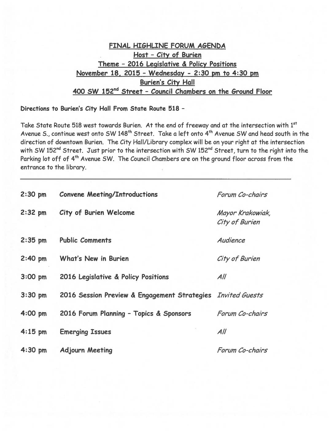
Highline Forum Agenda: 2016 Legislative & Policy Positions
The Soundside Alliance and Highline Forum, representing Southwest King County cities including Burien, Des Moines, Normandy Park, SeaTac, and Tukwila, jointly endorsed 10 legislative and policy priorities for 2016. These priorities spanned education funding, transportation infrastructure, and general government issues, including support for significant Sound Transit investments in Southwest King County through the proposed ST 3 package. The document reflects the regional coalition's shared agenda heading into the 2016 Washington State legislative session. -
2014-03-25
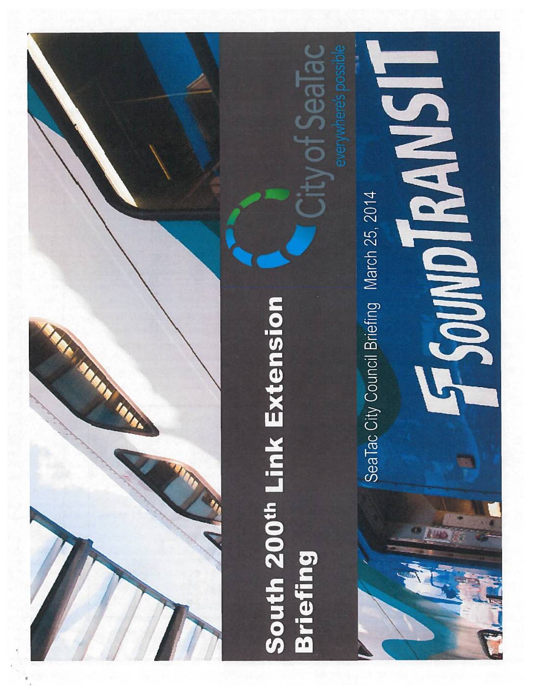
South 200th Link Extension Briefing: Sea-Tac City Council Briefing
Sound Transit and City of SeaTac presentation to the SeaTac City Council on March 25, 2014, covering the South 200th Link Extension project. The project is a 1.6-mile elevated guideway and station extension of Central Link with a parking garage, connecting from SeaTac/Airport Station to Angle Lake Station. Schedule includes Final Design 2013, Construction 2013-2016, -
2014-03-25
South 200th Link Extension Briefing: Sea-Tac City Council Briefing
This March 25, 2014 Sound Transit briefing document, presented to the SeaTac City Council, outlines the South 200th Link Extension project—a 1.6-mile elevated light rail extension from the SeaTac/Airport Station to a new Angle Lake Station, including a parking garage. The project was scheduled for construction between 2013 and 2016, with a planned opening for service in Fall 2016, and carried a total budget of $383.2 million. -
2013-01-01
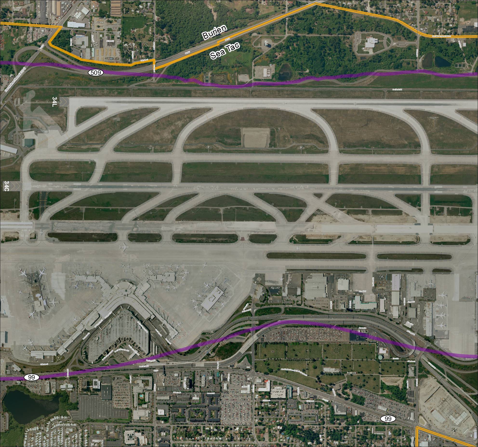
Grid 3 2013 Baseline Map: Sea-Tac Airport Runways and Surrounding Area
This aerial map depicts Seattle-Tacoma International Airport (Sea-Tac) and its surrounding communities of Burien and SeaTac, showing the airport's runway layout including runways 34L and 34C, along with key roadways such as SR 99, SR 509, and various access roads. Highlighted routes in purple and orange appear to mark designated corridors or boundary lines relevant to airport planning or noise study areas. The map provides a geographic reference for understanding the airport's footprint and its relationship to neighboring residential and commercial zones. -
2013-01-01
Grid 3 2013 Baseline Map: Sea-Tac Airport Runways and Surrounding Area
Aerial satellite map labeled ‘Grid3_2013Baseline’ showing Sea-Tac Airport (KSEA) runways 34L and 34C, terminal area, cargo facilities, and surrounding roadways including SR 509, SR 99, Des Moines Memorial Dr S, S 176th St, S 160th St, S 166th St, Airmail Rd, Perimeter Rd, Air Cargo Rd, and Access Rd. Map shows boundary between Burien and -
2010-01-01
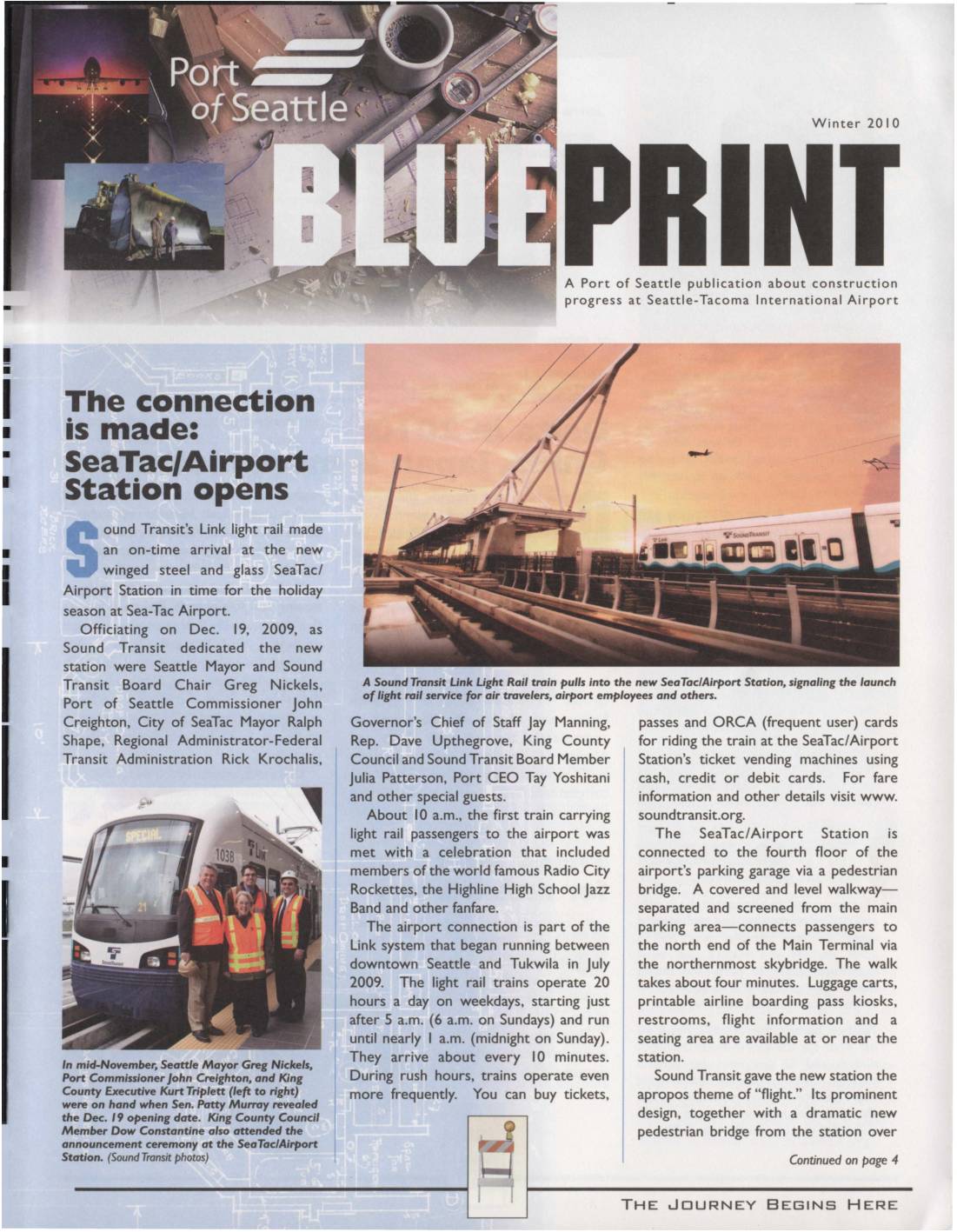
Blueprint Winter 2010: Sea-Tac/Airport Station Opens, Runway Reconstruction, and Construction Updates
A Port of Seattle publication about construction progress at Sea-Tac Airport