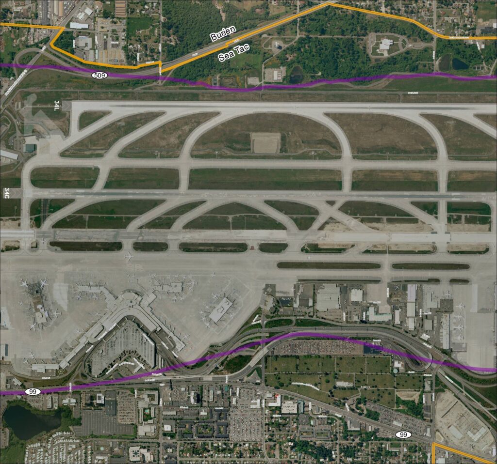
This aerial map depicts Seattle-Tacoma International Airport (Sea-Tac) and its surrounding communities of Burien and SeaTac, showing the airport's runway layout including runways 34L and 34C, along with key roadways such as SR 99, SR 509, and various access roads. Highlighted routes in purple and orange appear to mark designated corridors or boundary lines relevant to airport planning or noise study areas. The map provides a geographic reference for understanding the airport's footprint and its relationship to neighboring residential and commercial zones.Open full document
Notes
Aerial satellite map labeled ‘Grid3_2013Baseline’ showing Sea-Tac Airport (KSEA) runways 34L and 34C, terminal area, cargo facilities, and surrounding roadways including SR 509, SR 99, Des Moines Memorial Dr S, S 176th St, S 160th St, S 166th St, Airmail Rd, Perimeter Rd, Air Cargo Rd, and Access Rd. Map shows boundary between Burien and SeaTac municipalities. Overlaid route lines in purple and orange/yellow appear to depict ST Light Rail and SR 509 alignments. Part of a grid-based baseline mapping series for the Sea-Tac Airport area circa 2013.