TagConstruction(153)
-
 2001-06-22
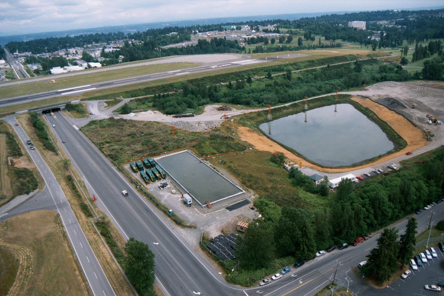
Aerial View of Construction Site With Retention Ponds and Highway Tunnel Portal Near Sea-Tac Airport Runway
Aerial photograph showing a construction or industrial site featuring retention/settling ponds, equipment staging areas, and what appears to be a water treatment or filtration facility alongside a multi-lane highway with a tunnel portal. An airport runway is visible in the background, consistent with the Sea-Tac Airport vicinity. -
 2001-06-22
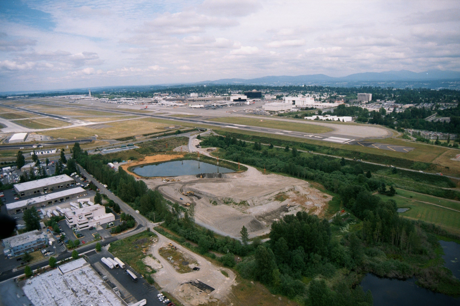
Aerial View of Sea-Tac Airport with Southern Perimeter Construction Site and Retention Pond
Aerial photograph looking north toward Seattle-Tacoma International Airport showing runways, terminal area, and aircraft on the ramp. In the foreground, a large graded construction site with a retention pond is visible adjacent to industrial/commercial buildings, suggesting significant ground development activity near the airport's southern perimeter. -
 2001-06-22
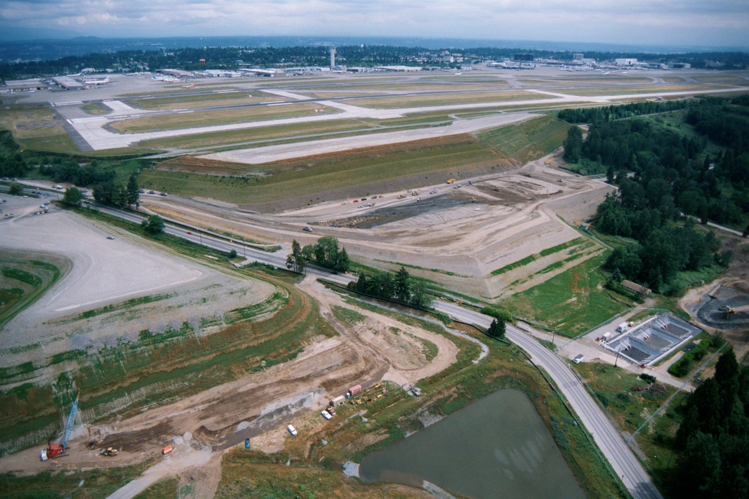
Aerial View of Construction and Earthwork Adjacent to Sea-Tac Airport Runways
Aerial photograph showing active grading and earthwork construction adjacent to a major commercial airport with multiple parallel runways visible in the background. Construction equipment, retention ponds, and a road corridor are visible in the foreground, consistent with runway or infrastructure expansion work at a Pacific Northwest airport. -
 2001-06-22
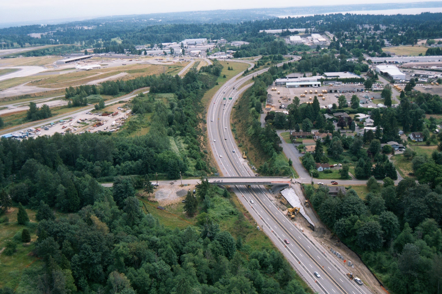
Aerial View of Highway Construction Near Sea-Tac Airport
Aerial photograph showing a multi-lane highway (likely Interstate 5 or SR-518) undergoing construction or widening near what appears to be Seattle-Tacoma International Airport, visible in the upper left with its runways and terminal facilities. A bridge overpass is under construction, with heavy equipment visible alongside the roadway corridor. -
 2001-06-22
Aerial View of Highway and Airport Runway Adjacent to Active Construction Site
Aerial photograph showing a multi-lane highway (likely Interstate 5 or SR-99) adjacent to an airport runway, with active construction including a retention/detention pond, crane towers, and a partially completed building. The scene suggests infrastructure or noise-mitigation related development near the airport perimeter. -
 2001-06-22
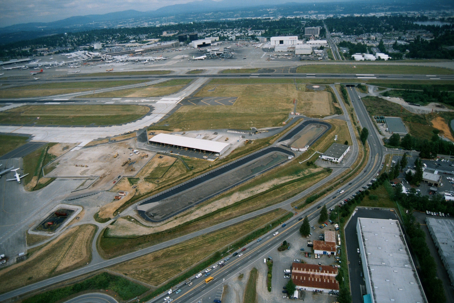
Sea-Tac Airport Aerial View Showing Terminal, Runways, and Groundside Construction
Aerial photograph showing Seattle-Tacoma International Airport with active runways, terminal gates, and what appears to be a significant ground-side construction project in the foreground, including new roadways, drainage channels, and a large facility building under development. Surrounding commercial and residential areas of the SeaTac/Burien area are visible, along with multiple aircraft at gates. -
 2001-06-22
Aerial View of Earthwork and Stormwater Basin Construction Near Sea-Tac Airport Runways
Aerial photograph showing large-scale earthwork and grading activity adjacent to airport runways, with what appears to be a stormwater detention or treatment facility (rectangular basin) under construction in the foreground. Construction equipment is visible across the graded area, and the site borders a wooded residential neighborhood and a road intersection. -
 2001-06-22
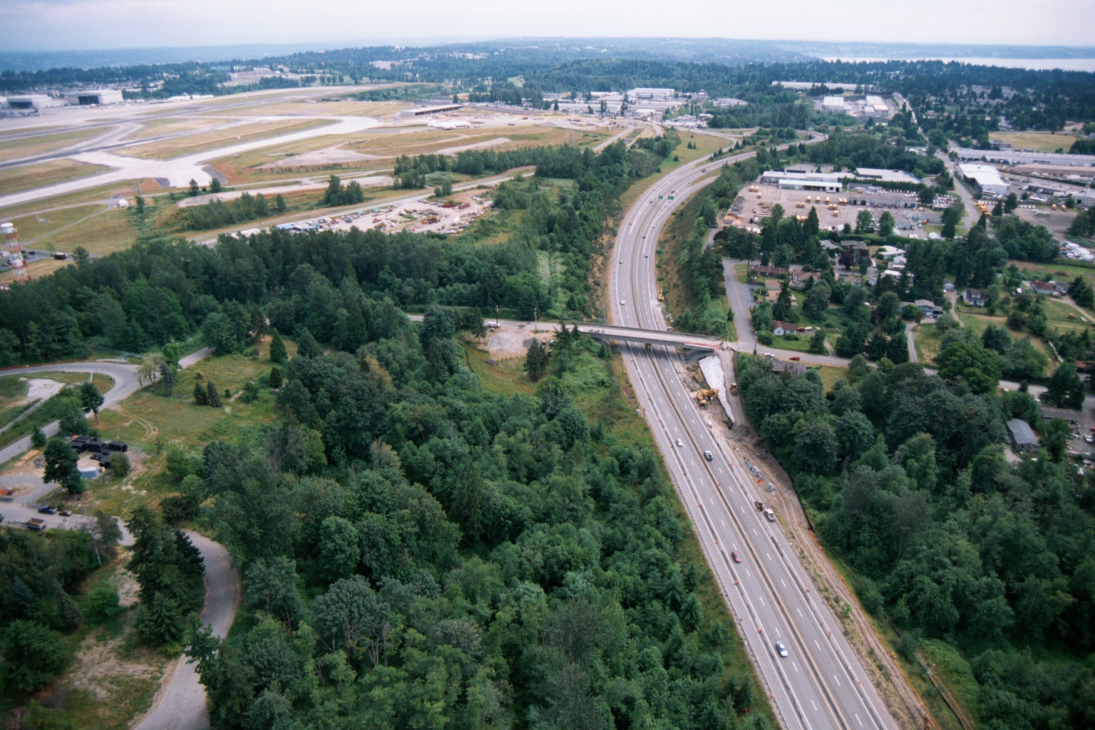
Aerial View of Highway Construction Adjacent to Sea-Tac Airport
Aerial photograph showing a multi-lane highway (likely Interstate 5 or SR-99) undergoing construction or widening adjacent to what appears to be Seattle-Tacoma International Airport, visible in the upper left with its runways and terminal facilities. A bridge overpass is under construction mid-frame, with heavy equipment visible, surrounded by forested areas and suburban development. -
 2001-06-22
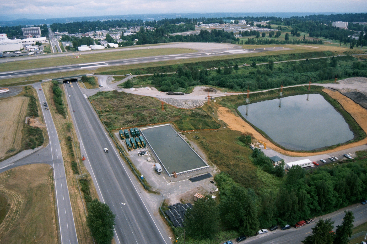
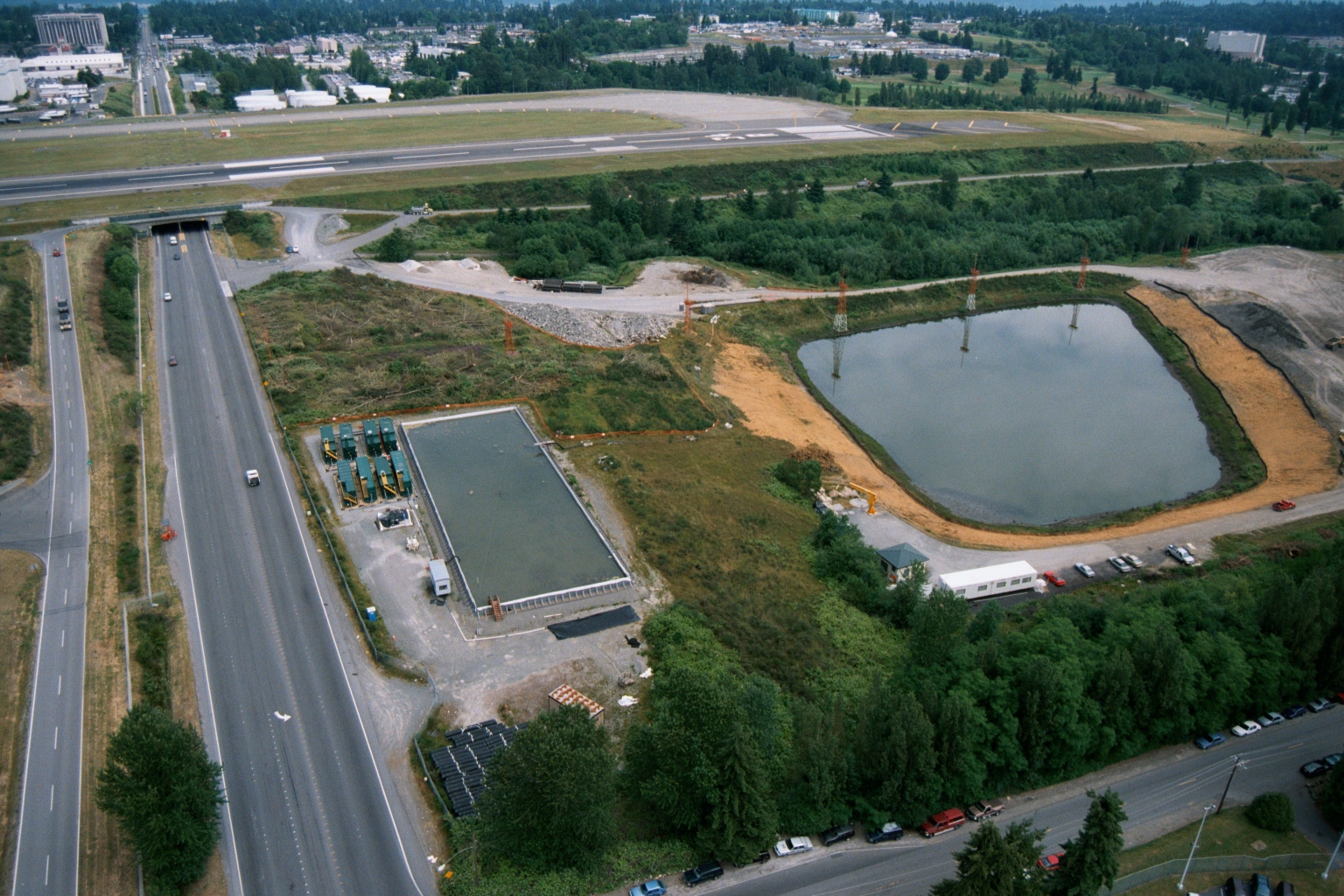
Aerial View of Highway Tunnel Underpass and Construction Near Sea-Tac Airport Runway
Aerial photograph showing a highway corridor with a tunnel underpass beneath an airport runway, alongside active construction including a retention/detention pond, a rectangular concrete structure or basin, and portable site facilities. The airport runway and surrounding developed areas are visible in the background, consistent with infrastructure work in the Sea-Tac Airport vicinity. -
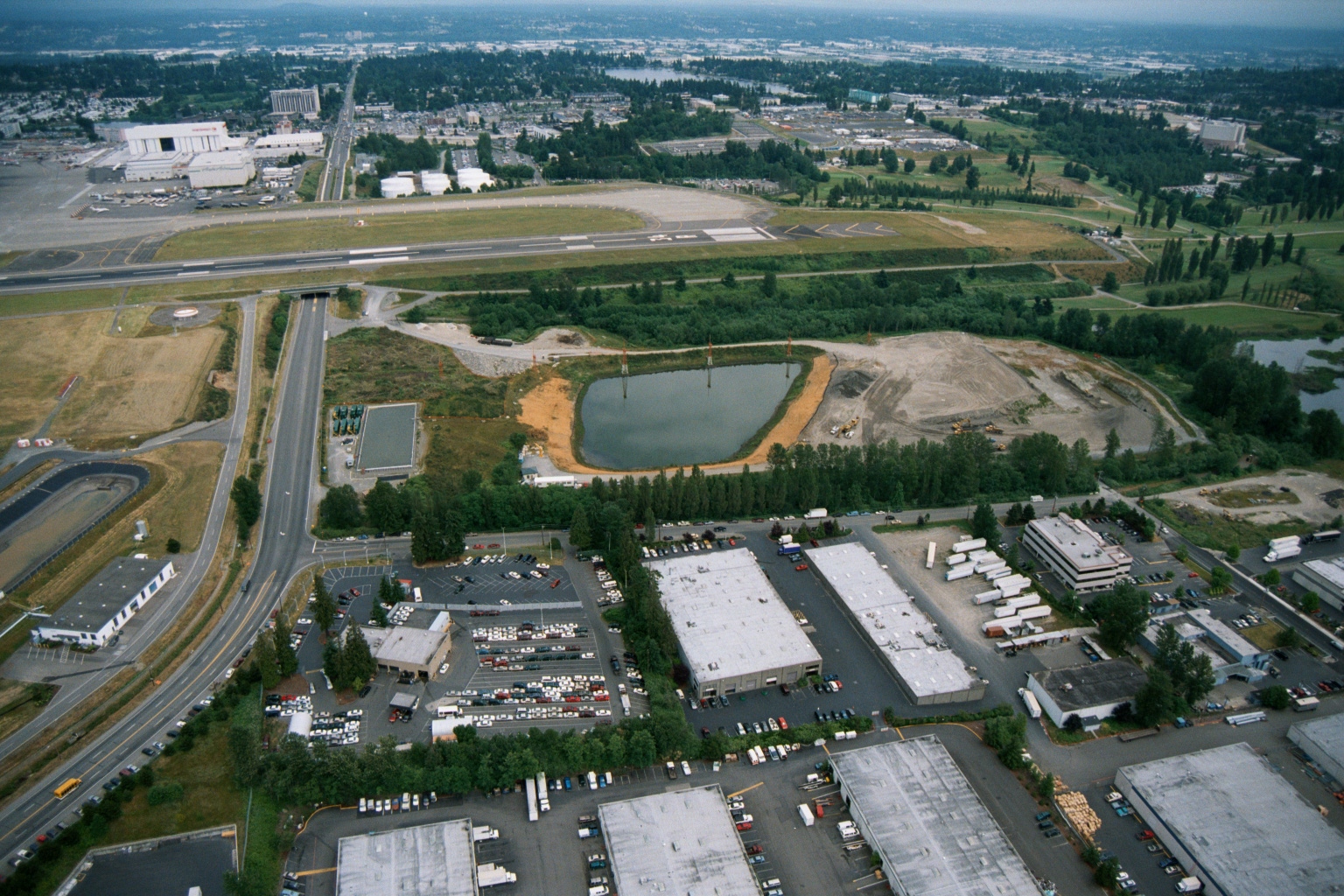 2001-06-22
Sea-Tac Airport Runway and Stormwater Pond Construction with Adjacent Industrial Facilities
Aerial photograph showing a runway and taxiway system in the upper portion of the frame, with a retention or stormwater pond under apparent construction or remediation in the mid-ground. The foreground shows warehouse and distribution facilities with truck loading areas, parking lots, and a multi-story office building, consistent with an airport-adjacent industrial zone.