TagConstruction(153)
-
 2001-06-22
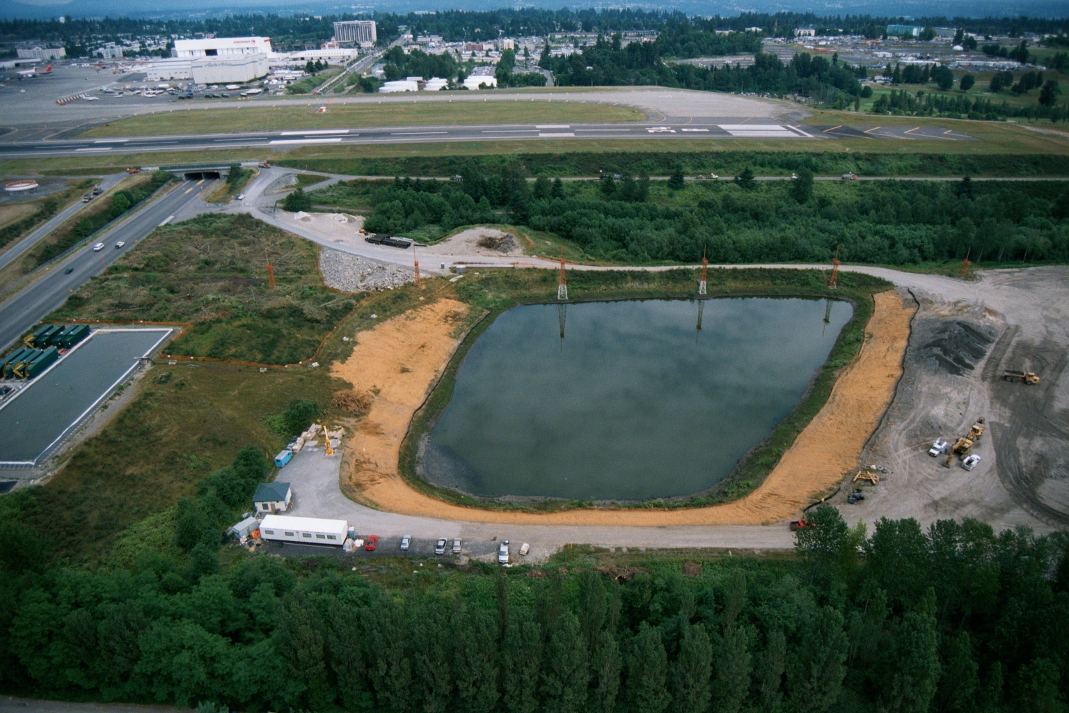
Aerial View of Retention Pond Under Construction at Sea-Tac Airport
Aerial photograph showing a large oval retention or settling pond under active construction, with construction equipment visible along its perimeter. In the background, an airport runway and taxiway are visible, along with a large white aircraft maintenance or assembly facility bearing a partially visible red logo consistent with a major airline. -
 2001-06-22
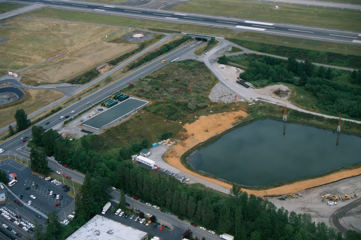
Aerial View of Construction and Retention Pond Adjacent to Sea-Tac Airport Runway
Aerial photograph showing active construction activity adjacent to an airport runway, featuring a large retention or detention pond with sandy berms, a flat-roofed structure under development, road infrastructure with a tunnel underpass, and commercial/parking areas in the foreground. The proximity to runway markings and airport taxiway infrastructure is consistent with Sea-Tac Airport environs. -
 2001-06-22
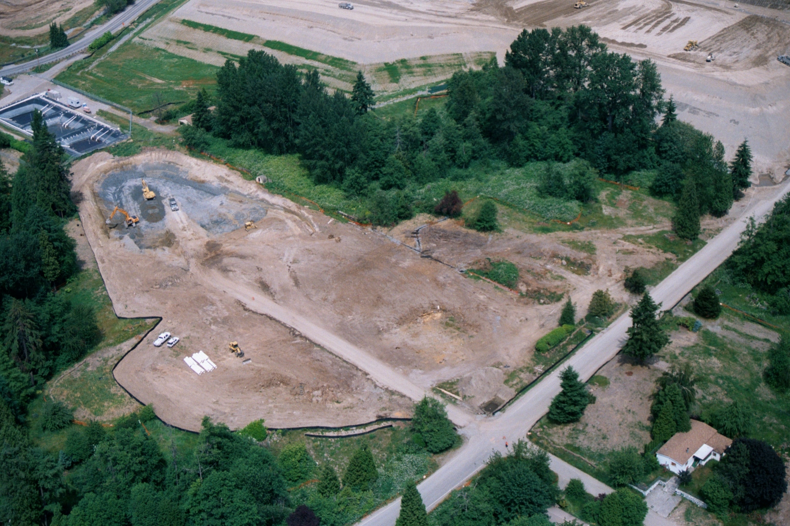
Aerial View of Cleared Construction Site With Earthmoving Equipment
An aerial photograph shows a large cleared construction site with active earthmoving equipment including excavators and bulldozers. The site is surrounded by evergreen trees, with what appears to be a water treatment facility visible in the upper left and a residential property in the lower right corner. -
 2001-06-22
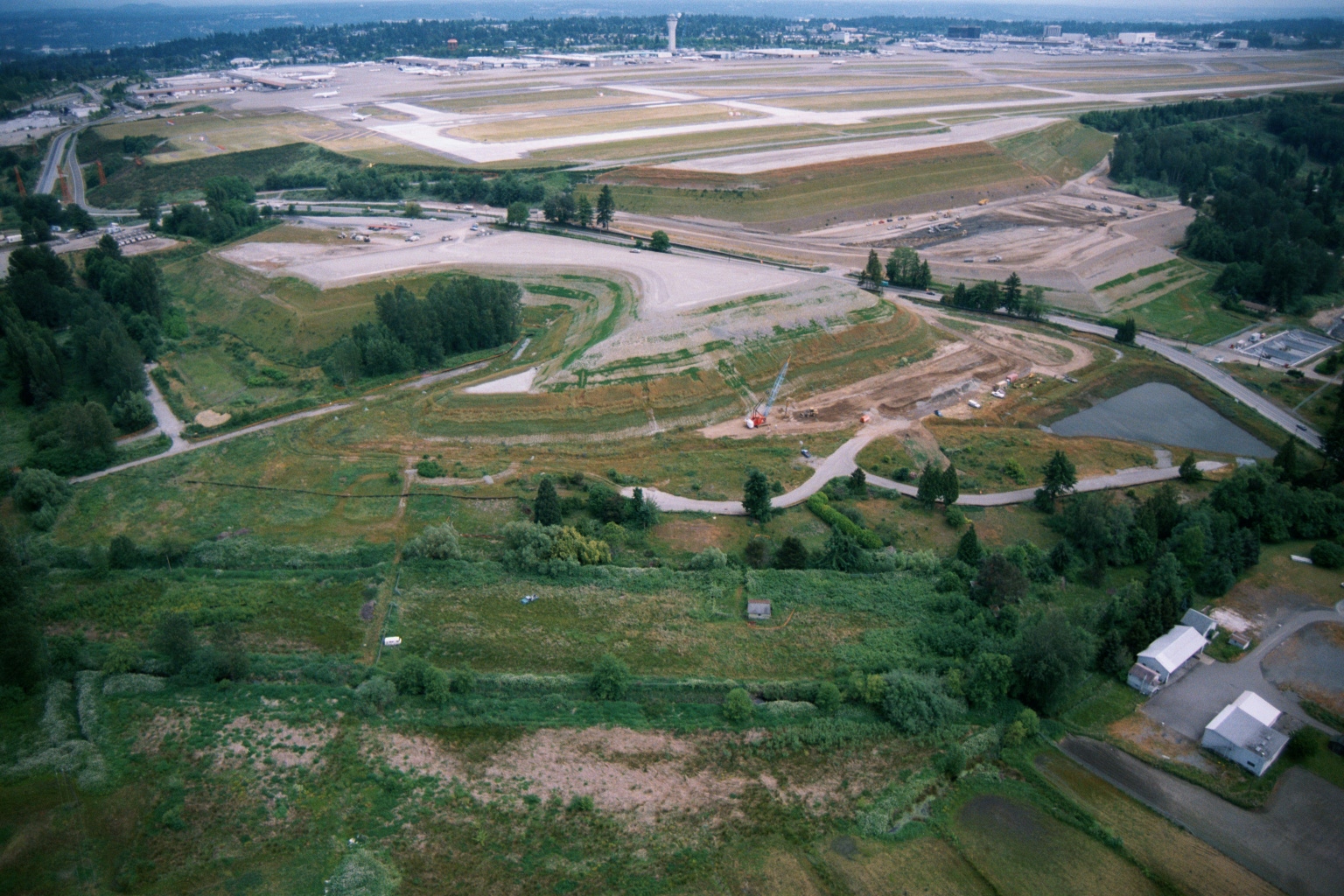
Aerial View of Construction and Grading Work Adjacent to Sea-Tac Airport Runways
Aerial photograph showing active grading and construction work adjacent to Seattle-Tacoma International Airport runways, with a crane visible at a construction site in the foreground. The image shows the airport's runway system in the background alongside undeveloped green space, wetlands, and scattered structures to the south or west of the airfield. -
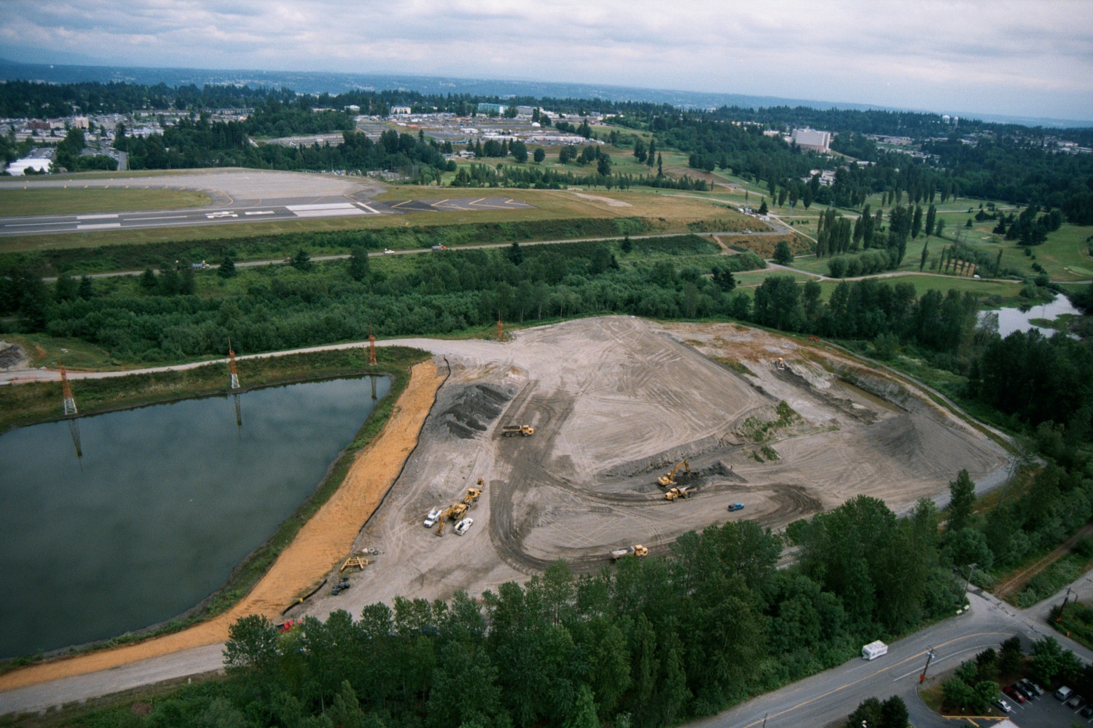 2001-06-22
Aerial View of Earthmoving and Grading Operations Near Airport Runway
Aerial photograph showing active earthmoving and grading operations on a large cleared site next to what appears to be a general aviation airport runway. A retention or sedimentation pond is visible to the left of the construction area, with heavy equipment scattered across the graded terrain and a suburban landscape visible in the background. -
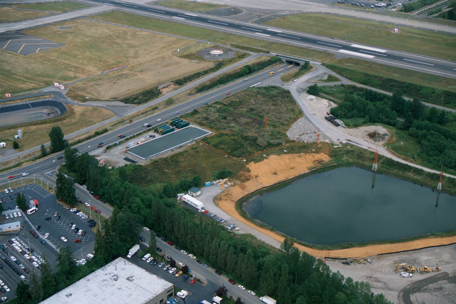 2001-06-22
Aerial View of Construction Zone Near Sea-Tac Airport Runway With Retention Pond and Heavy Equipment
Aerial photograph showing an active construction zone adjacent to a major airport runway system, featuring a retention/stormwater pond, graded earthworks, a low-profile building under construction, and heavy equipment. A road underpass beneath the runway approach area and surrounding commercial/industrial parking lots are also visible. -
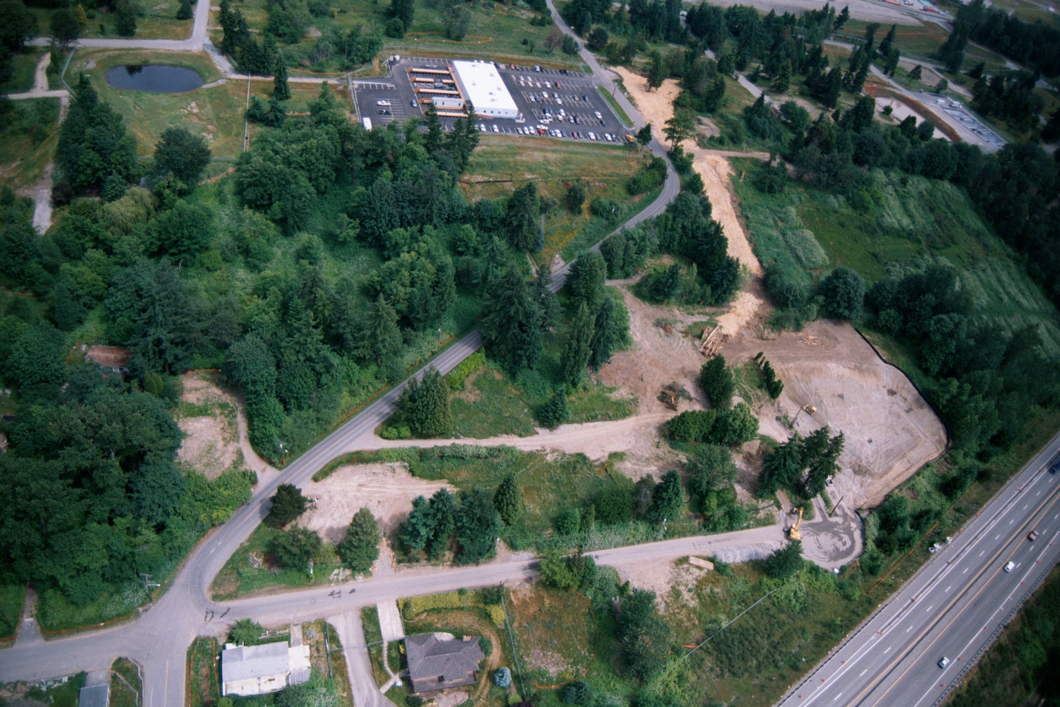 2001-06-22
Aerial View of Land Clearing and Grading Operations Near Highway
Aerial photograph showing active land clearing and grading operations adjacent to a multi-lane highway (visible at right), with a commercial building and parking lot visible in the upper center. The site shows exposed soil, construction equipment, dirt access roads, and surrounding forested areas consistent with pre-development site preparation, potentially related to airport noise buffer land acquisition or compatible land use development. -
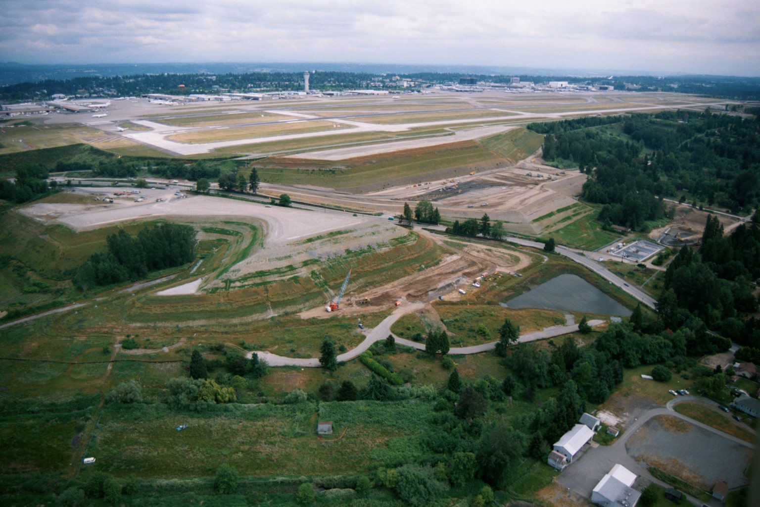 2001-06-22
Aerial View of Third Runway Construction at Sea-Tac Airport
Aerial photograph looking north toward Seattle-Tacoma International Airport, showing active runway construction and grading work on what appears to be the third runway project area. The main terminal, control tower, and existing parallel runways are visible in the background, with construction equipment and disturbed earth in the foreground adjacent to residential and forested areas to the south. -
 2001-06-22
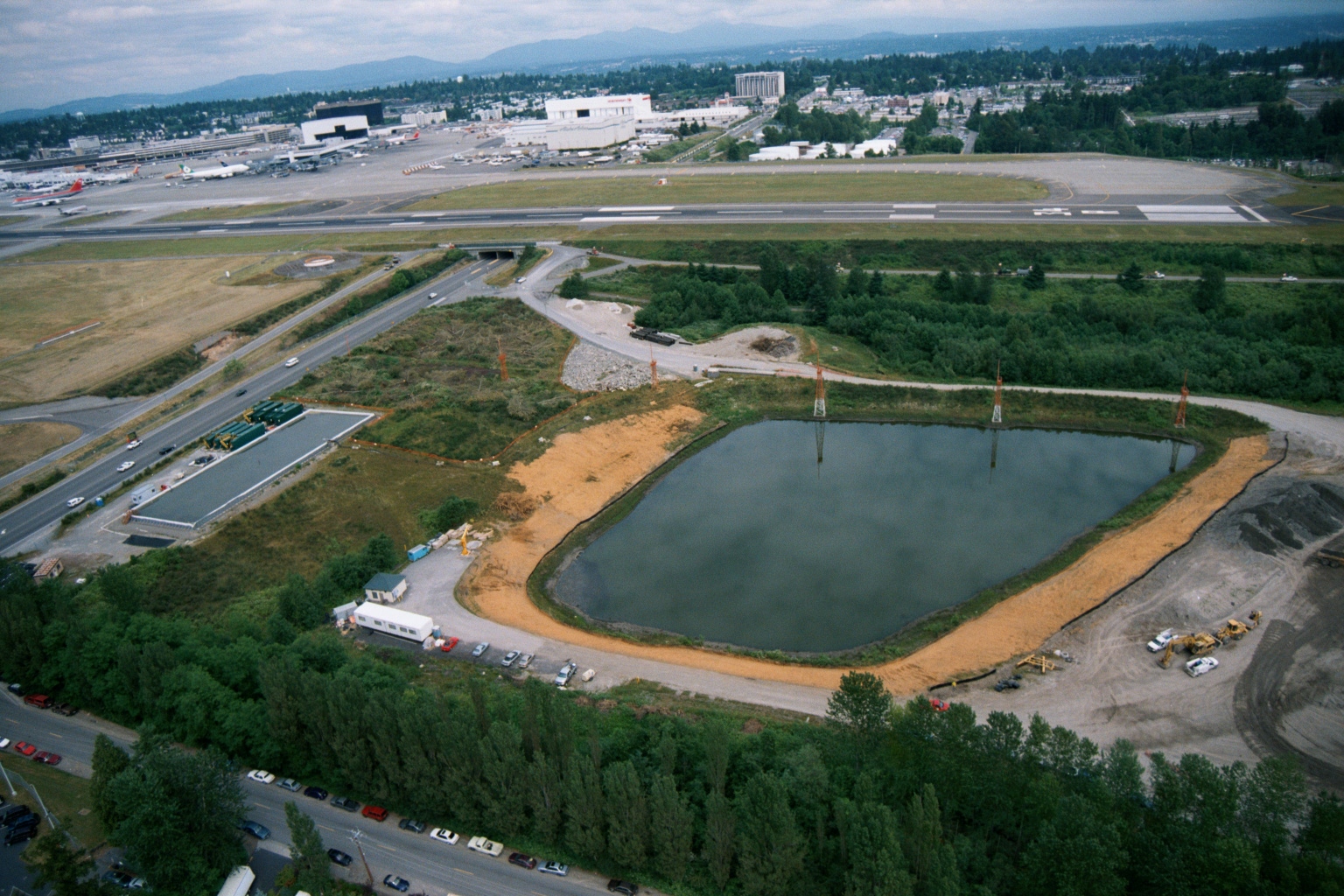
Aerial View of Stormwater Detention Pond Under Construction Near Sea-Tac Airport
Aerial photograph showing a large engineered stormwater or detention pond under active construction adjacent to what appears to be Sea-Tac Airport, with a runway, terminal buildings, and aircraft visible in the background. Construction equipment, temporary structures, and disturbed soils are visible around the pond perimeter, suggesting this documents infrastructure development in the airport vicinity. -
 2001-06-22
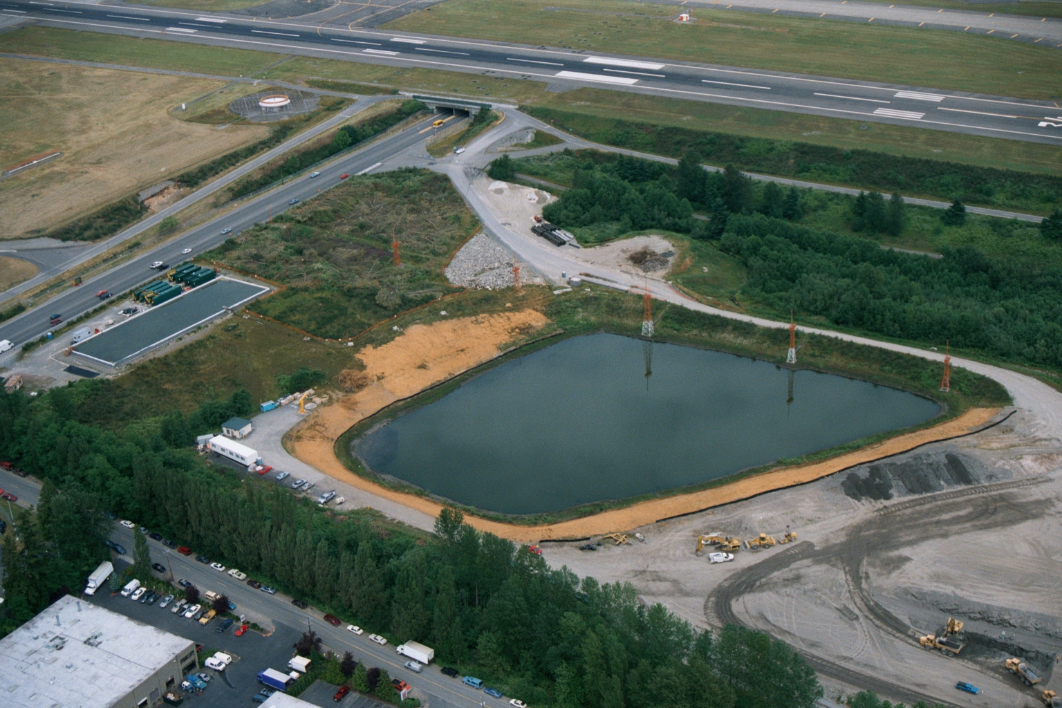
Aerial View of Retention Pond Construction at Sea-Tac Airport
Aerial photograph showing a large retention or detention pond under active construction adjacent to what appears to be an airport runway and taxiway. Heavy equipment, graded earth, and what appear to be water treatment or stormwater management facilities are visible, consistent with airport infrastructure development or environmental mitigation work.