TagAirport(197)
-
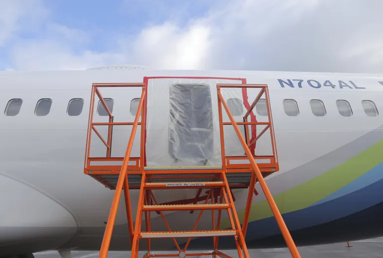 2024-01-27
Aircraft Maintenance Access Platform at Airport
Aircraft registered N704AL, bearing a blue, green, and yellow livery consistent with Aloha Air Cargo, is shown with an orange maintenance access stairway positioned at a fuselage door. The door appears covered with protective plastic sheeting, suggesting maintenance or ground servicing operations. -
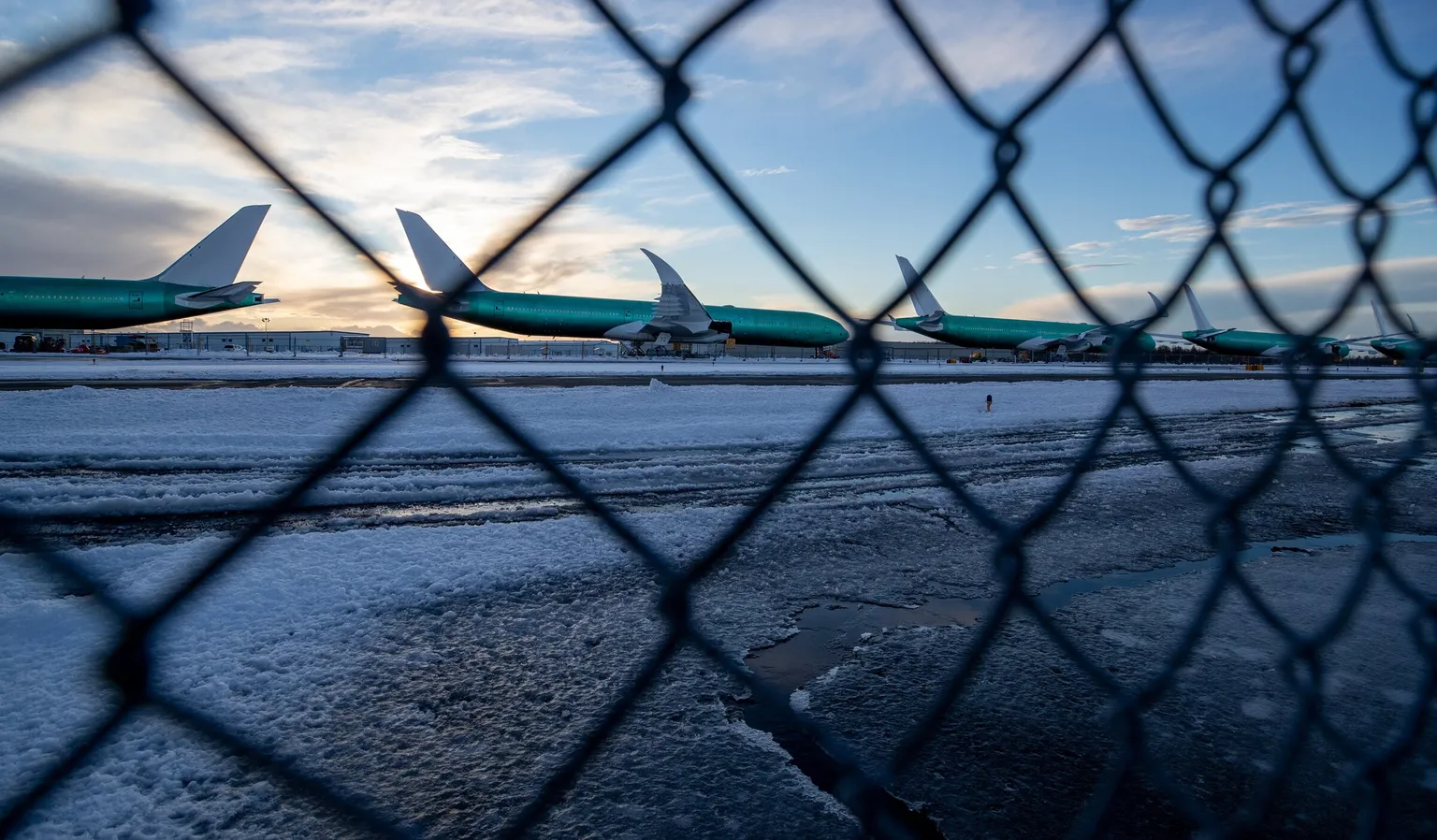 2024-01-21
Aircraft on Airport Tarmac Through Chain-Link Fence
Multiple large commercial aircraft in green primer/unpainted livery are lined up behind a chain-link security fence on a snow- and ice-covered tarmac. The aircraft appear to be Boeing widebody jets in storage or awaiting delivery, photographed at dusk or dawn. -
 2024-01-21
Aircraft Assembly or Maintenance Facility
A wide-body commercial aircraft is shown in what appears to be a manufacturing or maintenance hangar. Visible text on scaffolding/equipment includes the words 'COMMUNITY' and 'dangerous,' suggesting an active industrial workspace. -
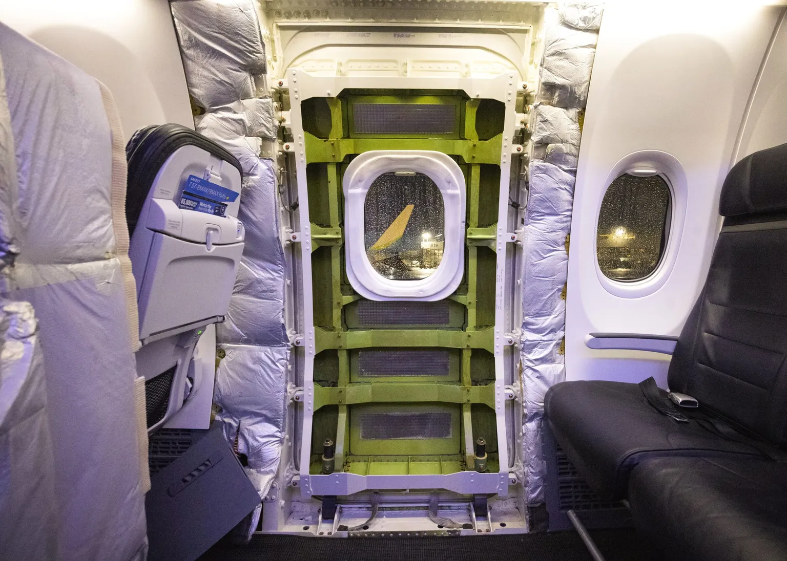 2024-01-20
Aircraft Interior Emergency Exit Configuration
Interior view of a Boeing 737 MAX 9 showing the door plug opening after it separated in flight, exposing the bare fuselage frame and insulation. A safety card visible on the left seat back references '737-9MAX/9MAX RU/P,' consistent with the January 2024 Alaska Airlines Flight 1282 door plug blowout incident; the yellow winglet visible through the remaining window suggests an Alaska Airlines or Spirit Airlines livery aircraft on the ground. -
 2024-01-20
NTSB Investigators Examining Aircraft Parts
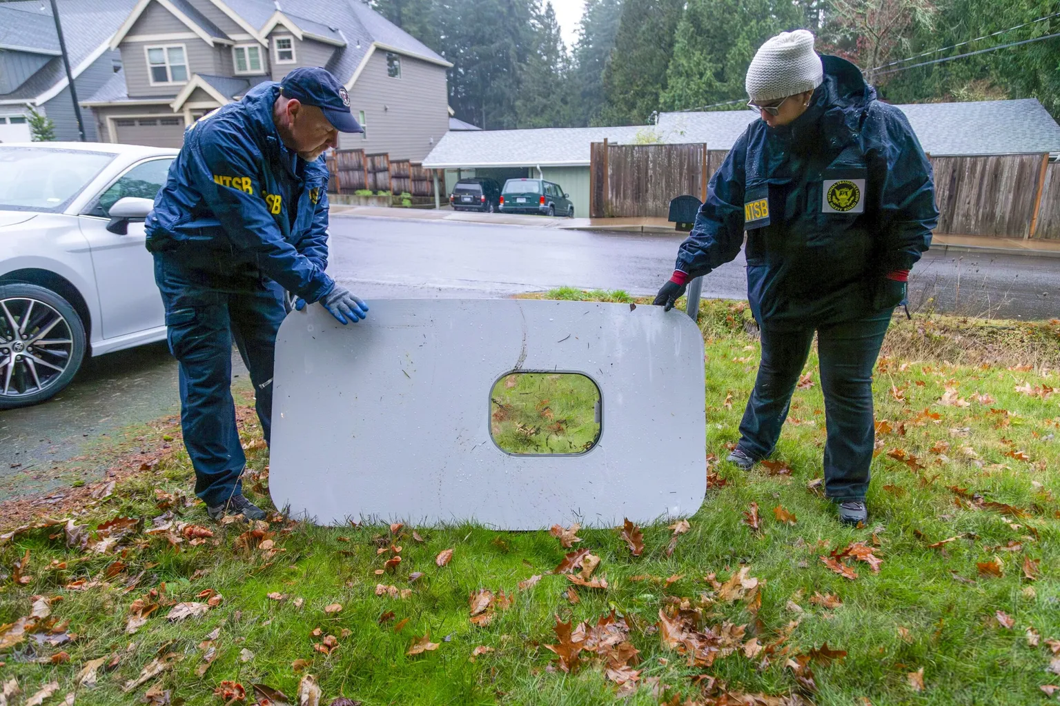
Two NTSB (National Transportation Safety Board) investigators, identifiable by their agency-marked jackets, handle a fuselage door plug panel — with a window cutout visible — recovered in a residential neighborhood. This corresponds to the January 2024 Alaska Airlines Flight 1282 incident in which a door plug blew out of a Boeing 737 Max 9 shortly after takeoff from Portland International Airport. -
 2024-01-20
Flight Departures Board – April 01
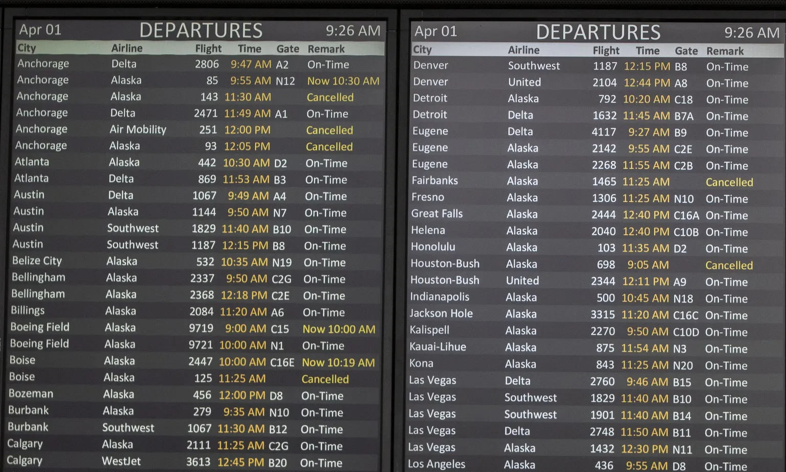
Departure board photographed at 9:26 AM on April 1 showing scheduled flights from Seattle-Tacoma International Airport. Airlines operating listed flights include Alaska, Delta, Southwest, United, WestJet, and Air Mobility, with destinations ranging from Anchorage to Las Vegas; several flights are marked Cancelled or delayed, including Alaska flights 143, 251, 93 (Anchorage), 125 (Boise), and 1465 (Fairbanks), and Alaska 698 to Houston-Bush. -
 2023-12-27
Seattle Cityscape with Mount Rainier
Aerial view of Seattle, Washington, showing Lake Union in the foreground with a marina and waterfront buildings, the University of Washington campus area visible in the midground, and snow-capped Mount Rainier dominating the background under stormy skies. The image appears to have been taken in autumn, based on the fall foliage visible throughout the cityscape. -
 2023-12-05
The Conference Center at Sea-Tac Airport: directions and parking
This document provides directions to The Conference Center at Seattle-Tacoma International Airport, which is located on the mezzanine level above checkpoint #1. It includes instructions for arriving by car from multiple directions, by Link Light Rail, from a flight gate, by drop-off, and by hotel shuttle, all guiding visitors to the International ticketing counter area and up to the mezzanine level. Parking validation is available only in General Parking floors 3 and 5-8, and not all groups qualify for validation. -
 2023-09-25
Wetland Area Near Airport with Aircraft
A tidal or riparian wetland restoration site with planted vegetation stakes, downed logs, and standing water is shown in the foreground. In the background, numerous narrow-body commercial jets with red and orange tail liveries are parked on an aircraft storage ramp, consistent with the Boeing Renton facility or a Sea-Tac adjacent apron area. -
 2023-09-16
Alaska Airlines Aircraft Landing
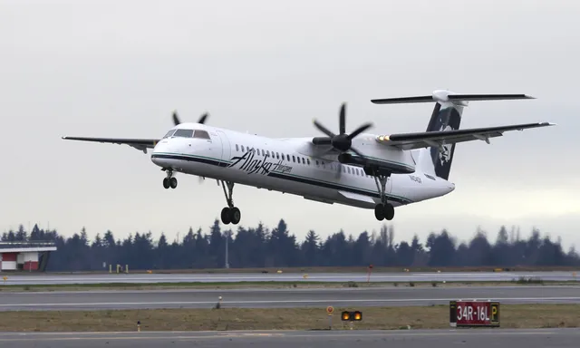
An Alaska Airlines/Horizon Air Bombardier DHC-8-400 (Q400) turboprop aircraft is shown on takeoff roll or rotation at Seattle-Tacoma International Airport, runway 34R/16L visible in the foreground. The aircraft bears the Alaska Airlines livery with 'Alaska Horizon' text and the distinctive Eskimo logo on the tail.