TagSeattle(33)
-
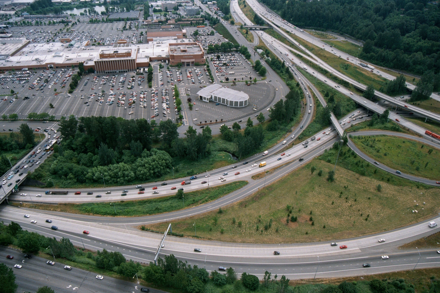 2001-06-22
Aerial View of Regional Shopping Mall with Freeway Interchange, Pacific Northwest
Aerial photograph showing a large regional shopping mall with extensive surface parking lots alongside a complex multi-level freeway interchange. Visible signage on the mall building appears to read 'The Bon Marché' and 'Nordstrom,' suggesting this may be Bellevue Square or a similar Pacific Northwest suburban mall near Seattle. -
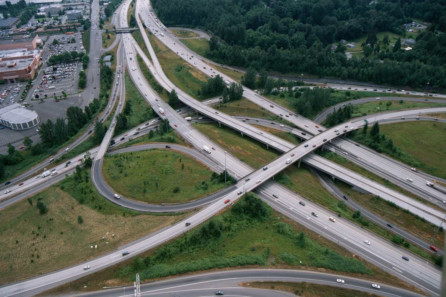 2001-06-22
Aerial View of Urban Freeway Interchange Near Seattle
Aerial photograph of a large multi-level highway interchange surrounded by green vegetation, with a commercial/retail area visible in the upper left including what appears to be a Sears store and associated parking lots. The interchange handles multiple directional traffic flows via elevated ramps and overpasses, consistent with a major urban freeway junction in the Seattle/Puget Sound region. -
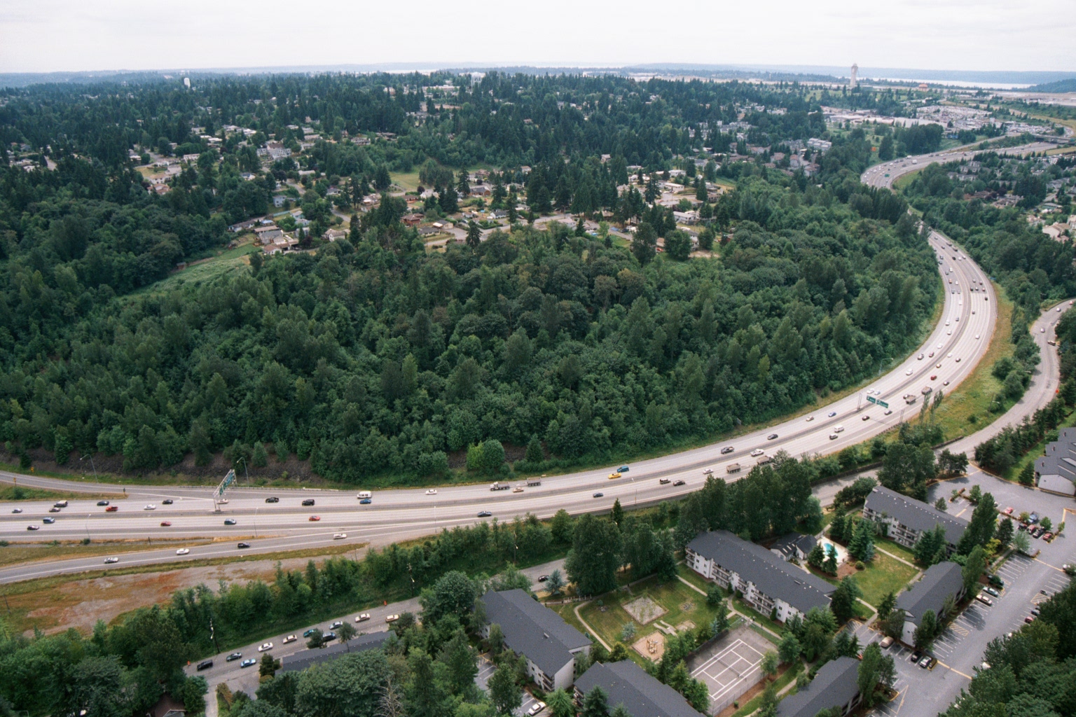 2001-06-22
Aerial View of Freeway Through Forested Suburban Landscape Near Puget Sound
Aerial photograph showing a wide multi-lane freeway curving through a densely forested suburban landscape, with residential apartment complexes visible in the foreground and a body of water visible on the horizon. A green highway exit sign is partially visible, and the scene is consistent with the greater Seattle/Puget Sound region based on the vegetation, terrain, and distant water views. -
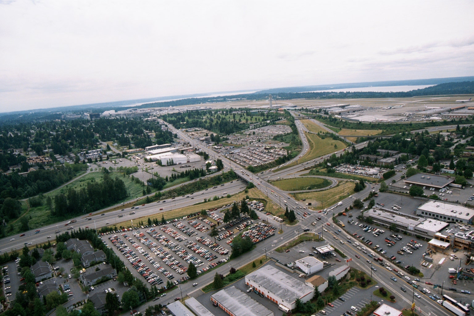 2001-06-22
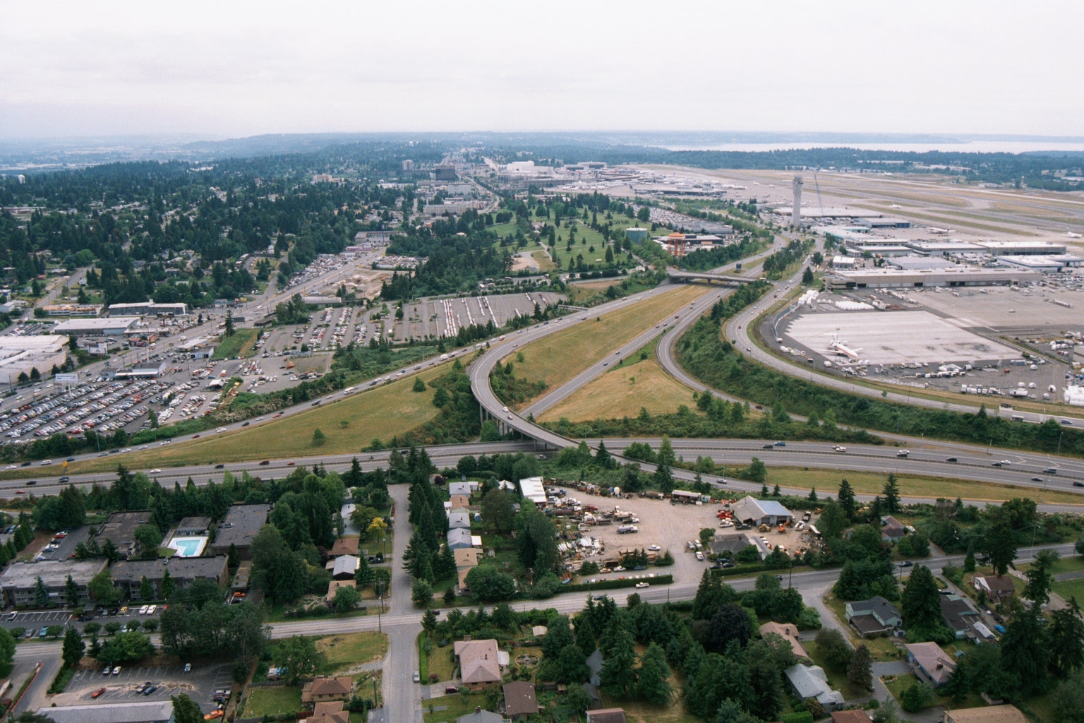
Aerial View of Sea-Tac Airport and SR-99 Corridor Looking North
Aerial photograph looking northward toward Seattle-Tacoma International Airport (visible in the upper right background with runways and terminal facilities). The foreground shows the intersection of what appears to be SR-99 (Pacific Highway South) and local roads, with large surface parking lots, Interstate 5, and suburban commercial and residential development characteristic of the SeaTac/Tukwila area. -
 2001-06-22
Aerial View of Sea-Tac Airport, Interstate 5, and Surrounding Communities
Aerial photograph looking northward toward Seattle-Tacoma International Airport (SEA-TAC), showing the airport terminal, control tower, runways, and aircraft gates on the right, with Interstate 5 interchange in the foreground and Puget Sound visible on the horizon. Residential neighborhoods, commercial properties, and parking areas in the cities of SeaTac or Des Moines are visible in the foreground, illustrating the airport's proximity to surrounding communities relevant to noise-impact planning. -
 2001-06-22
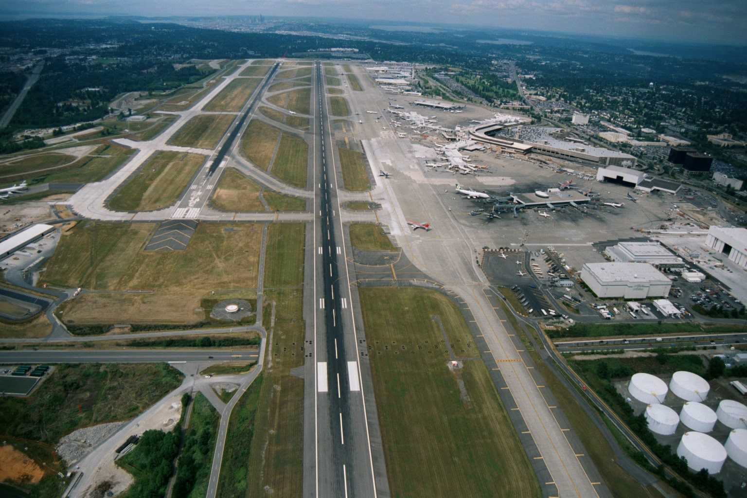
Aerial View of Sea-Tac Airport Looking North Toward Seattle and Puget Sound
Aerial photograph looking northward over Seattle-Tacoma International Airport, showing parallel runways, terminal complex with gates and aircraft at jetways, fuel storage tanks in the lower right, and the Seattle skyline and Puget Sound visible in the background. The image appears to date from the 1990s based on terminal configuration and aircraft liveries visible at the gates. -
 2001-06-22
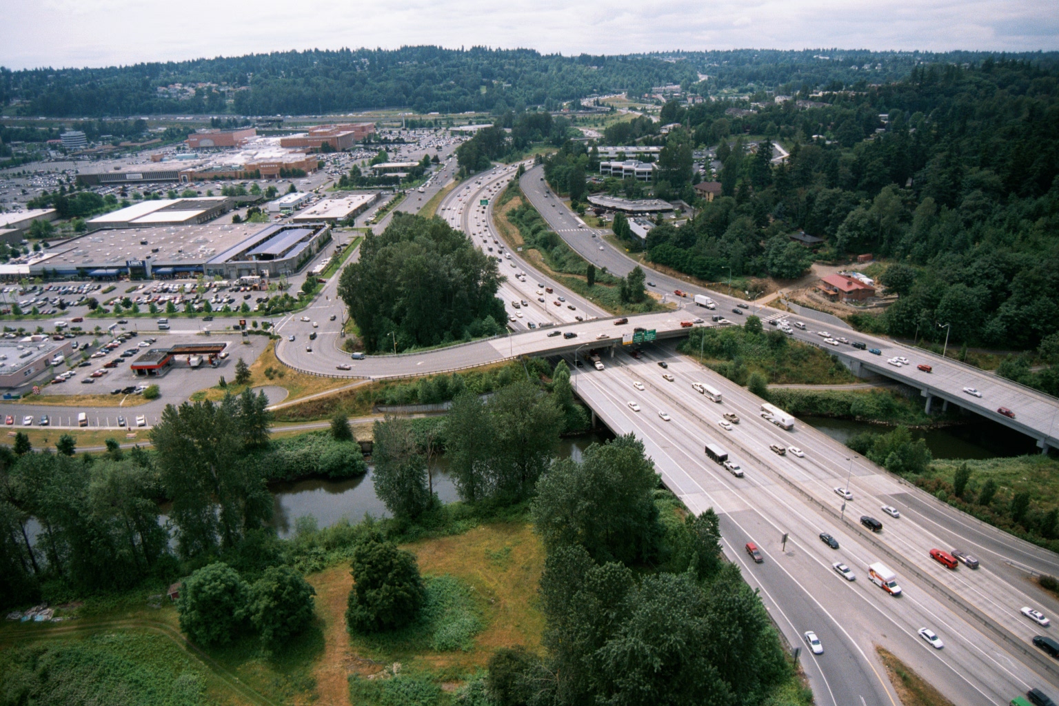
Aerial View of Interstate Highway, Shopping Mall, and Conifer Forest in the Greater Seattle Region
Aerial photograph showing a major interstate highway (appearing to be I-405 or similar Pacific Northwest freeway based on landscape and infrastructure style) crossing a small river or creek, with a large shopping mall and surface parking lots visible to the left. The surrounding terrain features dense conifer forests consistent with the greater Seattle/Puget Sound region. -
 2001-06-22
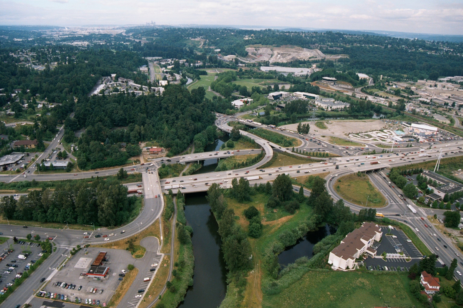
Aerial View of Highway Interchange Near Seattle
Aerial photograph showing a major highway interchange where a multi-lane freeway crosses a river or creek, surrounded by mixed commercial and residential development with dense tree cover. A skyline consistent with Seattle is faintly visible in the background, suggesting this may be a suburban area south or east of Seattle, possibly along I-405 or a similar corridor. -
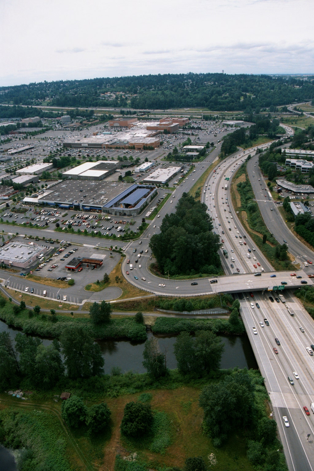 2001-06-22
Aerial View of Interstate Freeway Bridge Over River Near Suburban Shopping Mall, Greater Seattle Area
Aerial photograph showing a multi-lane highway (appearing to be an Interstate freeway) with a bridge crossing over a small river or slough, flanked by a large suburban shopping mall complex with extensive surface parking lots. Dense residential neighborhoods and forested hillsides are visible in the background, consistent with the greater Seattle/Puget Sound region. -
 1997-09-12
EXH AR023208: Sediment Characterization Hamm Creek Restoration Project Duwamish Turning Basin
This 1997 report by Science Applications International Corporation characterizes sediment quality in the Duwamish Turning Basin near Seattle, Washington, as part of the Hamm Creek Restoration Project. It presents results from chemical testing, biological bioassays, and sediment sampling to evaluate contaminant levels and compare them against sediment management standards. The study was prepared for the U.S. Army Corps of Engineers, Seattle District.