TagLand Use(212)
-
 2026-08-28
Chapter 3 Urban Center Element
Chapter 3 of SeaTac's Envision SeaTac 2044 Comprehensive Plan outlines the Urban Center Element, establishing goals and policies for developing the area around SeaTac/Airport into an equitable, transit-oriented community. The chapter covers topics including regional collaboration, land use patterns, housing, transportation, non-motorized travel, and community design, organized under 13 goals. It also defines frameworks for regional growth centers and urban villages as centers of opportunity within the city. -
 2026-08-28
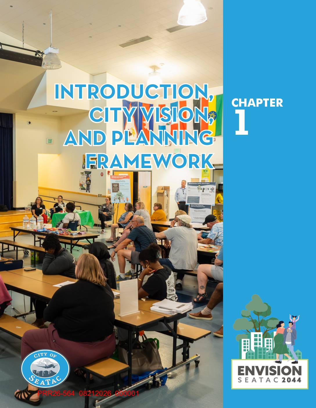
Chapter 1 Introduction, City Vision, and Planning Framework
The City of SeaTac's Comprehensive Plan, first adopted in 1994 and updated through 2024, serves as a long-range planning guide for the city through 2044, outlining community goals, land use policies, and steps for achieving them under Washington State's Growth Management Act. The plan is supported by three subarea plans covering the city's urban villages, including areas near light rail stations. Note: while this document covers SeaTac's broad planning framework, it does not specifically address airport noise policy. -
2026-08-28
Introduction, City Vision, and Planning Framework
The City of SeaTac's Comprehensive Plan, first adopted in 1994 and updated through 2024, serves as a long-range planning guide for the city through 2044, outlining community goals, land use policies, and steps for achieving them under Washington State's Growth Management Act. The plan is supported by three subarea plans covering the city's urban villages, including areas near light rail stations. Note: while this document covers SeaTac's broad planning framework, it does not specifically address airport noise policy. -
 2026-08-28
Housing & Human Services Background Report Appendices: Appendix A — Land Capacity Analysis Methodology Report
This document is an appendix to the Housing and Human Services Background Report for the City of Seattle's Comprehensive Plan, focusing on a Land Capacity Analysis Methodology Report. It examines how much land is available for housing development within the city. Note: this document does not appear to contain content specifically related to Sea-Tac Airport noise policy. -
 2026-08-28
Housing & Human Services Background Report Appendices: Appendix A — Land Capacity Analysis Methodology Report
This document is an appendix to the Housing and Human Services Background Report for the City of Seattle's Comprehensive Plan, focusing on a Land Capacity Analysis Methodology Report. It examines how much land is available for housing development within the city. Note: this document does not appear to contain content specifically related to Sea-Tac Airport noise policy. -
 2026-08-28
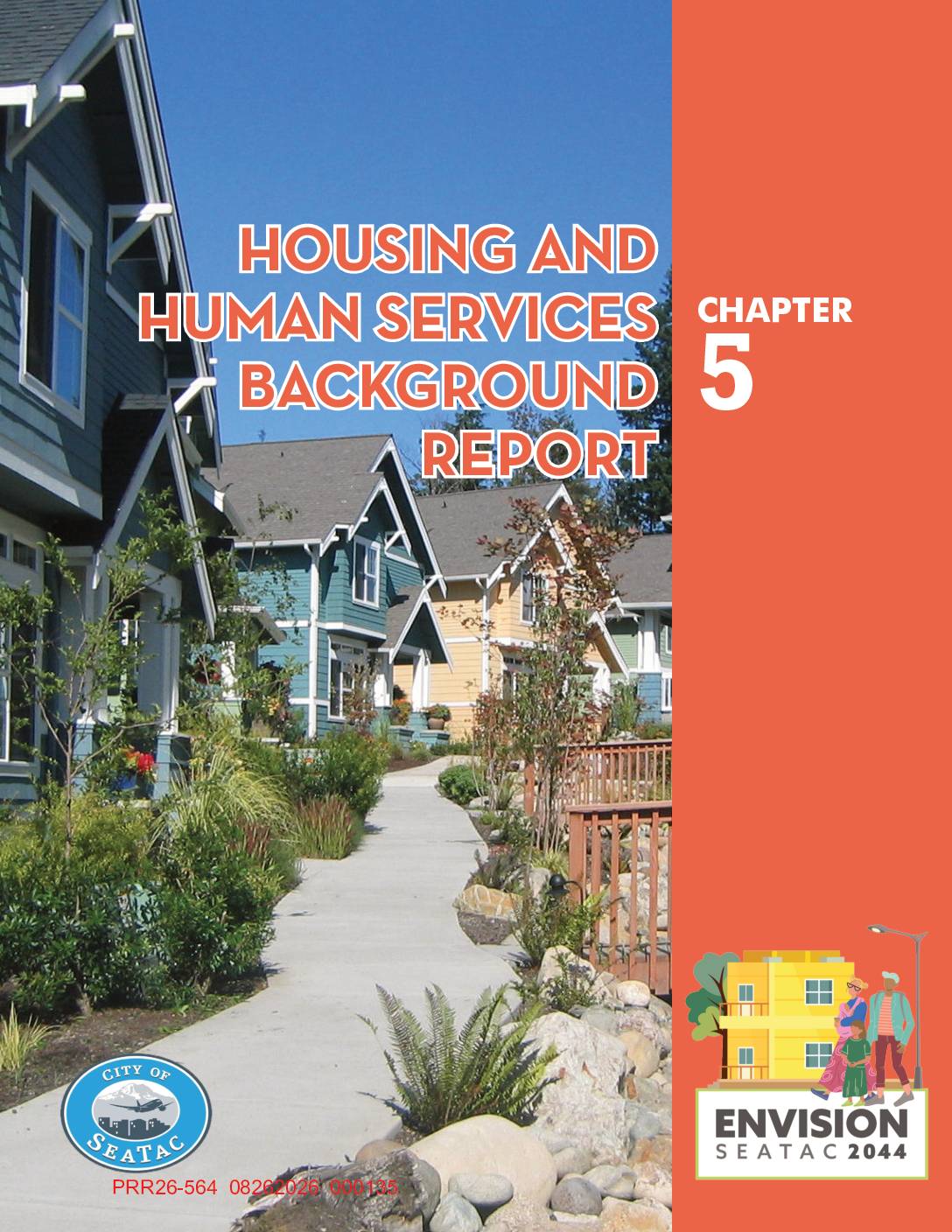
Chapter 5 Housing and Human Services Background Report
This document is Chapter 5 of the City of SeaTac's Comprehensive Plan, covering Housing and Human Services. It assesses local housing needs, demographics, housing costs, land capacity for new development, and racially disparate impacts of housing policies through 2044. The report also establishes housing growth targets and evaluates policy options to address affordability and equity challenges in the city. -
 2026-08-28
Chapter 5 Housing and Human Services Background Report
This document is Chapter 5 of the City of SeaTac's Comprehensive Plan, covering Housing and Human Services. It assesses local housing needs, demographics, housing costs, land capacity for new development, and racially disparate impacts of housing policies through 2044. The report also establishes housing growth targets and evaluates policy options to address affordability and equity challenges in the city. -
 2026-08-28
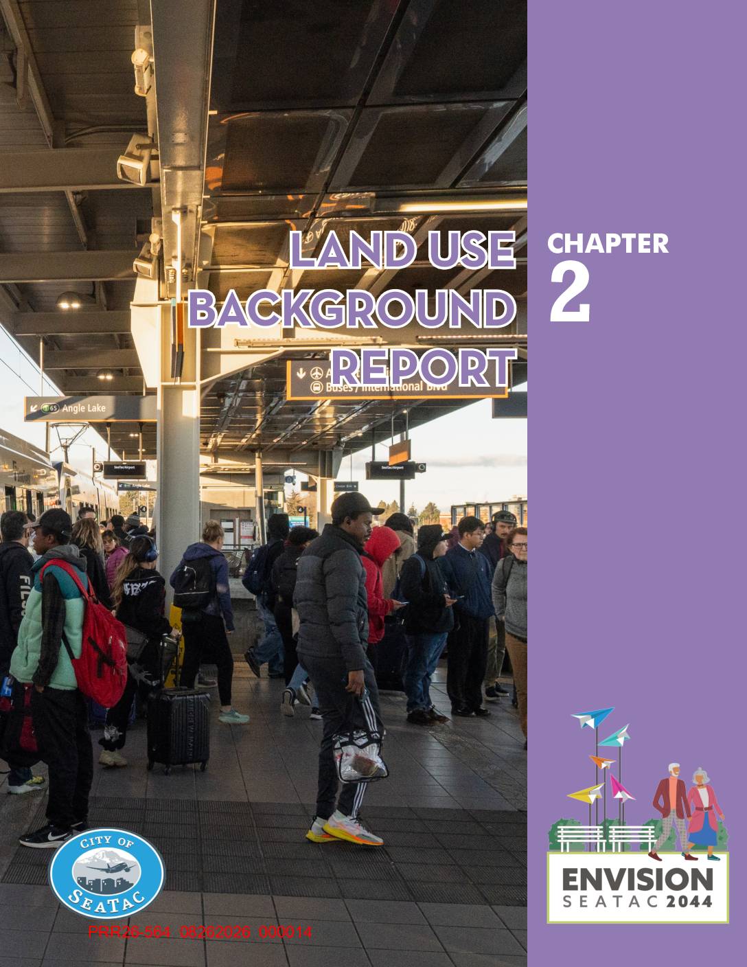
Chapter 2 Land Use Background Report
This document is Chapter 2 of the City of SeaTac's Envision SeaTac 2044 Comprehensive Plan, providing a background report on land use patterns, physical features, and growth targets within the city. It covers topics including existing residential, commercial, industrial, and airport-related land uses, as well as water resources, housing and employment targets through 2044, and essential public facilities. While focused broadly on land use planning, it includes data relevant to airport-related land use and the impact of Seattle-Tacoma International Airport on surrounding development. -
 2026-08-28
Chapter 2 Land Use Background Report
This document is Chapter 2 of the City of SeaTac's Envision SeaTac 2044 Comprehensive Plan, providing a background report on land use patterns, physical features, and growth targets within the city. It covers topics including existing residential, commercial, industrial, and airport-related land uses, as well as water resources, housing and employment targets through 2044, and essential public facilities. While focused broadly on land use planning, it includes data relevant to airport-related land use and the impact of Seattle-Tacoma International Airport on surrounding development. -
 2026-07-15
FAA Approval of Noise Compatibility Program 14 CFR Part 150 Dane County Regional Airport, Madison, Wisconsin
Department of Transportation Federal Aviation Administration Federal Aviation Administration, DOT. Notice. The Federal Aviation Administration (FAA) announces its findings on the noise compatibility program submitted by the Dane County for Dane County Regional Airport (MSN). On December 21, 2023, the FAA determined that the noise exposure maps (NEMs) submitted by Dane County were in