TagConstruction(153)
-
 2001-06-22
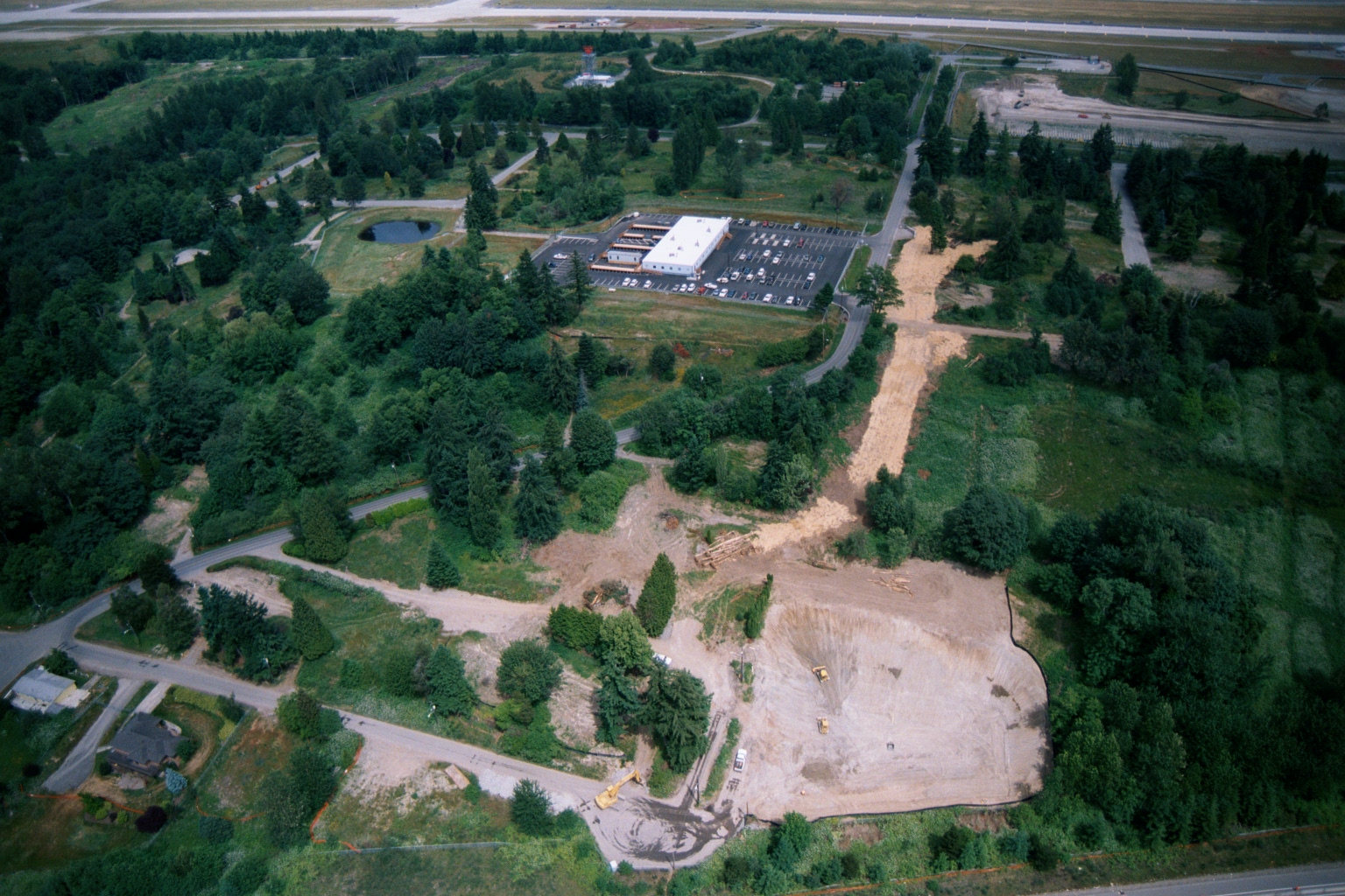
Aerial View of Ground Clearing and Grading Operations Near Sea-Tac Airport
Aerial photograph showing active ground clearing and grading operations on a large parcel of land near what appears to be Sea-Tac Airport, visible in the upper background. Construction equipment and disturbed earth are visible alongside existing commercial development with a parking lot, surrounded by dense Pacific Northwest vegetation and residential streets. -
 2001-06-22
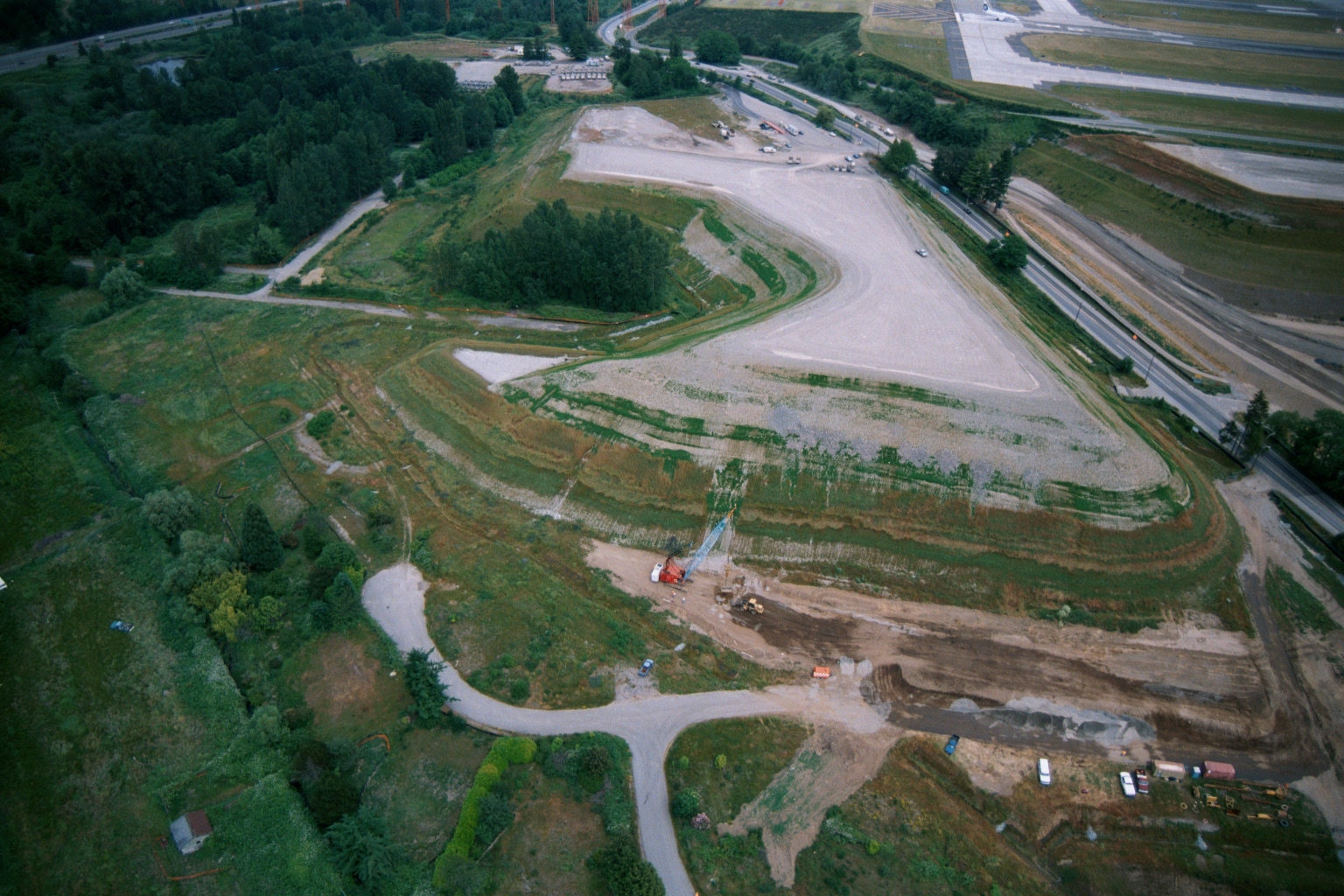
Aerial View of Graded Earthen Mound Under Construction Adjacent to Sea-Tac Airport Taxiway
Aerial photograph showing a large graded earthen mound or landfill with terraced slopes, construction equipment visible at base, adjacent to what appears to be an airport taxiway or runway in the upper right. Dense tree cover surrounds the site, with access roads and active ground disturbance visible. -
 2001-06-22
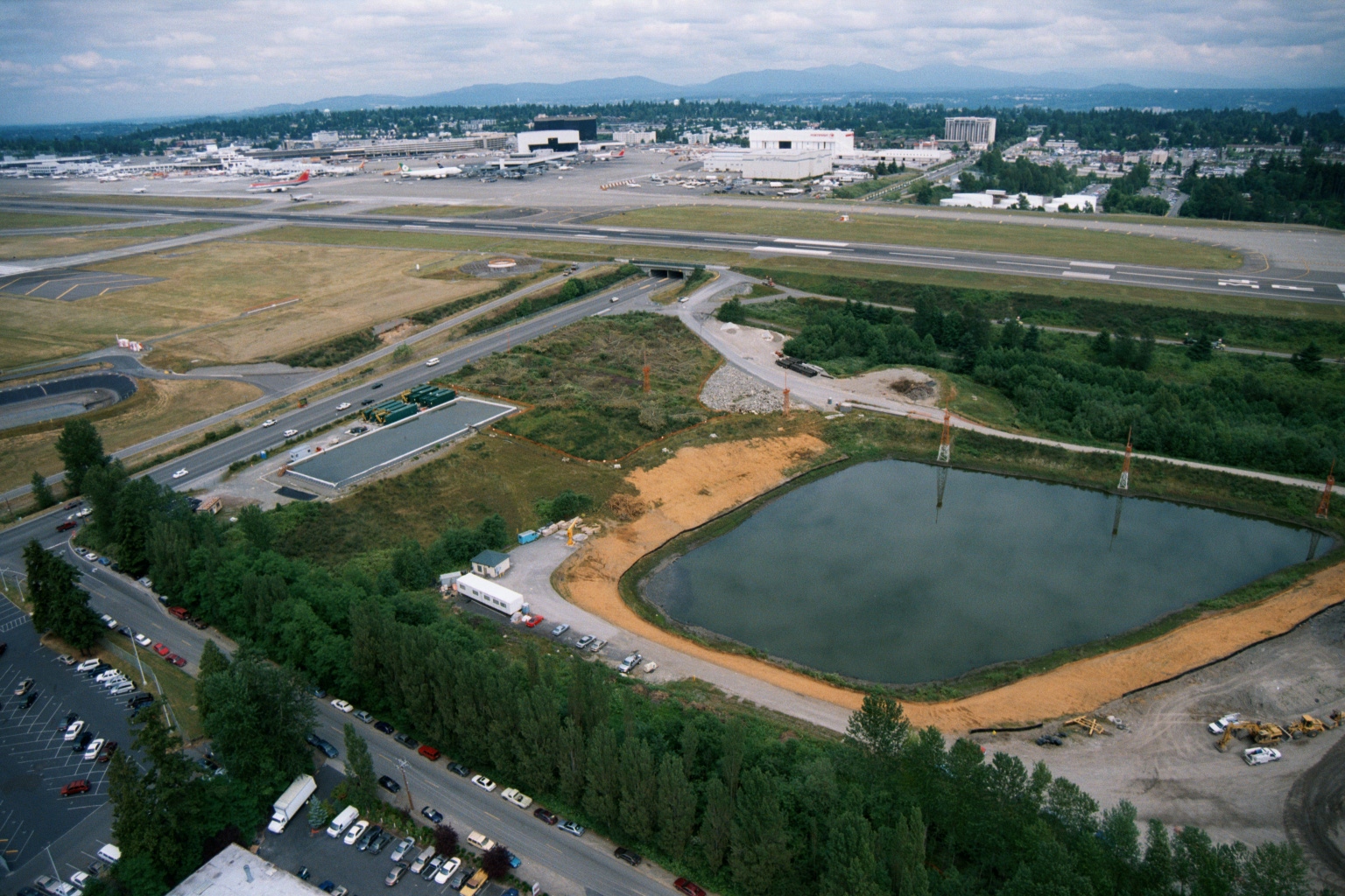
Aerial View of Detention Pond Construction at Sea-Tac Airport
Aerial photograph looking north toward Seattle-Tacoma International Airport, showing a large rectangular stormwater or noise-mitigation detention pond under construction in the foreground, with airport runways, terminals, and aircraft visible in the background. Construction equipment, a temporary site office, and freshly graded sandy soil surround the pond, suggesting active civil works in the airport's peripheral area. -
 2001-06-22
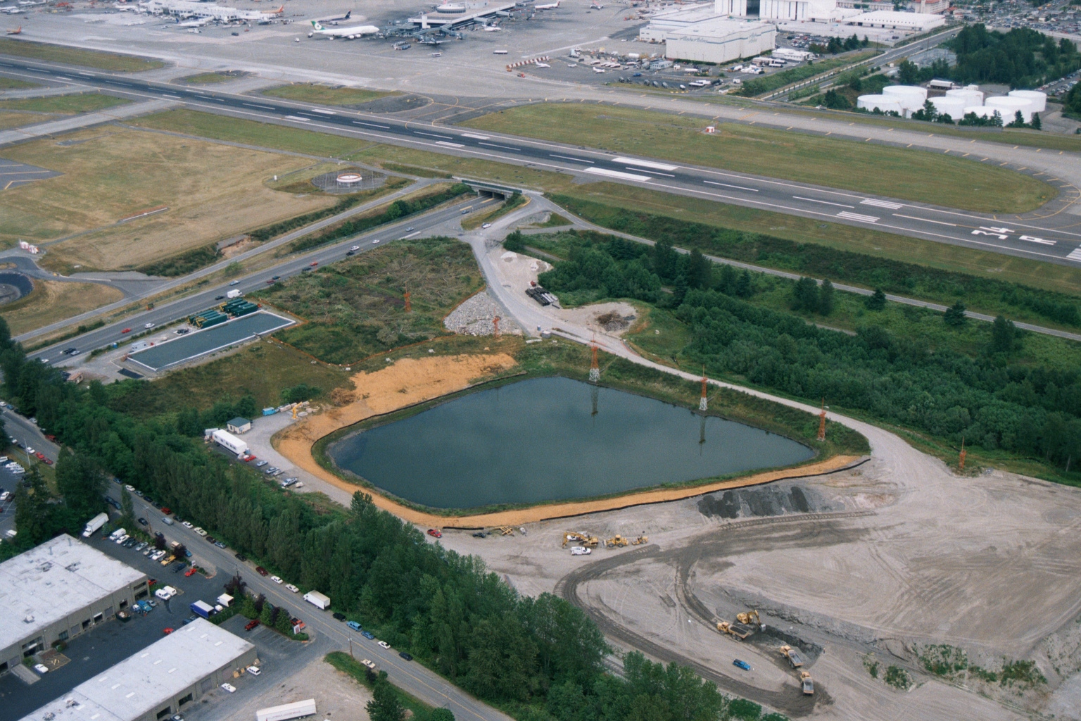
Aerial View of Stormwater Retention Pond Under Construction Near Sea-Tac Airport Runways
Aerial photograph showing an artificial retention or stormwater pond under active construction adjacent to a major airport runway complex, with construction equipment visible along the earthen berms. Industrial and commercial buildings are visible in the lower left, with airport taxiways, runways, and terminal infrastructure visible in the upper portion of the image. -
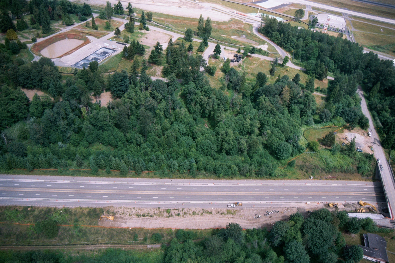 2001-06-22
Aerial View of Highway, Forested Buffer, Retention Ponds, and Airport Runway or Taxiway
Aerial photograph showing a multi-lane highway running diagonally across the frame, with a dense forested buffer zone to the north and active construction equipment visible along the roadway margin. A water treatment or retention facility with rectangular settling ponds is visible in the upper left, and what appears to be an airport runway or taxiway is visible at the top of the frame. -
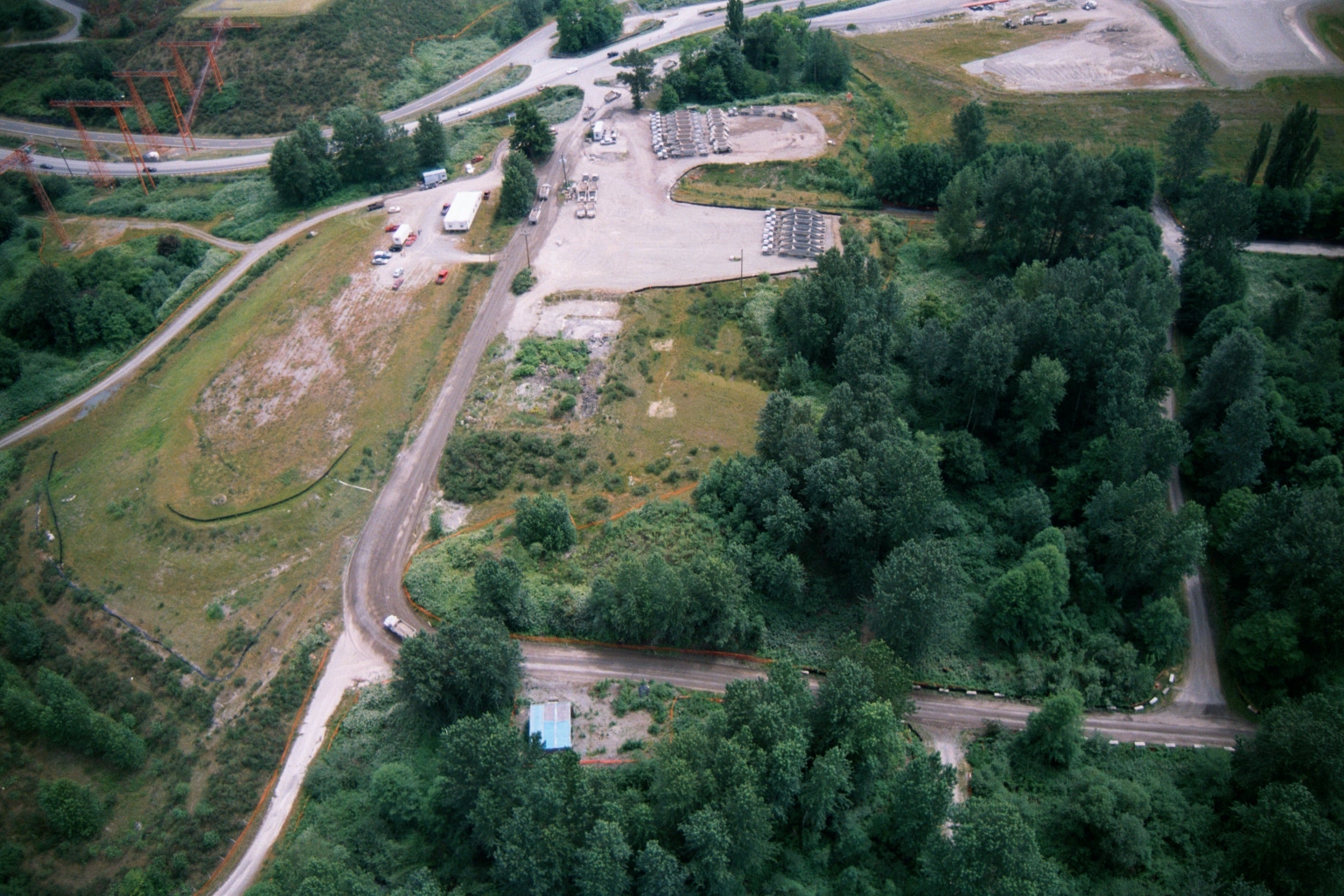 2001-06-22
Aerial View of Industrial Gravel Storage Yard Near Sea-Tac Airport Highway Interchange
Aerial photograph showing a gravel yard with rows of stored equipment or materials, adjacent roadways, utility transmission towers on the left, and surrounding vegetation. The site appears to be an industrial staging or storage area near a highway interchange, consistent with construction or infrastructure operations in the Sea-Tac Airport vicinity. -
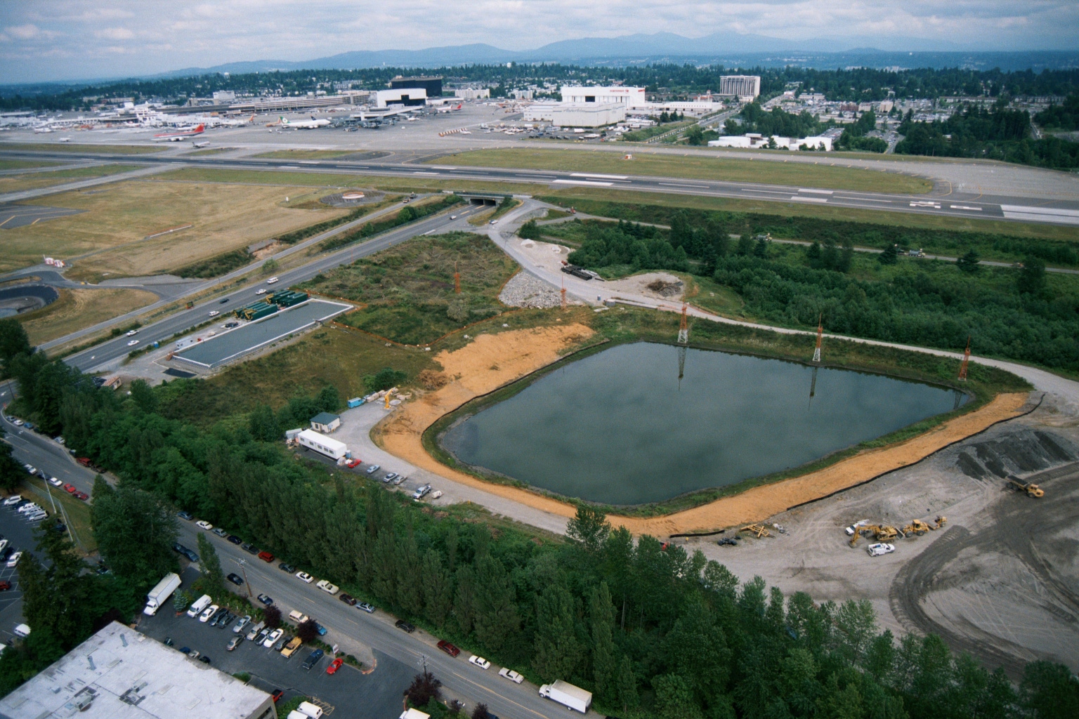 2001-06-22
Aerial View of Stormwater Retention Pond Construction Adjacent to Sea-Tac Airport
Aerial photograph showing a large rectangular retention or stormwater pond under active construction adjacent to Seattle-Tacoma International Airport. Airport runways, terminal buildings, and aircraft are visible in the background, along with construction equipment and a road corridor in the foreground. -
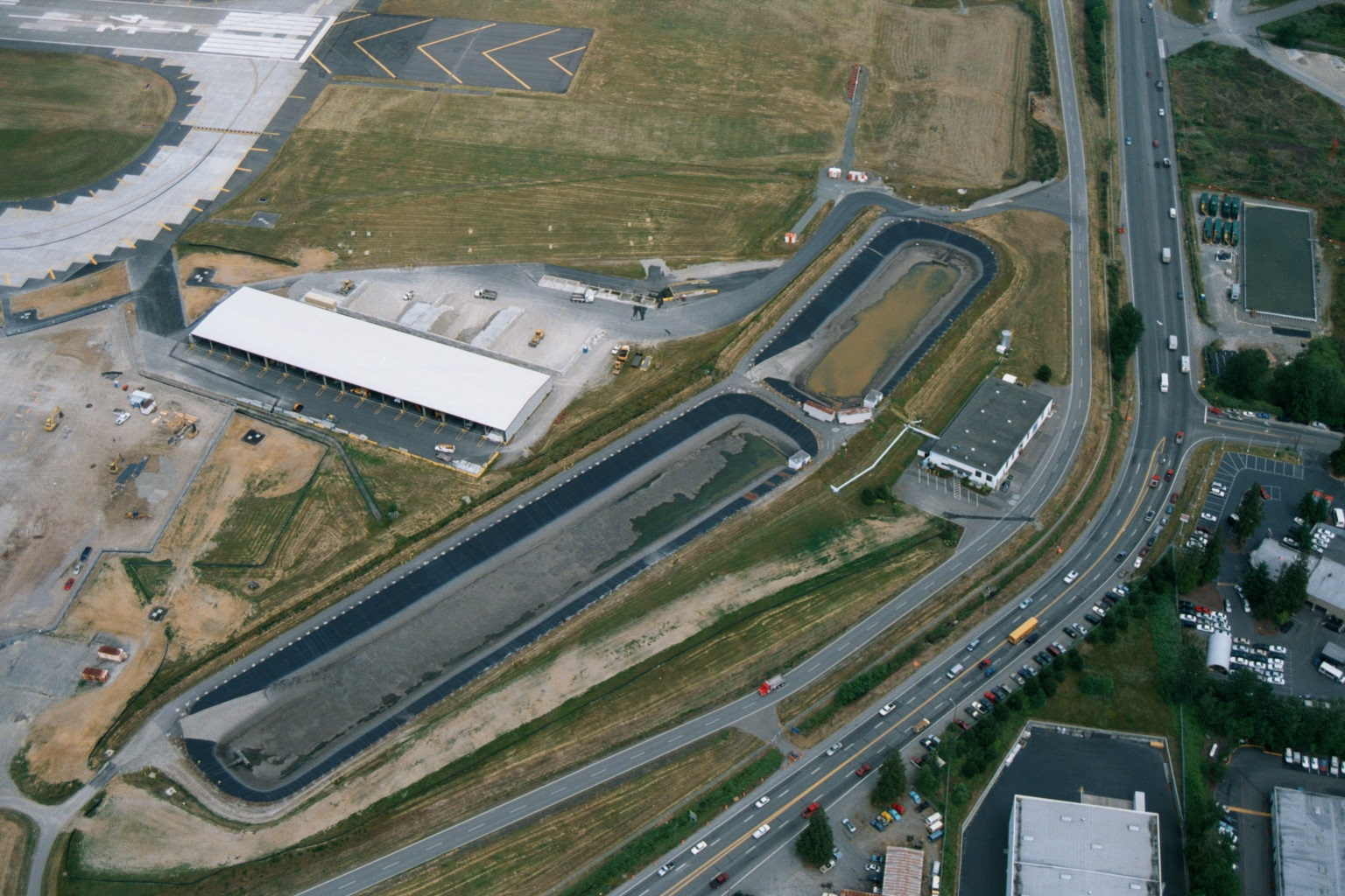 2001-06-22
Aerial View of Sea-Tac Airport Cargo Facility Construction with Stormwater Retention Ponds
Aerial photograph showing a large white-roofed cargo or maintenance building adjacent to airport taxiways, with two elongated stormwater retention/detention ponds visible. Construction activity and heavy equipment are visible on the west side of the facility, and a busy multi-lane road intersection is visible to the east. -
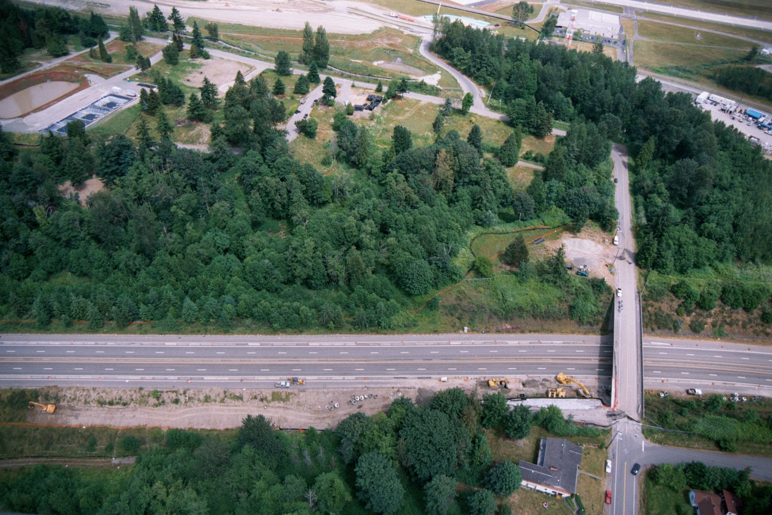 2001-06-22
Aerial View of Highway Interchange Construction Near Airport Infrastructure
Aerial photograph showing a multi-lane divided highway with an overpass/interchange under active construction, with heavy equipment visible along the roadway. A large forested parcel and what appears to be airport-related infrastructure, including what may be a retention or treatment pond, are visible in the upper portion of the image. -
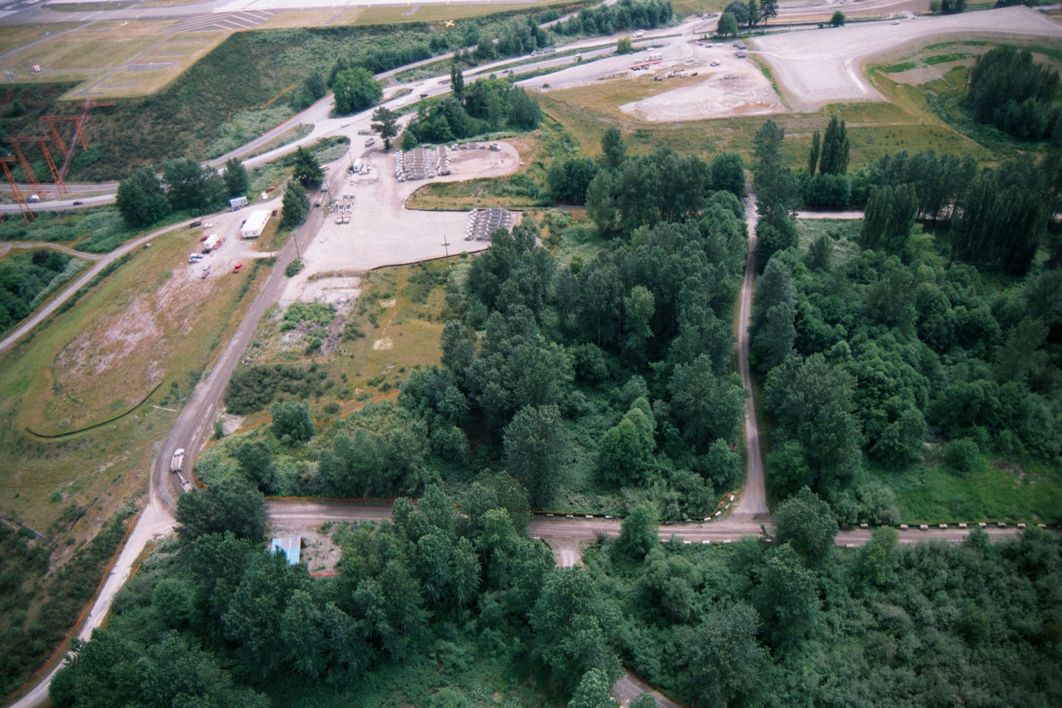 2001-06-22
Aerial View of Gravel Staging Yard Near Sea-Tac Airport Runway
Aerial photograph showing a gravel staging or storage yard with rows of materials or equipment, dirt access roads, dense tree cover, and what appears to be airport runway infrastructure visible in the upper left background. A power transmission structure is visible on the left edge, and several vehicles and trailers are present on the site.