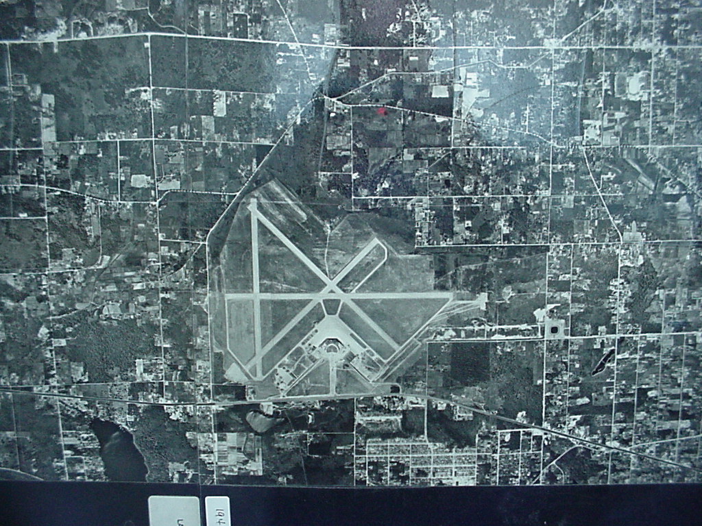
Black-and-white aerial/satellite photograph showing an airport with multiple crossing runways arranged in an X-pattern, surrounded by a mixed urban and rural landscape with a grid road network. Two small label tabs are visible at the bottom of the image but the text is not clearly legible.Open full document
Notes
Black-and-white aerial/satellite photograph showing an airport with multiple crossing runways arranged in an X-pattern, surrounded by a mixed urban and rural landscape with a grid road network. Two small label tabs are visible at the bottom of the image but the text is not clearly legible.