TagAuburn Wetland(72)
-
2026-07-30
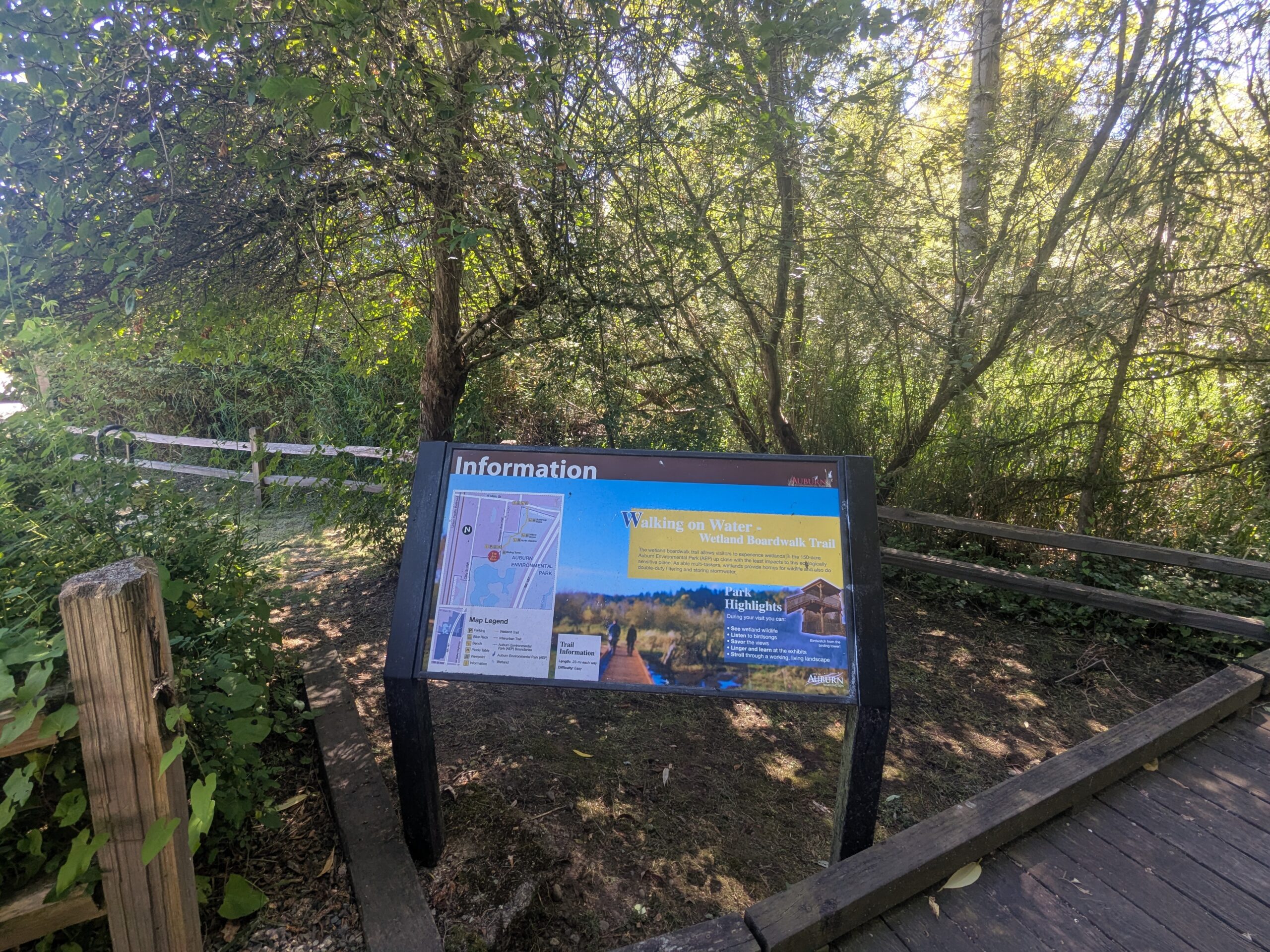
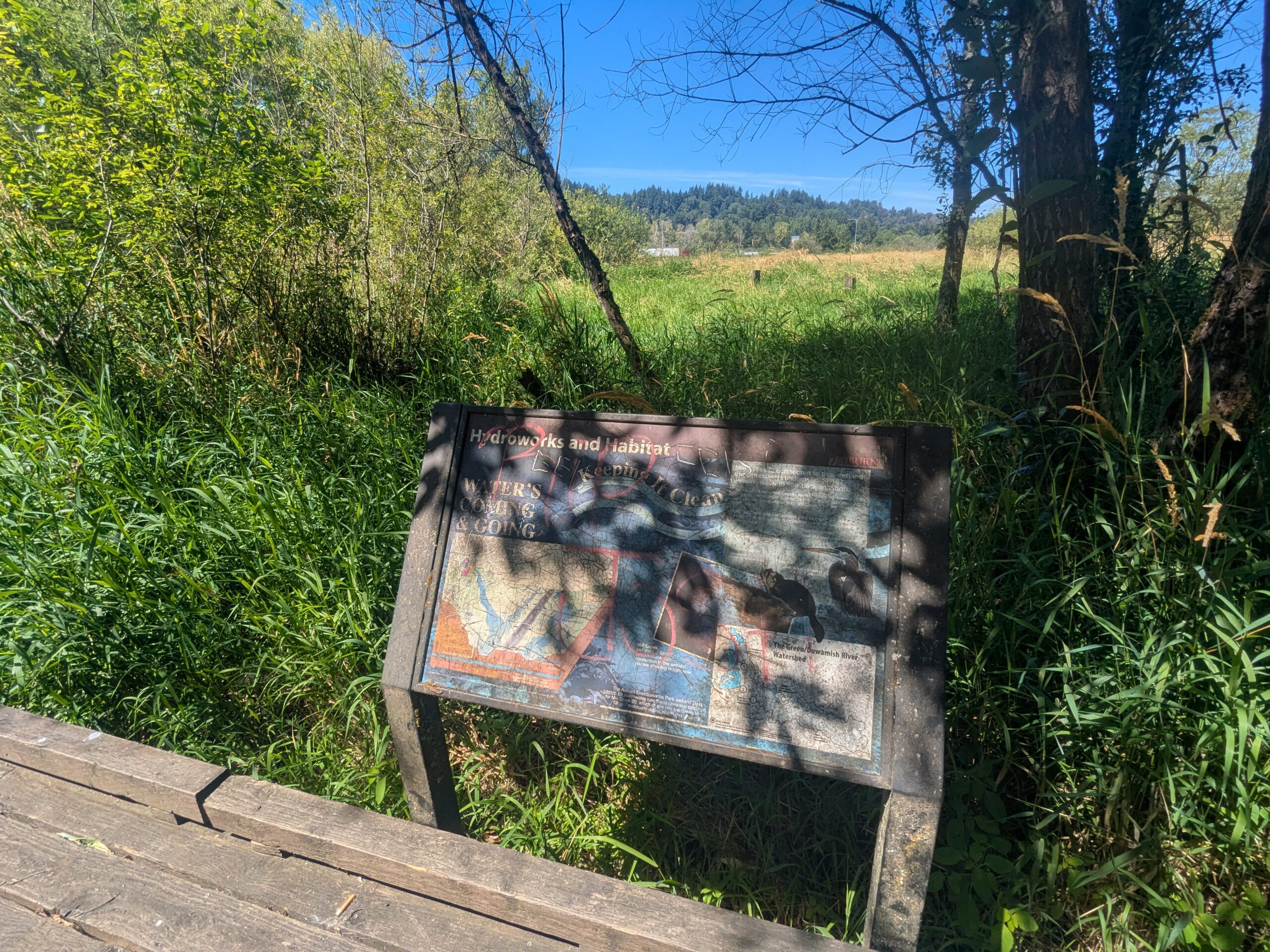
Auburn Wetland Nature Trail Path and Informational Kiosk
A paved gravel path flanked by wooden split-rail fences curves through dense green vegetation toward a visible informational signboard or kiosk in the background. The setting appears to be a public nature trail or park access path on a clear sunny day. -
2026-07-30
Auburn Wetland — July 30, 2026
-
2026-07-30
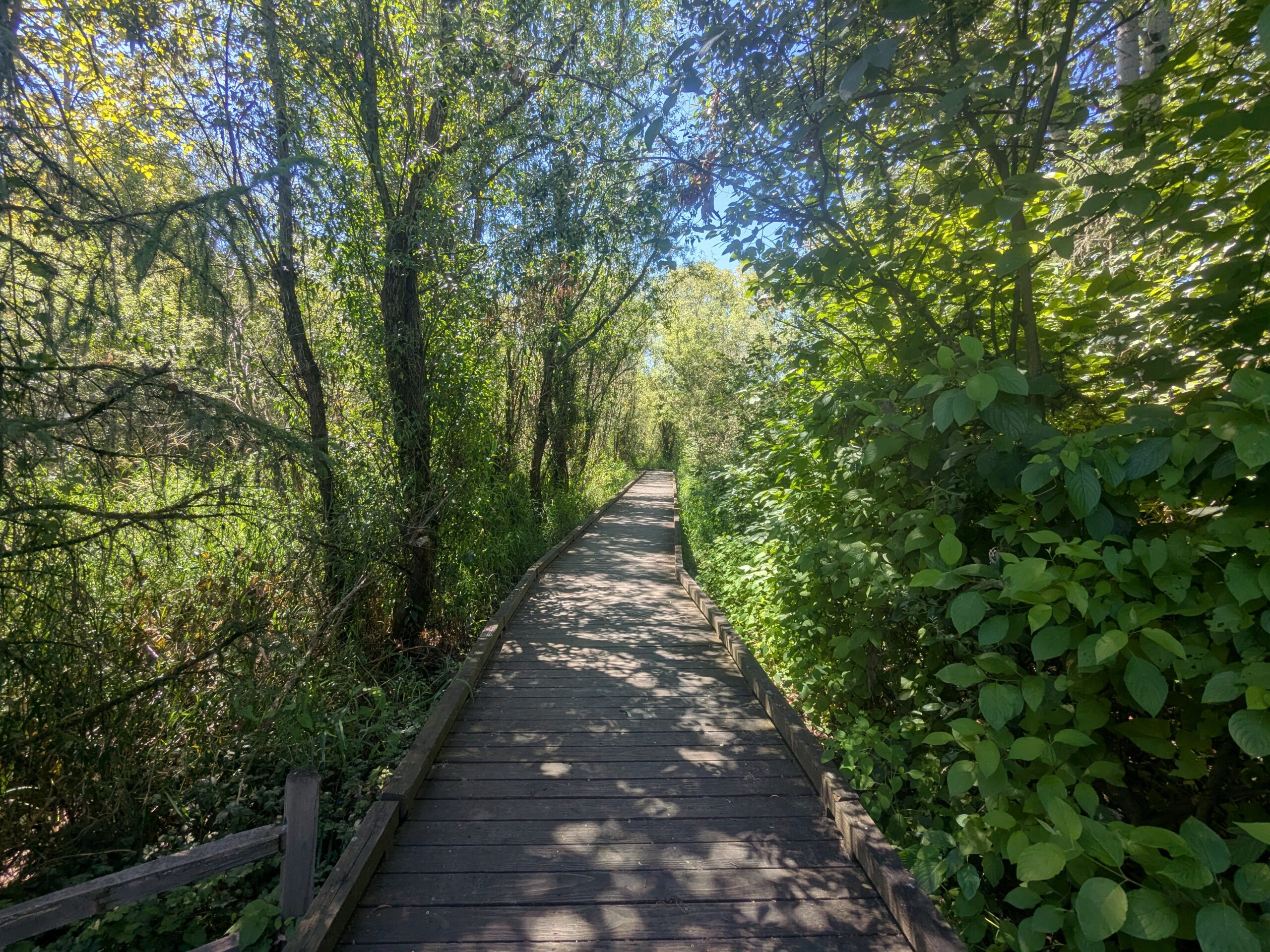
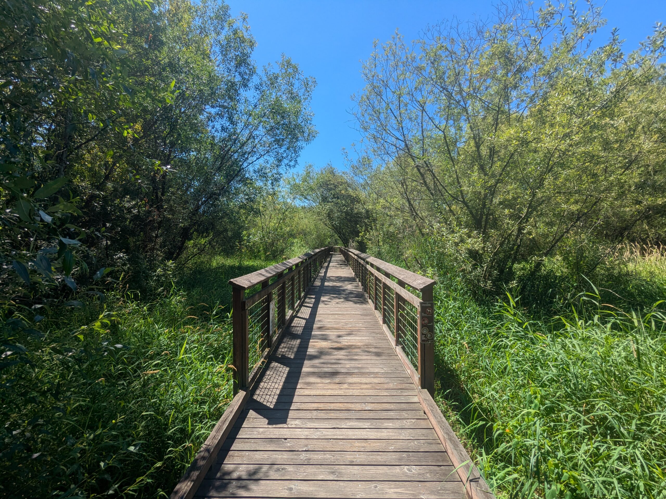
Walking on Water Wetland Boardwalk Trail — Information Kiosk and Trail Map Sign
An information kiosk at the entrance of the 'Walking on Water Wetland Boardwalk Trail' shows a trail map, park highlights, and interpretive content. The wooden boardwalk trail and surrounding wetland forest vegetation are visible behind the sign. -
2026-07-30
Auburn Wetland — July 30, 2026
-
2026-07-30
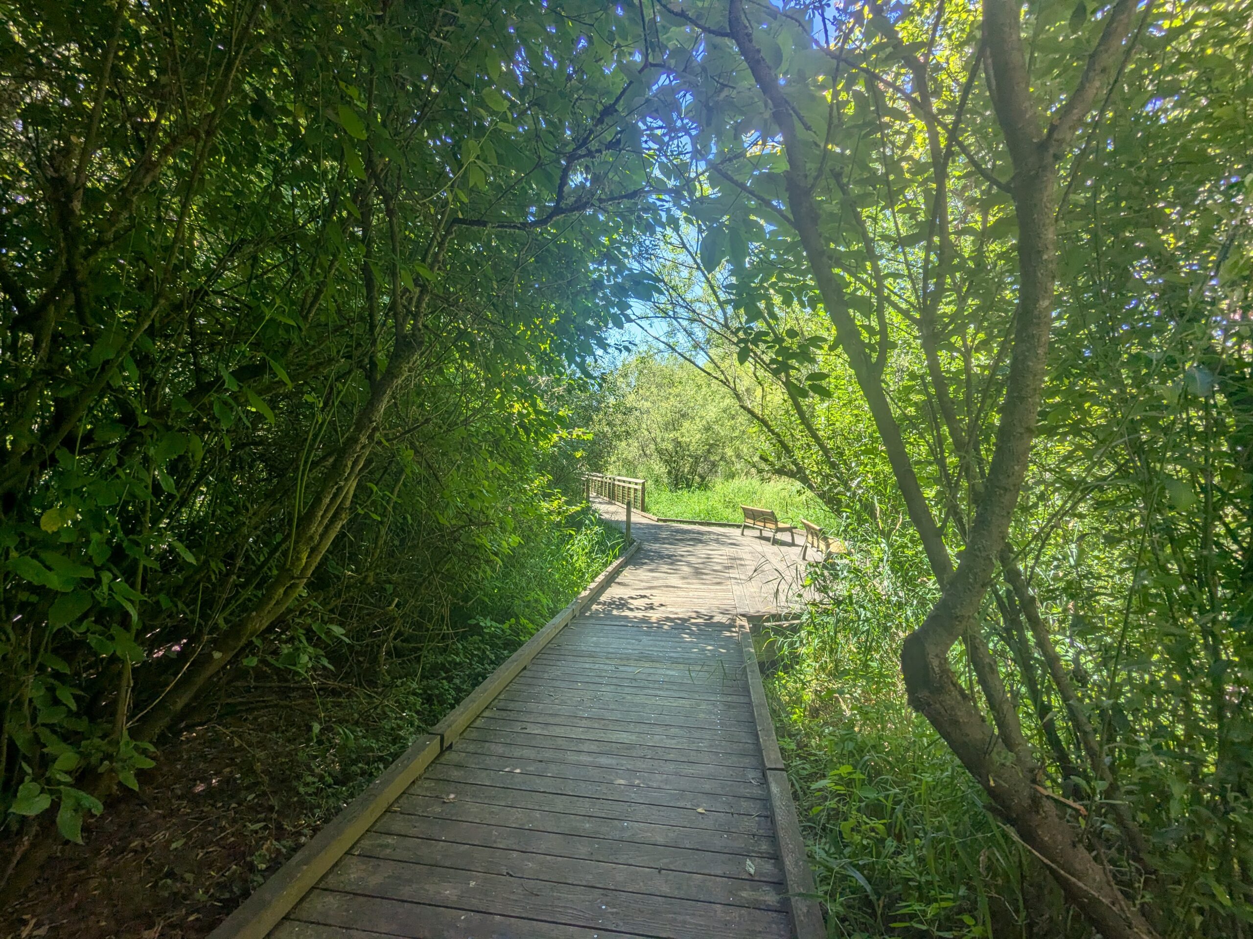
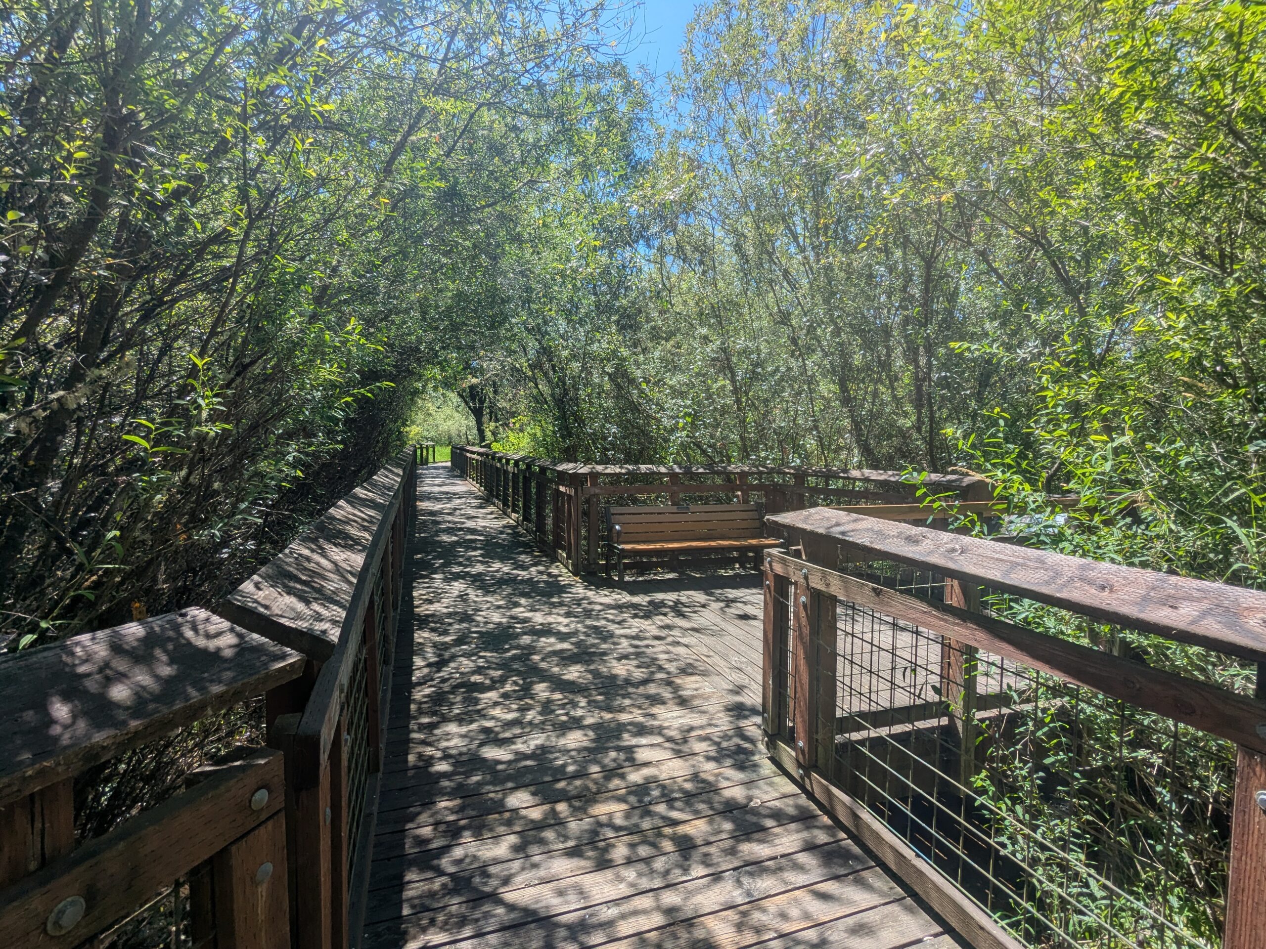
Walking on Water Wetland Boardwalk Trail Sign at Auburn Environmental Park
An information kiosk at Auburn Environmental Park (Auburn, Washington) displays a sign titled 'Walking on Water – Wetland Boardwalk Trail,' including a trail map, map legend, trail information, and park highlights. The sign bears the City of Auburn logo and describes the wetland boardwalk that allows visitors to experience the park's wetland ecosystem. -
2026-07-30
Auburn Wetland — July 2026
-
2026-07-30
Auburn Wetland — July 30, 2026
-
2023-08-08
Auburn Wetlands site concept design
This map presents the concept design for the Auburn wetland mitigation site as part of the Port of Seattle’s Wetland Mitigation and Habitat Conservation Umbrella Bank Prospectus. The figure shows five delineated wetlands (A through E) along the Green-Duwamish River, with proposed enhancements including wetland re-establishment, buffer enhancement, upland enhancement, and re-routed ditches. The site -
2022-09-12
Corps aquatic resource functional assessment by project area
This document assesses the ecological functions of wetlands and aquatic resources in the Miller Creek and related basins near Sea-Tac Airport, evaluating their roles in water quality, flood storage, and wildlife habitat. Wetlands in the Runway Safety Area and Vacca Farm areas are rated across functions such as nutrient trapping, groundwater exchange, and habitat for fish, waterfowl, amphibians, and small mammals. The assessment finds that interconnected wetland complexes like Lake Reba provide high-value flood attenuation and baseflow support for Miller Creek, while farmed wetlands perform at lower functional levels due to sparse vegetation and agricultural runoff. -
2022-09-12
Review by the U.S. Army Corps of Engineers
The U.S. Army Corps of Engineers has been reviewing a permit application related to a proposed third runway at Sea-Tac Airport, described as the largest Section 404 proceeding the Corps had handled and the biggest public works project in Washington State since the Grand Coulee Dam. Key issues under consideration include the replacement of lost wetlands, streamflow impacts, and the seismic stability of the proposed runway embankment. No deadline exists for the Corps to render its final decision, though draft permit conditions were reportedly being prepared by civilian technicians in the Seattle District Office.