TagTimothy Larson(4)
-
 2020-12-05 00:00
The Relationship Between Flight Traffic, Ultrafine Particles and Noise from the Seattle Aircraft Air and Noise Study
Edmund Seto, Elena Austin, Jianbang Xiang, Jeffry Shirai, Tim Gould, Timothy Larson Washington Environmental Health Disparities Map https://fortress.wa.gov/doh/wtn/WTNIBL/ This map ranks areas in red that are more impacted by cumulative environmental hazards. Many parts of Beacon Hill and other South King County communities have rankings in the red, and are impacted by cumulative hazards. NOISE Sea-Tac Airport Noise Impacts http://www.airportsites.net/SEA-Part150/documents/final/e-Chapter-3_Noise%20Analysis.pdf DNL 65 dBA Noise exposures are associated with human health effects > Cardiovascular effects > Sleep disturbance > Annoyance > Impaired children’s learning FAA 14 CFR Part 150 Analysis (2013) for Sea-Tac includes: > A model of noise contours attributable to flights > Measured noise, only looking at levels >60 dB that are >3 secs, correlated with flights > A 65 dB noise contour is considered a threshold for incompatible residential land use without mitigation. > But this 65 dB threshold is supposed to be for “cumulative noise” – noise from all sources. http://www.airportsites.net/SEA-Part150/documents/final/e-Chapter-3_Noise%20Analysis.pdf Beacon Hill Seattle Noise Study Video of noise from flyover Particulate Air Pollution micron is 1000 nanometers. So a UFP is <0.1 microns PM2.5 Measurements at Seattle Beacon Hill Site by Puget Sound Clean Air Agency Federal standard primary and secondary 24 hr μg/m3 98th percentile, averaged over 3 years primary 1 year 12.0 μg/m3 annual mean, averaged over 3 years Despite not exceeding standard, still ranks 10 on the Environmental Health Disparities Map, indicating that historic PM levels in this area are among the highest concentrations observed in the state. PM2.5 Measurements at Seattle Beacon… -
 2020-12-01 00:00
SKCDOH Community Health and Airport Operations Related Pollution Report December 2020
Community Health and Airport Operations Related Noise and Air Pollution: Report to the Legislature in Response to Washington State HOUSE BILL 1109 -
 2019-05-07 00:00
Federal Way Letter to UW on Ultrafine Particles Study
-
 2009-05-20 00:00
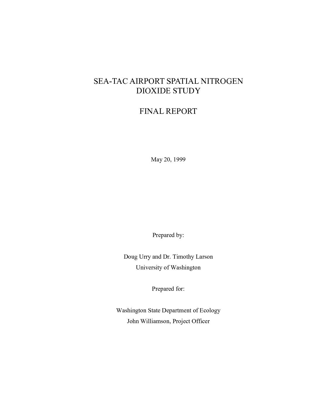
Sea-Tac Airport Spatial Nitrogen Dioxide Study 2009
Previous air pollution modeling efforts and current facility expansion activities at Sea-Tac International Airport have raised concerns about elevated nitrogen dioxide (NO2) levels in the surrounding community. The goals for this project were to 1) assess compliance with the 100 micrograms per cubic meter annual national ambient air quality standard (NAAQS) for NO2, 2) quantify any local concentration gradients, and 3) evaluate the impact of aircraft operations on local NO2 levels. The scope of this project included annual NO2 measurements throughout the community; samplers were located in areas near the north and south ends of the airport where aircraft operations would most likely affect ambient concentrations. Three-week integrated NO2 measurements were continuously performed at 16 locations using Yanagisawa NO2 diffusion badges. Additionally, Washington State Department of Ecology (WDOE) performed continuous nitrogen oxides (NOX) measurements using Federal Reference Method chemiluminescent analyzers and collected meteorological data at two of the sampling locations. Annual average NO2 measurements at all sites were well below the NAAQS. Consistent spatial concentration gradients were observed throughout the study. NO2 levels decreased from east to west. NO2 levels generally decreased with distance from both the airport runways and local freeways. Hourly NOX and meteorological data from WDOE monitoring stations were used to identify local source impacts by comparing measured NOX levels by wind direction. Because NOX is primarily emitted as nitric oxide (NO), concentration of this species varied more with wind direction than NO2. Evidence of a small but discernable airport impact on NOX levels was observed near…