TagRESP(4)
-
Port Dracula
Using your tax dollars to drain the life from your community The Port of Seattle is much more than an airport or a seaport. It works diligently to be the economic engine of King County. By virtue of its status as a Port District under RCW 53, and as owner and operator of a Class -
 2022-06-01
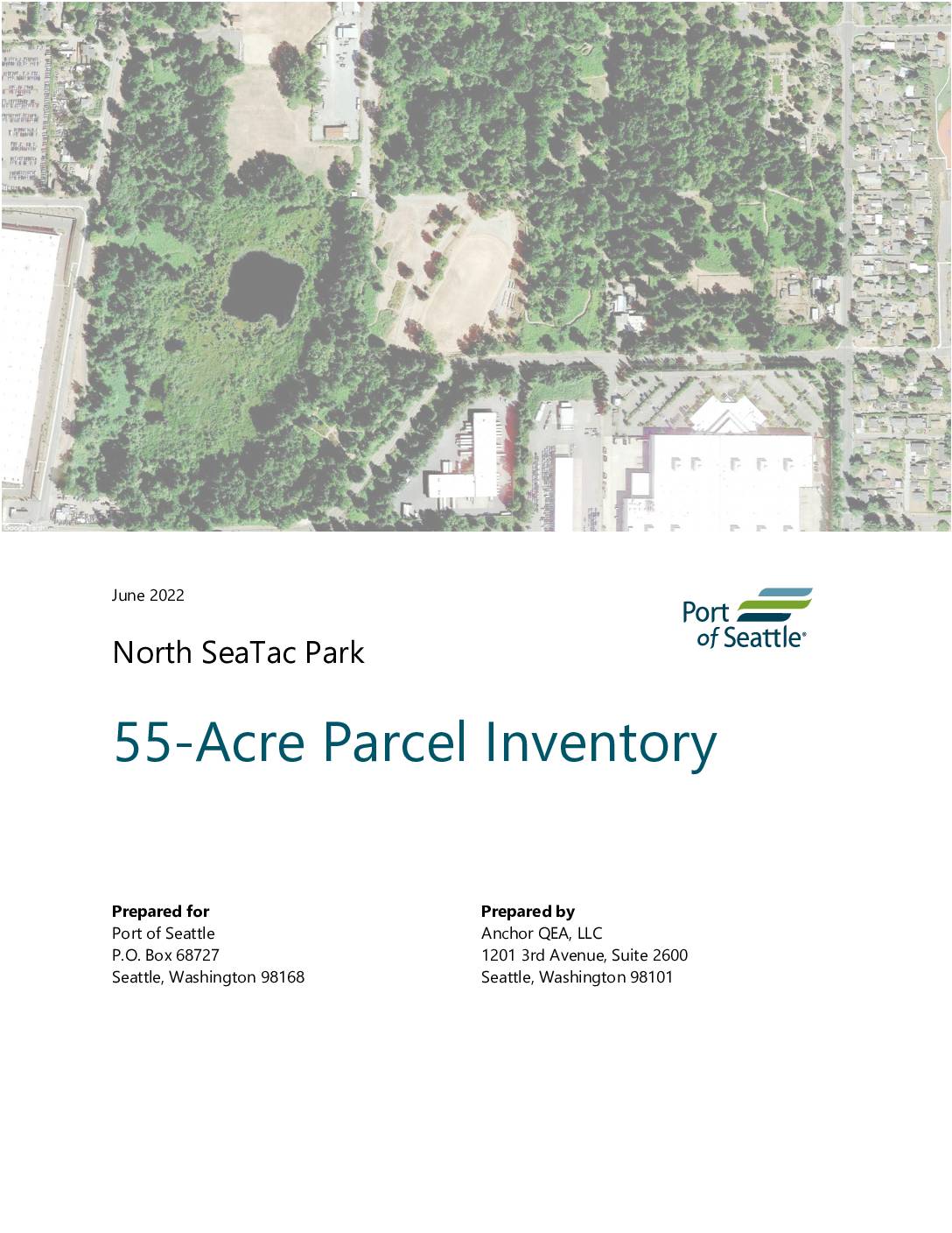
North SeaTac Park 55-acre parcel inventory
This June 2022 report, prepared by Anchor QEA for the Port of Seattle, provides a comprehensive inventory of the 55-acre parcel within North SeaTac Park located near Seattle-Tacoma International Airport. It covers the parcel's development history, cultural context, land use, environmental conditions (including soil, air quality, water, plants, and wildlife), noise levels, recreation, transportation, and utilities. The inventory serves as a baseline reference to inform future planning and policy decisions for this airport-adjacent public land. -
 2021-08-01
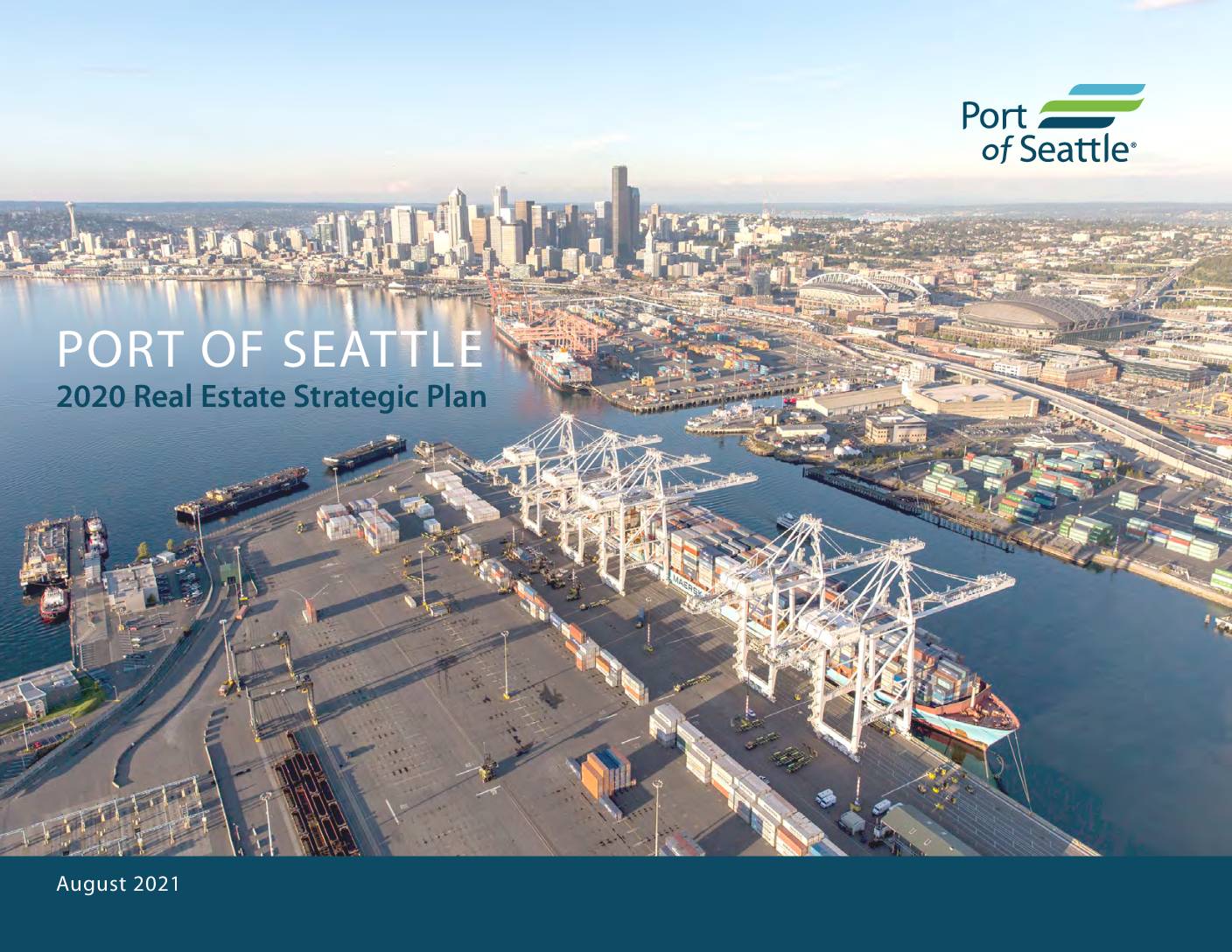
Port Of Seattle 2020 real estate strategic plan
The Port of Seattle's 2020 Real Estate Strategic Plan, published in August 2021, outlines strategies for managing and growing the Port's portfolio of industrial and office properties, including sites such as Fishermen's Terminal, Pier 69, and World Trade Center West. Developed by consulting firm Heartland in collaboration with Port staff and an external advisory committee, the plan updates a similar 2016 strategy and provides a framework for evaluating future real estate investments and acquisitions. Note that this document focuses on maritime and commercial real estate operations and does not address Sea-Tac Airport noise policy. -
 2016-12-31
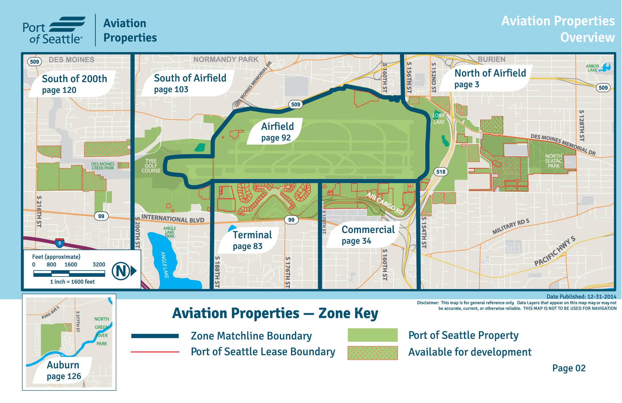
Aviation properties overview
This Aviation Properties Overview map provides a general reference guide to the Port of Seattle's property zones surrounding Seattle-Tacoma International Airport. It divides the airport and surrounding areas into six named zones — Terminal, Airfield, Commercial, North of Airfield, South of Airfield, and South of 200th — each referenced to a specific page for detailed information. The map also identifies Port of Seattle property boundaries, lease boundaries, and land available for development in the Sea-Tac Airport region.