TagAir Quality Monitors(111)
-
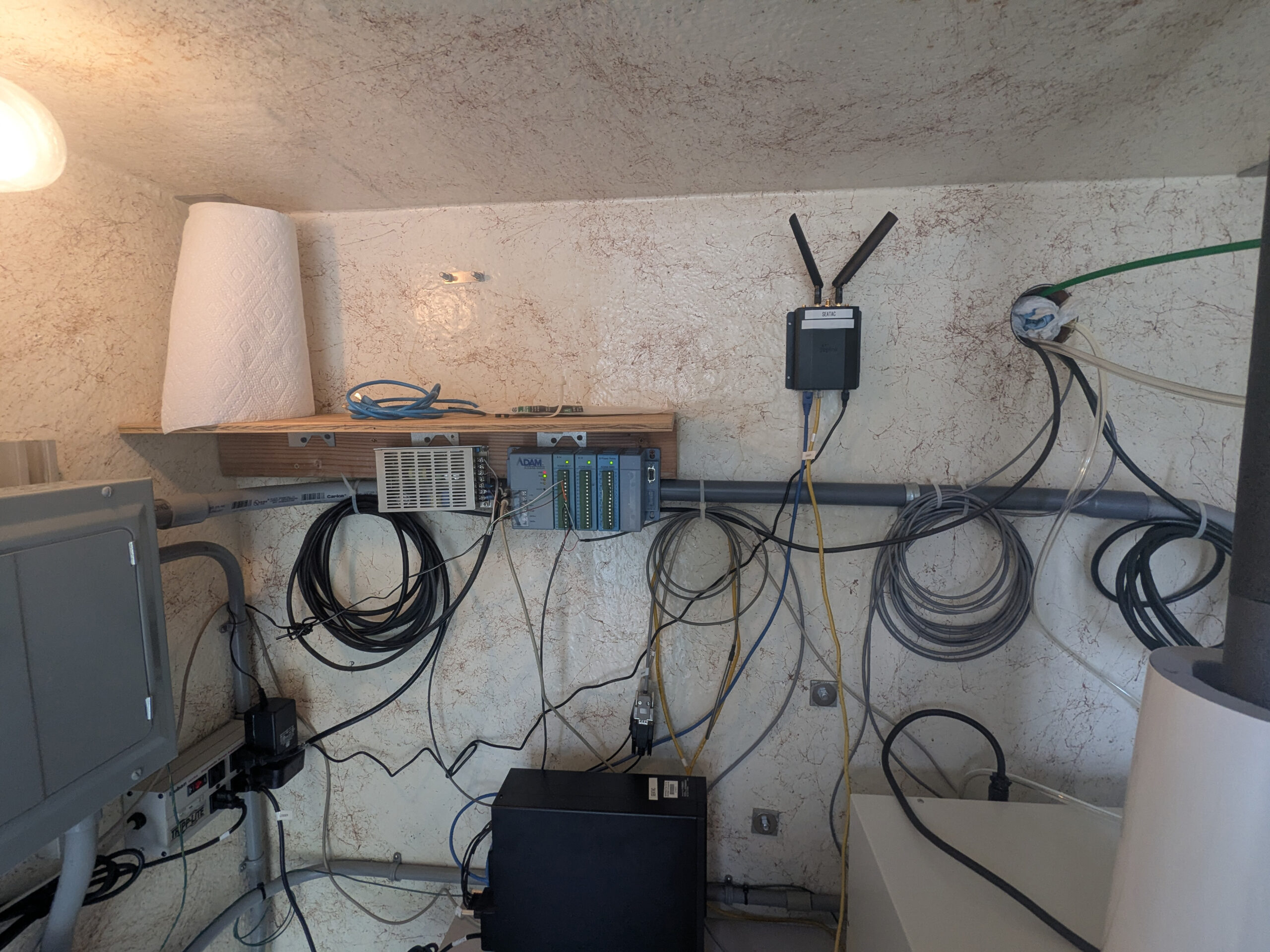
Data acquisition and wireless communication equipment installation
A wall-mounted equipment setup featuring an Advantech ADAM data acquisition module, a wireless router/gateway device with dual antennas (labeled 'IONIC' or similar), and various coiled cables including Ethernet and sensor wiring. A shelf holds additional networking hardware and a roll of paper towel, with a solar or power inverter unit visible at lower left. -

PSCAA Air Quality Monitor SeaTac
A white instrumentation enclosure/shelter is mounted on a gravel pad outdoors, equipped with two mushroom-cap inlet sampling tubes on top (consistent with particulate matter or air quality monitors), a radiation shield/temperature sensor assembly, a black exhaust elbow, and associated cabling. The setting appears industrial, with graffiti-marked walls and a corrugated metal building visible in the background. -
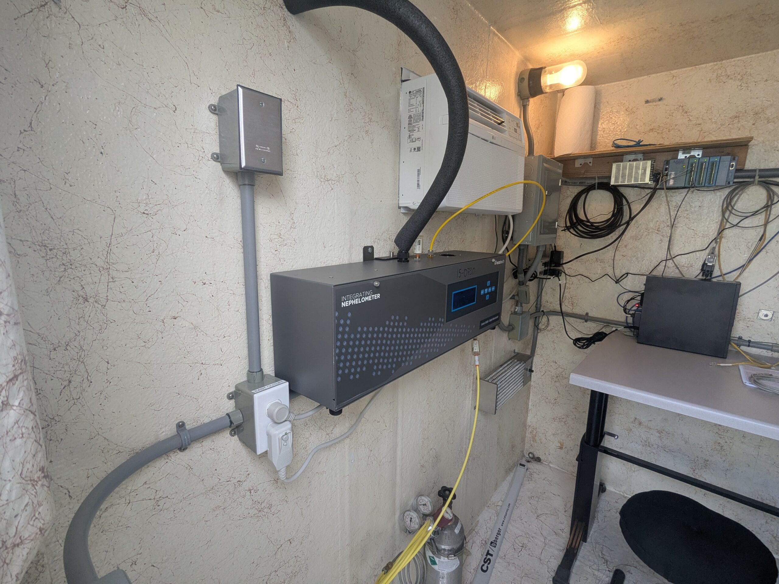
PM10 detector
A TSI Integrating Nephelometer (model visible on front panel label) is mounted on a wall inside what appears to be a small environmental monitoring shelter or trailer. The station includes associated gas cylinders, tubing, data acquisition hardware, and climate control equipment, consistent with an ambient air quality or visibility monitoring deployment. -
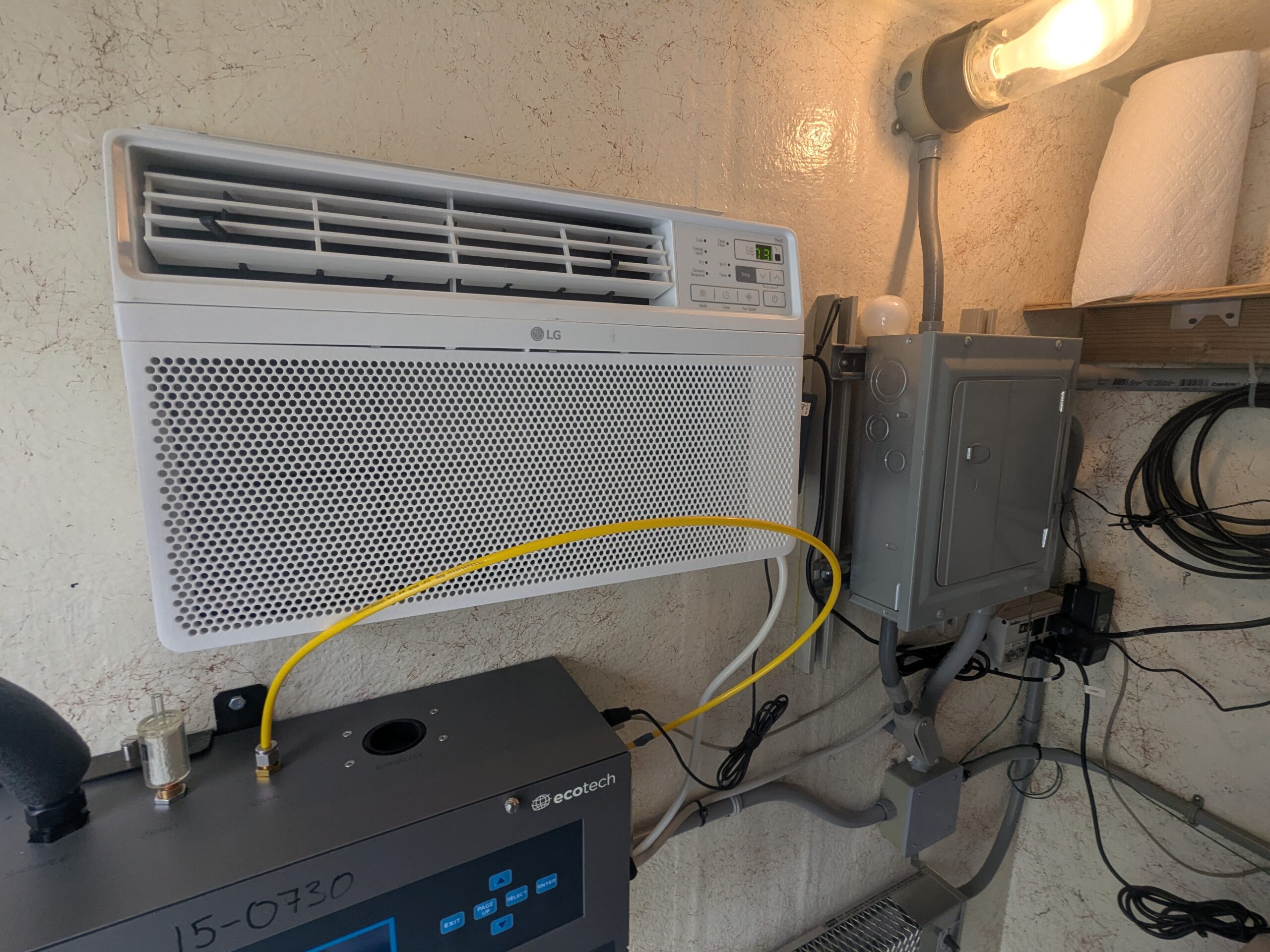
Ecotech Air Quality Monitor with LG Wall AC Unit
An Ecotech brand air quality monitoring instrument (serial number partially visible as 15-0730) is connected via yellow tubing to an LG through-the-wall air conditioning unit. The setup also includes a gray electrical enclosure with conduit and associated wiring, consistent with an environmental monitoring station installation. -
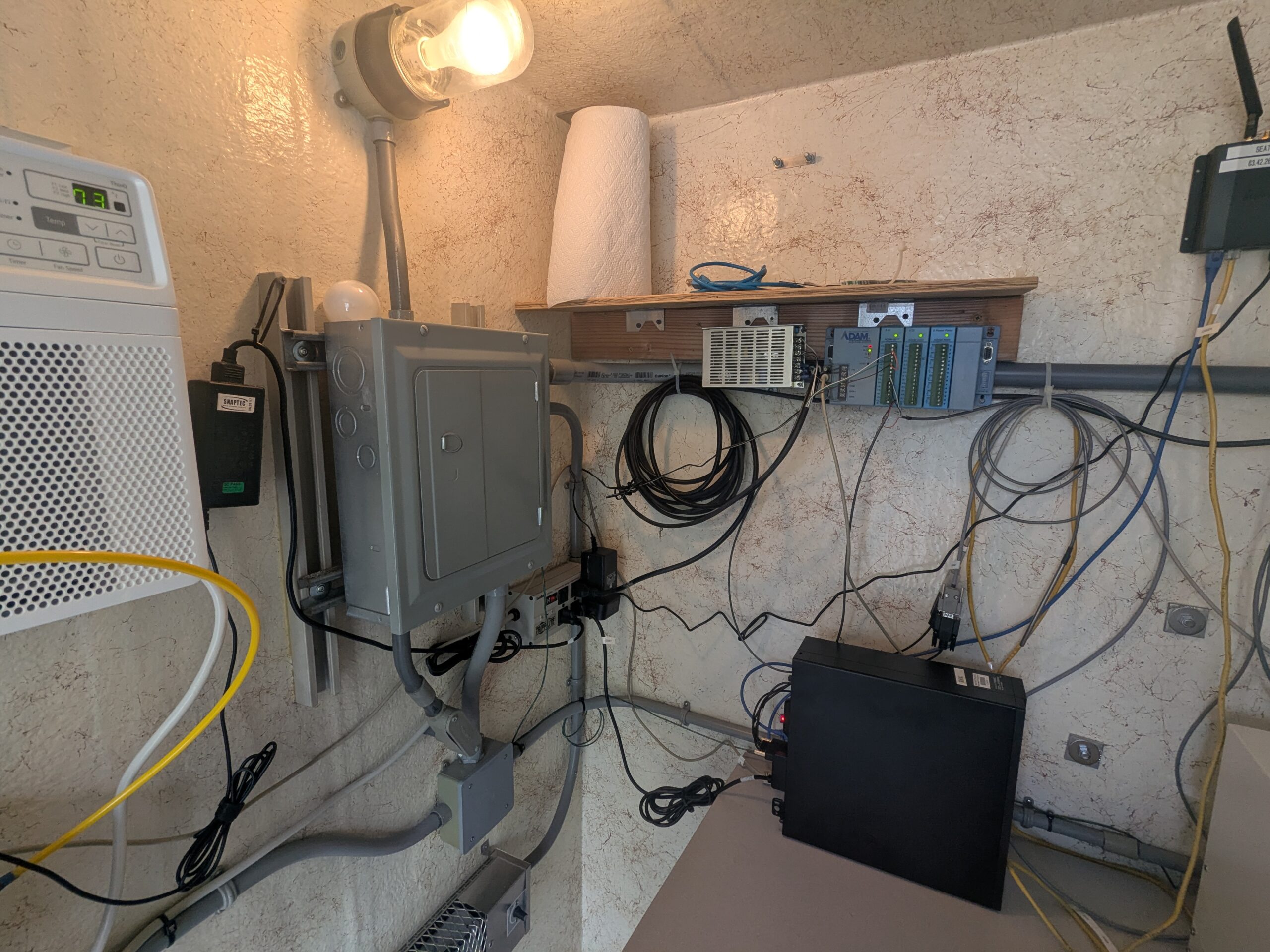
Equipment room with ADAM data acquisition modules and electrical panel
An interior equipment room showing an electrical sub-panel, Advantech ADAM-series I/O data acquisition modules mounted on a DIN rail shelf, network cabling (Ethernet and fiber), a wall-mounted thermostat reading 73°F, and a black enclosure that appears to be a UPS or power conditioner. The ADAM modules are commonly used in environmental monitoring and noise measurement systems. -
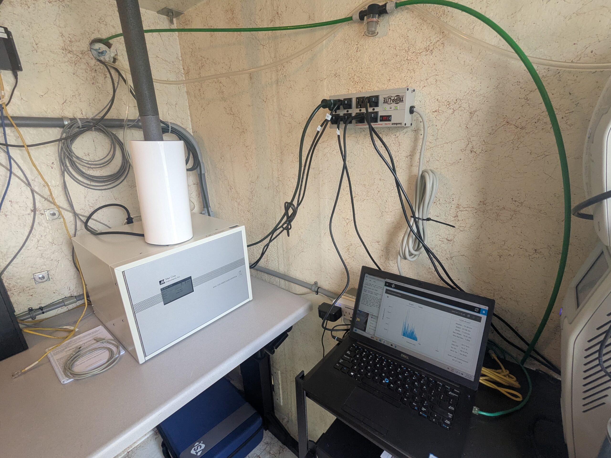
Noise monitoring equipment station with Met One instrument and Dell laptop
A compact monitoring station containing a white cylindrical inlet (likely a particle or noise sampler), a Met One Instruments analyzer unit, and a Dell laptop displaying a histogram or spectral data graph. The station is powered by a Tripp-Lite surge protector and connected via green tubing, suggesting an air quality or acoustic monitoring deployment. -
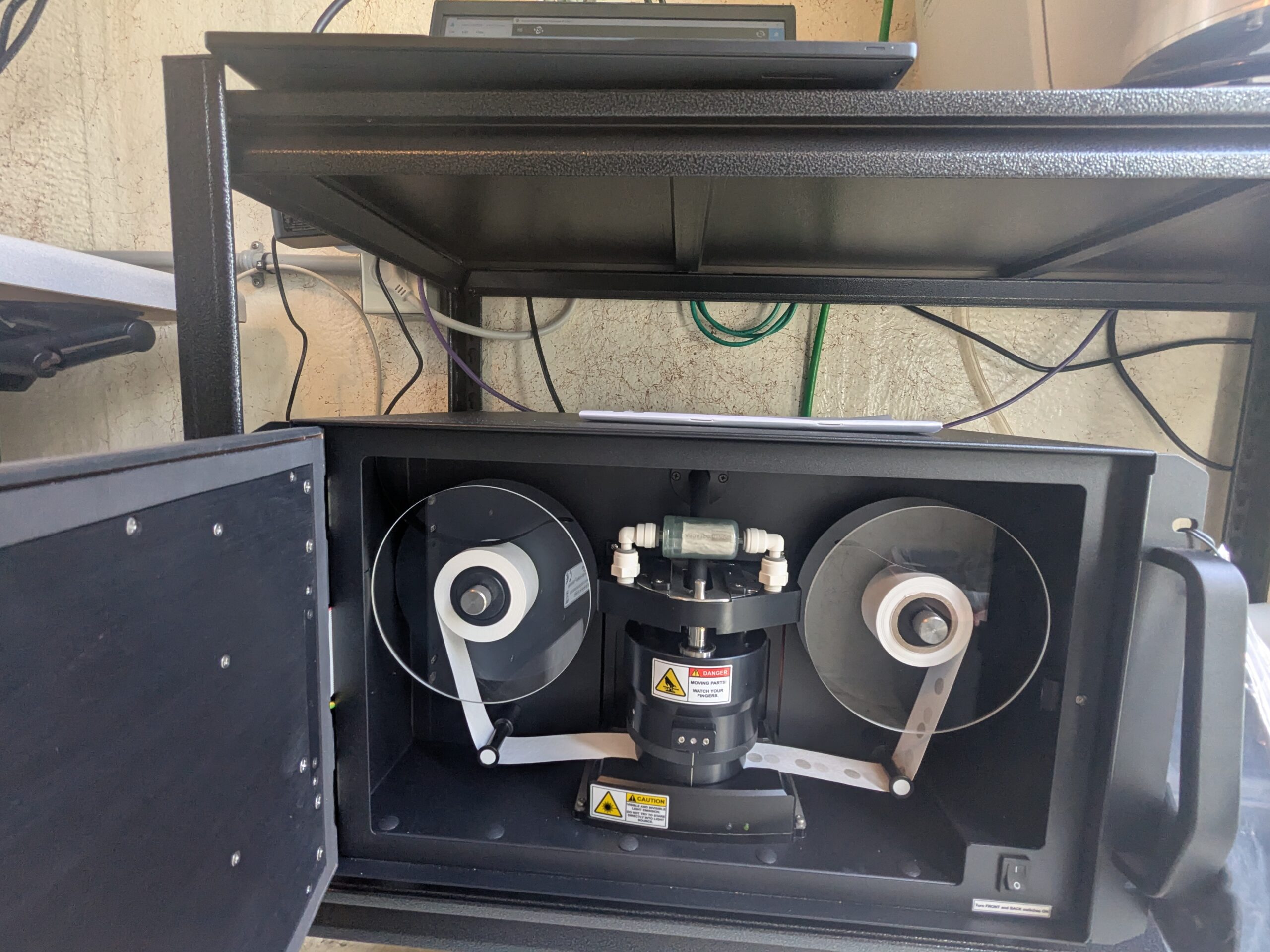
Laser-based noise monitoring or measurement instrument, interior view
The open enclosure reveals a reel-to-reel tape transport mechanism flanked by two spools of tape, a central rotating assembly bearing laser caution/danger warning labels, and pneumatic fittings. Warning labels read 'DANGER – MOVING PARTS – WATCH YOUR FINGERS' and standard laser caution markings, consistent with a precision scientific or acoustic measurement instrument. -
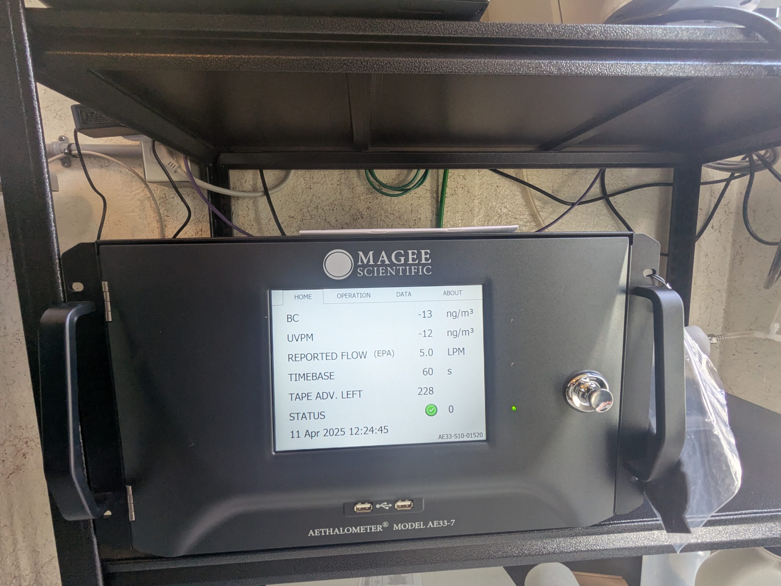
Magee Scientific Aethalometer Model AE33-7 at Sea-Tac monitoring site
A Magee Scientific Aethalometer Model AE33-7 (serial number AE33-S10-01520) is shown displaying real-time air quality data on April 11, 2025 at 12:24:45, including Black Carbon (BC) at -13 ng/m³, UVPM at -12 ng/m³, a reported EPA flow rate of 5.0 LPM, a 60-second timebase, and 228 tape advances remaining with a green status indicator. -
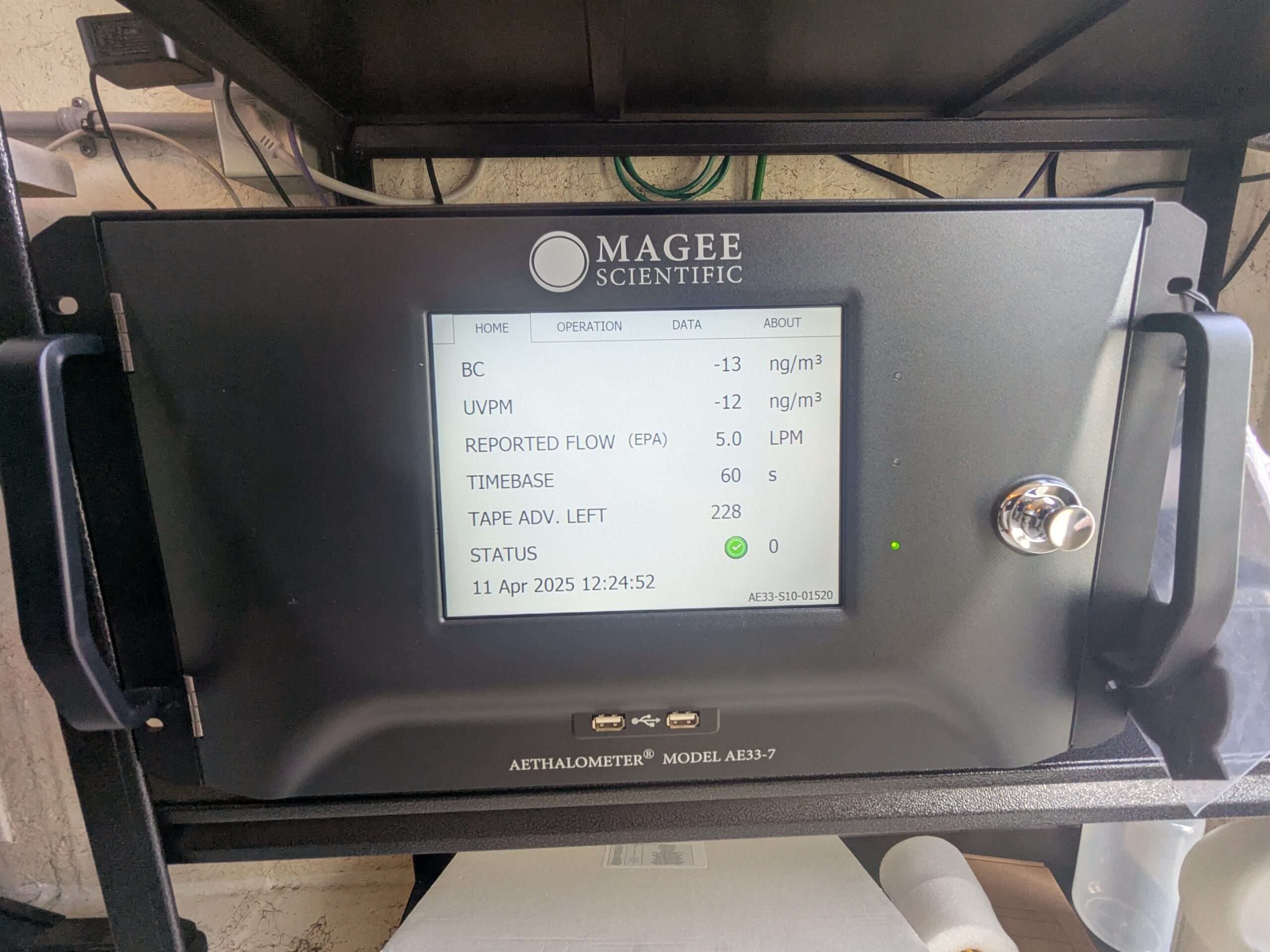
Magee Scientific Aethalometer Model AE33-7 at Sea-Tac monitoring station
A Magee Scientific Aethalometer Model AE33-7 (serial AE33-S10-01520) displays real-time air quality data on April 11, 2025 at 12:24:52, showing black carbon (BC) at -13 ng/m³, UVPM at -12 ng/m³, a reported EPA flow of 5.0 LPM, a 60-second timebase, and 228 tape advances remaining with a green status indicator. -
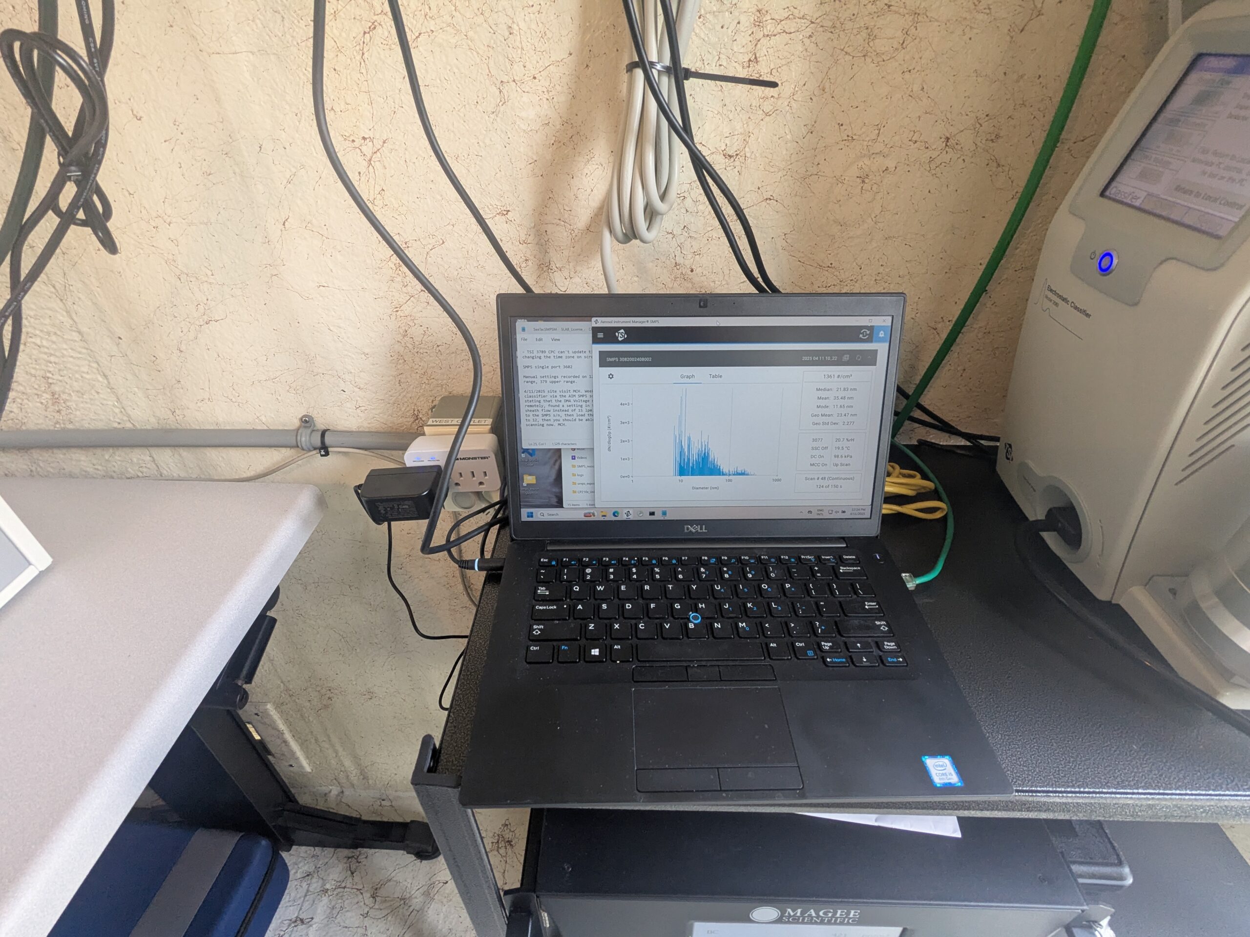
Dell laptop running particle size analyzer software with Magee Scientific instrument
A Dell laptop displays what appears to be a Scanning Mobility Particle Sizer (SMPS) or similar aerosol particle size distribution software showing a histogram of particle diameters in nanometers, alongside a terminal window. A Magee Scientific instrument (visible logo on rack below) is present, consistent with black carbon or aerosol monitoring equipment used in air quality measurement deployments.