Notes
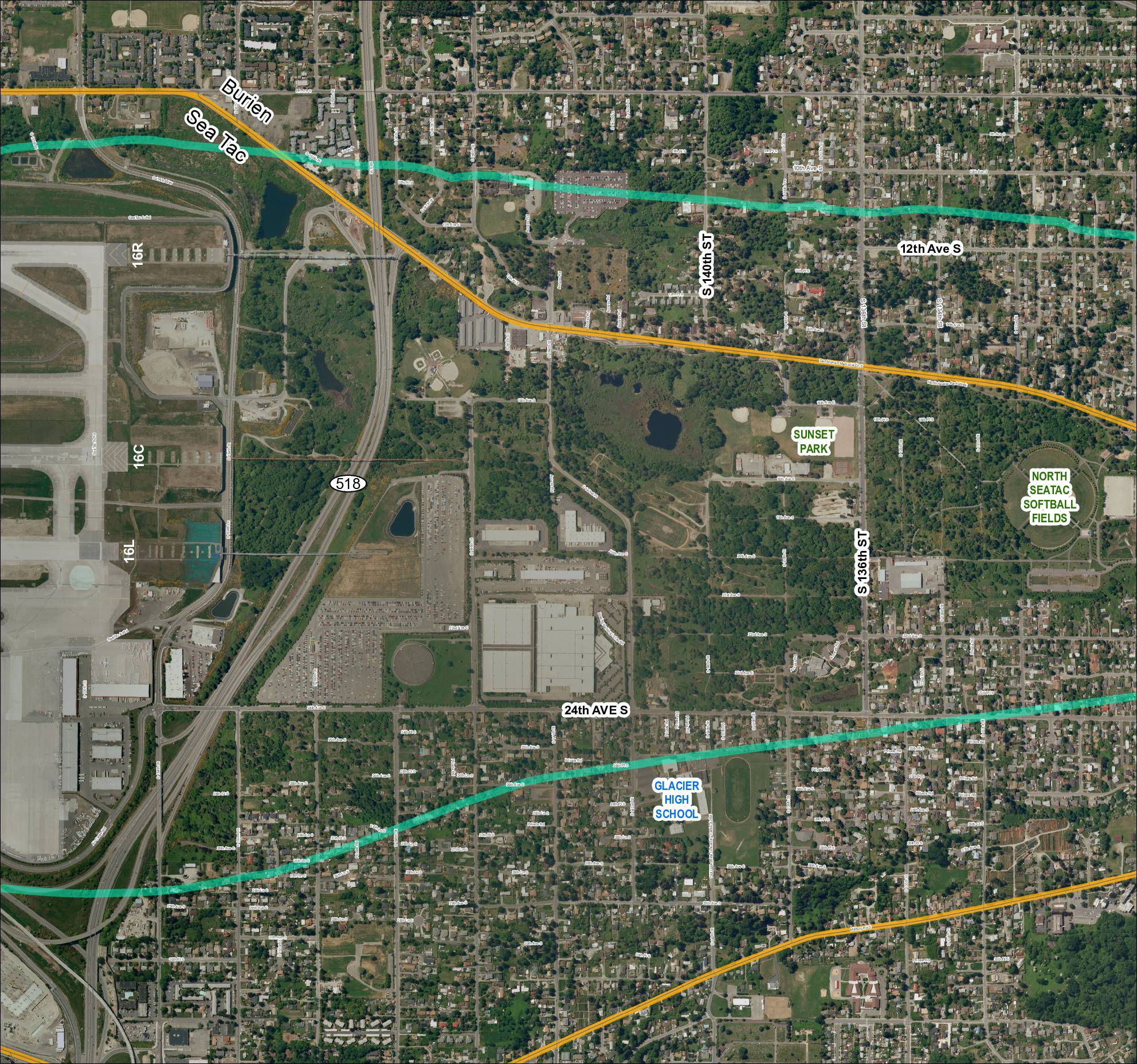
Aerial satellite map labeled Grid 4 (2018) covering the SeaTac, Burien area near Sea-Tac Airport. Shows SR 518, runways 16R, 16C, and 16L, Glacier High School, Sunset Park, North SeaTac Softball Fields, and the street grid including S 132nd St through S 157th Pl, 24th Ave S, Des Moines Memorial Dr S, and Military Rd S. The map includes color-coded overlays (teal/green and yellow lines) indicating flight corridors or noise contour boundaries. Key landmarks include North SeaTac Park, Boeing parking lot access road, and CWU Westside University Center.