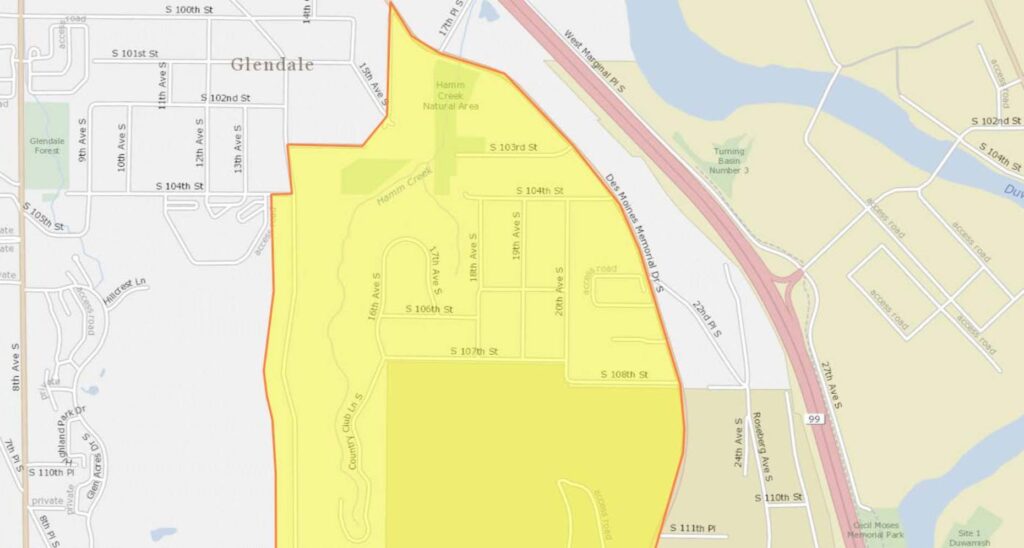
This document contains a series of maps outlining a highlighted geographic zone spanning several Seattle-area neighborhoods, including Glendale, Southern Heights, Boulevard Park, and North SeaTac. The yellow-shaded areas, bordered in red, appear to delineate a specific study or policy boundary likely related to Sea-Tac Airport noise impact zones. Streets and landmarks such as Hamm Creek Natural Area, Des Moines Memorial Drive, and Southern Heights Park are visible within and around the designated boundary.Open full document
Notes
Multi-page map document showing the DNL65 noise boundary for Sea-Tac Airport as of 2018, covering neighborhoods including Glendale, Southern Heights, Boulevard Park, and North SeaTac. The boundary area is highlighted in yellow with a red border, spanning streets from approximately S 100th St to S 132nd St and from 8th Ave S to Des Moines Memorial Dr S, encompassing Hamm Creek Natural Area, Southern Heights Park, and surrounding residential streets.