Notes
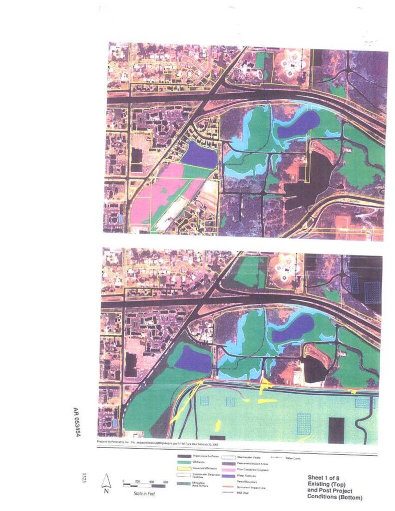
Parametrix-prepared maps (Sheets 1-3 of 8, AR 053454-053456, dated February 20, 2002) depicting existing and post-project conditions near Sea-Tac Airport, showing wetlands, impacted wetlands, impervious surfaces, stormwater detention facilities, stormwater vaults, mitigation area buffers, permanent impact areas, prior converted cropland, Miller Creek, parcel boundaries, permanent impact lines, MSE wall, and airport navigation aids. Maps cover the area around Miller Creek and the Third Runway project footprint. Scale in feet, north arrow included.