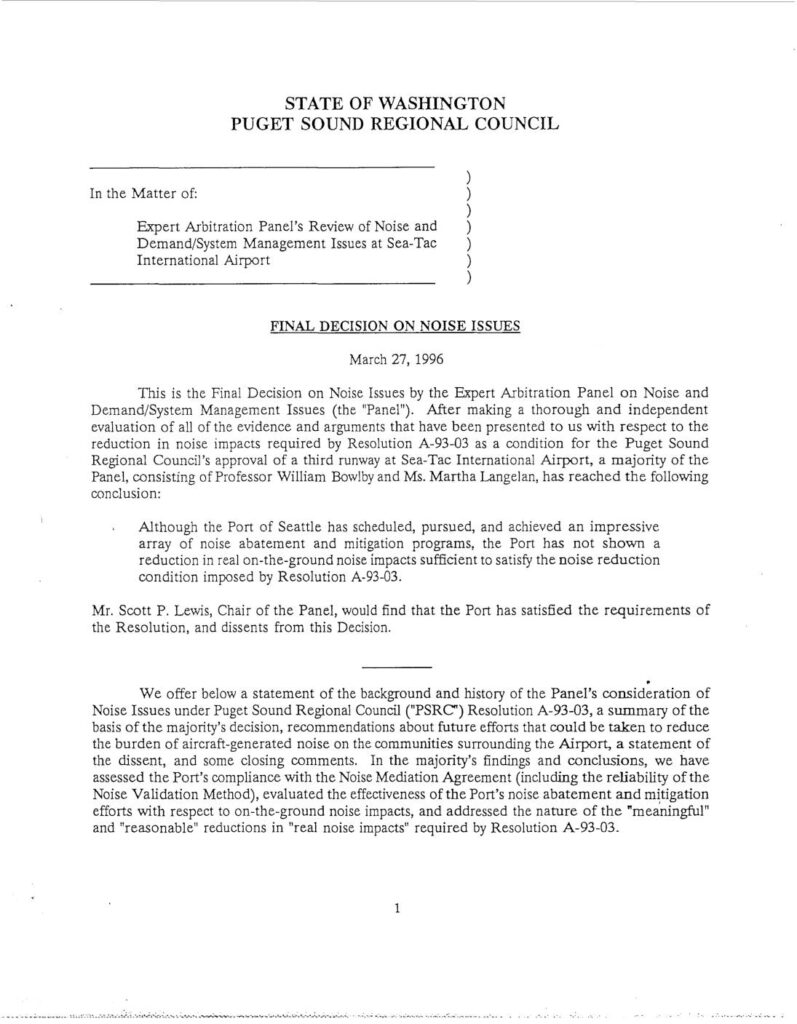
As the source for federal transportation grants, the Puget Sound Regional Council was charged with developing a system to meet the growing need for commercial aviation. When the search for a second airport failed, they authorized the Port of Seattle to build the Third Runway, with a mandate to develop a noise abatement and mitigation program. In their effort to stop the Third Runway, the ACC argued over every detail of the Port's efforts--including property buyouts and sound insulation. The dispute was meant to be settled by a three member Expert Arbitration Panel. This is their final report. It finds 2-1, that the Port's program was insufficient in several respects. Despite that, funding for the Third Runway was approved by the PSRC, and the 'Port Package' program, proceeded largely unchanged.
Expert Arbitration Panel's final decision finding that the Port of Seattle had not shown sufficient reduction in real on-the-ground noise impacts to satisfy noise reduction conditions required for approval of a third runway at Sea-Tac International Airport. The majority decision concluded the Port's noise abatement programs were insufficient despite being impressive in scope.
continue...
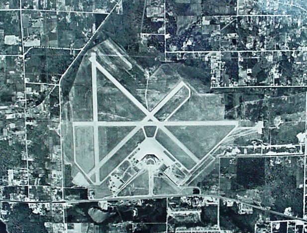 1948-01-01
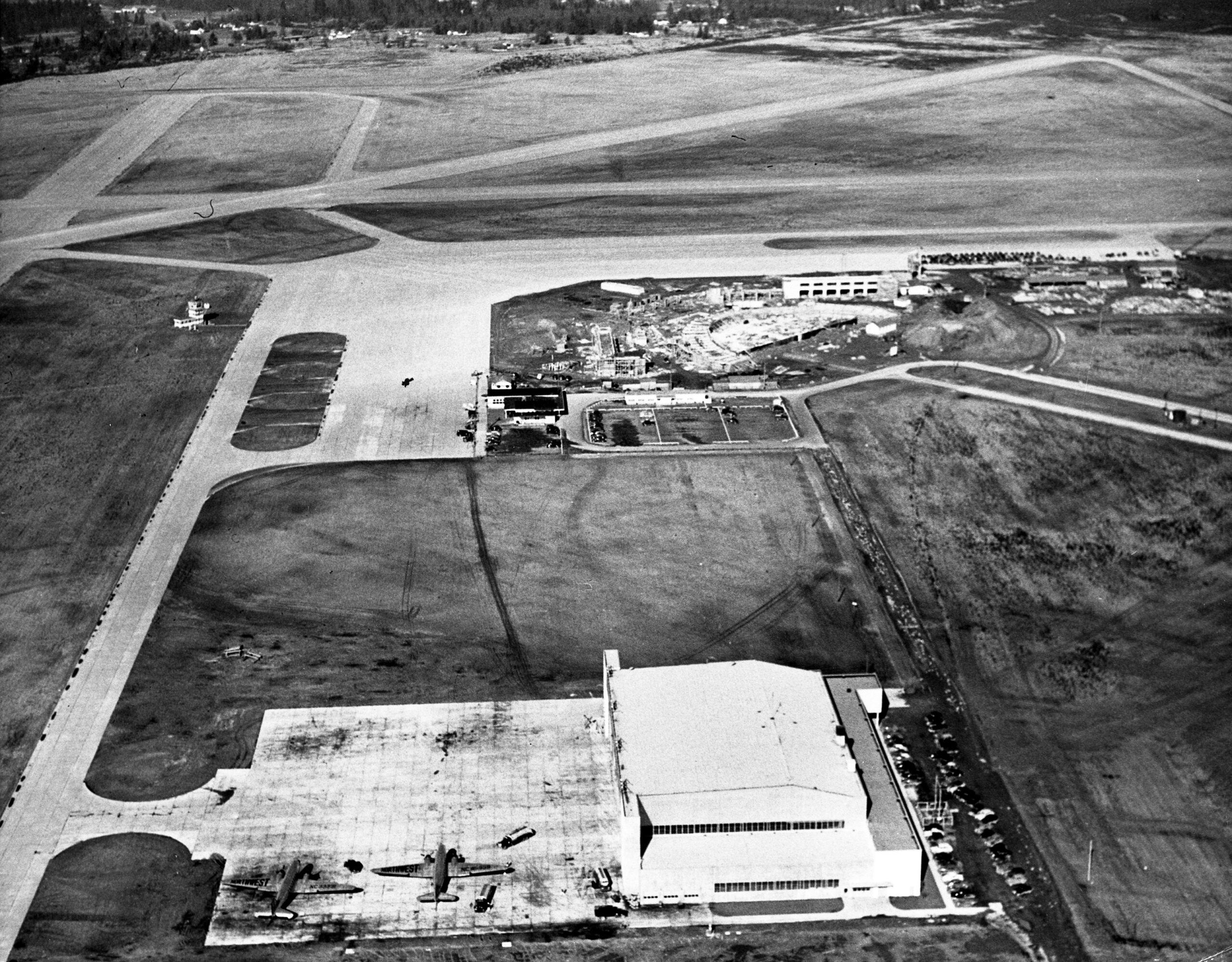 1947-01-01
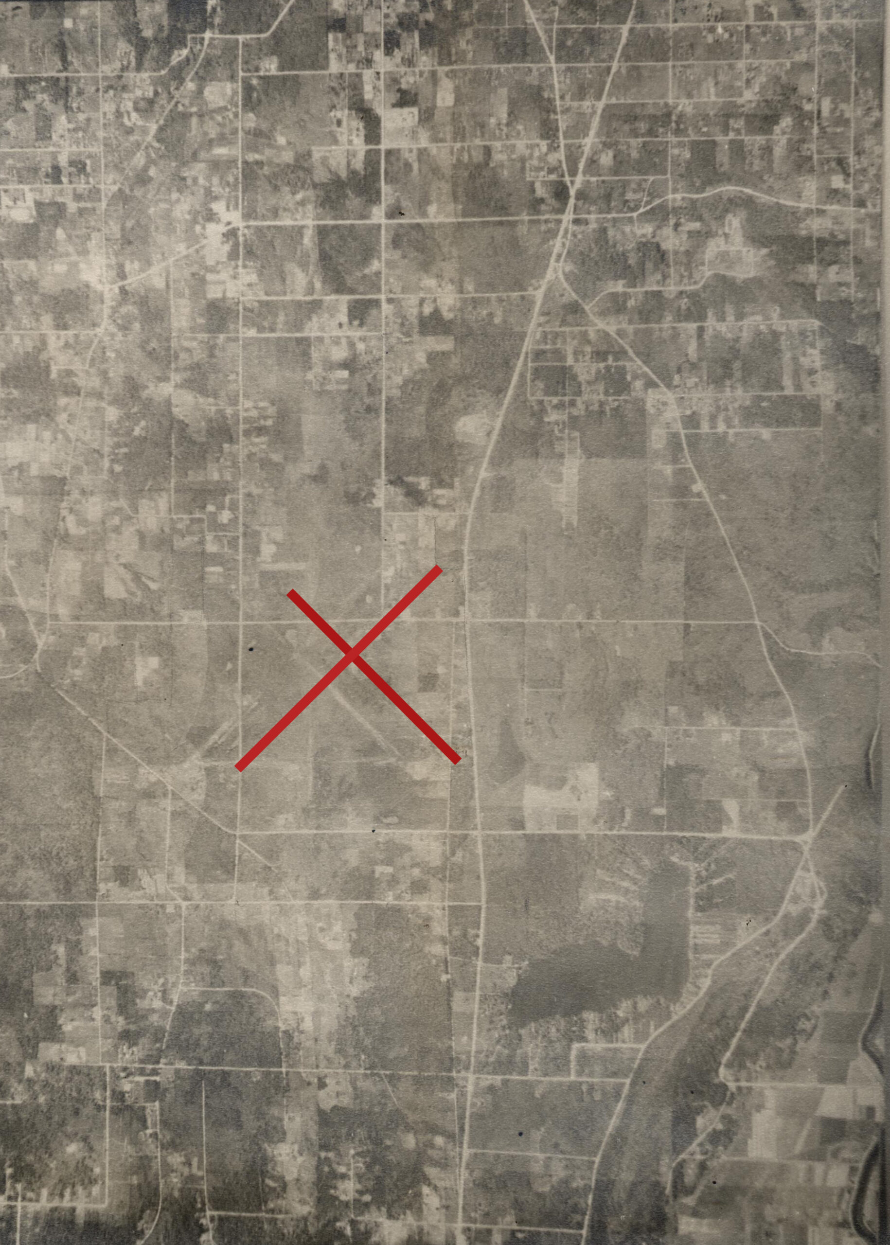 1942-04-13