TagNSTP(84)
-
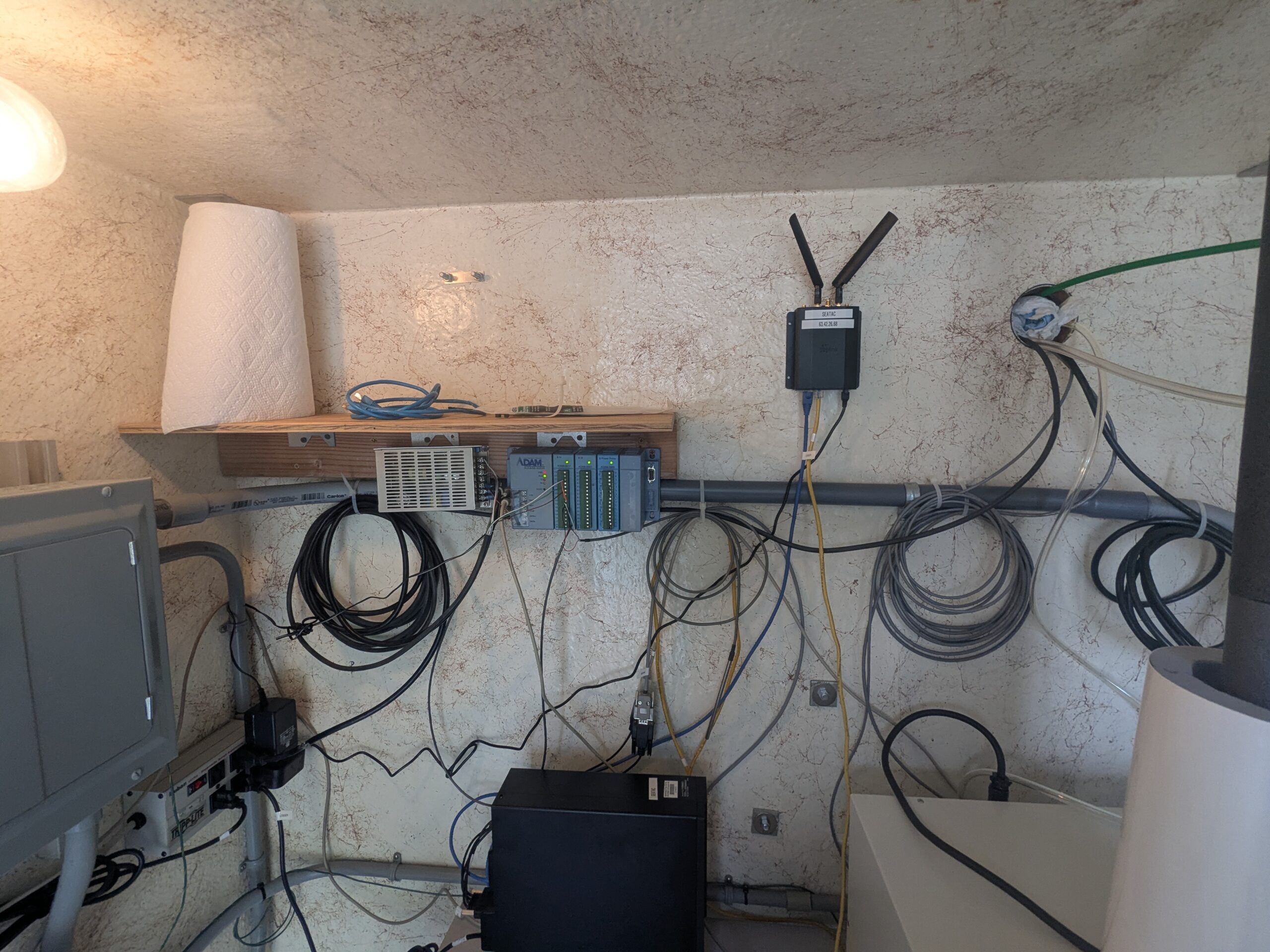
Data acquisition and wireless communication equipment installation
A wall-mounted equipment setup featuring an Advantech ADAM data acquisition module, a wireless router/gateway device with dual antennas (labeled with what appears to be 'ROC' or similar text), and various coiled sensor cables. A small shelf holds additional networking hardware and a roll of paper towel, with multiple cable runs along a PVC conduit on a textured wall. -
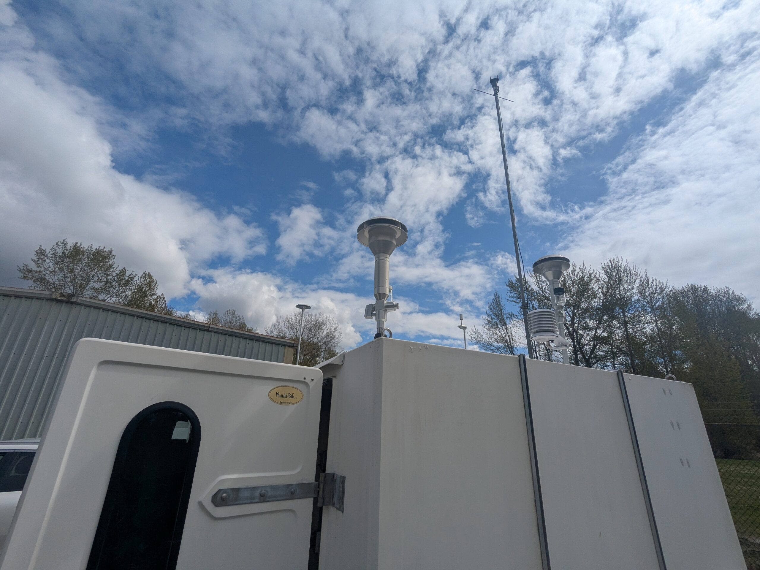
Air Quality Monitoring Station with Sampling Inlets
White instrumentation enclosures (one bearing a 'Manti-lab' or similar brand oval label) topped with mushroom-cap ambient air sampling inlets and a meteorological sensor assembly, photographed against a partly cloudy sky. A tall antenna mast and additional monitoring equipment are visible in the background near a metal utility building. -

Outdoor Air Quality Monitoring Station with PM Samplers and Met Sensors
A white outdoor environmental monitoring enclosure equipped with two inlet stacks (likely PM2.5 or TSP samplers), a meteorological sensor array (temperature/humidity radiation shield), a vertical antenna, and associated cabling. The station is situated on a gravel lot near corrugated metal structures, with graffiti-marked walls visible in the background. -
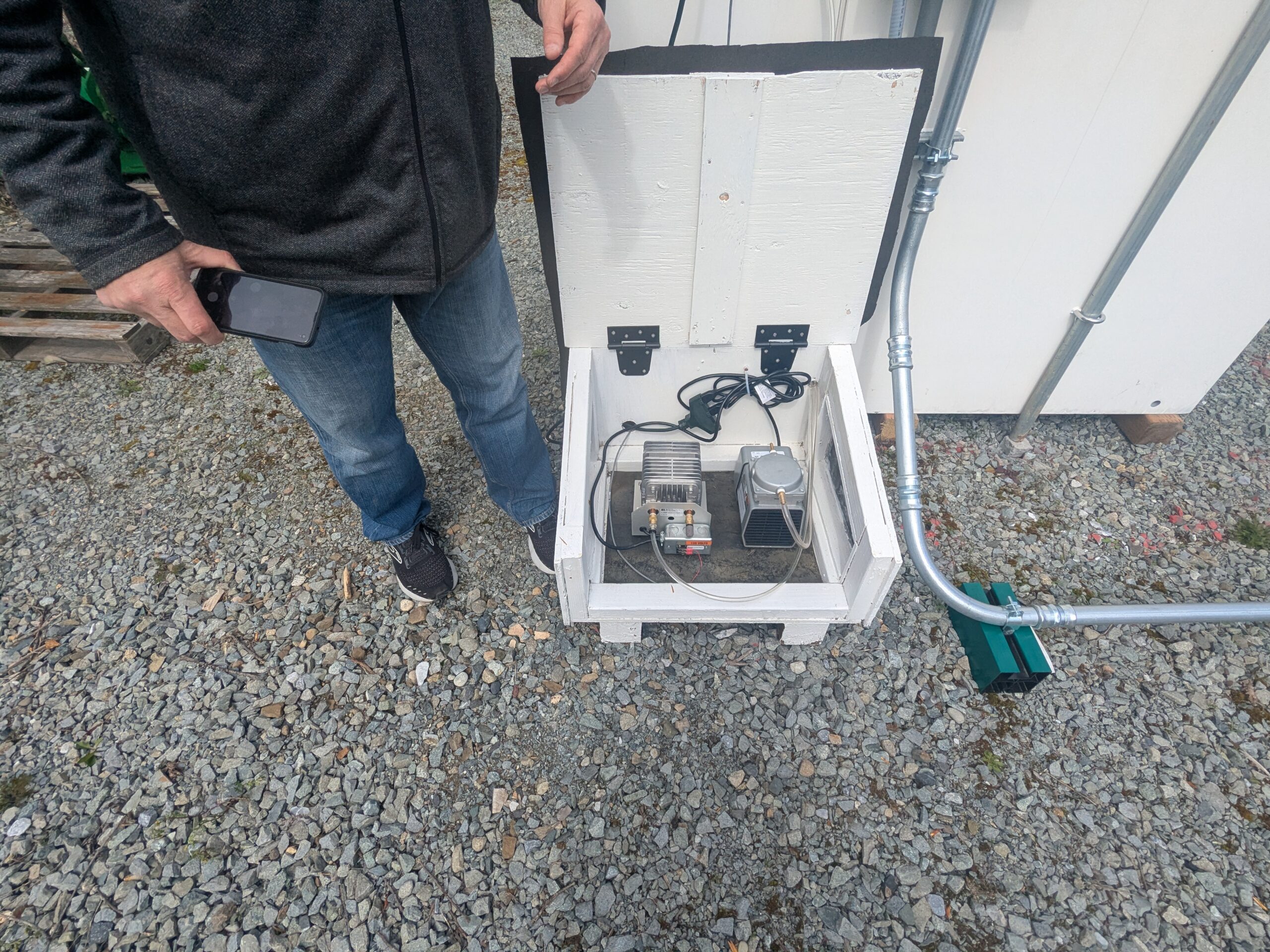
Outdoor noise monitoring equipment enclosure
A white wooden enclosure box is opened to reveal what appears to be air pump or compressor equipment with electrical connections, situated on a gravel surface. Metal conduit runs from the enclosure to a nearby structure, with a green sensor or junction box visible at the end of the conduit — consistent with noise monitoring station infrastructure. -
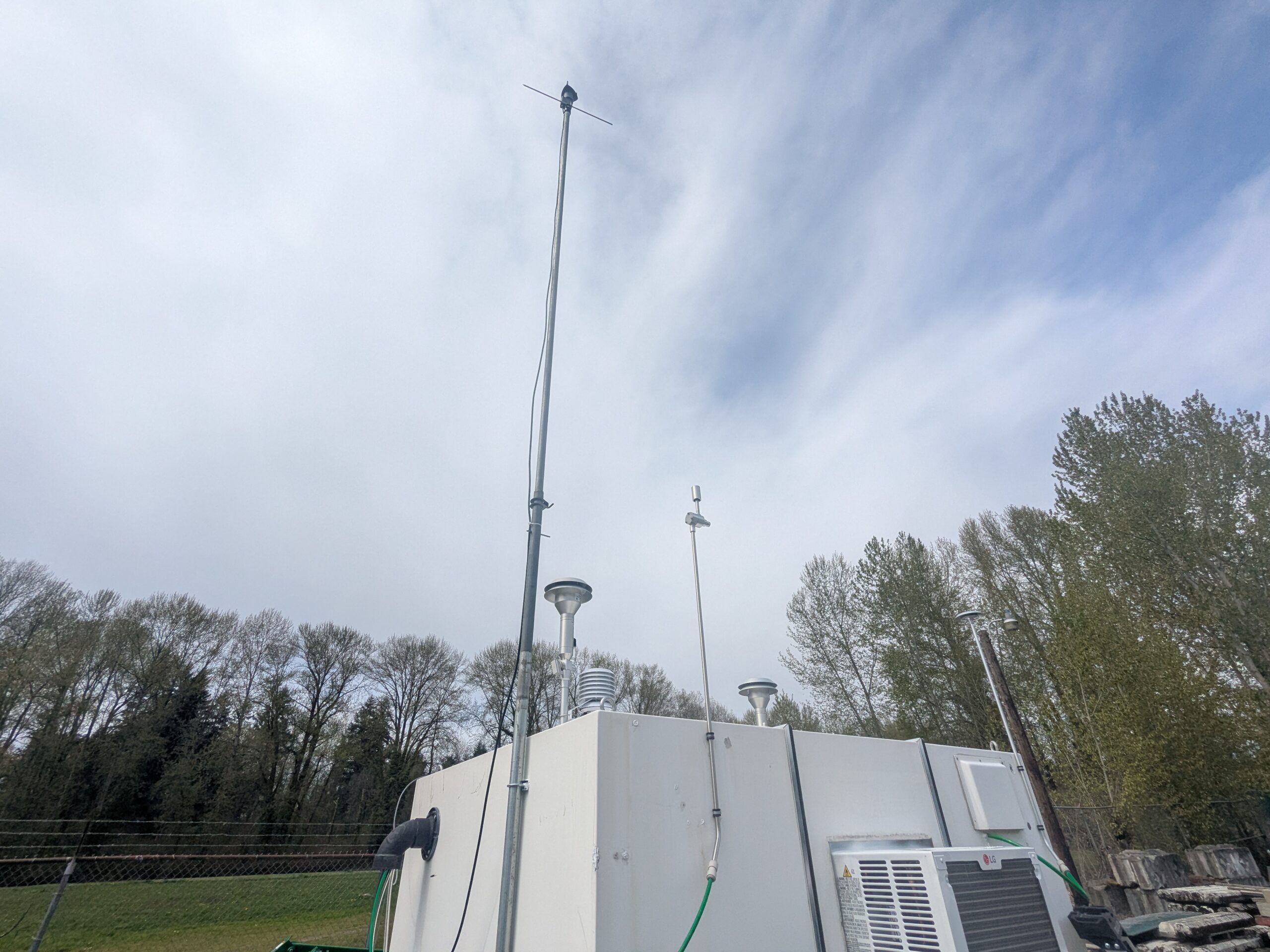
Air quality or environmental monitoring station with antenna mast
A white equipment enclosure or monitoring shelter fitted with air sampling inlet stacks, a tall antenna mast with a wind vane or lightning rod at its apex, a smaller communications antenna, and an LG air conditioning unit. The setup is consistent with an ambient air quality or meteorological monitoring station, surrounded by trees and a chain-link fence. -
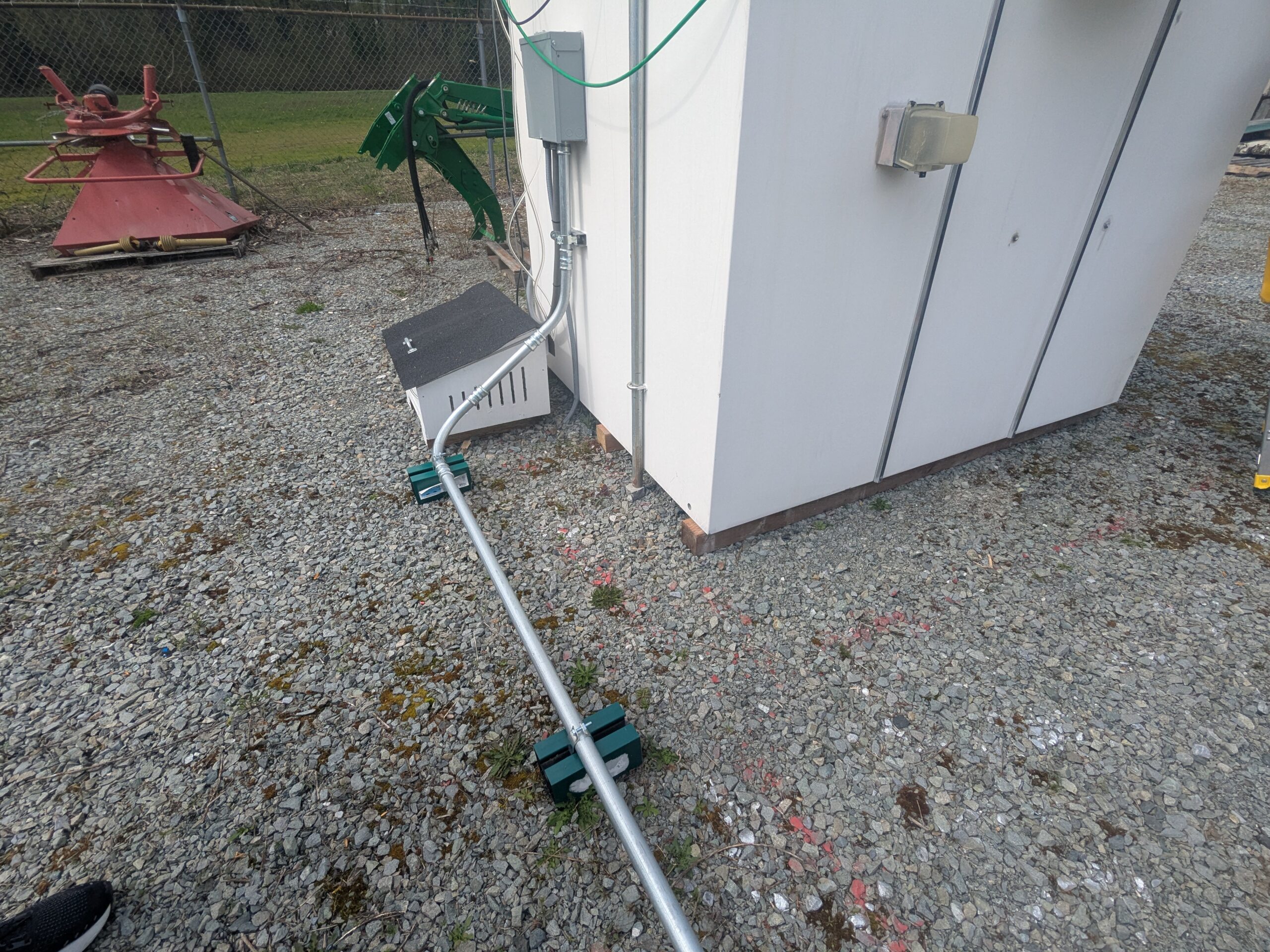
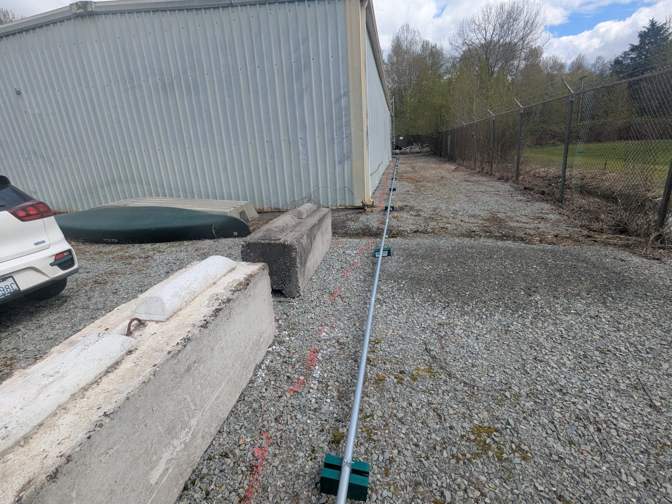
Conduit run with weighted supports near portable building
A metallic electrical conduit run is secured along a gravel surface using green-colored weighted pipe supports, leading from a junction box into a small white portable or modular building. Additional electrical infrastructure, including a wall-mounted enclosure and conduit riser, is visible on the exterior of the building. -
-
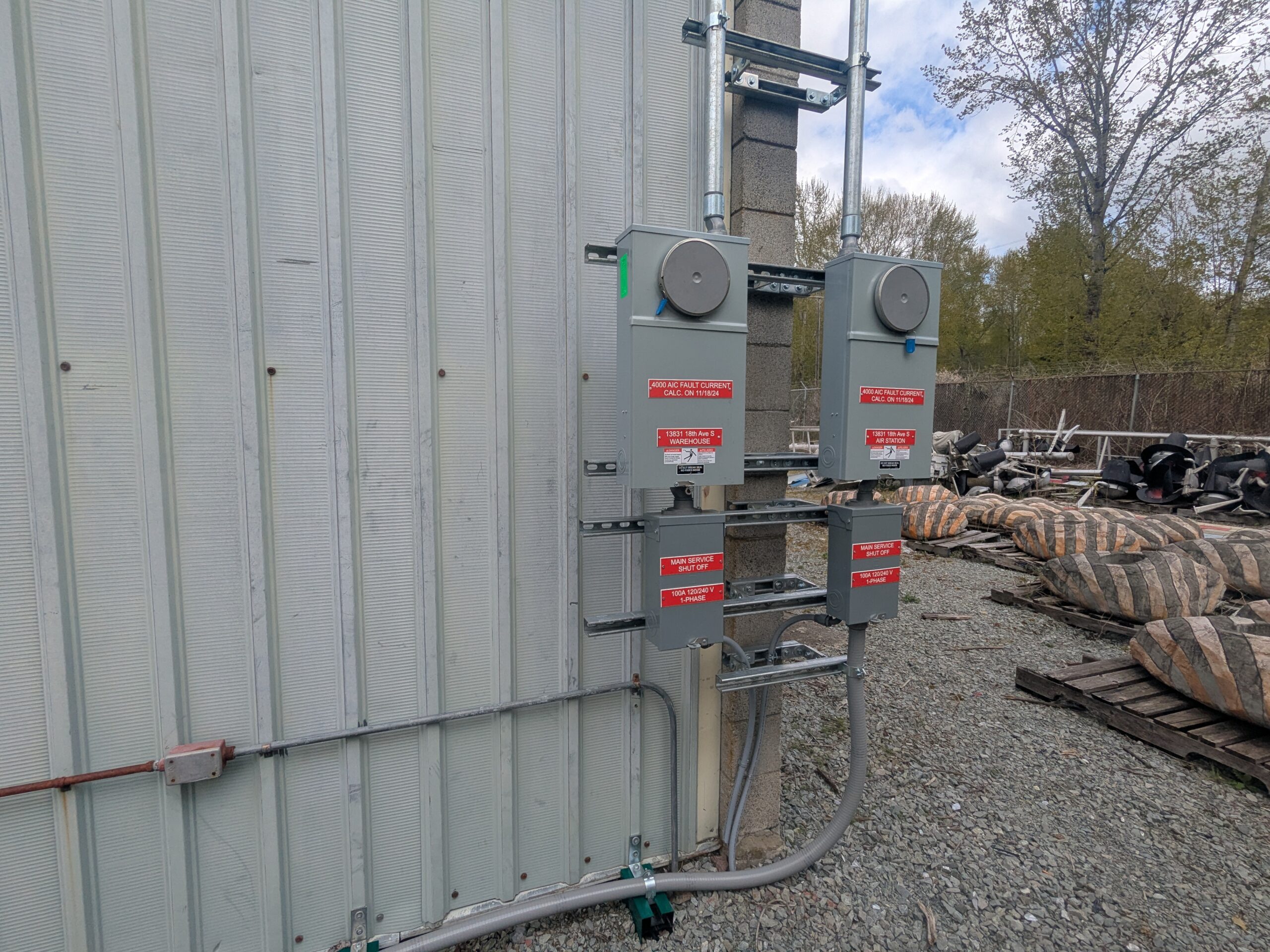
Electrical Service Meters – 13631 18th Ave S, Air Station and Warehouse
Two exterior electrical meter/disconnect assemblies mounted on a corrugated metal building wall at 13631 18th Ave S. Labels identify the left unit as serving the 'Warehouse' and the right as the 'Air Station,' both rated 100A 120/240V 1-Phase with a Main Service Shut Off, and both bearing a '4000 AIC Fault Current Calc. on 11/18/24' sticker. -
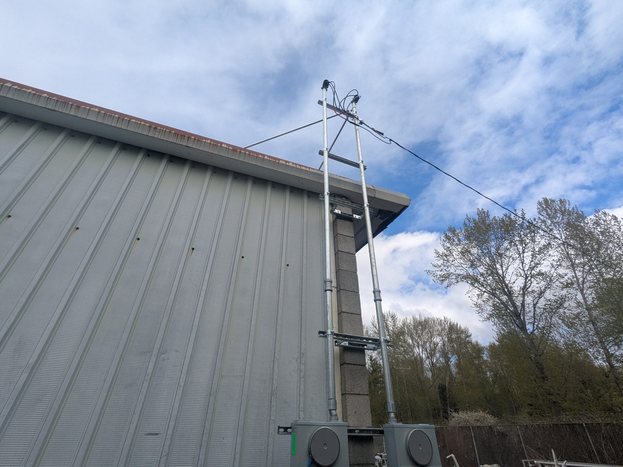
Exterior antenna/sensor mast mounted on metal building wall
A galvanized steel mast with cross-bracing and guy wires is mounted on the exterior wall of a corrugated metal building, with what appears to be monitoring equipment (possibly acoustic or meteorological sensors) at the top. Gray electrical enclosures are visible at the base of the installation. -
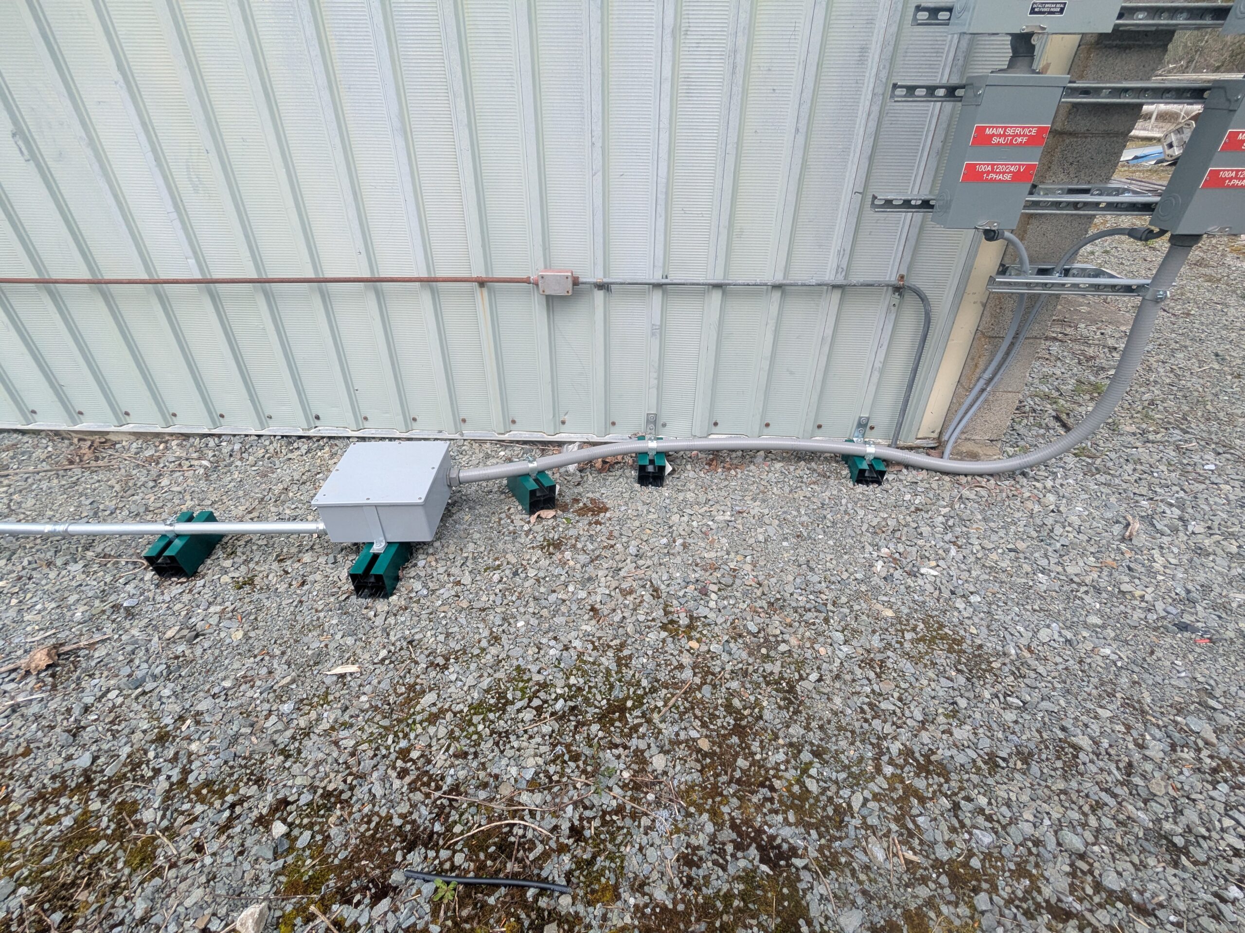
Electrical conduit installation at metal building exterior
Exterior electrical installation showing EMT conduit runs supported by green conduit supports on gravel, connecting to a junction box and terminating at a service panel labeled 'Main Service Shut Off, 100A 120/240V 1-Phase.' A bare copper grounding conductor runs along the building's corrugated metal wall.