TagNSTP(84)
-
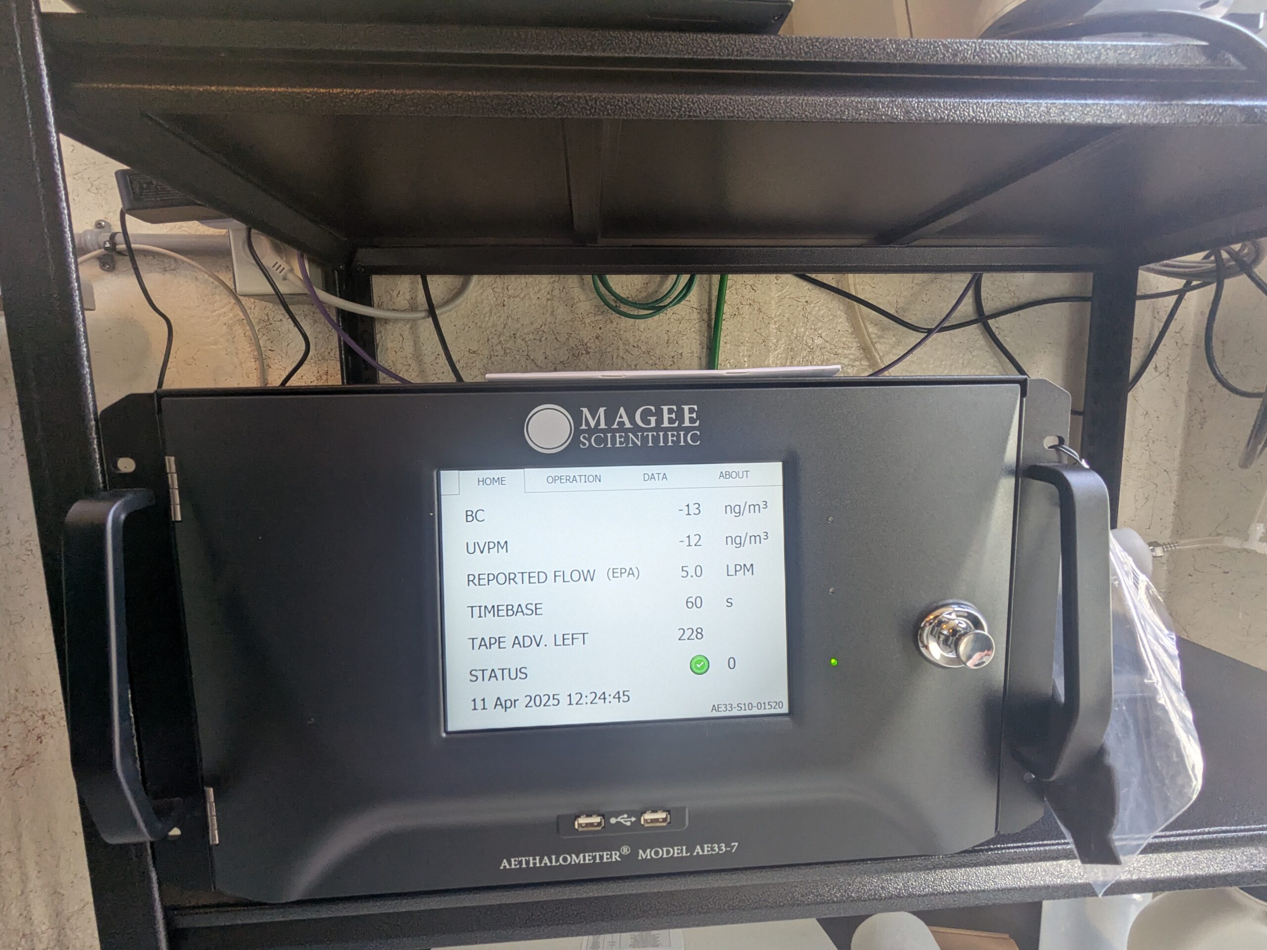
Magee Scientific Aethalometer Model AE33-7 at Sea-Tac monitoring site
A Magee Scientific Aethalometer Model AE33-7 (serial number AE33-S10-01520) is shown displaying real-time air quality data on April 11, 2025 at 12:24:45, including Black Carbon (BC) at -13 ng/m³, UVPM at -12 ng/m³, a reported EPA flow rate of 5.0 LPM, a 60-second timebase, and 228 tape advances remaining with a green status indicator. -
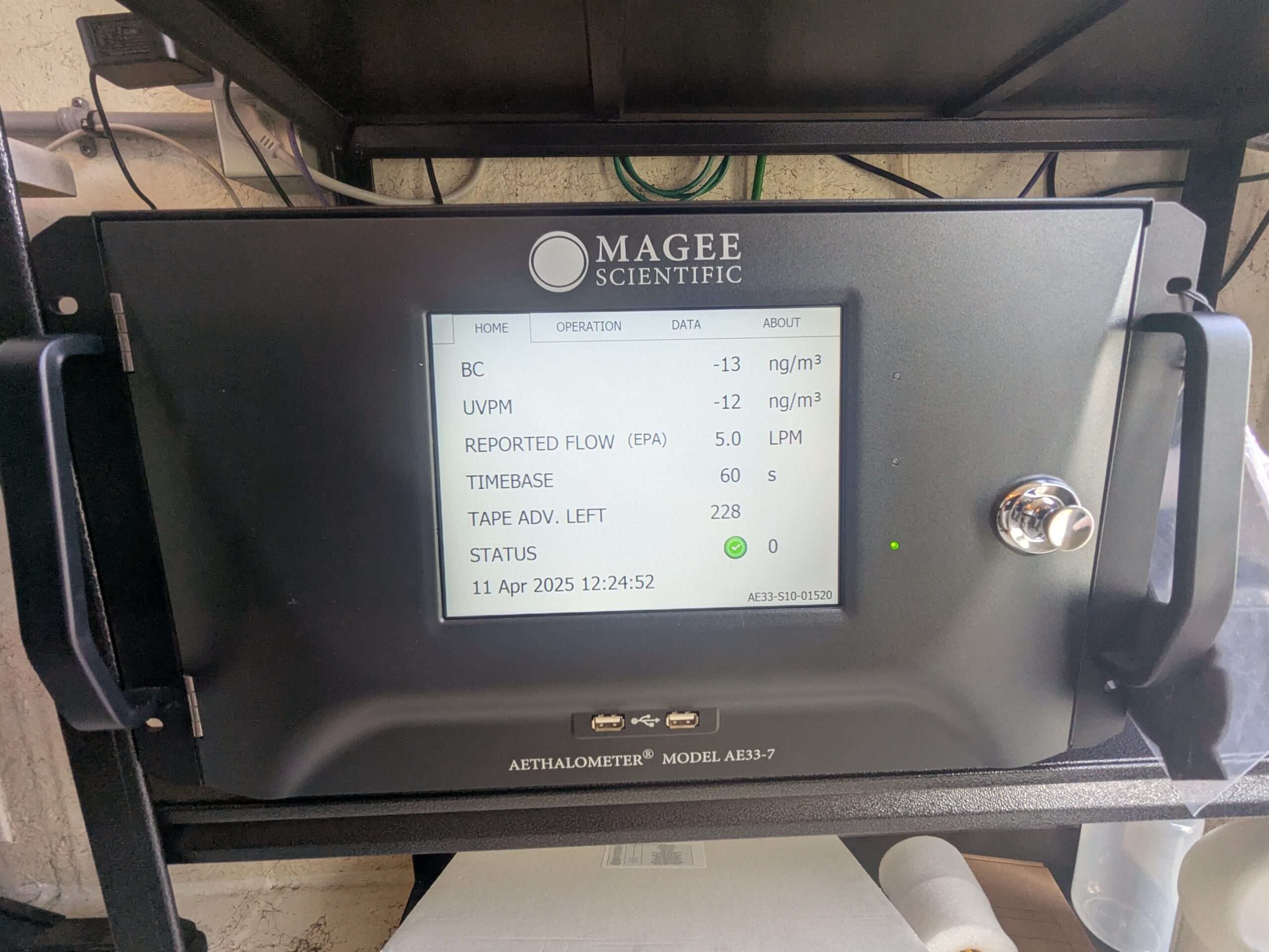
Magee Scientific Aethalometer Model AE33-7 at Sea-Tac monitoring station
A Magee Scientific Aethalometer Model AE33-7 (serial AE33-S10-01520) displays real-time air quality data on April 11, 2025 at 12:24:52, showing black carbon (BC) at -13 ng/m³, UVPM at -12 ng/m³, a reported EPA flow of 5.0 LPM, a 60-second timebase, and 228 tape advances remaining with a green status indicator. -
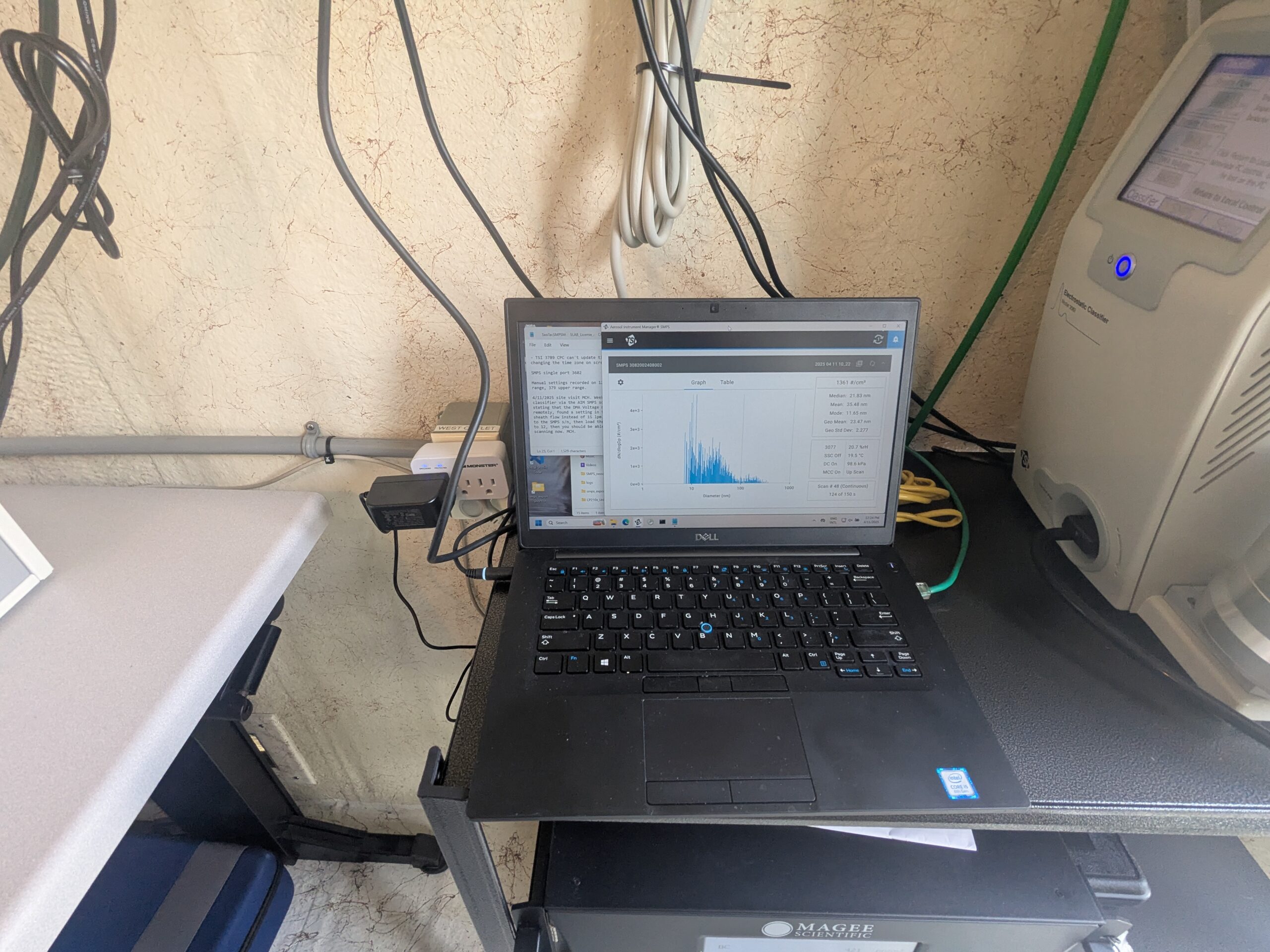
Dell laptop running particle size analyzer software with Magee Scientific instrument
A Dell laptop displays what appears to be a Scanning Mobility Particle Sizer (SMPS) or similar aerosol particle size distribution software showing a histogram of particle diameters in nanometers, alongside a terminal window. A Magee Scientific instrument (visible logo on rack below) is present, consistent with black carbon or aerosol monitoring equipment used in air quality measurement deployments. -
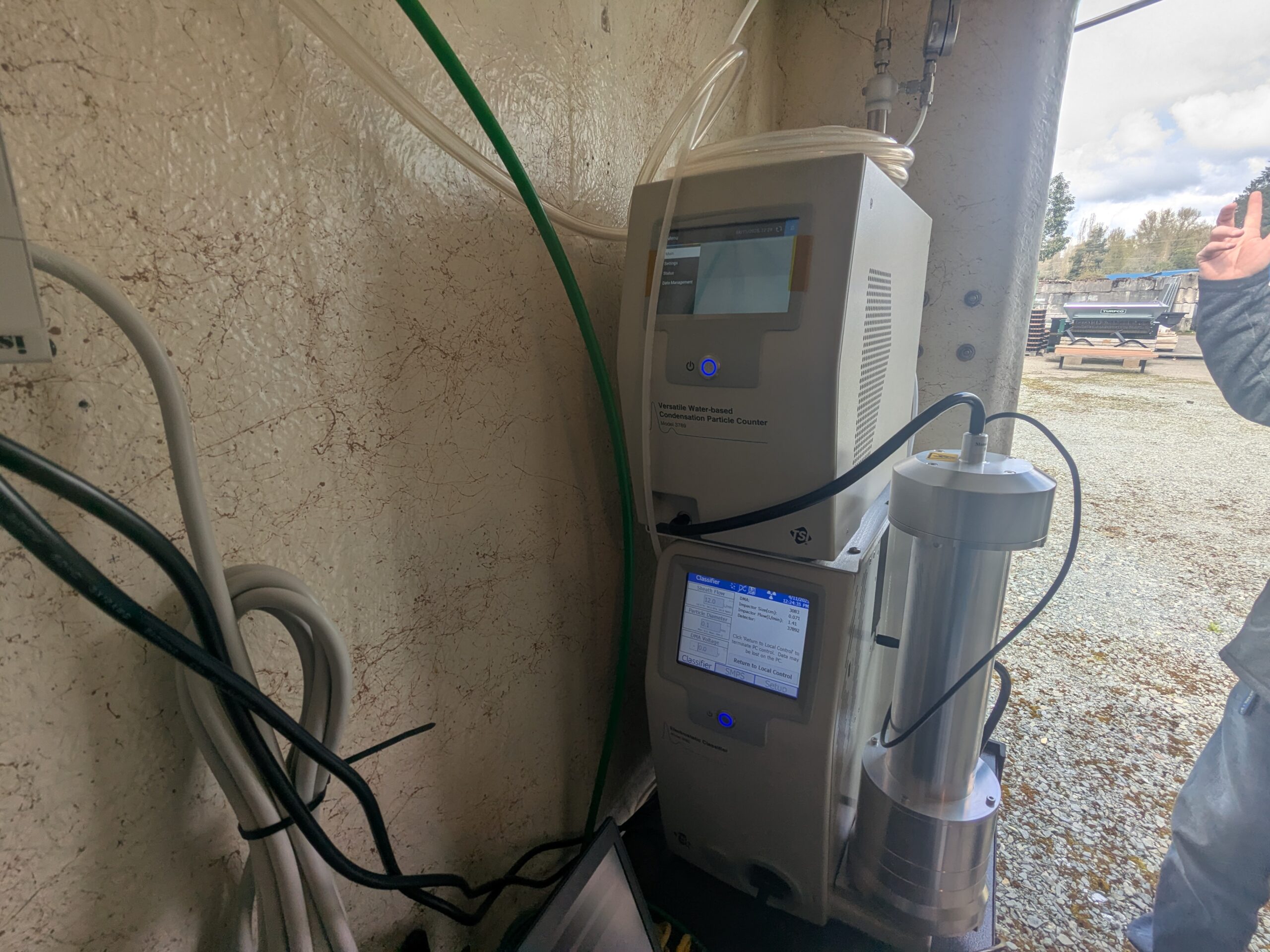
TSI Versatile Water-based Condensation Particle Counter and Classifier at outdoor monitoring site
A TSI Versatile Water-based Condensation Particle Counter (Model 3789, per visible label) is stacked above a TSI Classifier unit, both displaying active touchscreen readouts. The instruments are connected via tubing and cables and appear to be deployed at an outdoor air quality or ultrafine particle monitoring station, consistent with near-airport aerosol measurement campaigns. -
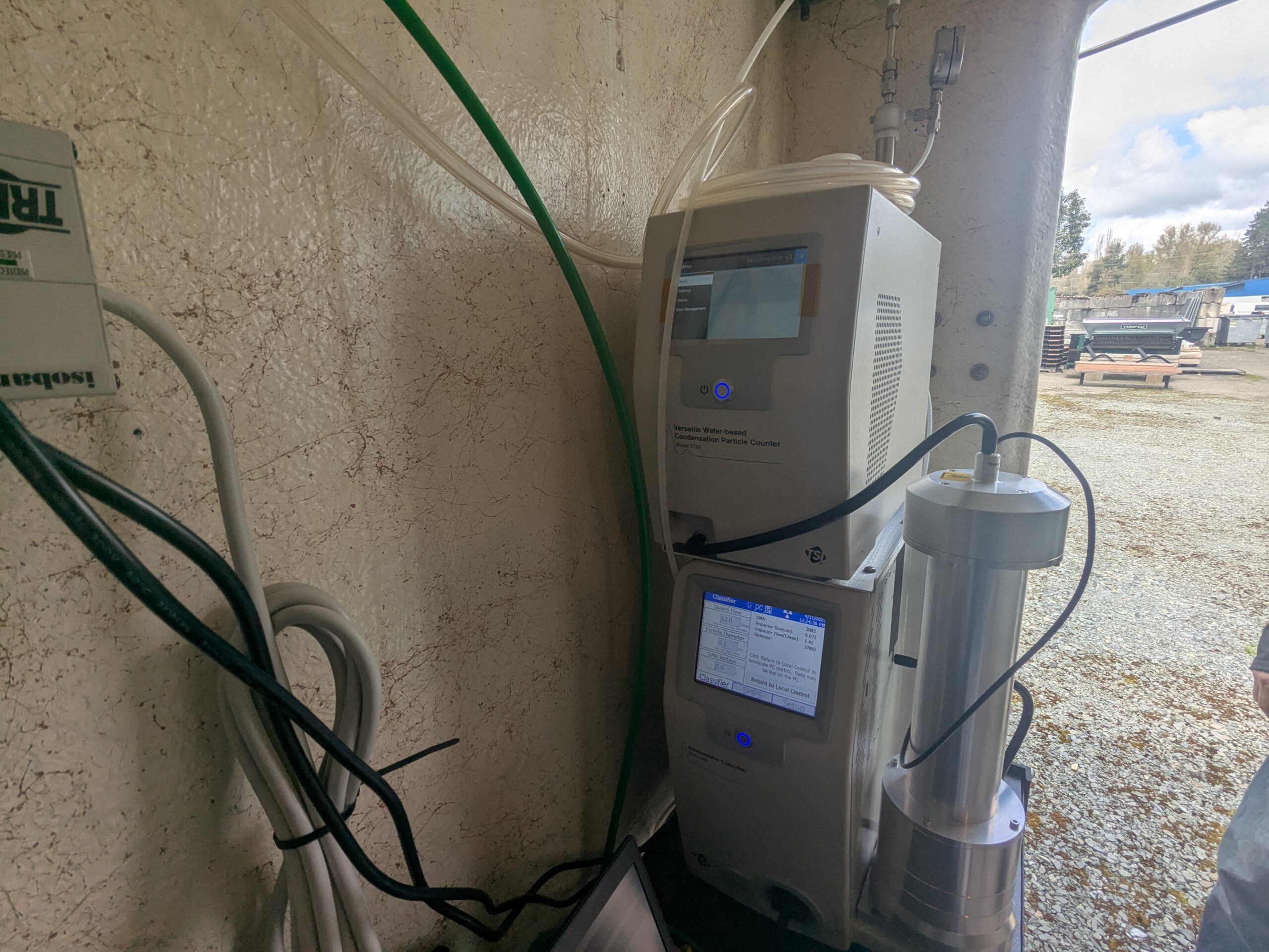
TSI Condensation Particle Counter and Classifier instrument stack
A TSI-brand 'Versatile Water-based Condensation Particle Counter' (upper unit) is stacked atop a TSI Classifier (lower unit with blue touchscreen display), connected by tubing and cables. The instrument stack, used for aerosol/ultrafine particle measurement, is mounted against a stucco wall at an outdoor field site alongside green sampling tubing and a cylindrical inlet assembly. -
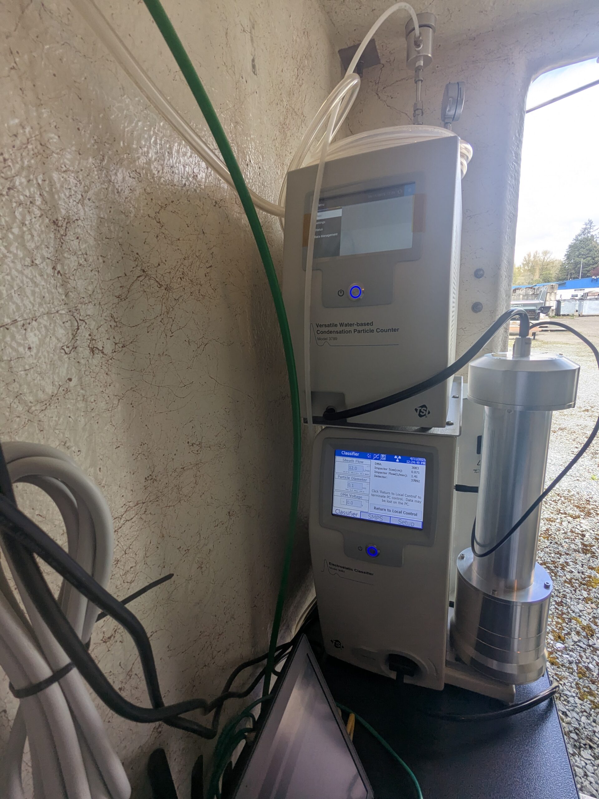
TSI SMPS System with Water-based CPC Model 3789 and Electrostatic Classifier
A TSI Scanning Mobility Particle Sizer (SMPS) system is shown outdoors, consisting of a TSI Versatile Water-based Condensation Particle Counter (Model 3789) stacked above a TSI Electrostatic Classifier. The classifier display screen shows operational parameters including sheath flow, particle diameter, and DMA voltage, with the system appearing to be deployed for ambient aerosol particle size distribution measurements. -
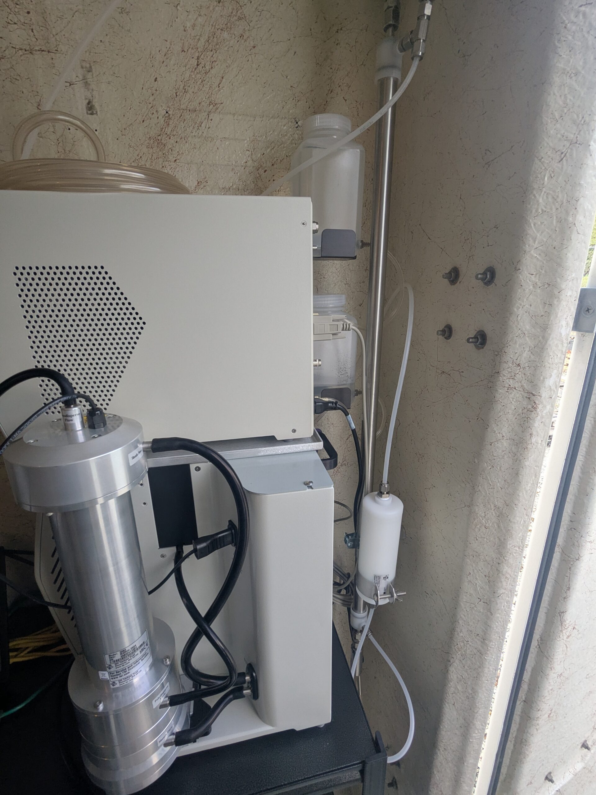
Outdoor air quality or environmental monitoring instrumentation
The image shows scientific monitoring equipment installed outdoors against a stucco wall, including what appears to be a cylindrical pump or sensor unit, a white electronics enclosure, tubing, filter canisters, and a vertical inlet probe — consistent with an ambient air sampling or noise/environmental monitoring station. No visible text, logos, or labels are legible enough to identify the specific manufacturer, agency, or measurement purpose. -
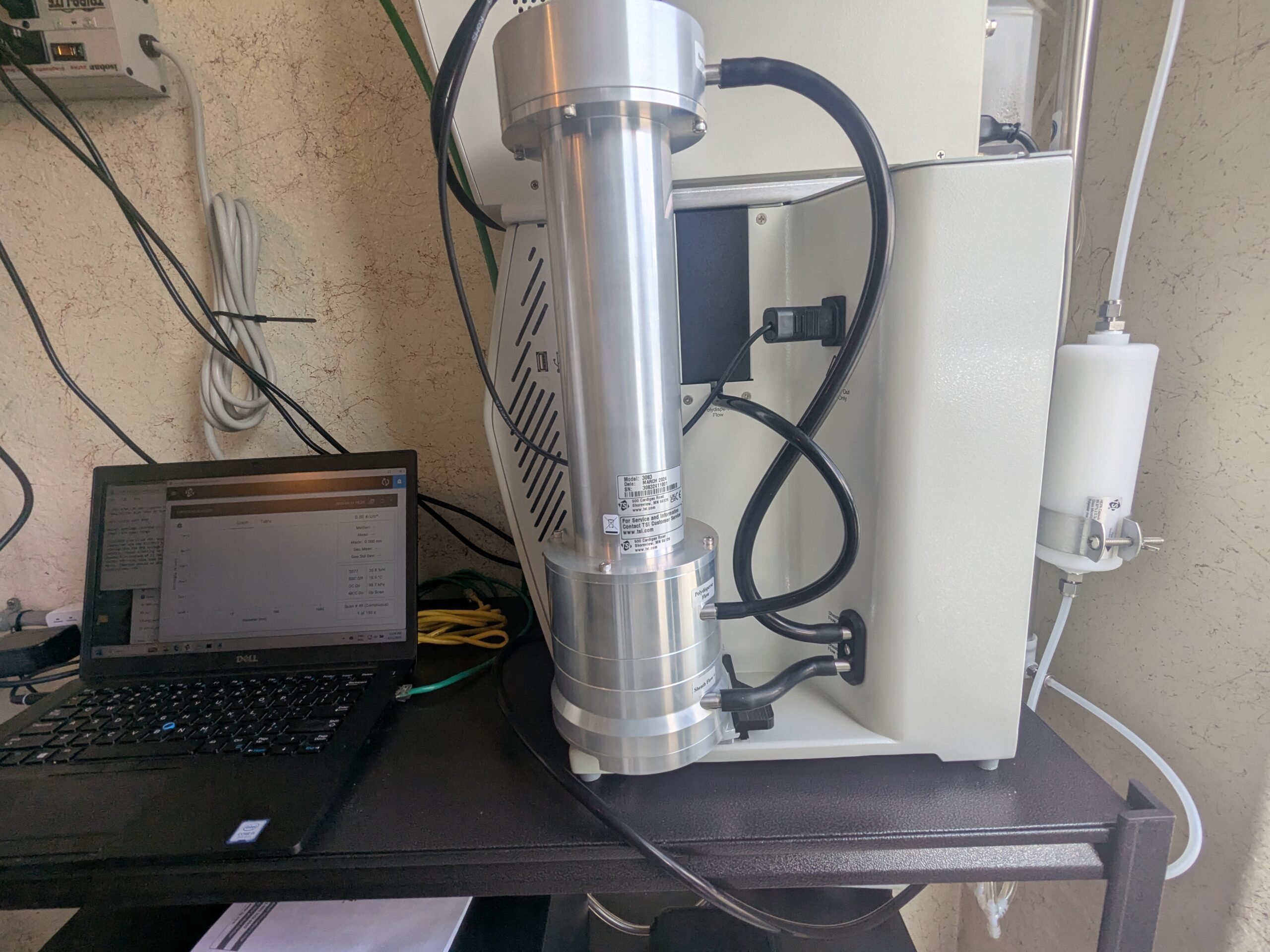
Portable sound level meter or acoustic measurement instrument with Dell laptop
A scientific instrument with a cylindrical silver sensor column — consistent with a sound level meter or acoustic analyzer — is shown connected to a Dell laptop displaying measurement software. A label on the instrument is partially visible but not fully legible; the setup appears configured for environmental noise data collection. -
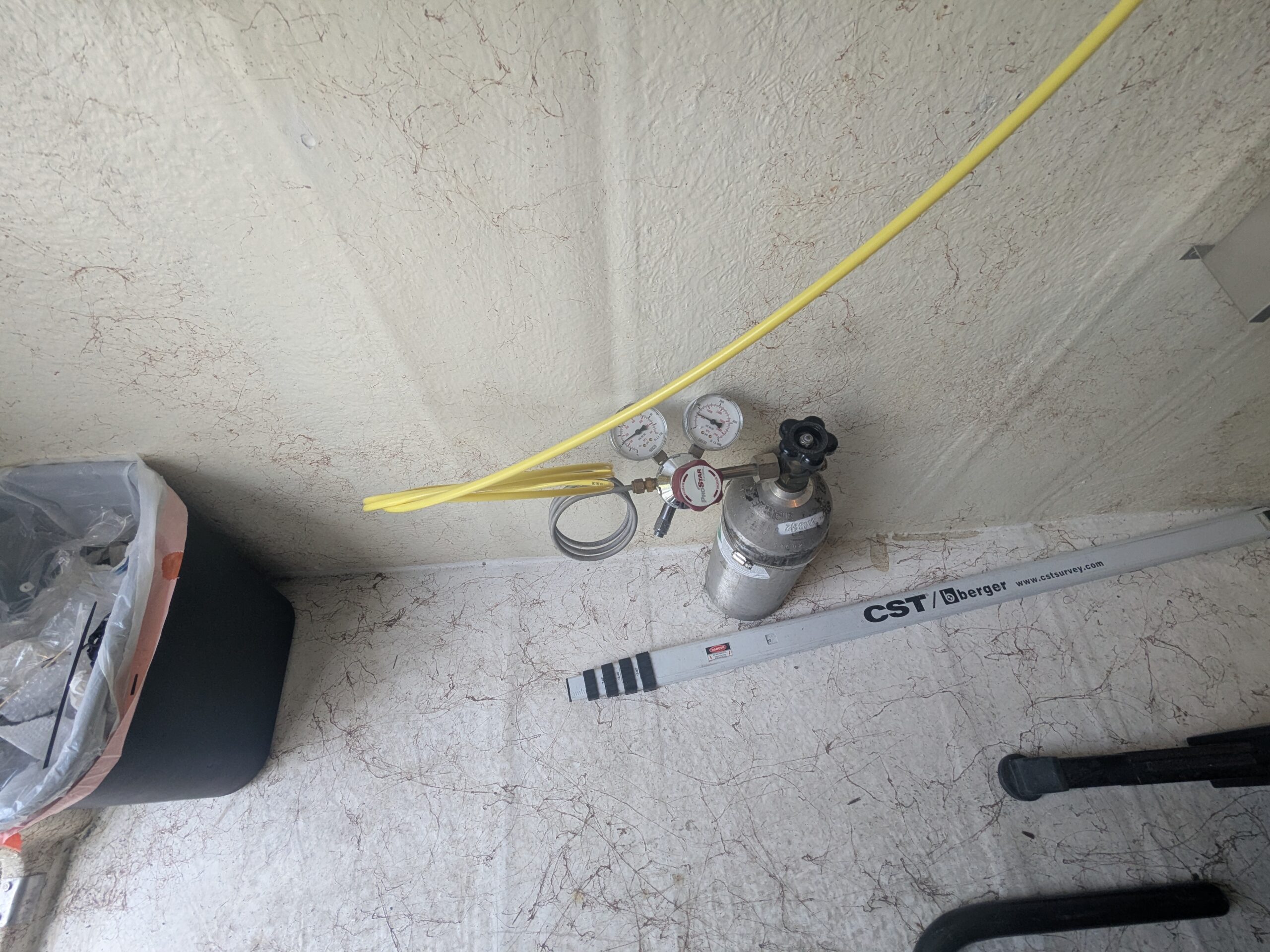
Gas cylinder with dual-gauge regulator and CST/Berger survey rod
A small compressed gas cylinder fitted with a dual-gauge pressure regulator and yellow tubing is visible, along with a CST/Berger brand surveying grade rod (website www.cstsurvey.com visible). The items appear to be stored on the floor of a vehicle or portable workspace. -
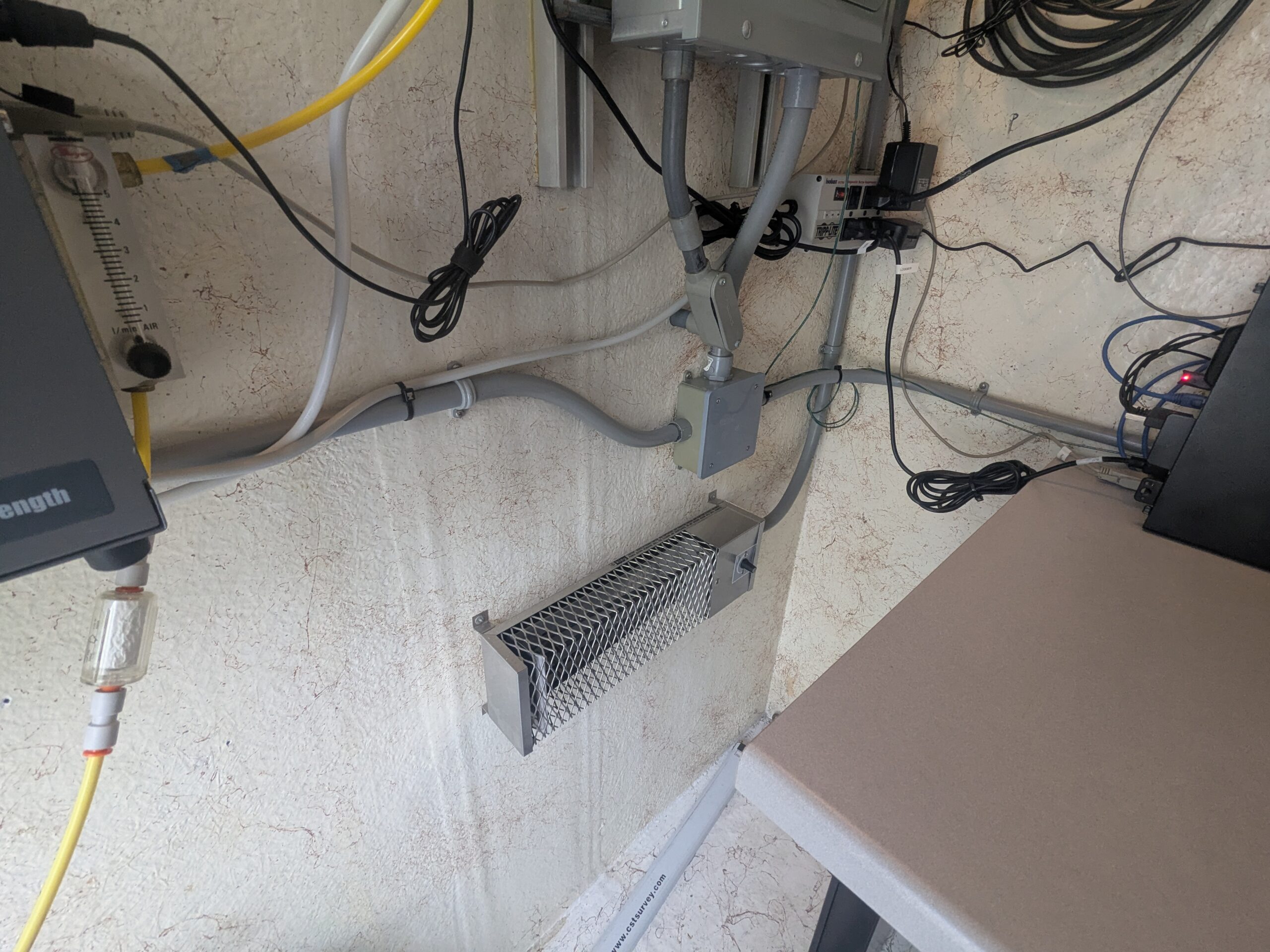
Noise monitoring station equipment installation on stucco wall
Wall-mounted technical equipment including conduit runs, a junction box, a wire mesh-covered heater or filter unit, an air flowmeter (graduated scale visible, labeled 'l/min AIR'), yellow fiber optic or signal cable, a network switch with active indicator lights, and a watermark reading 'www.cstsurvey.com' on a conduit. Configuration is consistent with an environmental or acoustic monitoring station installation.