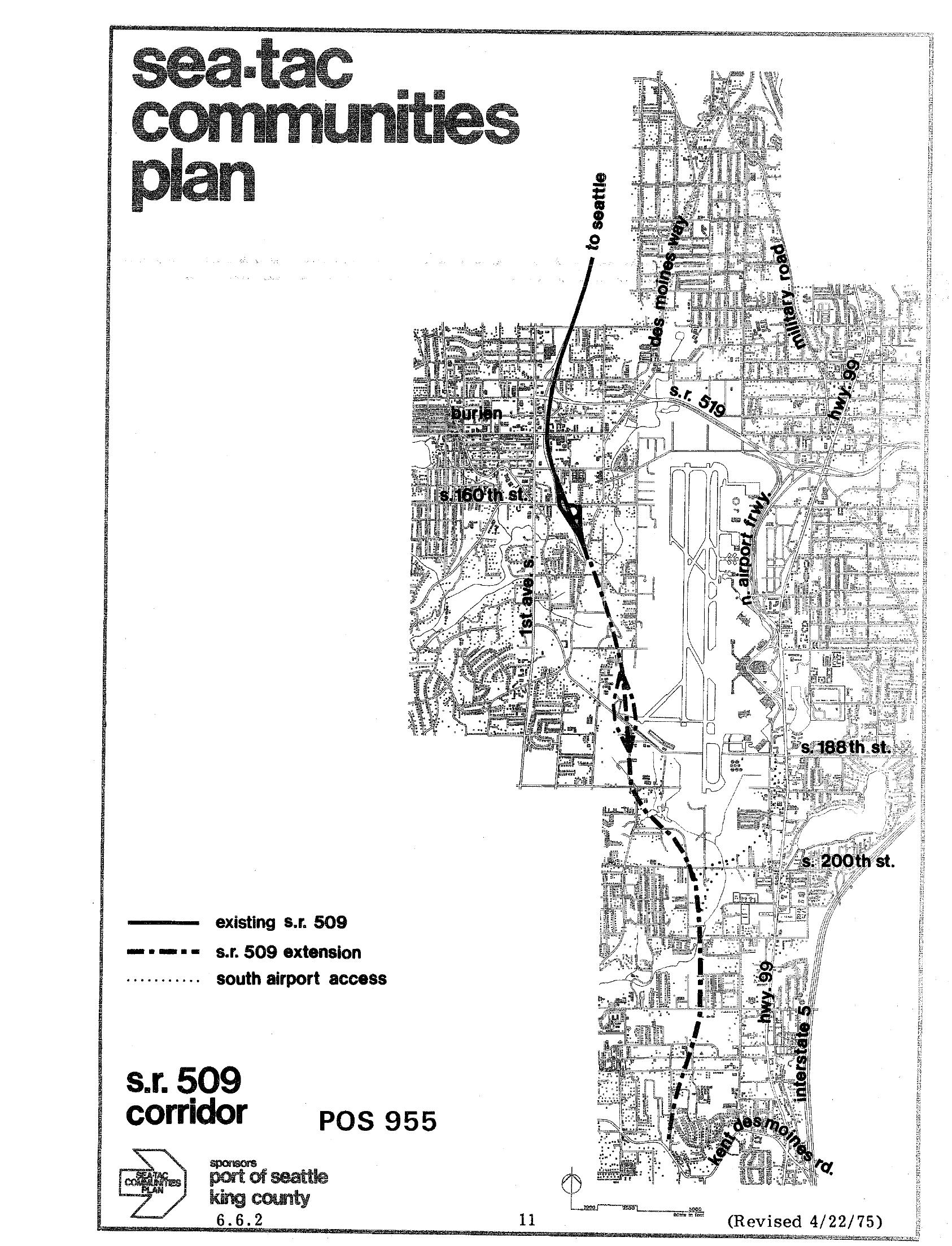
A planning map from the Sea-Tac Communities Plan (POS 955), sponsored by the Port of Seattle and King County, showing the existing S.R. 509 alignment, the proposed S.R. 509 extension, and the south airport access route in the vicinity of Seattle-Tacoma International Airport. The document is dated revised 4/22/75 and is identified as page 11, section 6.6.2.Open full document
Notes
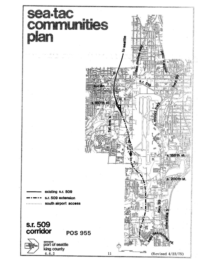
A planning map from the Sea-Tac Communities Plan (POS 955), sponsored by the Port of Seattle and King County, showing the existing S.R. 509 alignment, the proposed S.R. 509 extension, and the south airport access route in the vicinity of Seattle-Tacoma International Airport. The document is dated revised 4/22/75 and is identified as page 11, section 6.6.2.