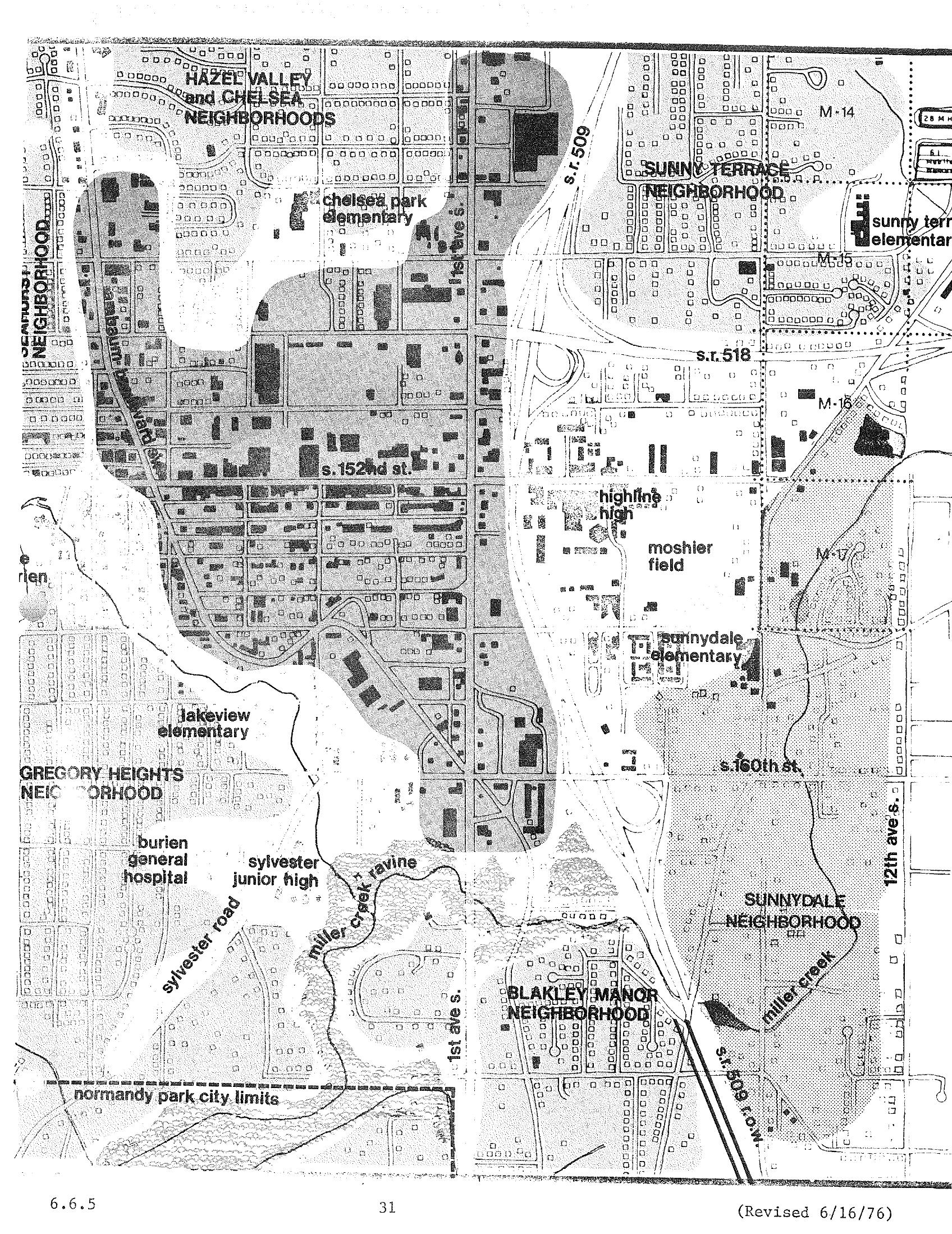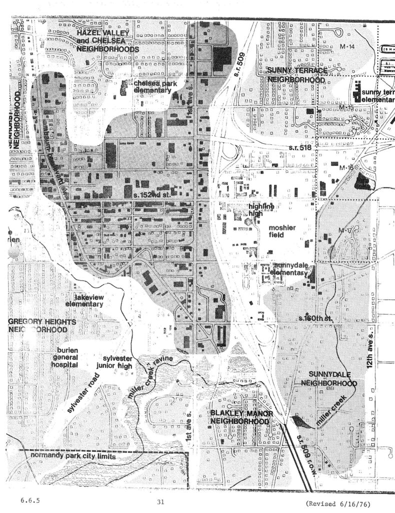
A planning map dated revised 6/16/76 (page 31, section 6.6.5) showing neighborhoods and landmarks in the Burien/Sea-Tac area of Washington State, including Hazel Valley, Chelsea, Sunny Terrace, Gregory Heights, Sunnydale, and Blakley Manor neighborhoods, along with schools (Chelsea Park Elementary, Lakeview Elementary, Highline High, Sunnydale Elementary), Burien General Hospital, Sylvester Junior High, Moshier Field, and major roads including S.R. 509, S.R. 518, and 1st Ave S. The map appears to be part of a noise or land-use study related to Sea-Tac Airport.Open full document
Notes
A planning map dated revised 6/16/76 (page 31, section 6.6.5) showing neighborhoods and landmarks in the Burien/Sea-Tac area of Washington State, including Hazel Valley, Chelsea, Sunny Terrace, Gregory Heights, Sunnydale, and Blakley Manor neighborhoods, along with schools (Chelsea Park Elementary, Lakeview Elementary, Highline High, Sunnydale Elementary), Burien General Hospital, Sylvester Junior High, Moshier Field, and major roads including S.R. 509, S.R. 518, and 1st Ave S. The map appears to be part of a noise or land-use study related to Sea-Tac Airport.