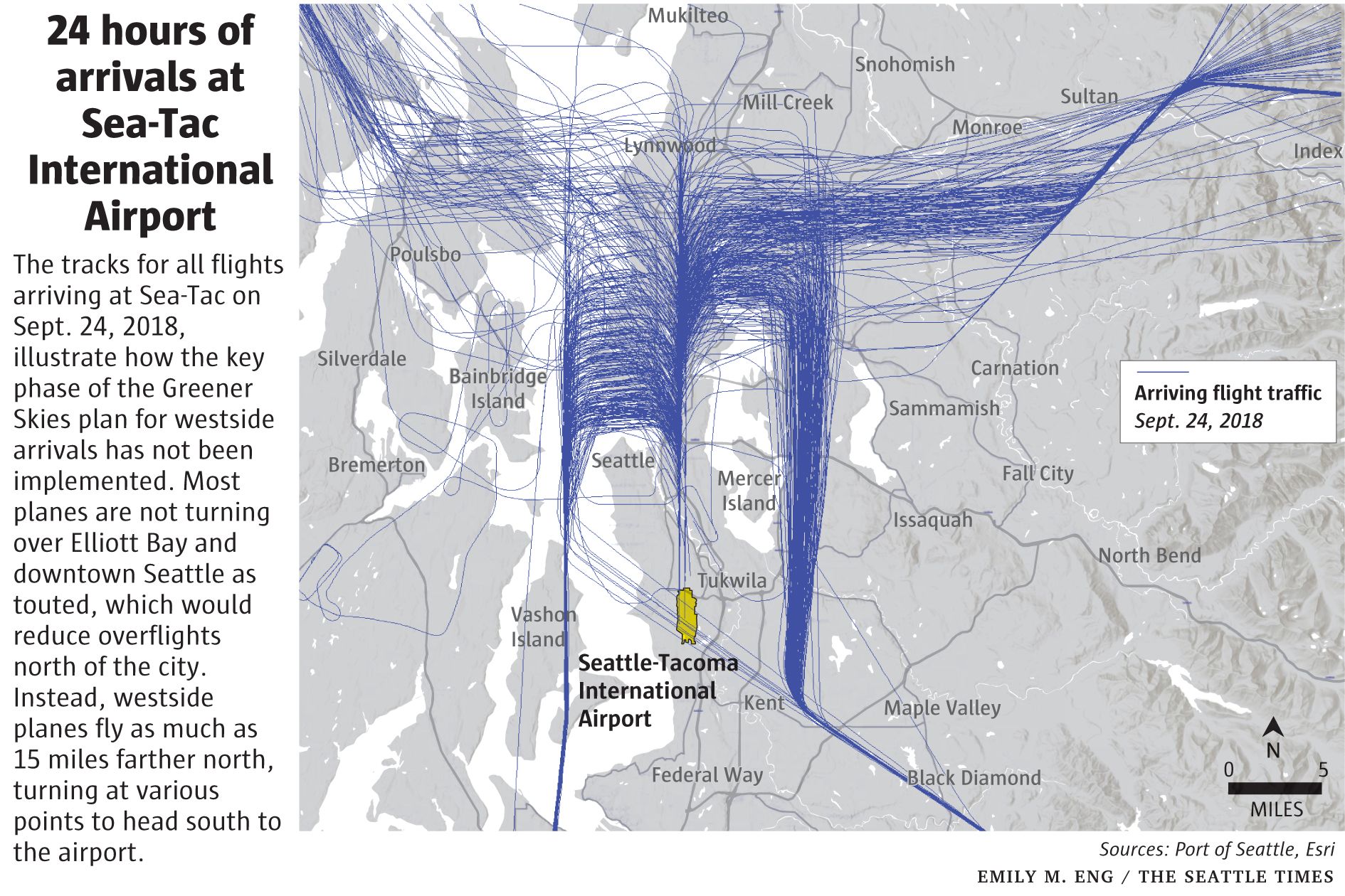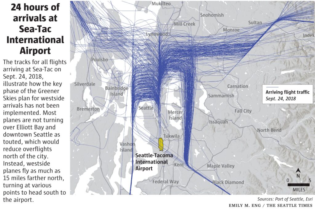
A flight-track map published by The Seattle Times (graphic by Emily M. Eng, sources: Port of Seattle and Esri) showing all arriving flights at Seattle-Tacoma International Airport on September 24, 2018. The graphic illustrates that the Greener Skies plan's westside-arrival procedure had not been implemented as designed, with planes flying up to 15 miles farther north than intended rather than turning over Elliott Bay and downtown Seattle.Open full document
Notes
Flight tracking visualization showing arrival patterns at Seattle-Tacoma International Airport on September 24, 2018, illustrating how aircraft approach paths have not implemented the Greener Skies plan for westside arrivals. The map demonstrates that most planes fly up to 15 miles north before turning south to the airport instead of turning over Elliott Bay and downtown Seattle.