Notes
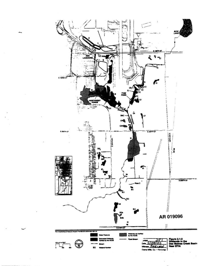
Administrative Record exhibit AR019096, Figure 2.1-3, depicting delineated and unverified wetlands in the Des Moines Creek Basin near Seattle-Tacoma International Airport (STIA). Map shows water features including Bow Lake, Tyee Pond, Northwest Ponds, IWS Lagoons, Des Moines Creek, Fleet Branch, and numbered wetland units (B-series, G-series, S-series, DMC, WH). Wetlands verified by the Army Corps of Engineers (ACOE) and wetlands not verified are distinguished. Witness Sheldon signed exhibit dated 2/05/02 for Dana Mills Court Reporter. Filed in PCHB Third Runway EIS proceedings.