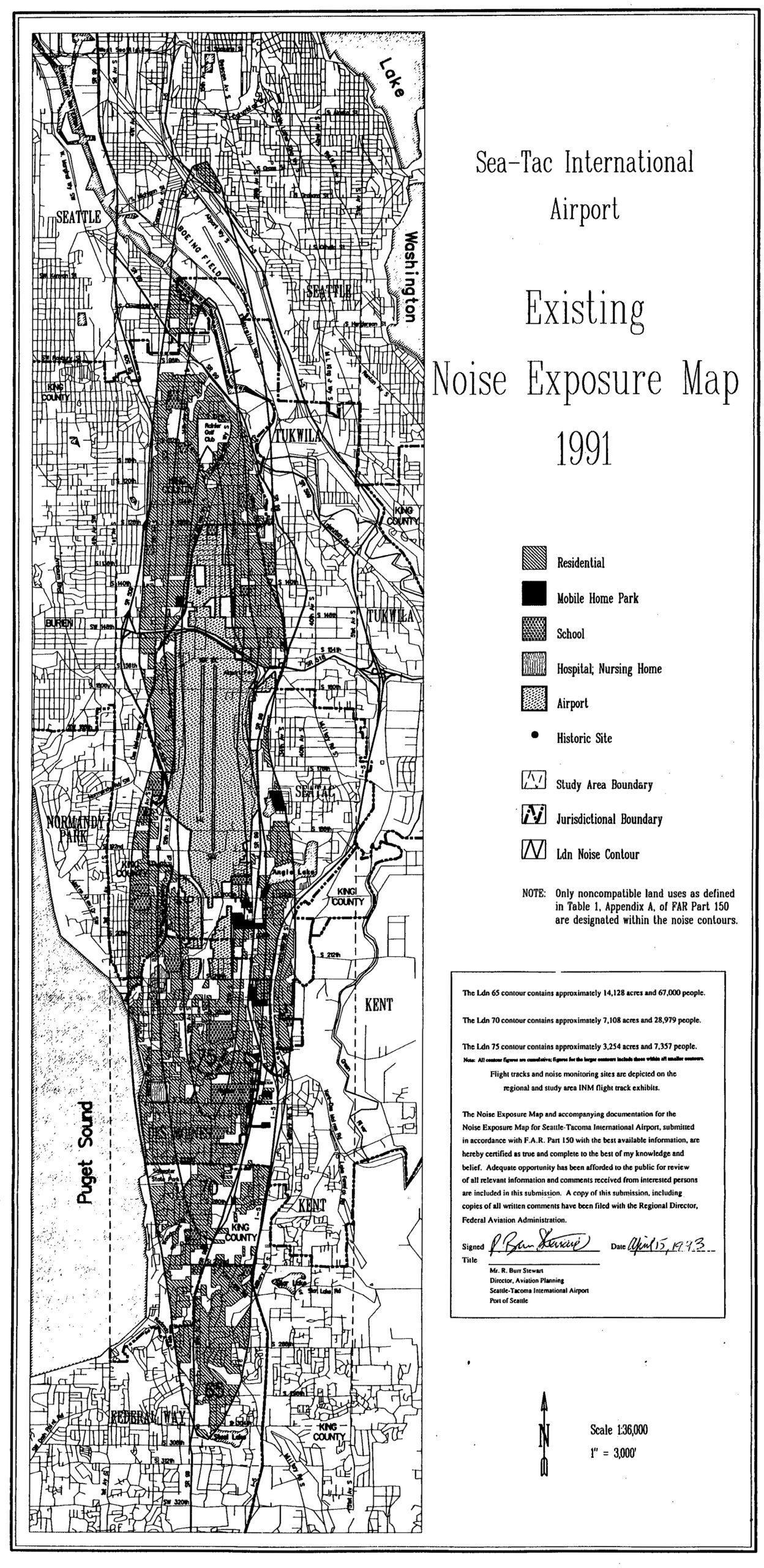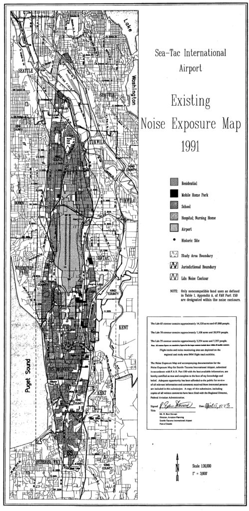
This is the official 1991 Existing Noise Exposure Map for Seattle-Tacoma International Airport, submitted in accordance with F.A.R. Part 150, signed by R. Bun Stewart, Director of Aviation Planning, Port of Seattle, on April 15, 1993. The map depicts Ldn noise contours (65, 70, and 75) over the surrounding communities including Seattle, Tukwila, SeaTac, Normandy Park, Burien, Kent, and Federal Way, with the Ldn 65 contour encompassing approximately 14,128 acres and 67,000 people.Open full document
Notes
This is the official 1991 Existing Noise Exposure Map for Seattle-Tacoma International Airport, submitted in accordance with F.A.R. Part 150, signed by R. Bun Stewart, Director of Aviation Planning, Port of Seattle, on April 15, 1993. The map depicts Ldn noise contours (65, 70, and 75) over the surrounding communities including Seattle, Tukwila, SeaTac, Normandy Park, Burien, Kent, and Federal Way, with the Ldn 65 contour encompassing approximately 14,128 acres and 67,000 people.