Notes
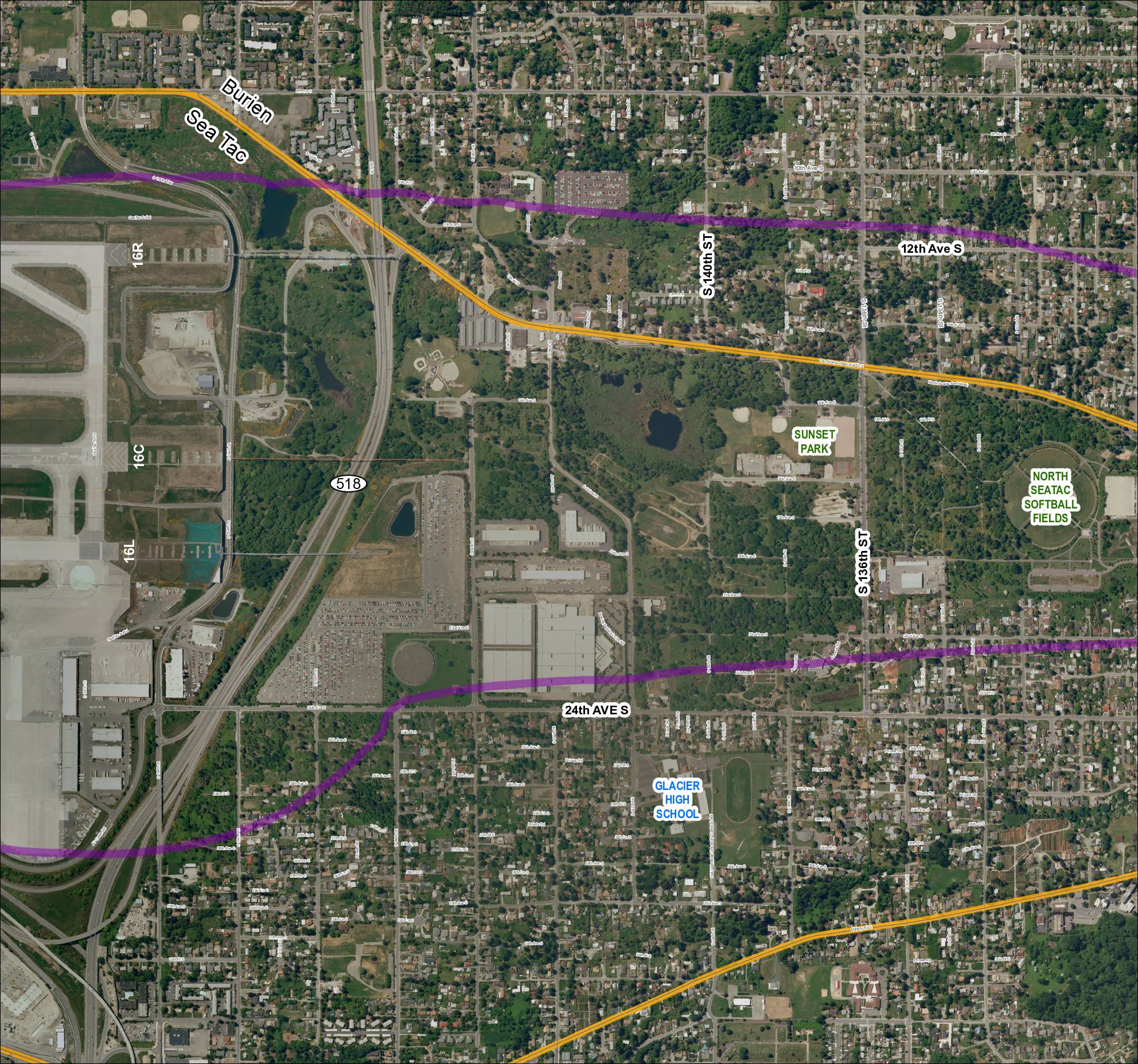
Aerial/satellite basemap of Grid 4 covering the Sea-Tac Airport vicinity for 2013 baseline reference. Shows runway designations 16R, 16C, and 16L, SR 518, S 136th St, S 140th St, 24th Ave S, Glacier High School, Sunset Park, North SeaTac Softball Fields, and surrounding street network in the Burien/SeaTac area of King County, Washington. Purple and yellow overlay lines indicate study corridors or noise contour boundaries.