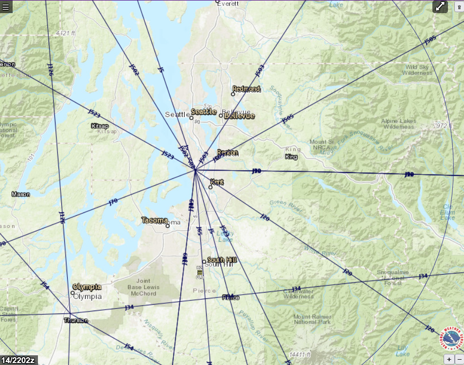
A National Weather Service (NWS)-branded interactive aviation map showing FAA high-altitude jet routes (J-routes) radiating from a central fix near Seattle-Tacoma International Airport (Sea-Tac), with surrounding cities including Seattle, Bellevue, Renton, Kent, Tacoma, and Olympia visible. The map is timestamped 14/2202z and displays multiple labeled jet airways (J20, J34, J90, J523, etc.) overlaid on a terrain basemap of the greater Puget Sound region.Open full document
Notes
A National Weather Service (NWS)-branded interactive aviation map showing FAA high-altitude jet routes (J-routes) radiating from a central fix near Seattle-Tacoma International Airport (Sea-Tac), with surrounding cities including Seattle, Bellevue, Renton, Kent, Tacoma, and Olympia visible. The map is timestamped 14/2202z and displays multiple labeled jet airways (J20, J34, J90, J523, etc.) overlaid on a terrain basemap of the greater Puget Sound region.