Notes
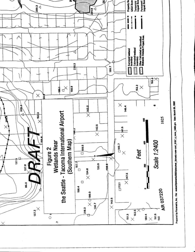
AR037220 draft wetland map (Figure 2, Southern Map) prepared by Parametrix, Inc., dated March 05, 2002, depicting wetlands near Seattle-Tacoma International Airport. Map shows surveyed wetland boundaries, estimated wetland boundaries, SASA boundaries, temporary and permanent impact boundaries, and wetlands outside project area at scale 1:2400. Includes elevation data points and wetland delineation markers across the southern portion of the Sea-Tac Airport property.