Notes
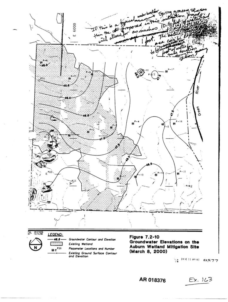
Figure 7.2-10 showing groundwater contour elevations on the Auburn Wetland Mitigation Site as of March 8, 2000. Map displays piezometer locations (P-1 through P-23), groundwater contour lines with elevations ranging from approximately 45.5 to 48.5 feet, existing wetland areas, and existing ground surface contours near the Green River. Handwritten annotations reference spring groundwater levels, 0.15-foot water depth, and proposed City design for the wetland mitigation project. Administrative Record document AR 018376, Exhibit 163.