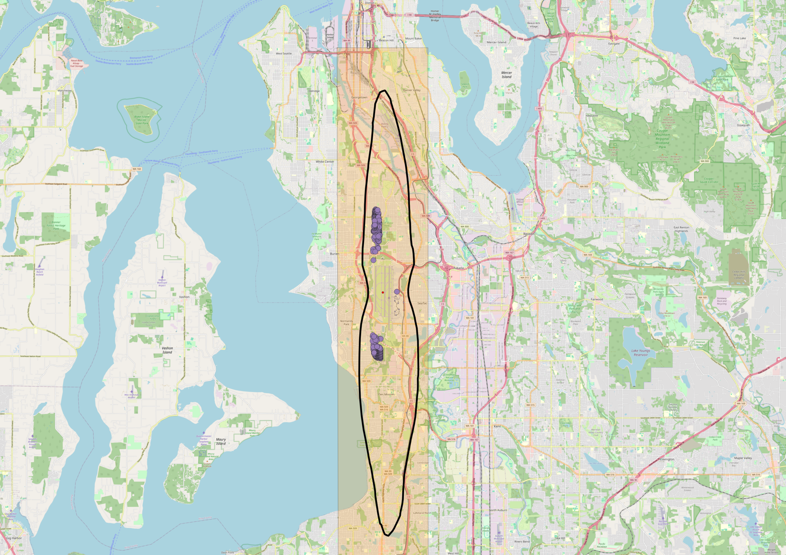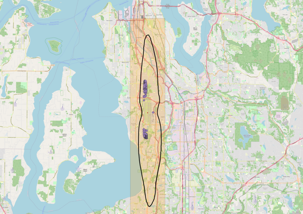
An OpenStreetMap-based map centered on the Seattle–Tacoma (Sea-Tac) Airport area showing a highlighted corridor (shaded in orange/yellow) and a black oval outline delineating what appears to be a flight path or noise impact study zone. Clustered purple markers, likely representing noise complaint locations or monitoring stations, are visible near Burien and a southern cluster near Des Moines/Federal Way, with Sea-Tac Airport identifiable near the center of the map.Open full document
Notes
An OpenStreetMap-based map centered on the Seattle–Tacoma (Sea-Tac) Airport area showing a highlighted corridor (shaded in orange/yellow) and a black oval outline delineating what appears to be a flight path or noise impact study zone. Clustered purple markers, likely representing noise complaint locations or monitoring stations, are visible near Burien and a southern cluster near Des Moines/Federal Way, with Sea-Tac Airport identifiable near the center of the map.