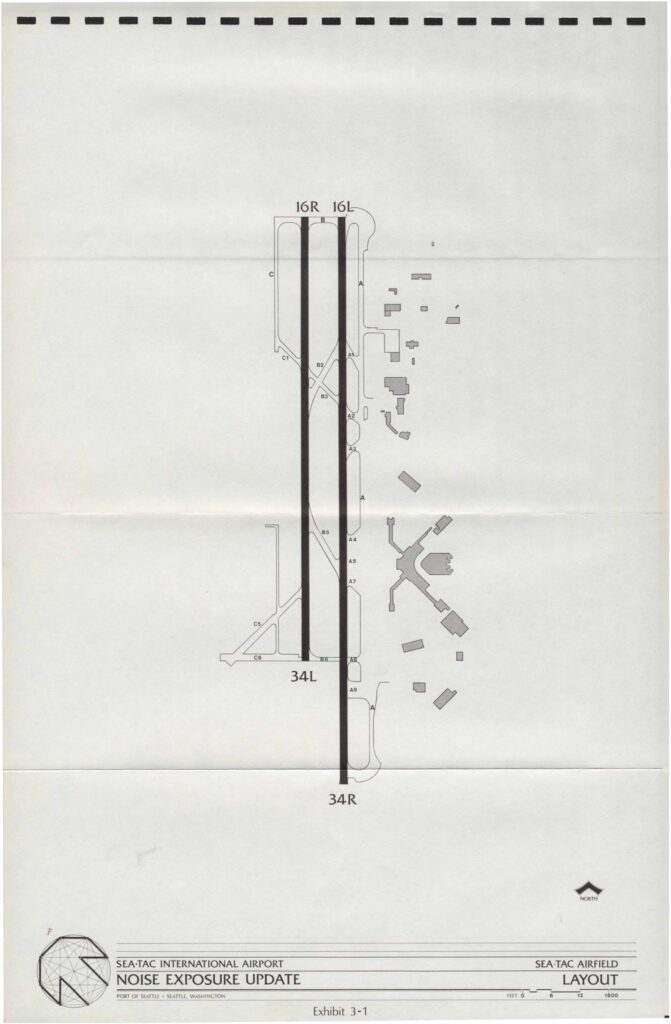
Sea-Tac International Airport Noise Exposure Update: Sea-Tac Airfield Layout and Flight Tracks

This document presents the Sea-Tac International Airport Noise Exposure Update prepared for the Port of Seattle, including a detailed airfield layout showing the two parallel runways (16R/16L and 34R/34L) and associated taxiways. It also includes flight track maps for both South Flow and North Flow operations, illustrating arrival and departure routes used by aircraft over the surrounding communities. The exhibits provide a geographic overview of how flight paths extend across the Seattle metropolitan area, informing noise exposure assessments for airport planning and policy purposes.

Notes

Port Of Seattle Sea-Tac International Airport Noise Exposure Update maps including three exhibits: Exhibit 3-1 Sea-Tac Airfield Layout showing runways 16R, 16L, 34L, 34R and taxiways; Exhibit 3-2 South Flow Flight Tracks showing arrival (dotted) and departure (solid) patterns over Seattle, Interstate 90, Interstate 5, US-99, Des Moines, SW 128th, Kent-Des Moines Road, S 320th, US-18; Exhibit 3-3 North Flow Flight Tracks showing the same arrival and departure track types. Flight tracks labeled C and J extend over Puget Sound, Seattle, and surrounding communities. Document filename encodes date 20220828 and identifier SPL-SP-SST.

V V