Notes
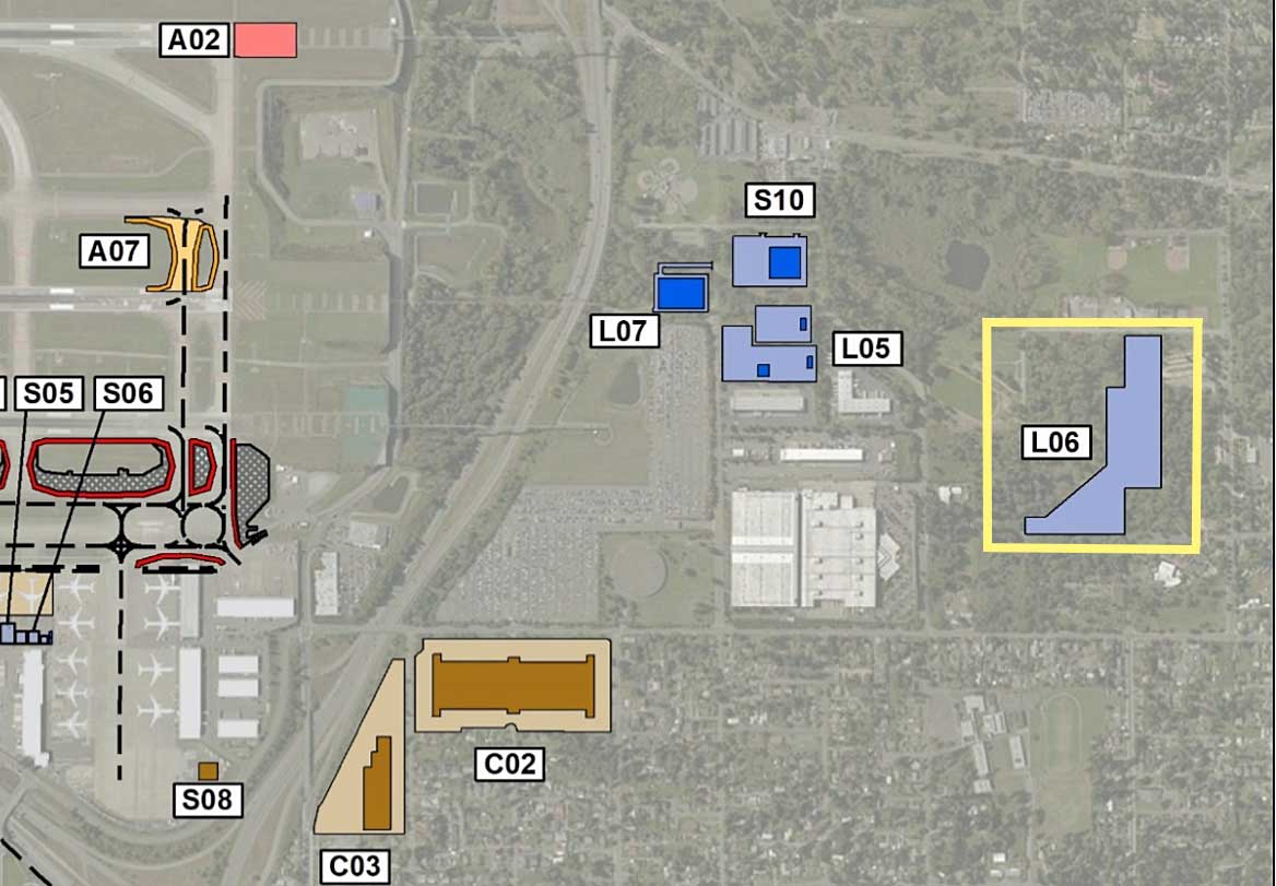
Aerial site map of Sea-Tac Airport showing labeled parcels and facilities including Parking Lot L06 (highlighted in yellow), L05, L07, S10, S05, S06, S08, A02, A07, C02, and C03. The map depicts the airport’s northeastern parking and facility zones east of the terminal complex, with L06 appearing as a large L-shaped structure in the far eastern portion of the airport property. Blue-shaded structures indicate existing or planned buildings; gold/tan shapes indicate terminal or concourse elements. Relevant to Port Of Seattle property management, airport layout plans, and Sea-Tac Airport parking infrastructure.