Notes
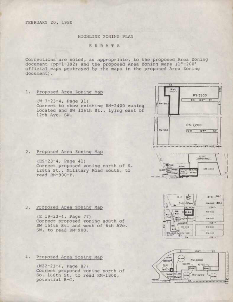
Errata document dated February 20, 1980 correcting the Highline Zoning Plan proposed Area Zoning document (pages 1-192) and associated 1″=200′ official Area Zoning maps. Six corrections listed: (1) Map W 7-23-4 (Page 31) corrected to show existing RM-2400 zoning at SW 126th St. east of 12th Ave. SW; (2) Map E9-23-4 (Page 41) corrected to read RM-900-P north of S. 128th St. along Military Road South; (3) Map E 19-23-4 (Page 77) corrected to read RM-900 south of SW 154th St. west of 6th Ave. SW; (4) Map W22-23-4 (Page 87) corrected to read RM-1800 potential B-C north of So. 160th St.; (5) Page 102 corrected to add C-G to B-C zone change allowing office/retail use per Highline Communities Plan policy H14 and Comprehensive Plan policies B-24 and B-30; (6) text on pages 141-142 repositioned to follow page 72.