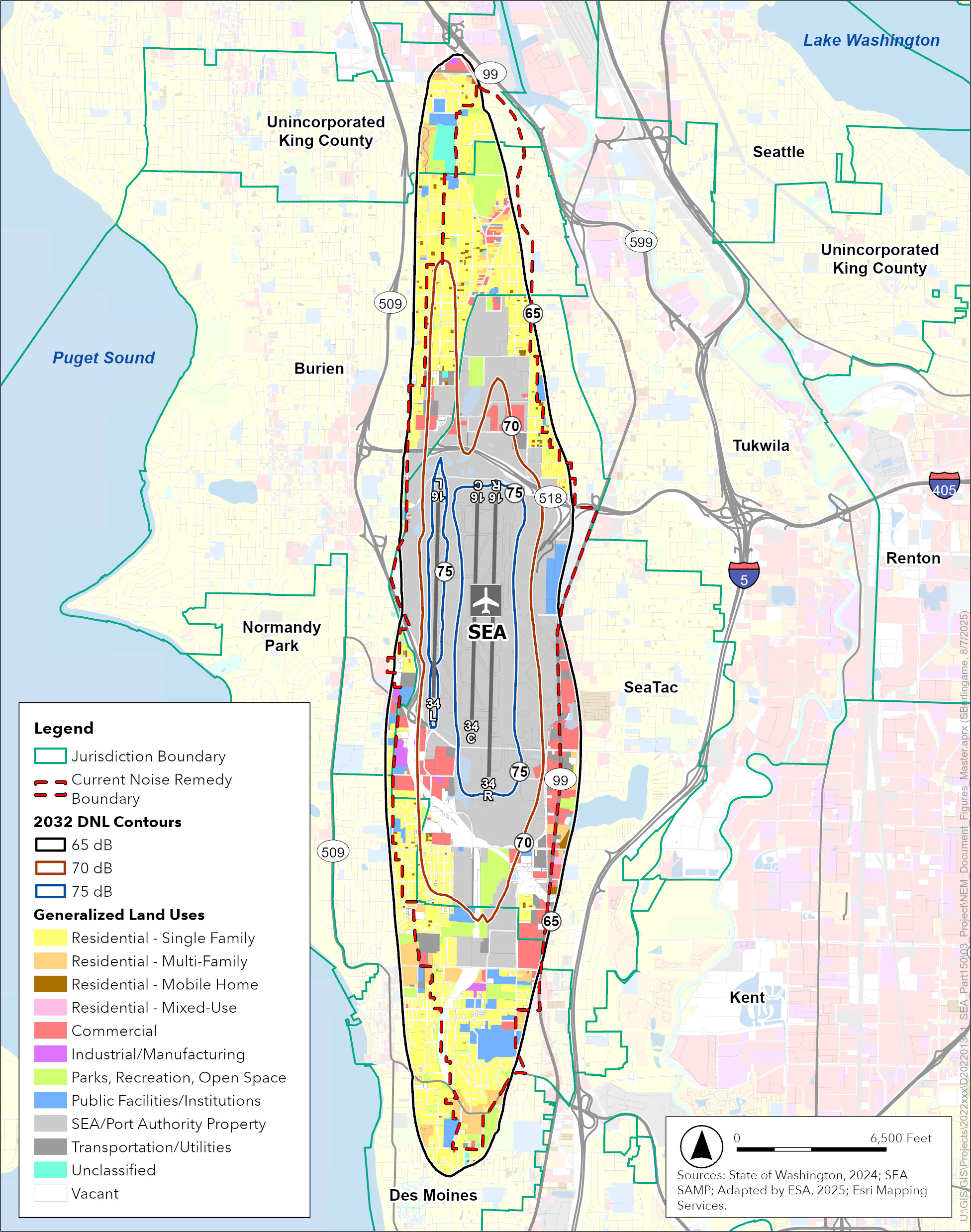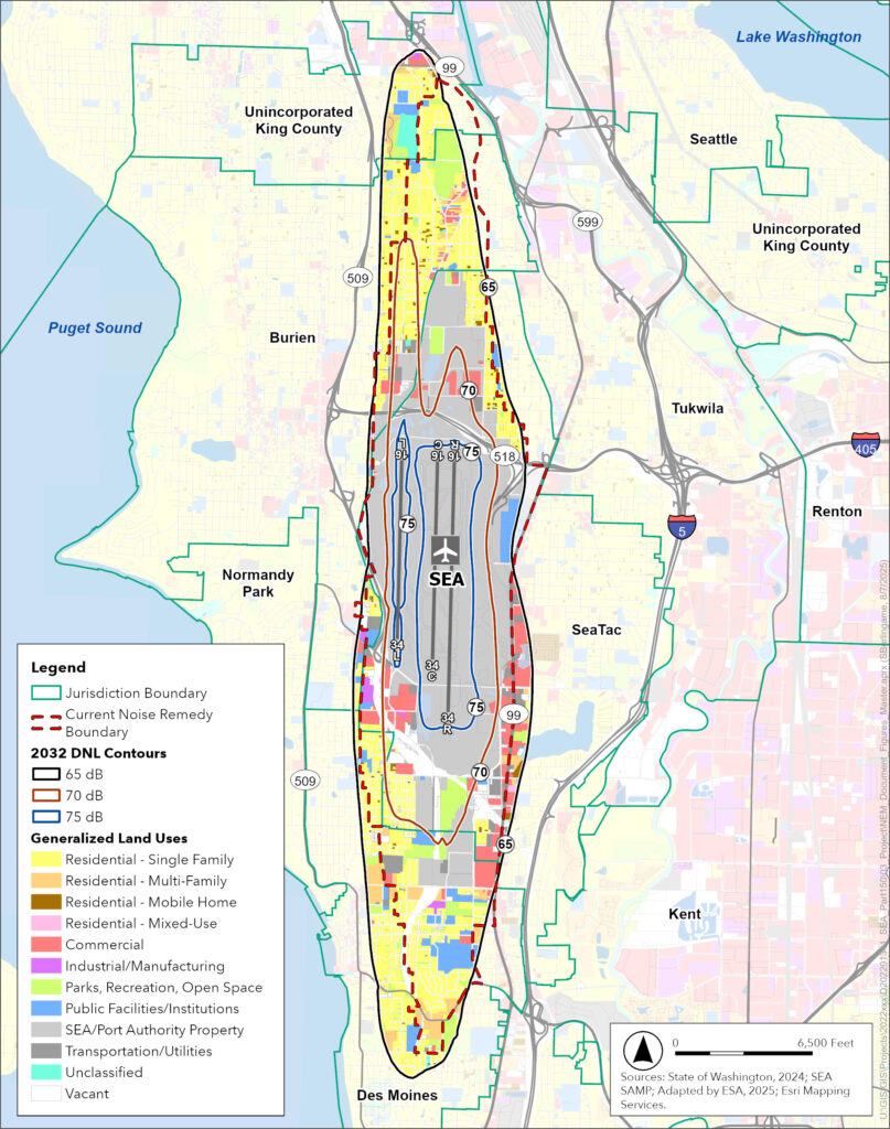
This GIS map depicts the 2032 Day-Night Average Sound Level (DNL) noise contours (65, 70, and 75 dB) for Seattle-Tacoma International Airport (SEA), overlaid with generalized land use classifications and the current Noise Remedy Boundary. Sourced from the State of Washington (2024) and SEA SAMP, adapted by ESA in 2025, the map covers surrounding jurisdictions including Burien, SeaTac, Tukwila, Normandy Park, Des Moines, and unincorporated King County.Open full document
Notes
This GIS map depicts the 2032 Day-Night Average Sound Level (DNL) noise contours (65, 70, and 75 dB) for Seattle-Tacoma International Airport (SEA), overlaid with generalized land use classifications and the current Noise Remedy Boundary. Sourced from the State of Washington (2024) and SEA SAMP, adapted by ESA in 2025, the map covers surrounding jurisdictions including Burien, SeaTac, Tukwila, Normandy Park, Des Moines, and unincorporated King County.