Notes
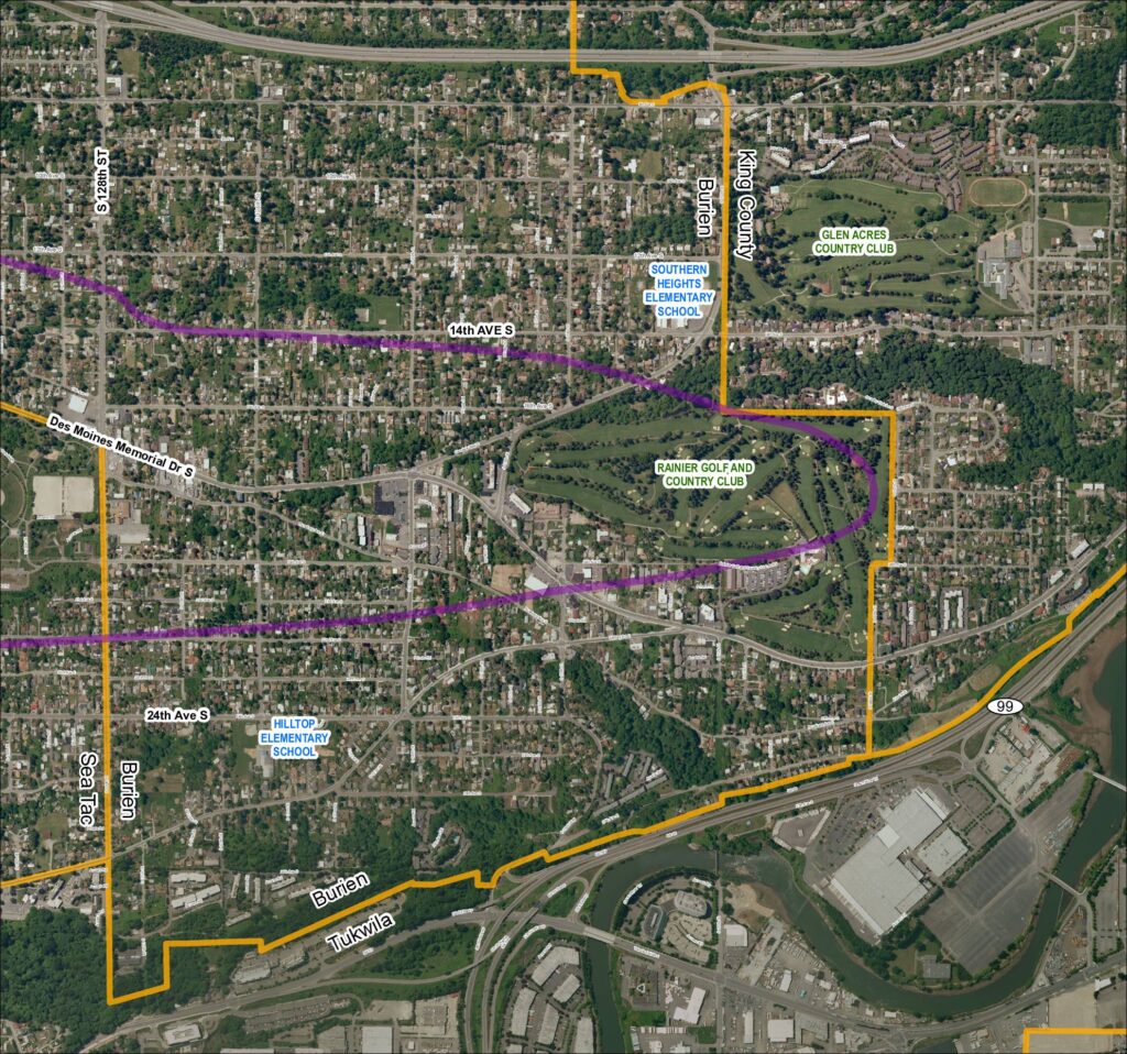
Aerial map of Grid 5 showing the 2013 baseline conditions for the Sea-Tac Airport area, covering portions of Burien, SeaTac, Tukwila, and unincorporated King County. Map depicts street network including SR 99, SR 599, Des Moines Memorial Dr S, Military Rd S, and surrounding residential areas. Notable landmarks include Southern Heights Elementary School, Hilltop Elementary School, Rainier Golf and Country Club, and Glen Acres Country Club. Purple line overlay indicates a flight corridor or noise contour boundary. Part of the Sea-Tac Communities Plan (STCP) mapping series.