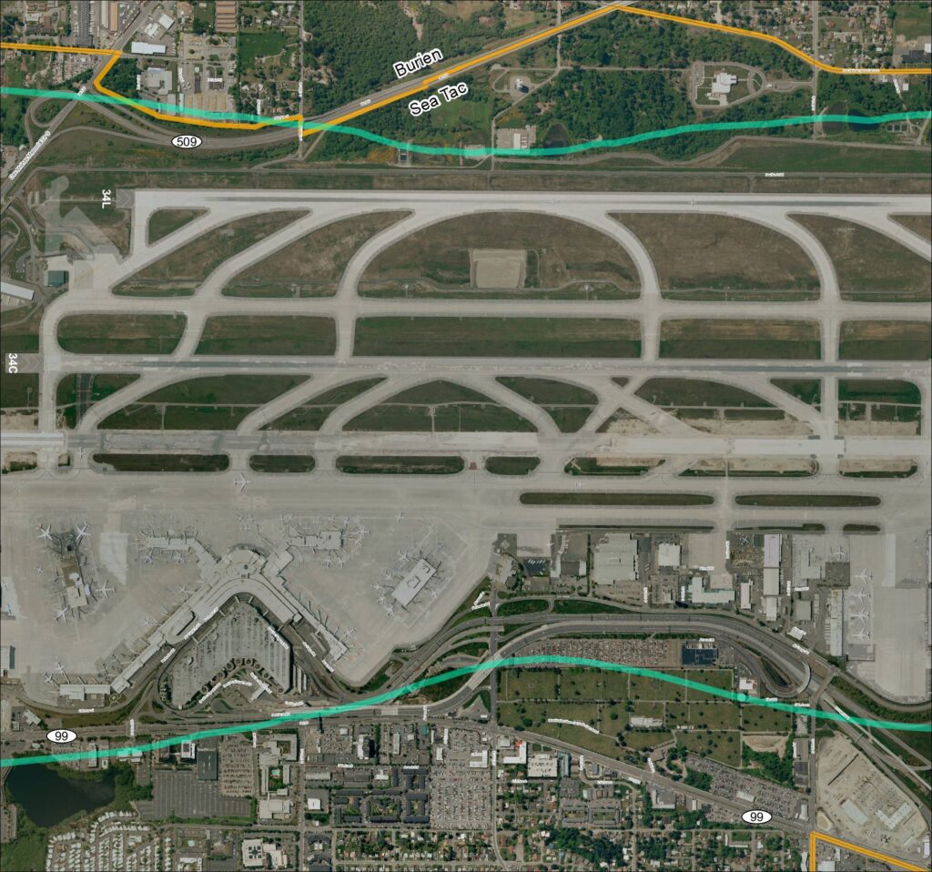
This aerial map depicts Seattle-Tacoma International Airport (Sea-Tac) and its surrounding communities of Burien and SeaTac, showing the airport's runway layout including runways 34L and 34C, along with the local road network and key routes such as SR 99 and SR 509. The map highlights the ST Light Rail corridor and major access roads serving the airport, providing geographic context for understanding flight paths and noise exposure areas in the region. It serves as a reference for analyzing the relationship between airport operations and the residential and commercial areas situated beneath approach and departure corridors.Open full document
Notes
Aerial satellite map (Grid 3) of Seattle-Tacoma International Airport (Sea-Tac Airport / KSEA) and surrounding area, showing runways 34L and 34C, terminal, air cargo facilities, taxiways, and perimeter roads. Map includes labeled streets (S 160th St, S 166th St, S 176th St, S 182nd St, Des Moines Memorial Dr S, Air Cargo Rd, Airmail Rd, Host Rd, Perimeter Rd), SR 509, SR 99, ST Light Rail corridor, and adjacent municipalities Burien and SeaTac. Overlays include Sound Transit light rail alignment and highway routes. Filename Grid3_2018.pdf indicates 2018 production date.