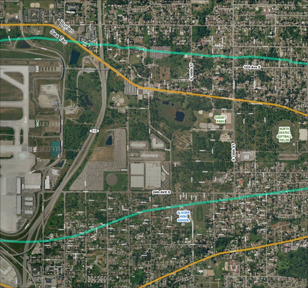
This map depicts the area surrounding Seattle-Tacoma International Airport, showing the airport's runway layout (including runways 16R, 16C, and 16L) alongside nearby neighborhoods in Burien and SeaTac. Two overlaid flight-path or noise-contour corridors (shown in teal/green and gold) arc across the surrounding residential and parkland areas, illustrating the geographic extent of aircraft noise impact. Notable landmarks within the affected area include Glacier High School, Sunset Park, and the North SeaTac Softball Fields, highlighting the communities exposed to airport-related noise.Open full document
Notes
Aerial satellite map labeled Grid 4 (2018) covering the SeaTac, Burien area near Sea-Tac Airport. Shows SR 518, runways 16R, 16C, and 16L, Glacier High School, Sunset Park, North SeaTac Softball Fields, and the street grid including S 132nd St through S 157th Pl, 24th Ave S, Des Moines Memorial Dr S, and Military Rd S. The map includes color-coded overlays (teal/green and yellow lines) indicating flight corridors or noise contour boundaries. Key landmarks include North SeaTac Park, Boeing parking lot access road, and CWU Westside University Center.